the usual
inconsistent at best
Hiking North Timpanogos 2022
The long-anticipated North Timpanogos summit 2022

I finally did it. After last year’s failed attempt I thought I’d take the direct route. The saddle was 6.4 miles which took me 2 hours and 40 minutes. I took a brief water break and thought, “I’m going to have this done in 6 hours!”. Well, the next 1.86 miles took another 2 hours and 10 minutes. 2 hours after that and I was finally back at the saddle, followed by another 2 hours to get down.

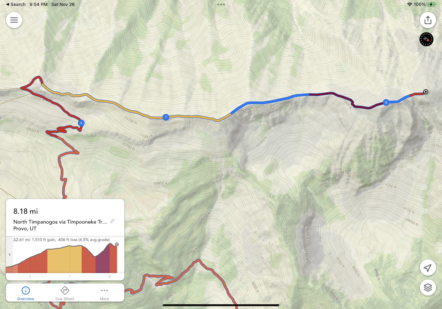
Hike stats: 4,920 feet of elevation gain. Round-trip: 16.8 miles. Total hike time: 8 hours, 54 minutes.

Let me break this down:

  • Time to hike the first 6.4 miles, gain 3,700 feet: 2 hours, 40 minutes
  • Time to hike the last 1.9 miles, gain 380 feet: 2 hours, 10 minutes

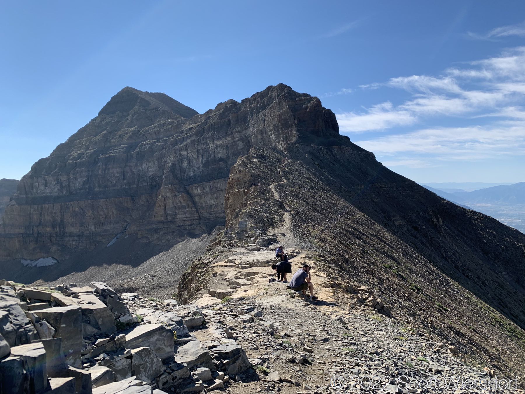
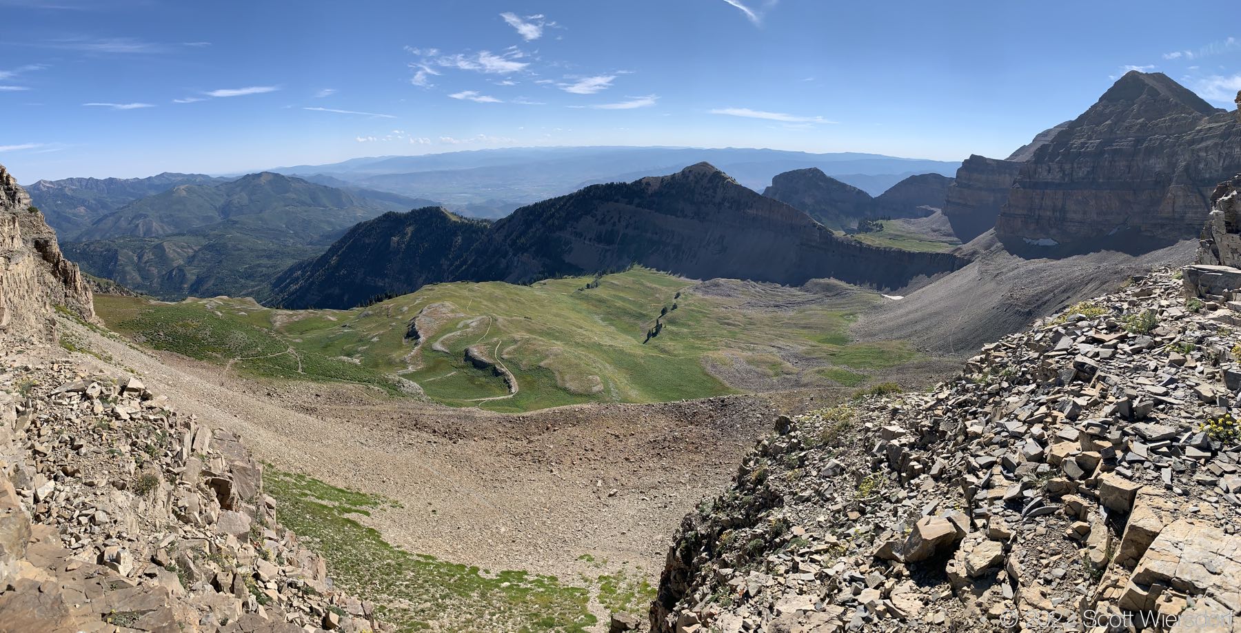
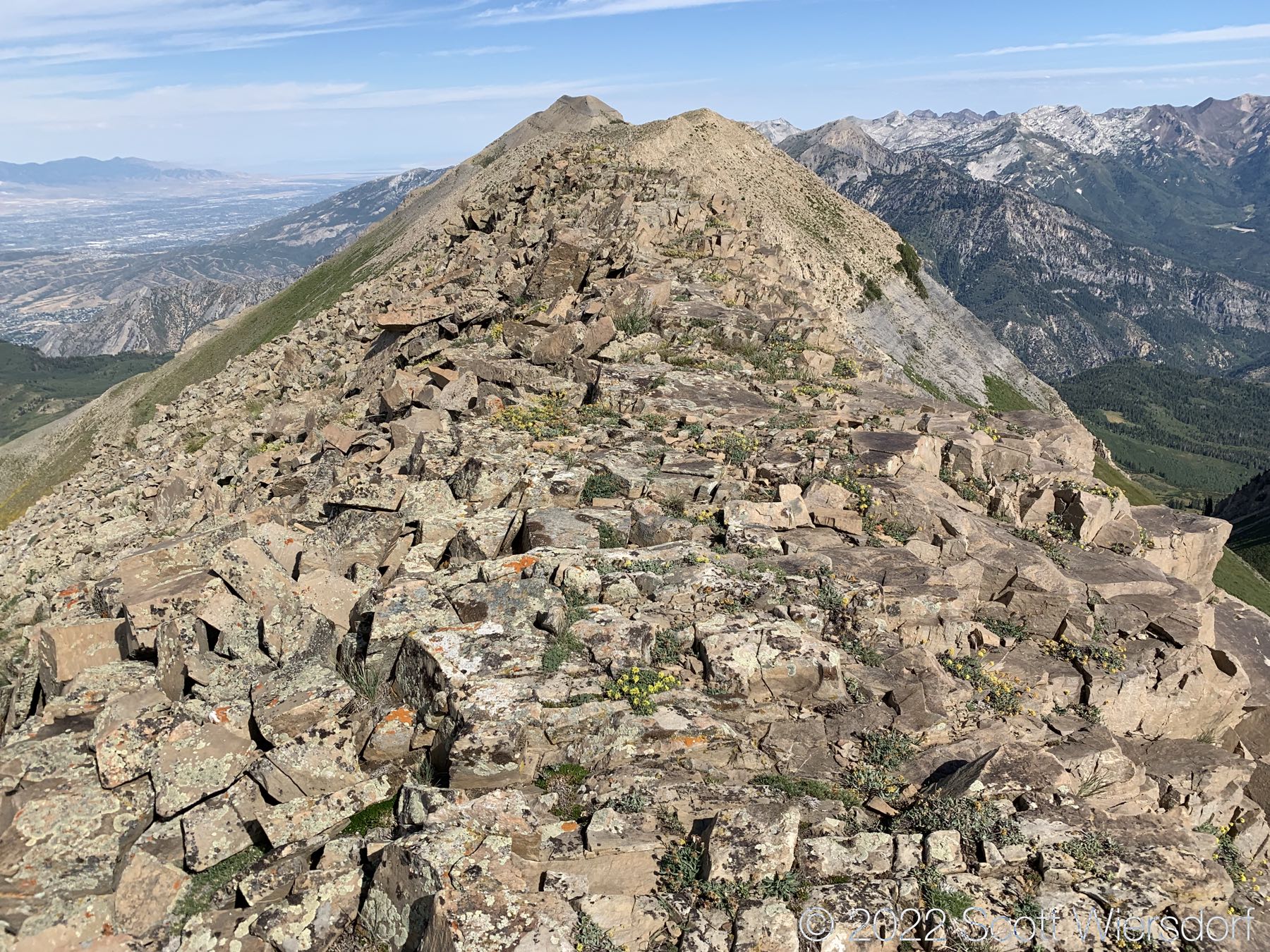
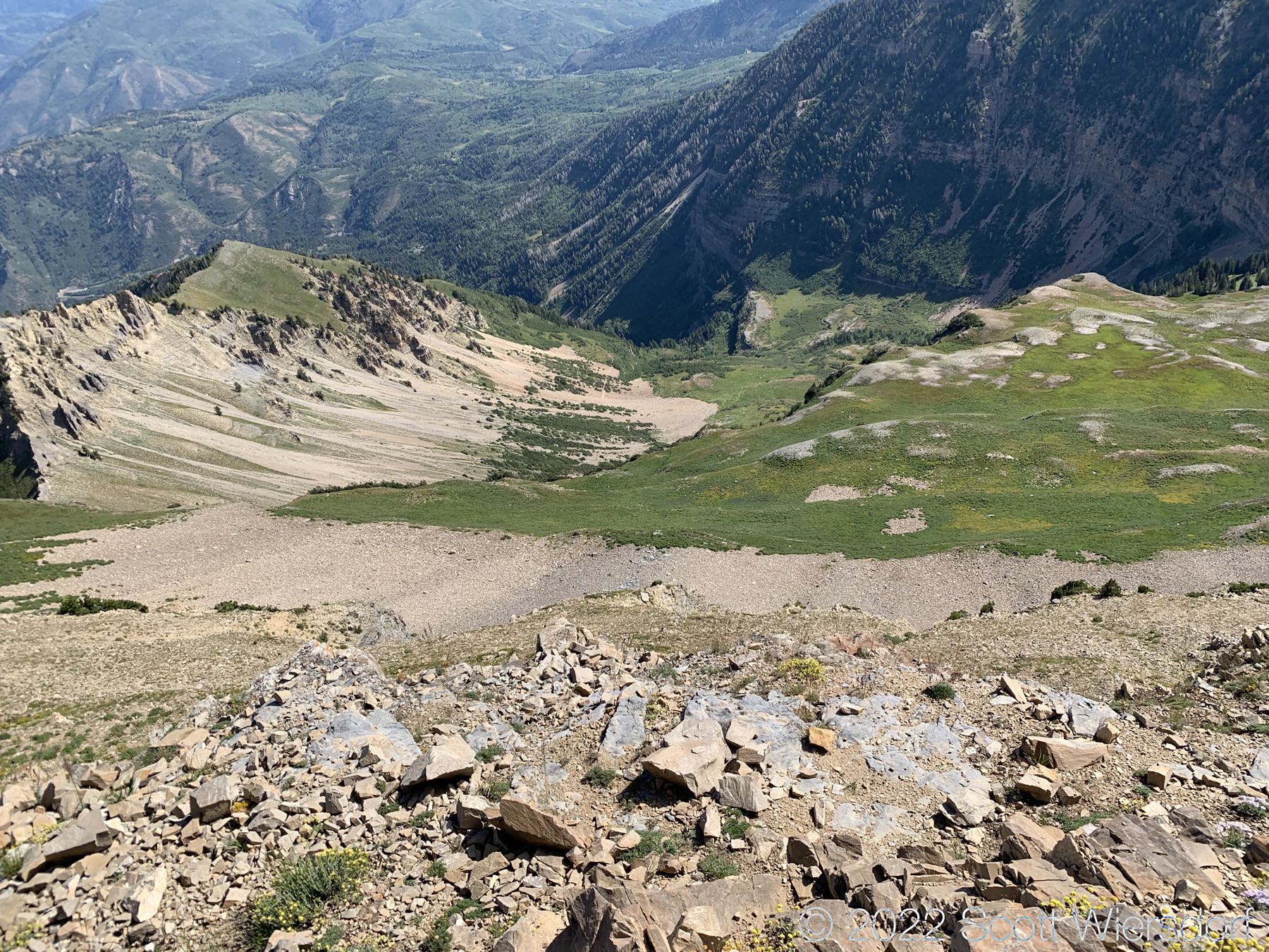
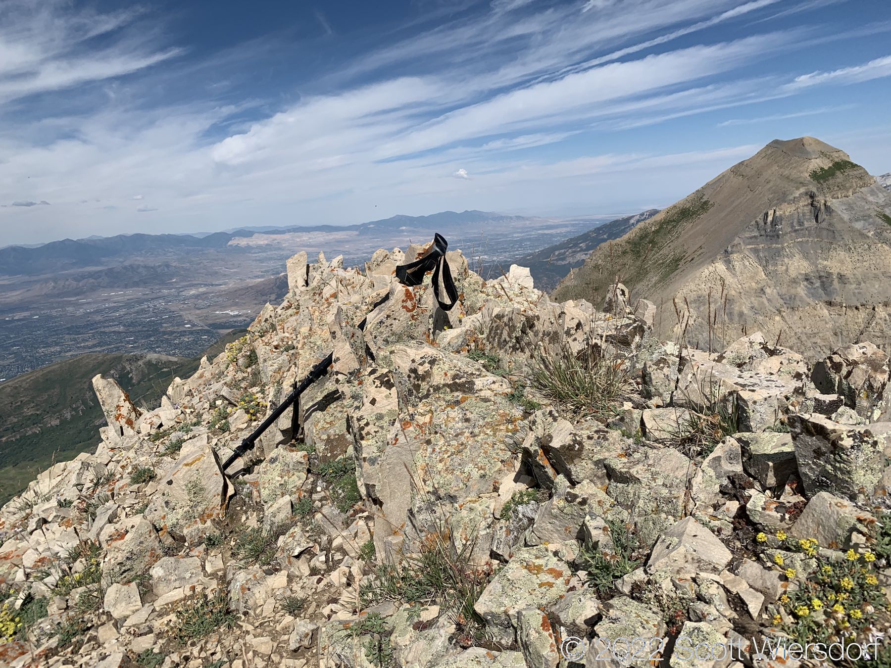
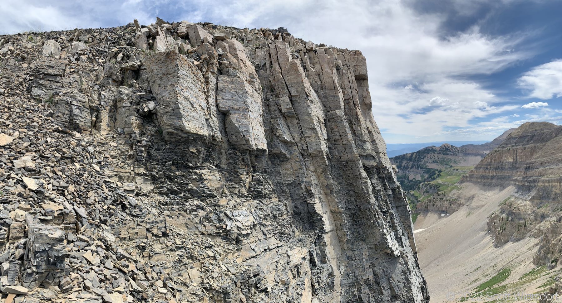
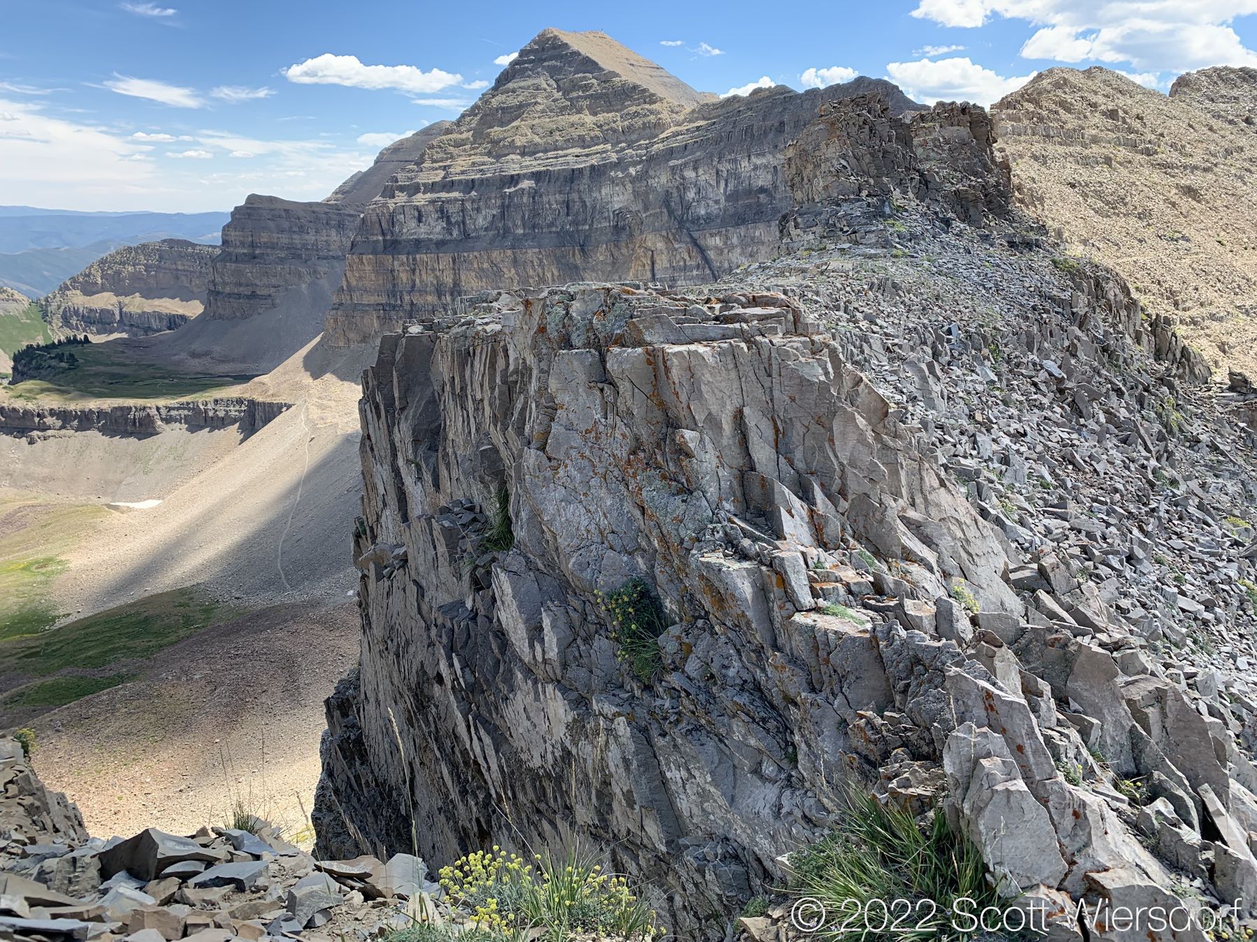
The ridge is unfriendly once you’re past Bomber Peak. No real trail. No dangers either, but it’s not an easy walk. In the final push to the North Timpanogos summit, you lose over 600 feet of elevation which you have to make up again in .3 miles, making most of the final pitch over 45° in some spots.

A challenging ridgeline

I’m glad I did it, but I don’t think I’ll be doing it again soon. I felt good, no pain during or after the hike, but I put out a lot of wattage on this one and really felt it the next day. I was fully recovered after about 2 days, much better than previous years.

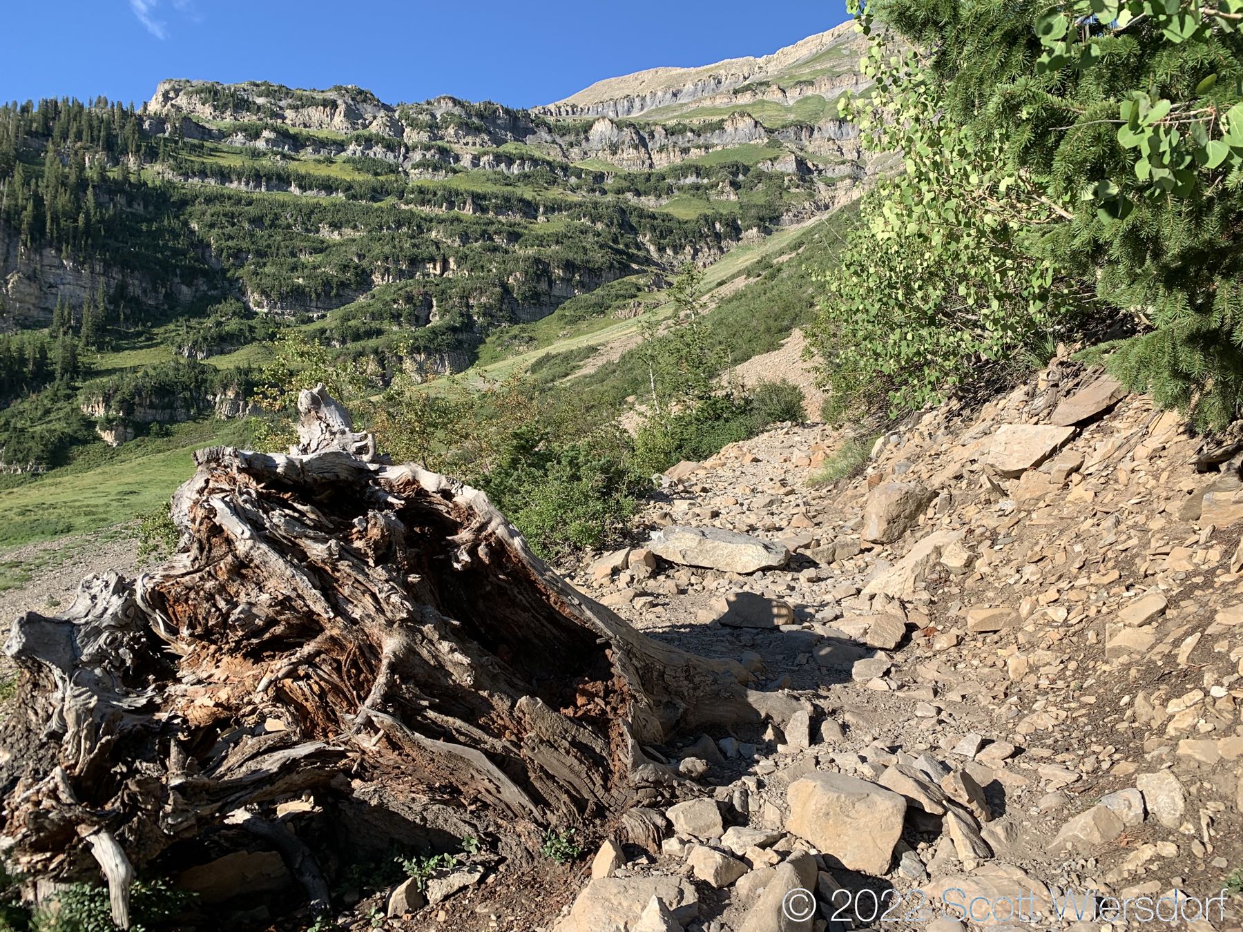
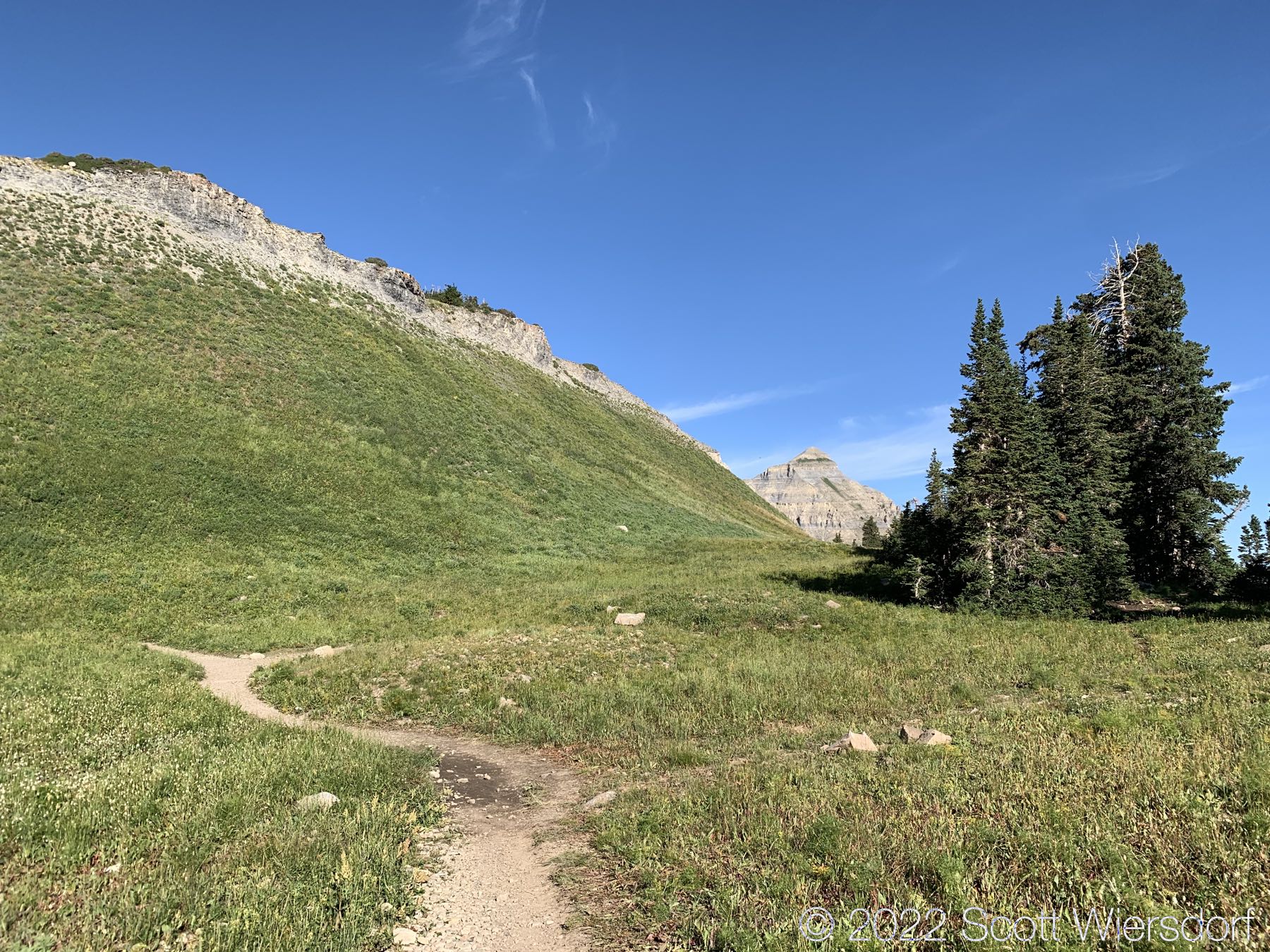
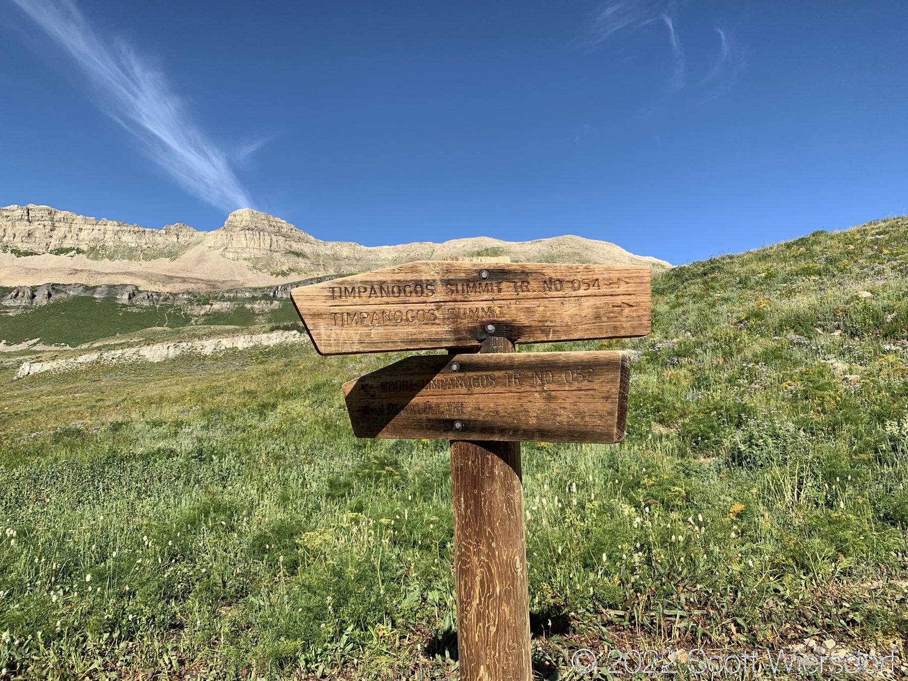
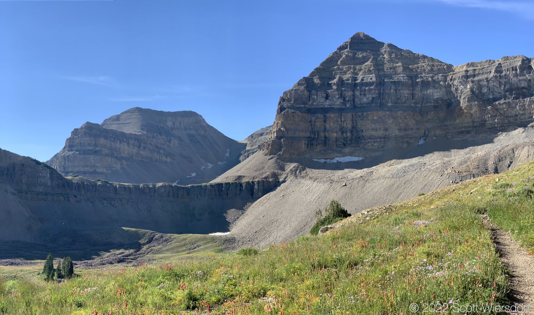
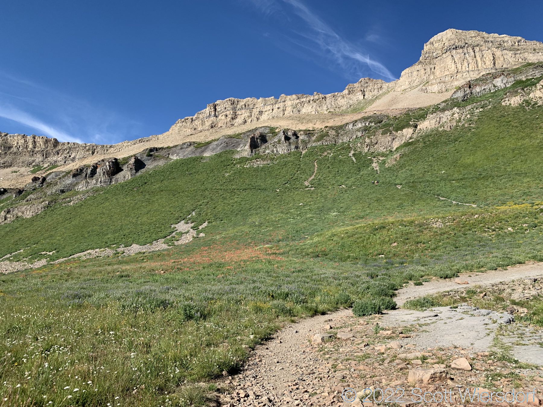
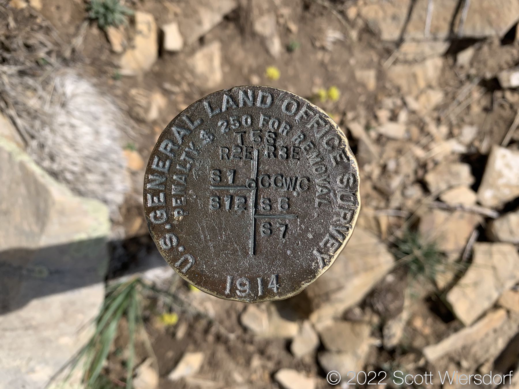
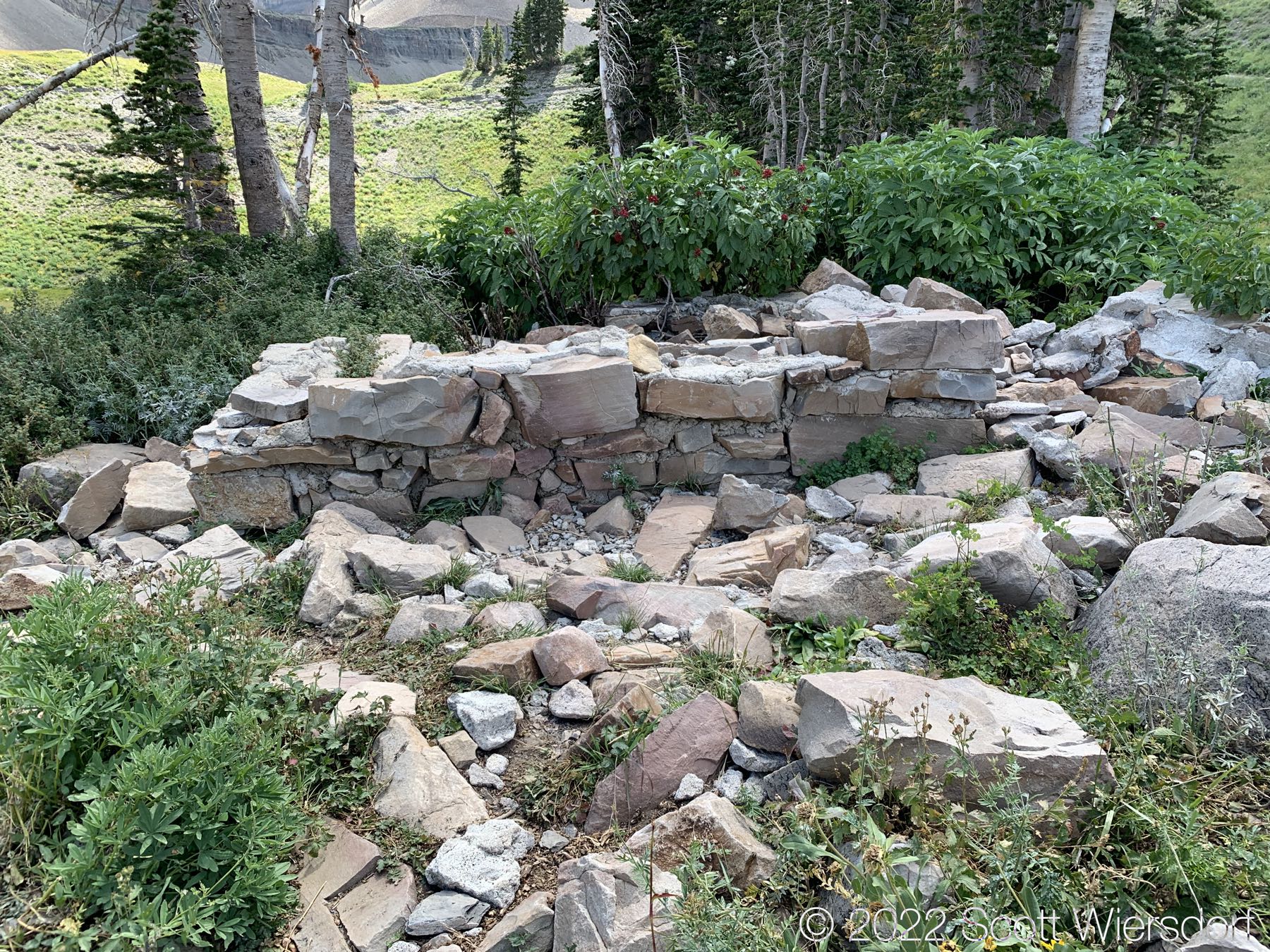
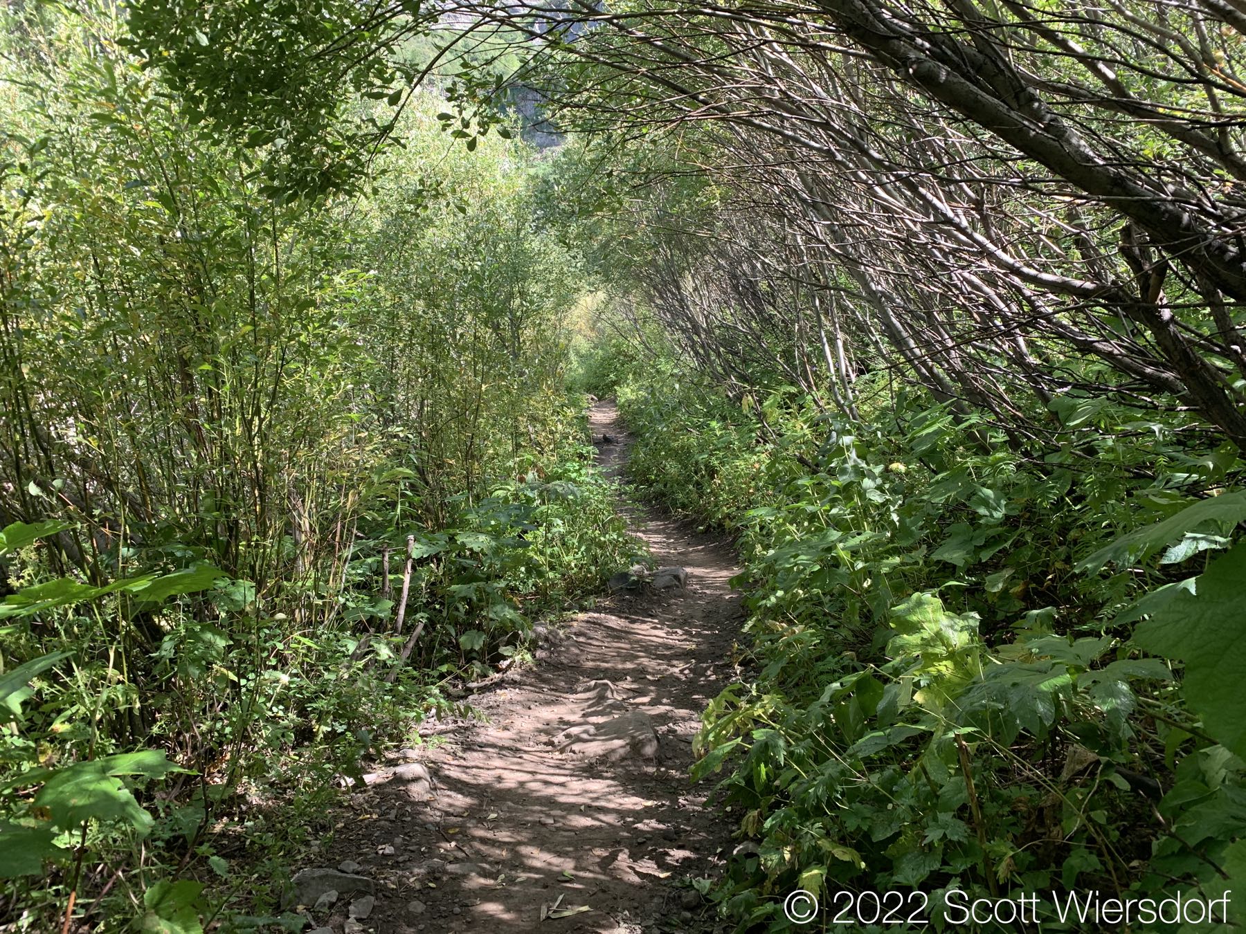
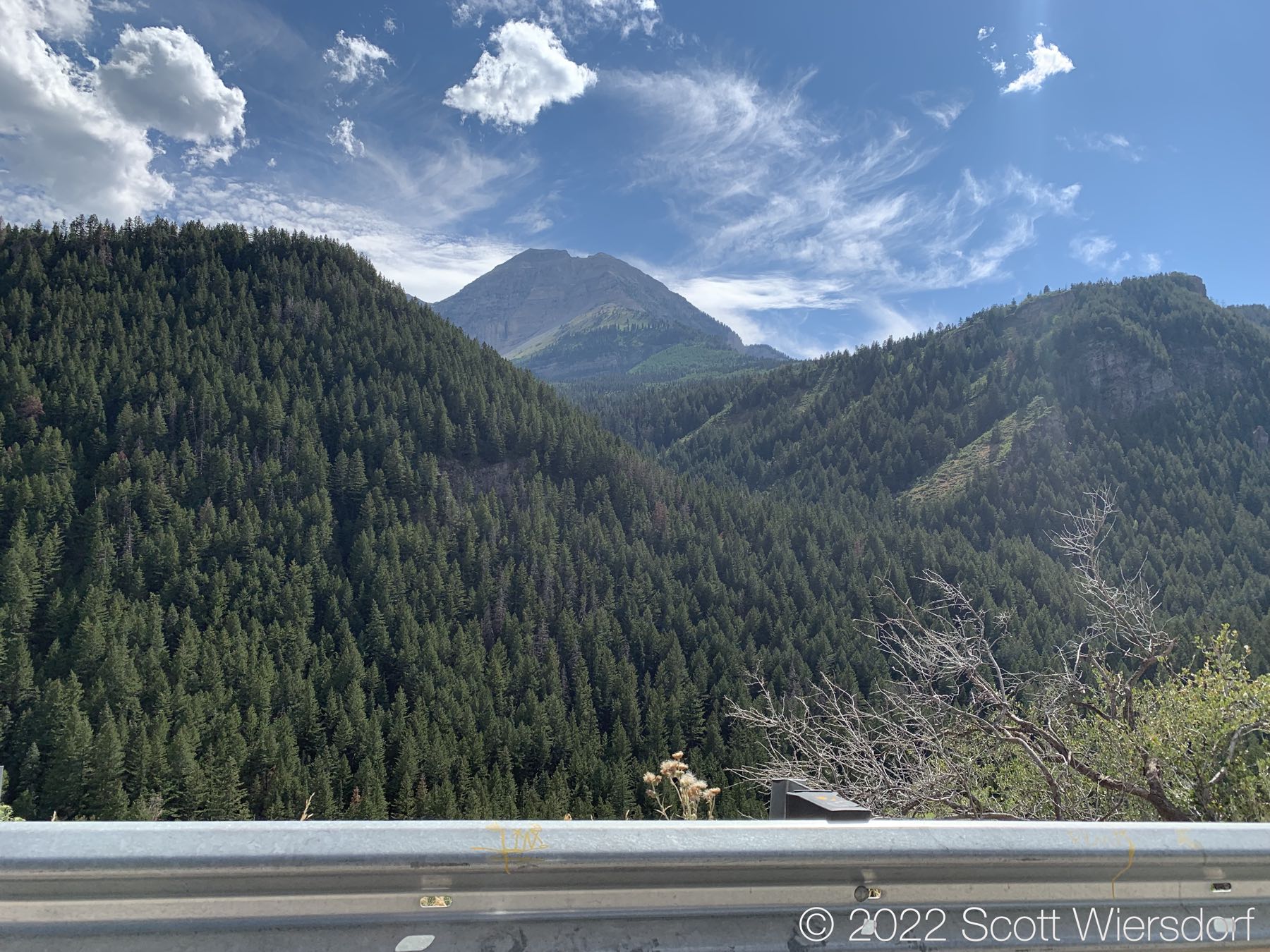
Please enjoy some photos.

Some water on the lower trail
3 Mile Stump (this is a name for the stump I just came up with)
Cliff walls
View of Forgotten Peak
Crossroads
View of Timpanogos Basin below Mount Timpanogos. South Timpanogos on left
Bomber Peak area below saddle
Battle Creek Canyon (center)
Timpanogos Saddle, looking south to Mount Timpanogos
Two tables of stone
Timpanogos Basin
Near Bomber Peak on Timpanogos ridge
Rocky ridgeline
U.S. General Land Office Survey Marker, 1914
Bomber Peak, some bomber debris visible in the rock field below
Zoom in to the bomber debris
Bomber fuselage wreckage visible
Another well-preserved survey marker, 1914
A look down Pika Cirque and Woolly Hole, North Timpanogos left
The ridgeline is slow going because a) no trail, b) rocky, c) interference from mountain goats

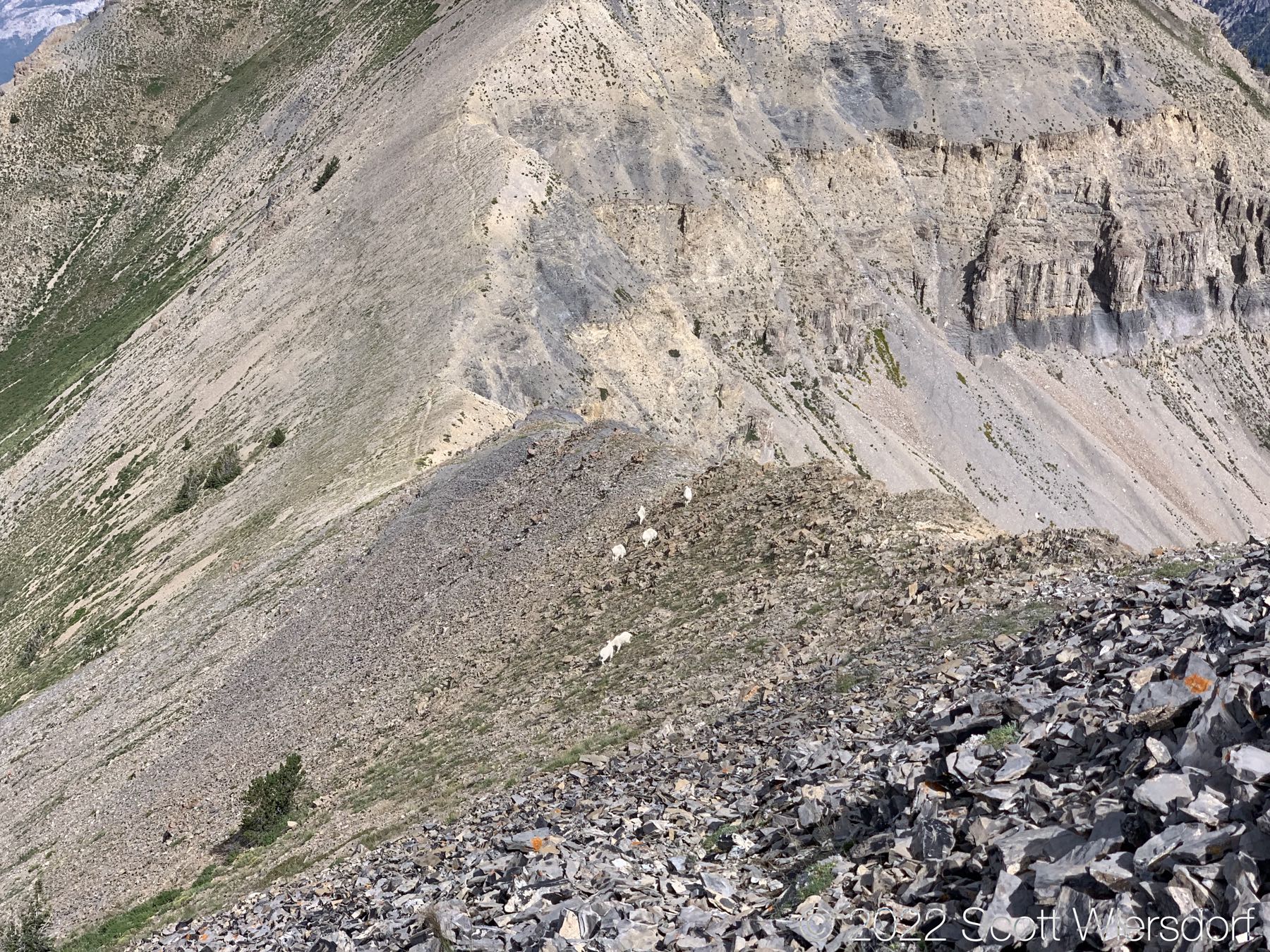
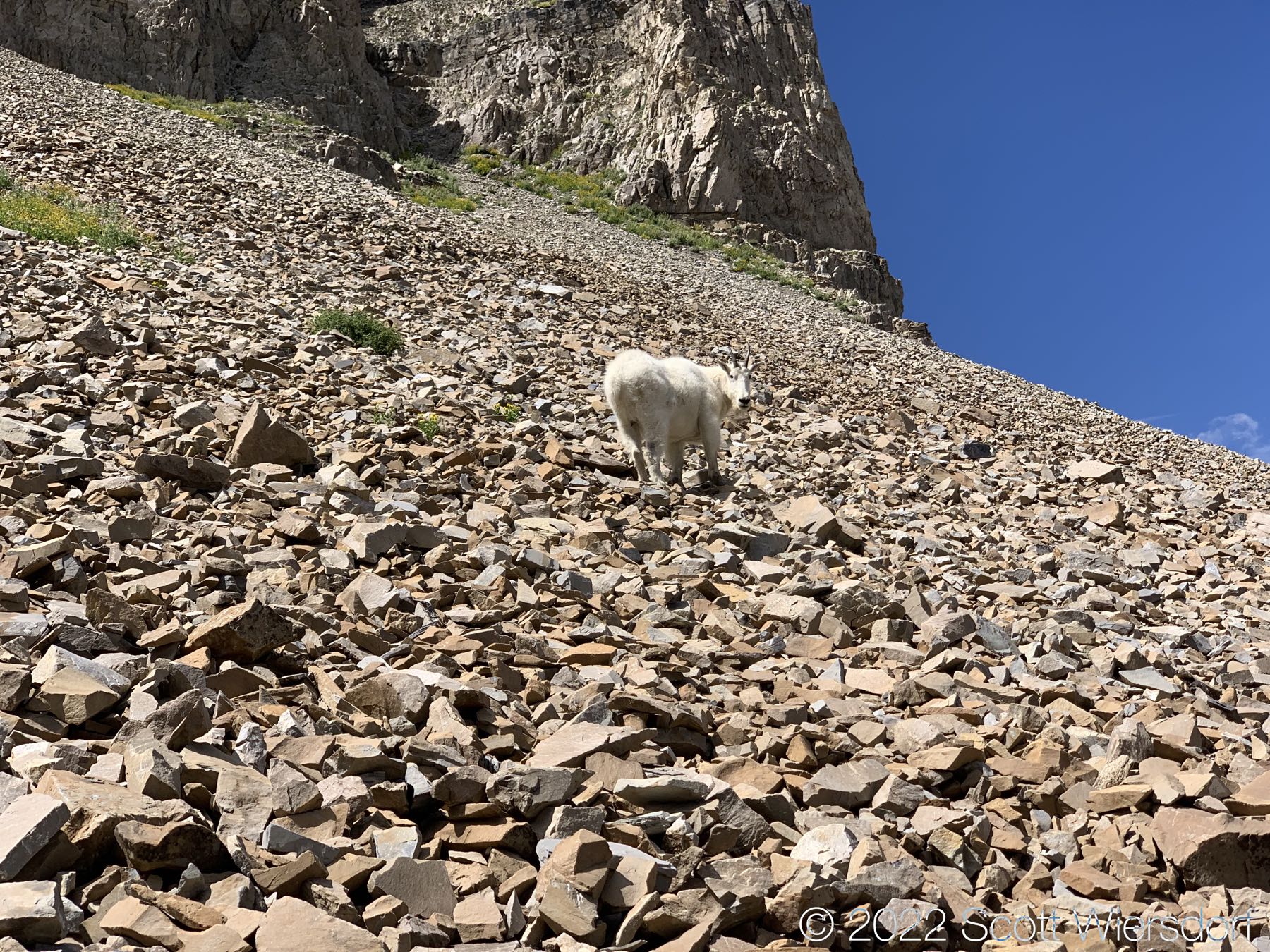
Enjoy some mountain goats:

They don’t seem very concerned that I’m there, or that if they slip on mostly vertical slopes they would die.

Goats. Maybe I should have been more frightened of them.
They seem nice and fluffy
Pika Cirque
Goats don’t care about your cliffs
View of Mahogany Mountain
View of Big Baldy (left), Battle Creek, Chris Flat, and Grove Creek
Final push to the summit
Uncertain if USPS services this box anymore
Grunge Couloir
The northern end of Timpanogos ridge (not the highest point, but hard to get to)
View of Mahogany Mountain
View of Grunge Couloir
Returning back to North Timpanogos

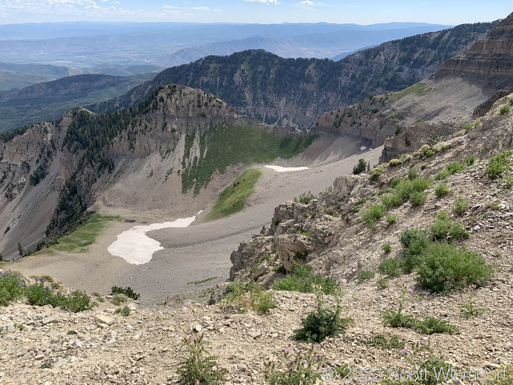
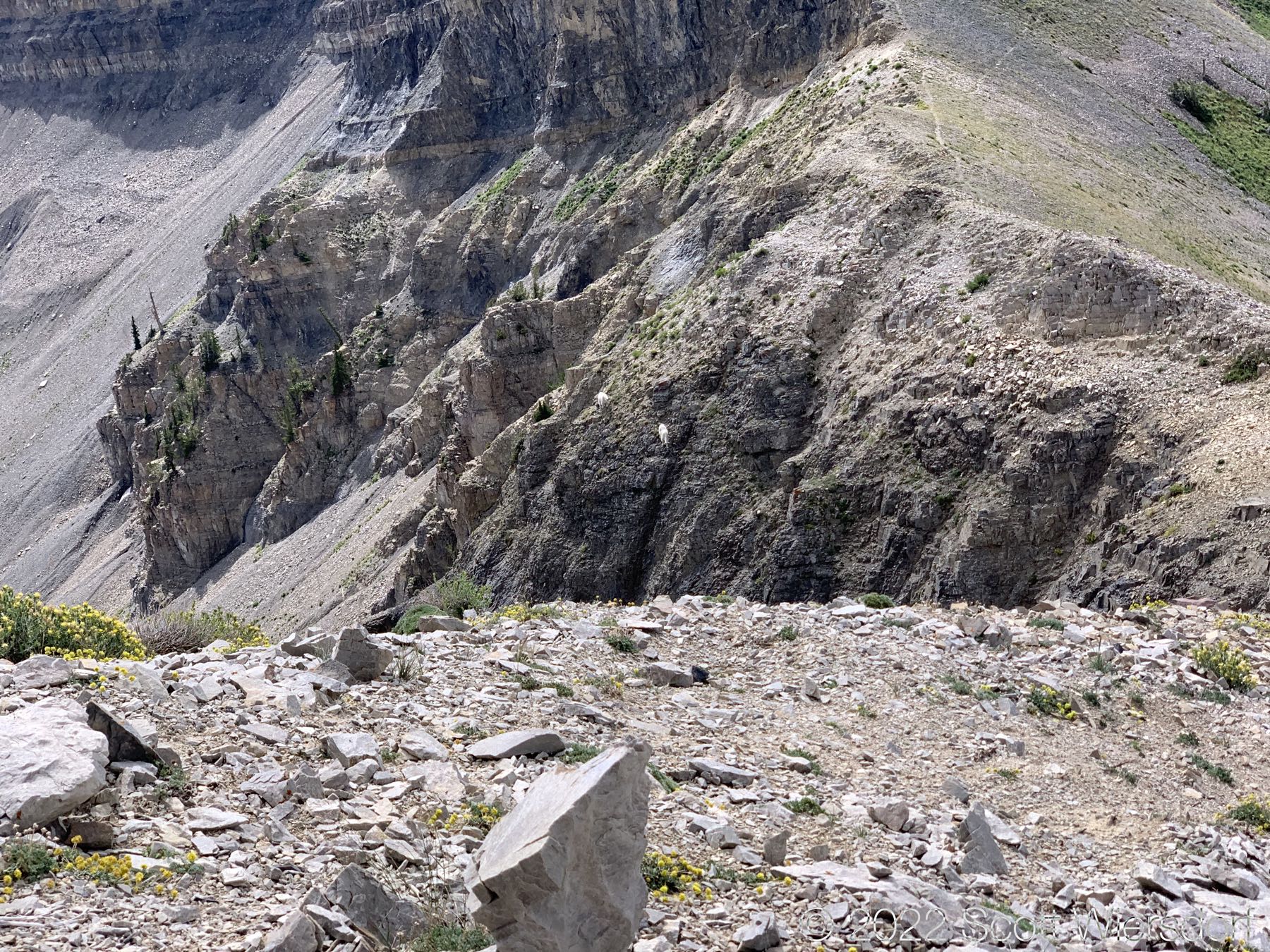
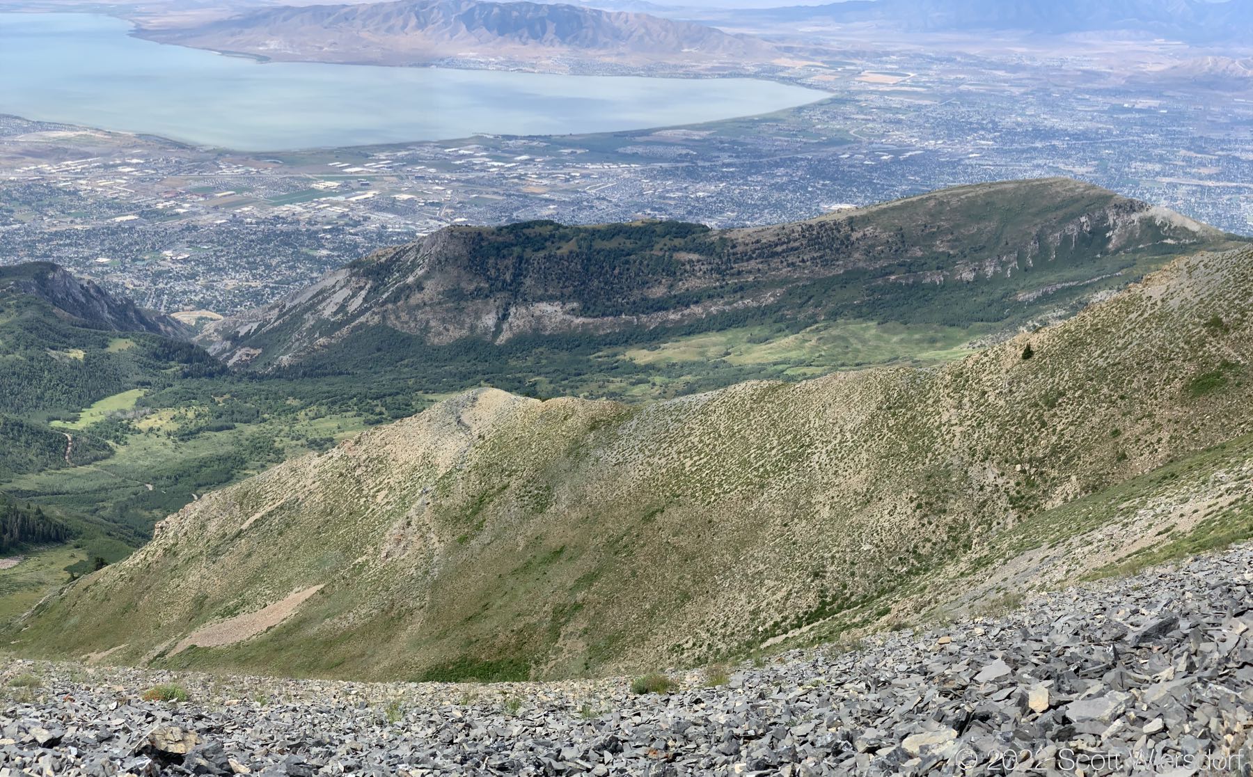
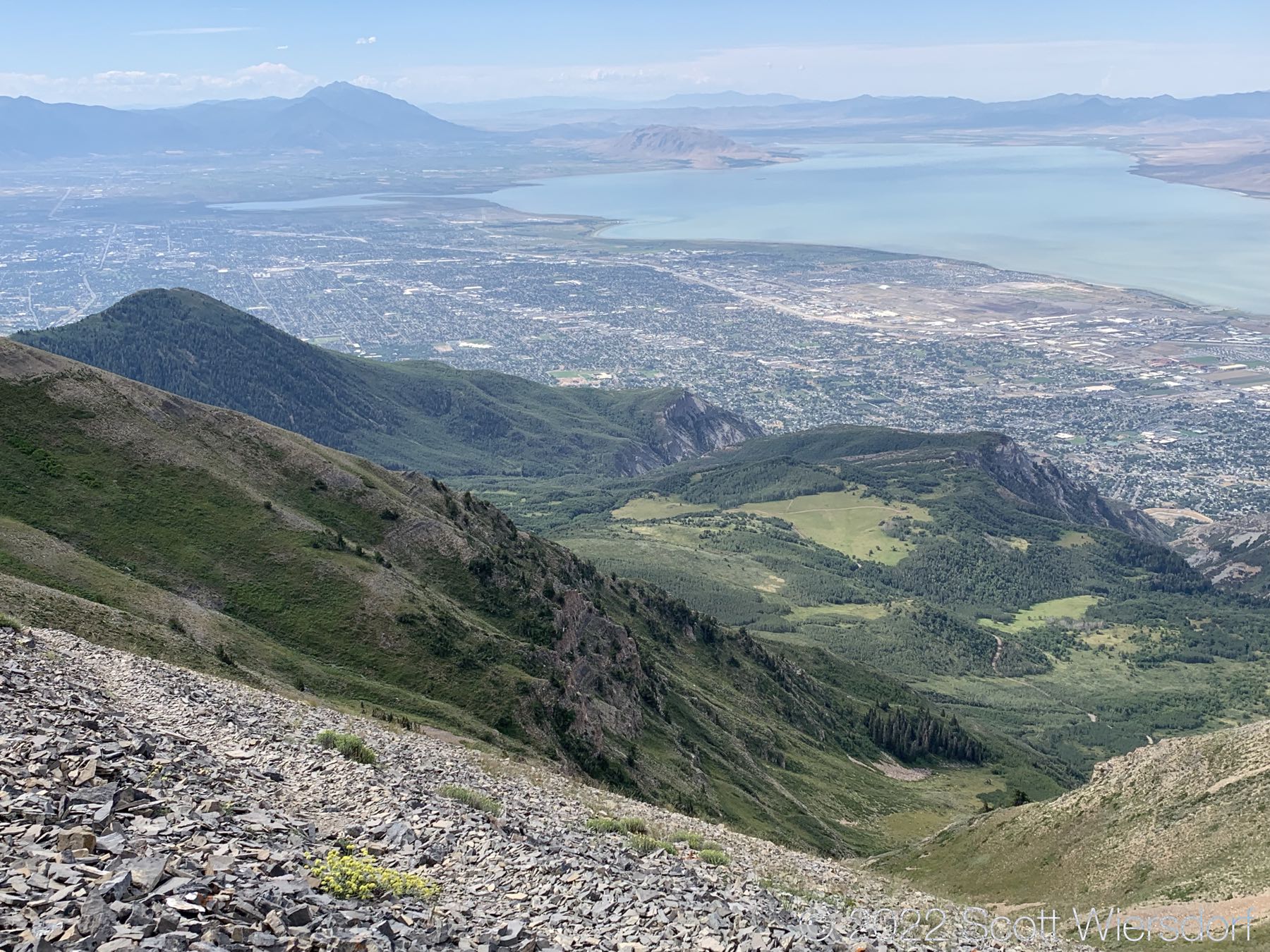
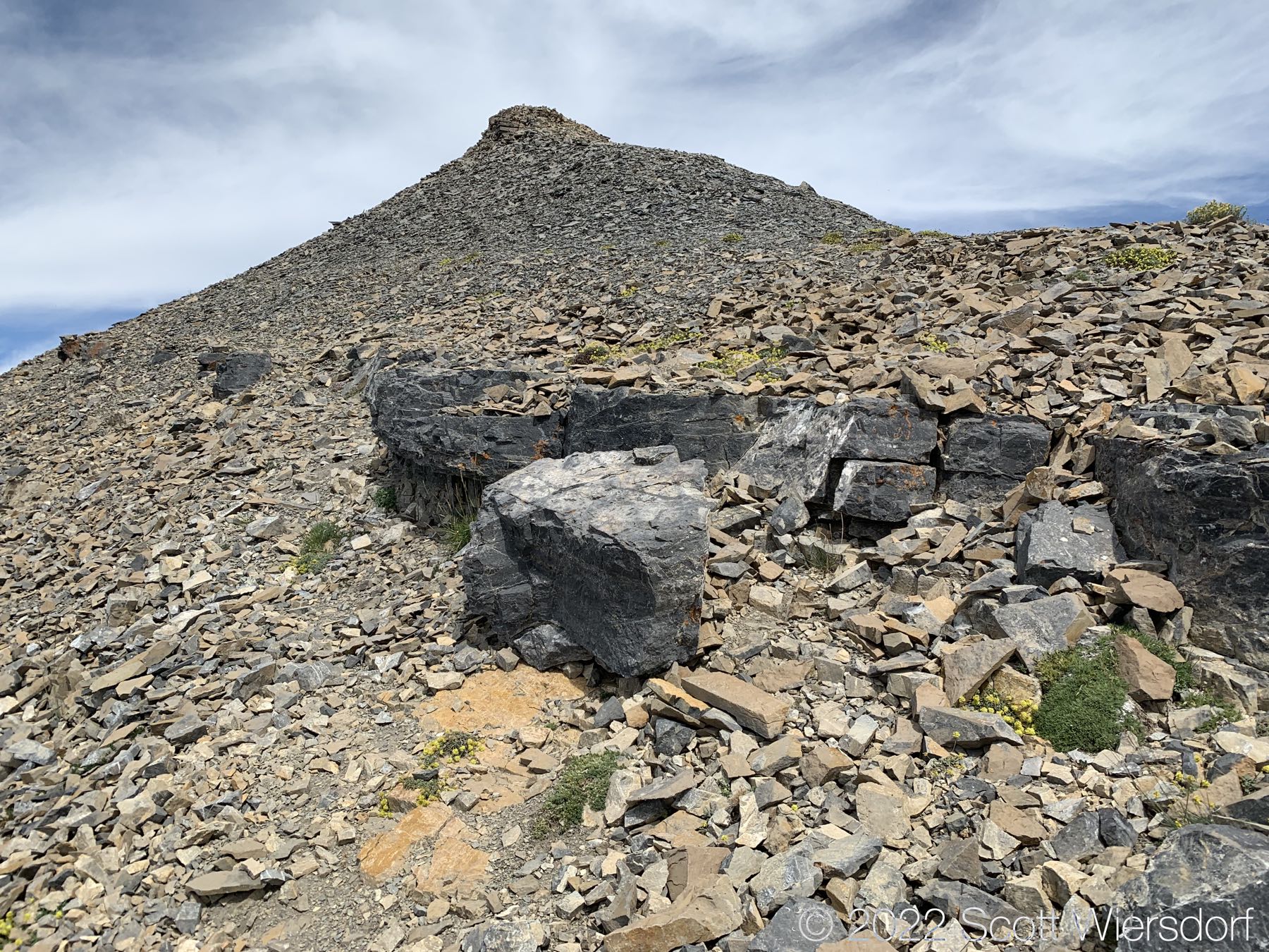
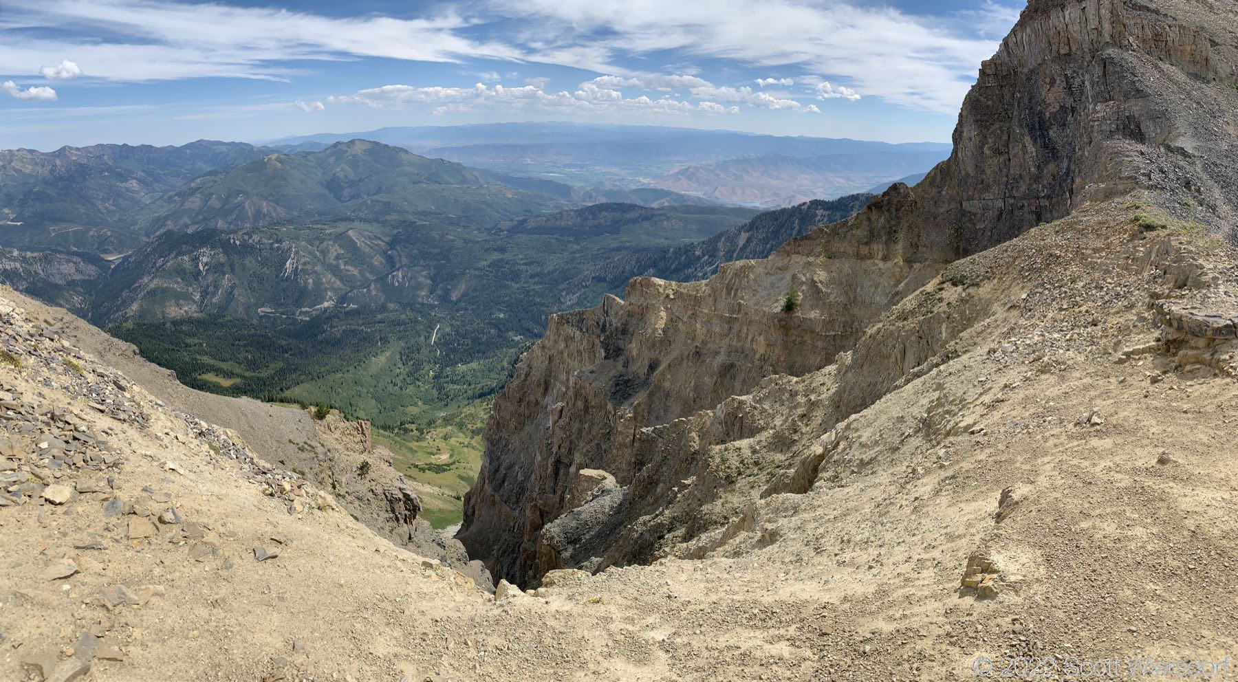
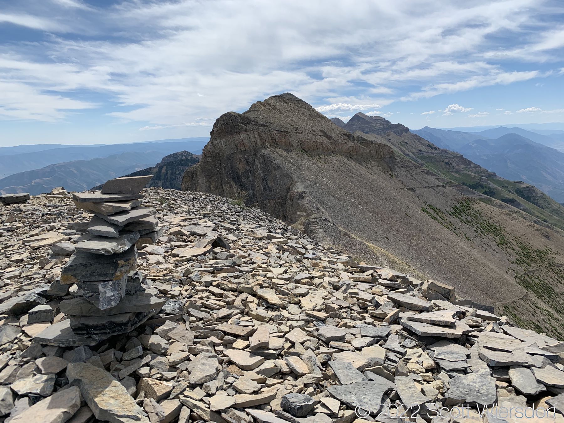
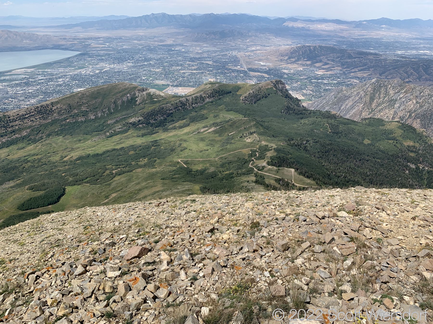
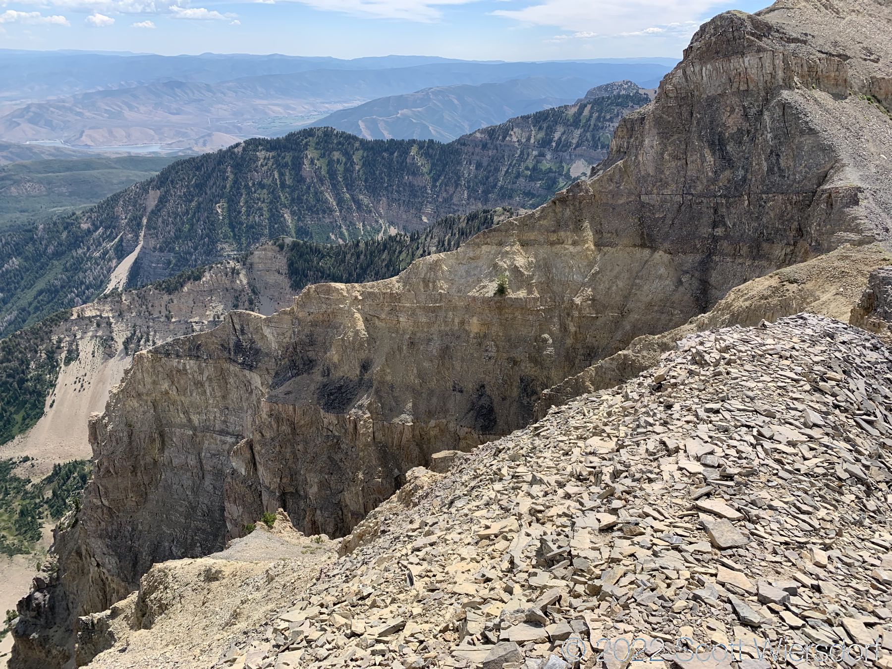
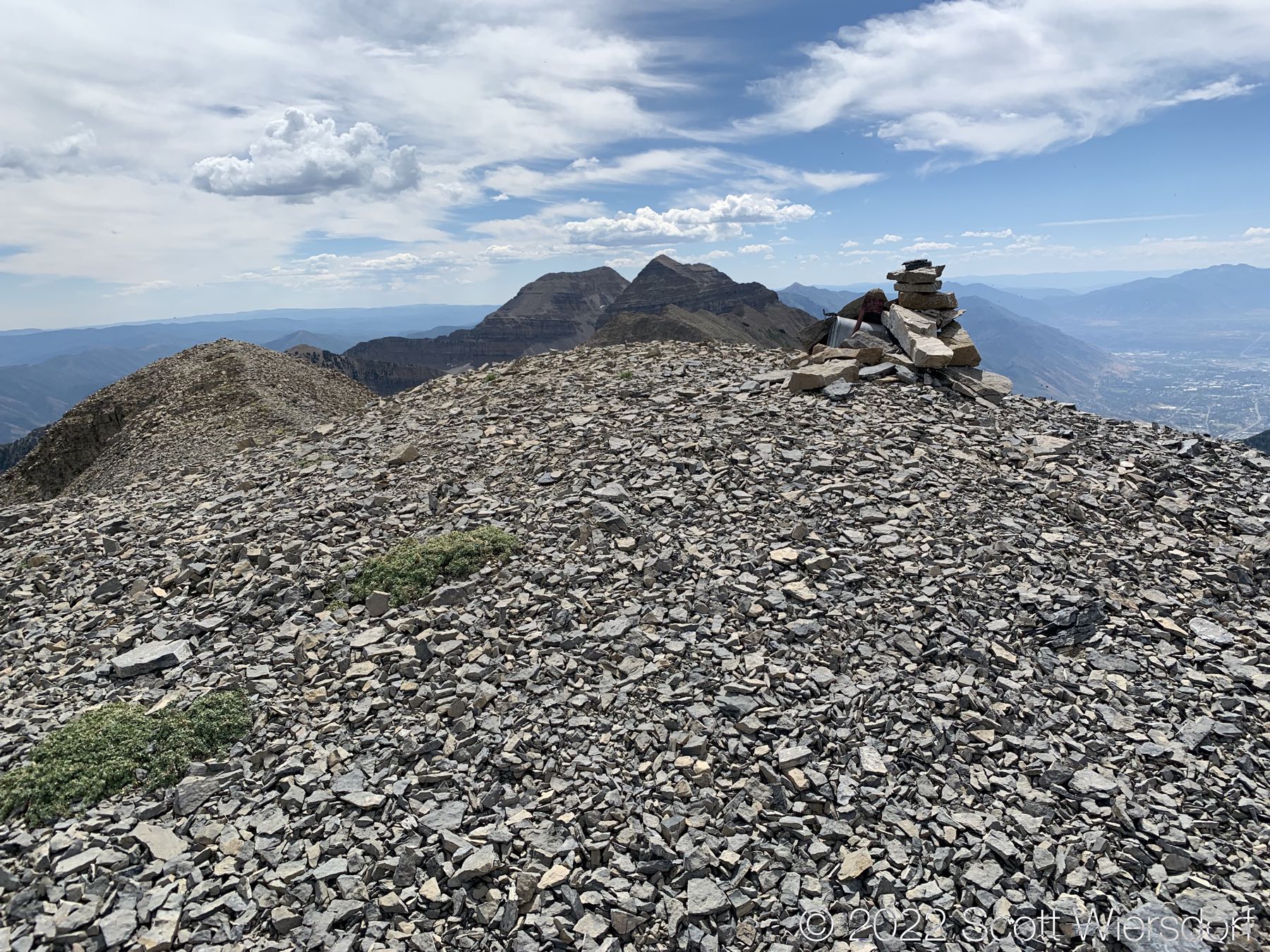
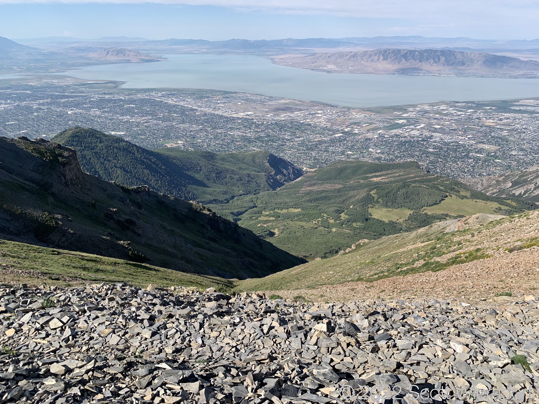
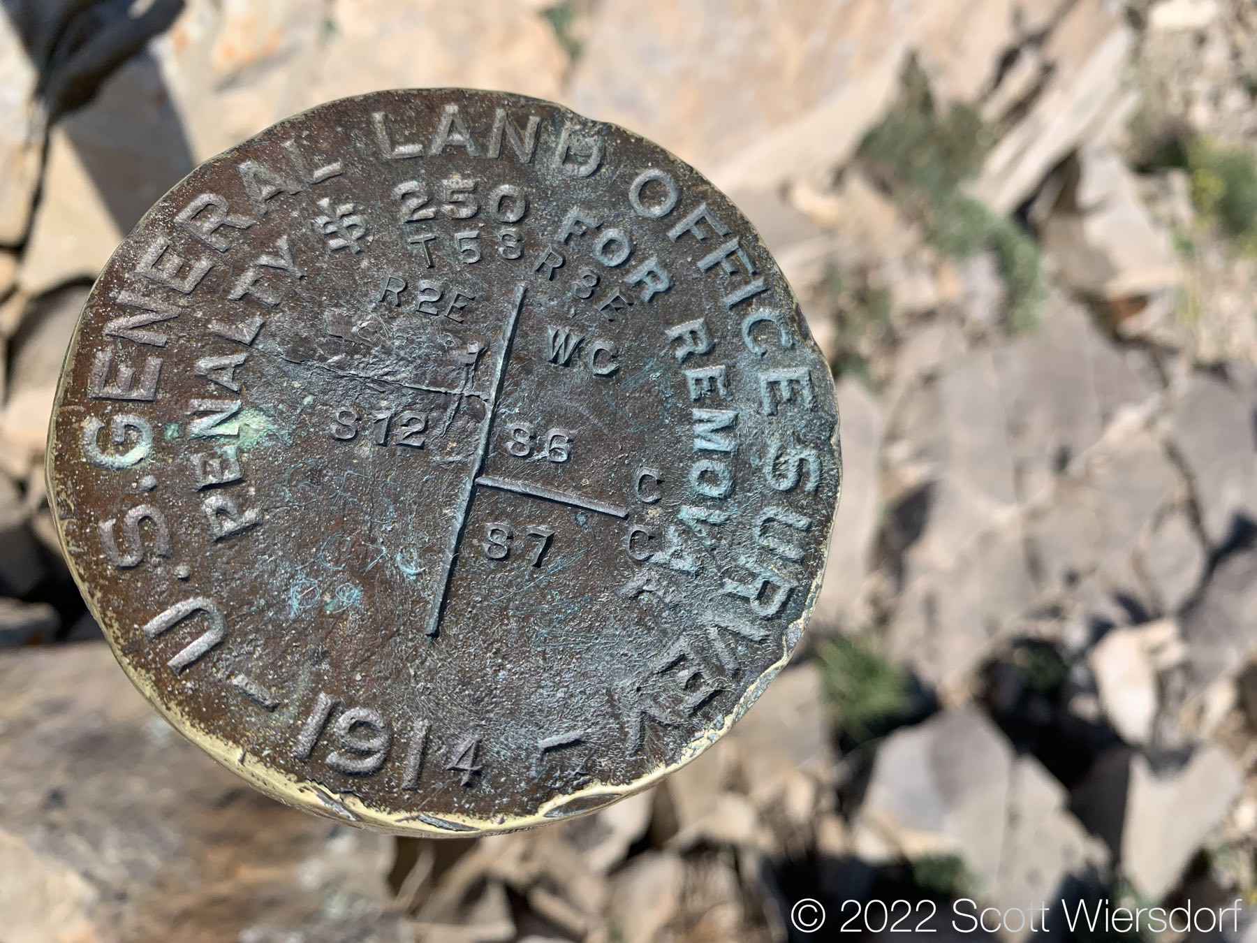
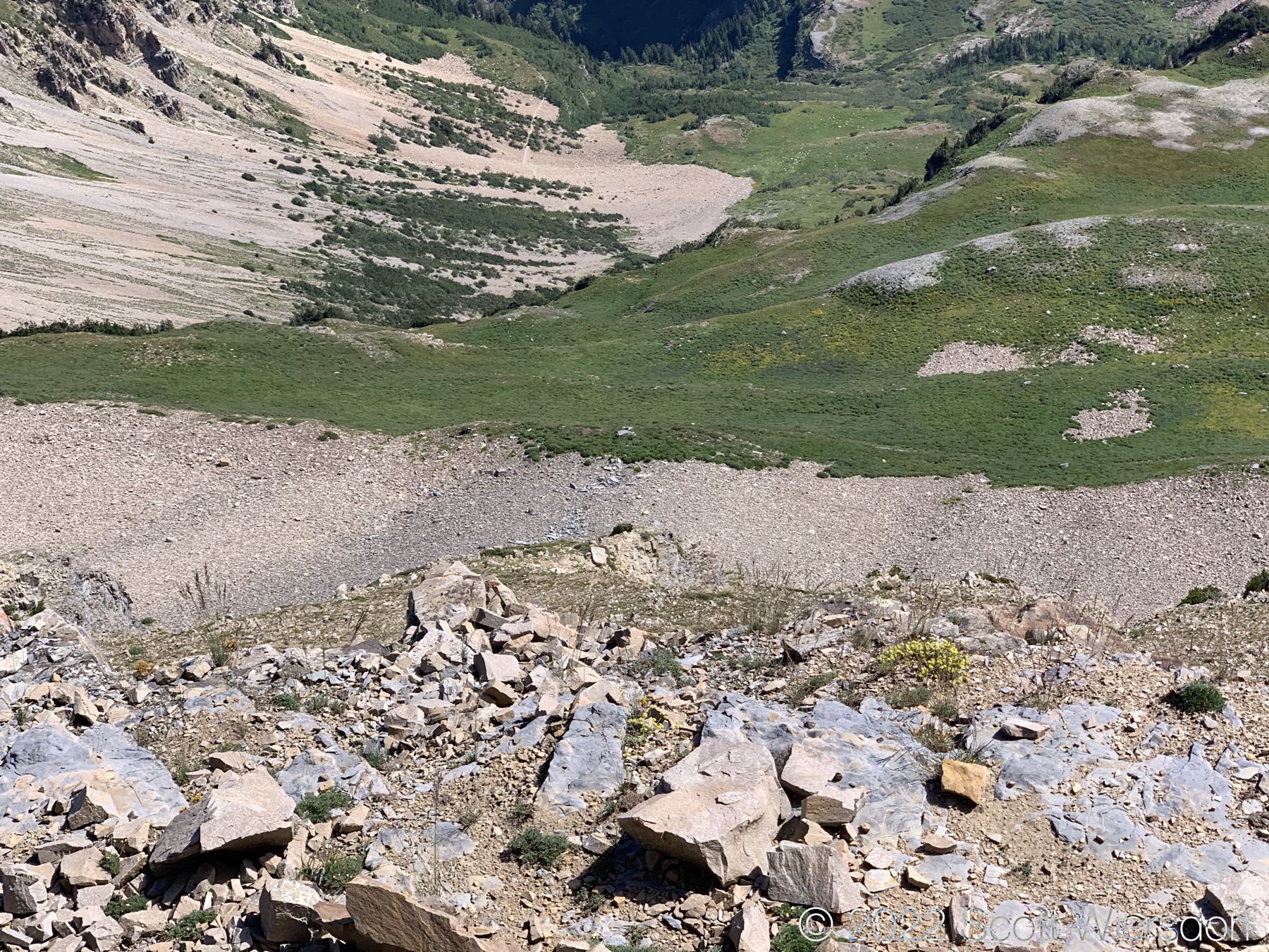
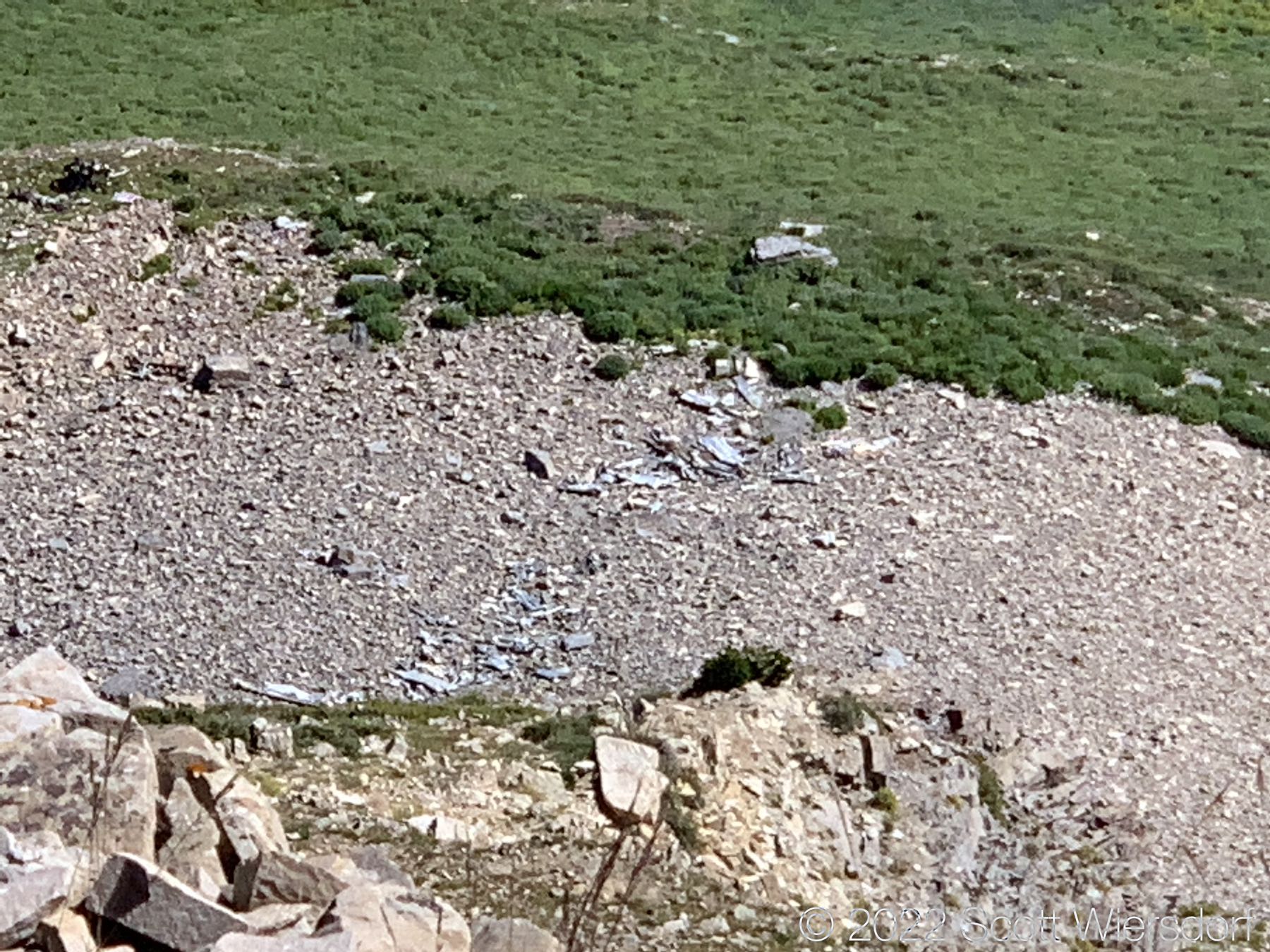
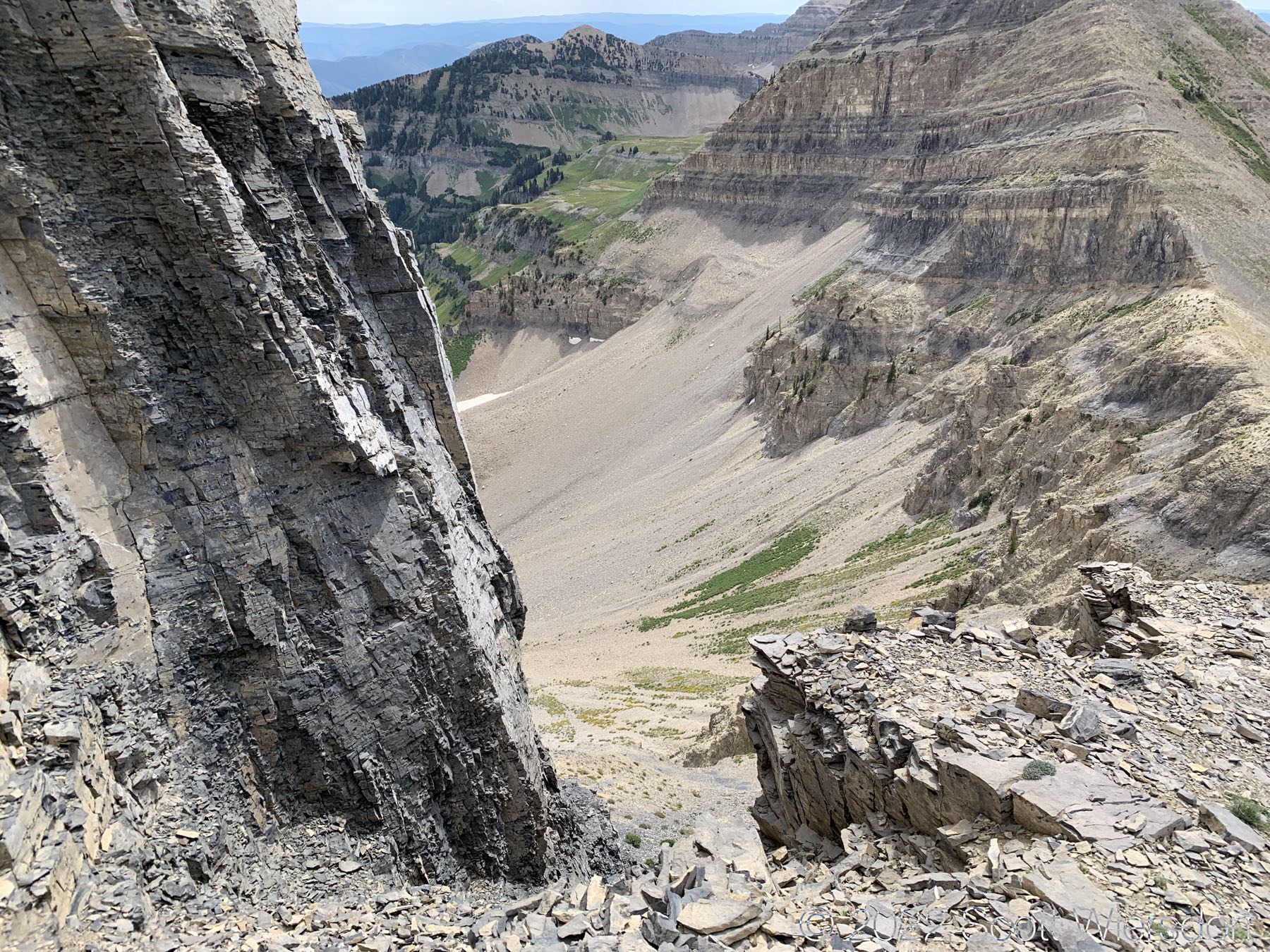
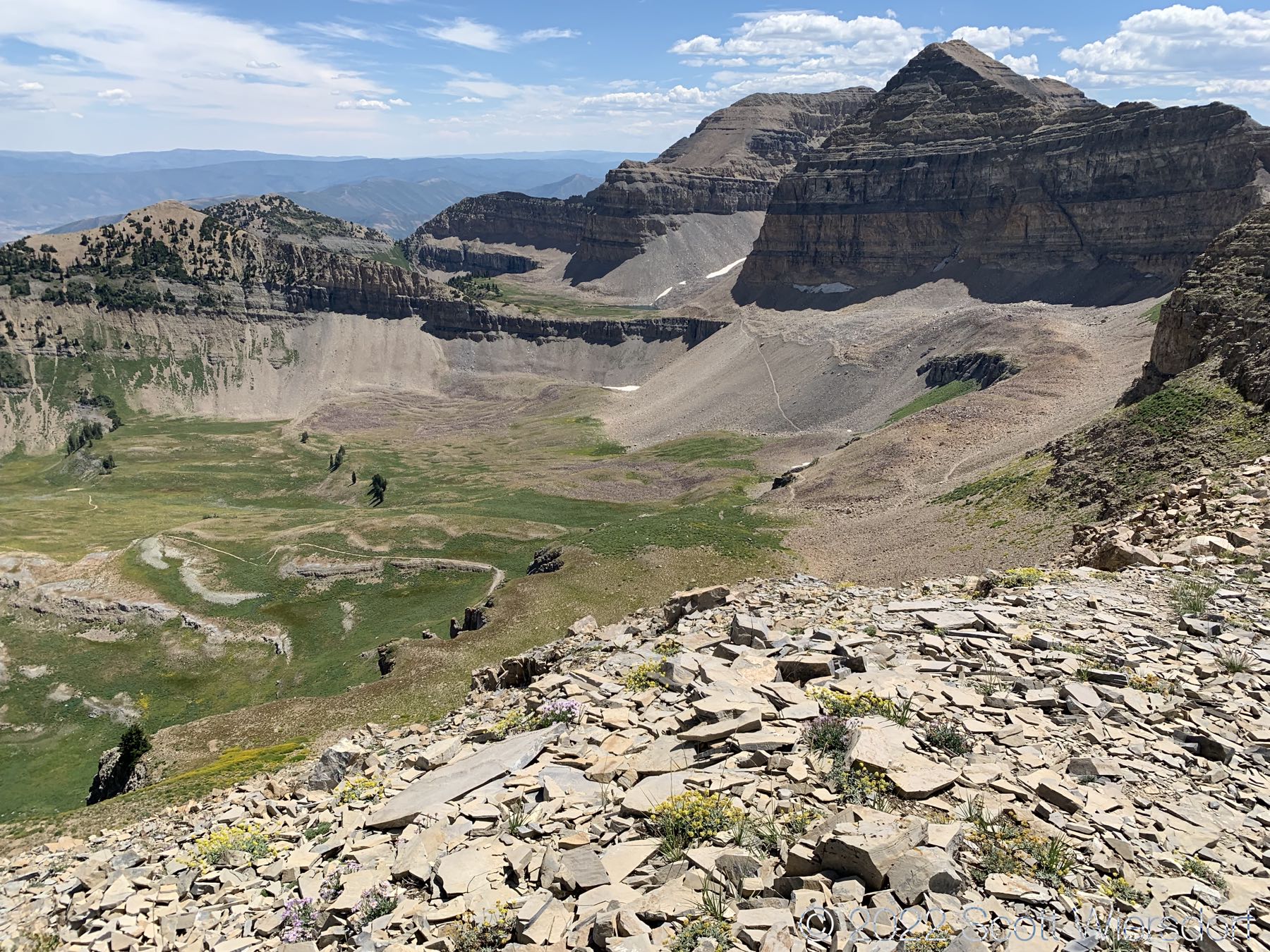
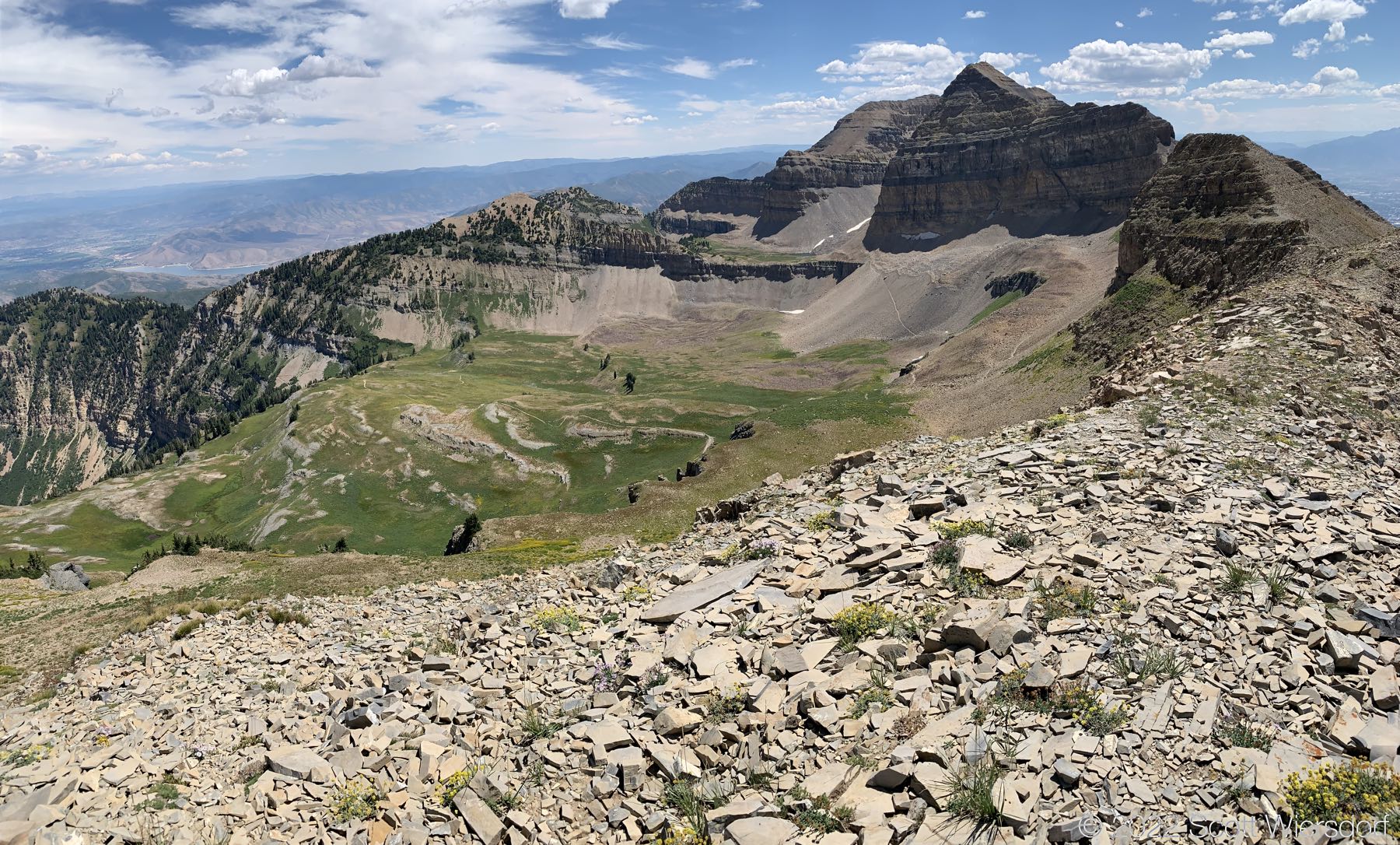
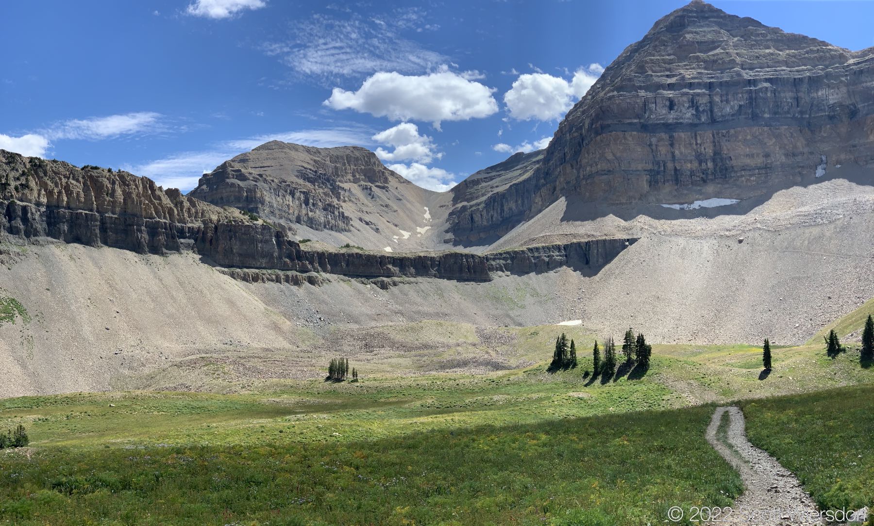
Some of the views from the peak.

In this clip I’m returning from the northern edge of the mountain (as far as I felt comfortable checking out) to see if I could find a route down from this end. I didn’t investigate thoroughly, but I suspect if there is a route it would be somewhat technical.

Intimidating cliff, but there’s an easy way around it
Shortcut into Timpanogos Basin. Not recommended.
It me
Nature makes better rock gardens than my neighbor
View of the trails in Timpanogos Basin
A little wider view of Timpanogos Basin
Trail to Emerald Lake visible through the gap
View of Timpanogos Basin
ohai
The snowfield above Emerald Lake looking pretty thin this year
Some unknown structure. Would love to know the history of this.
Afternoon shade on the lower trail
Gotcha
Route map to North Timpanogos 2022

Last modified on 2022-08-18