the usual
inconsistent at best
Hiking Patsy Marley Peak, Mount Wolverine, and Mount Tuscarora 2022
Hiking Patsy Marley Peak, Mount Wolverine, and Mount Tuscarora (Alta side)

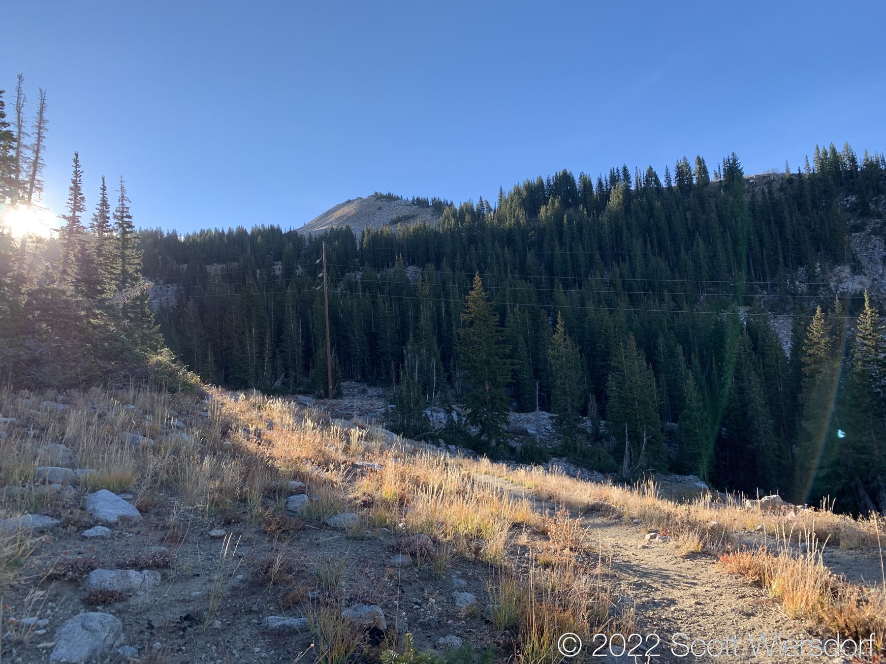
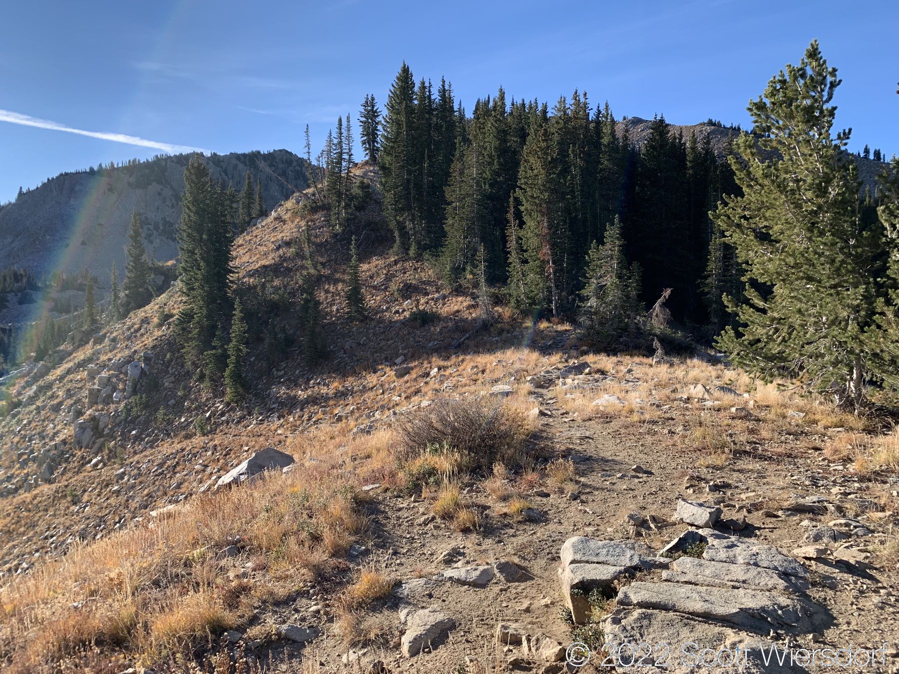
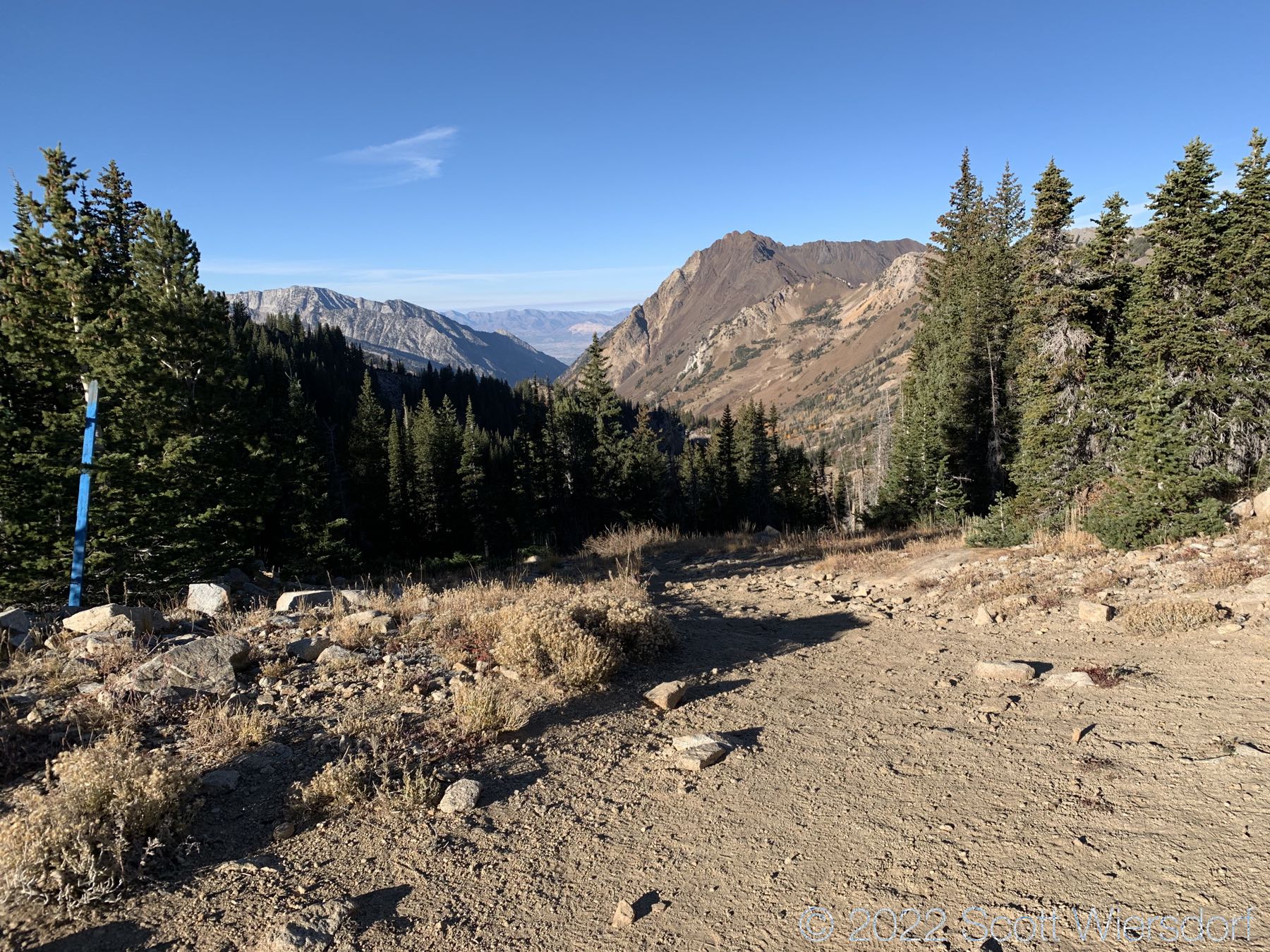
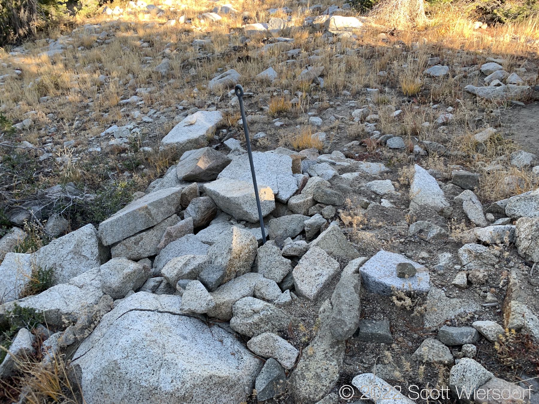
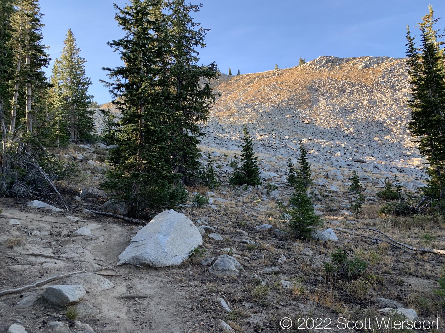
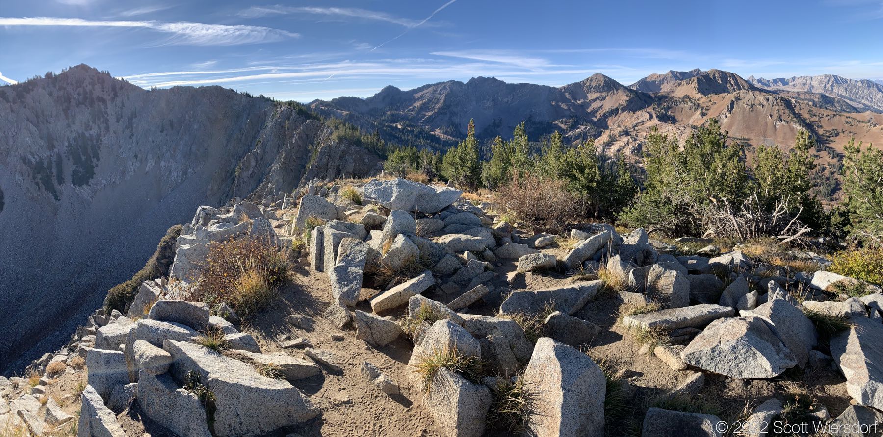
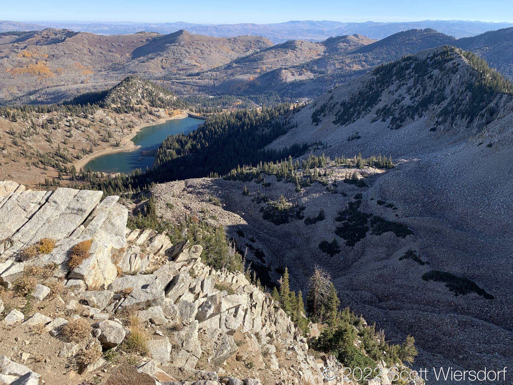
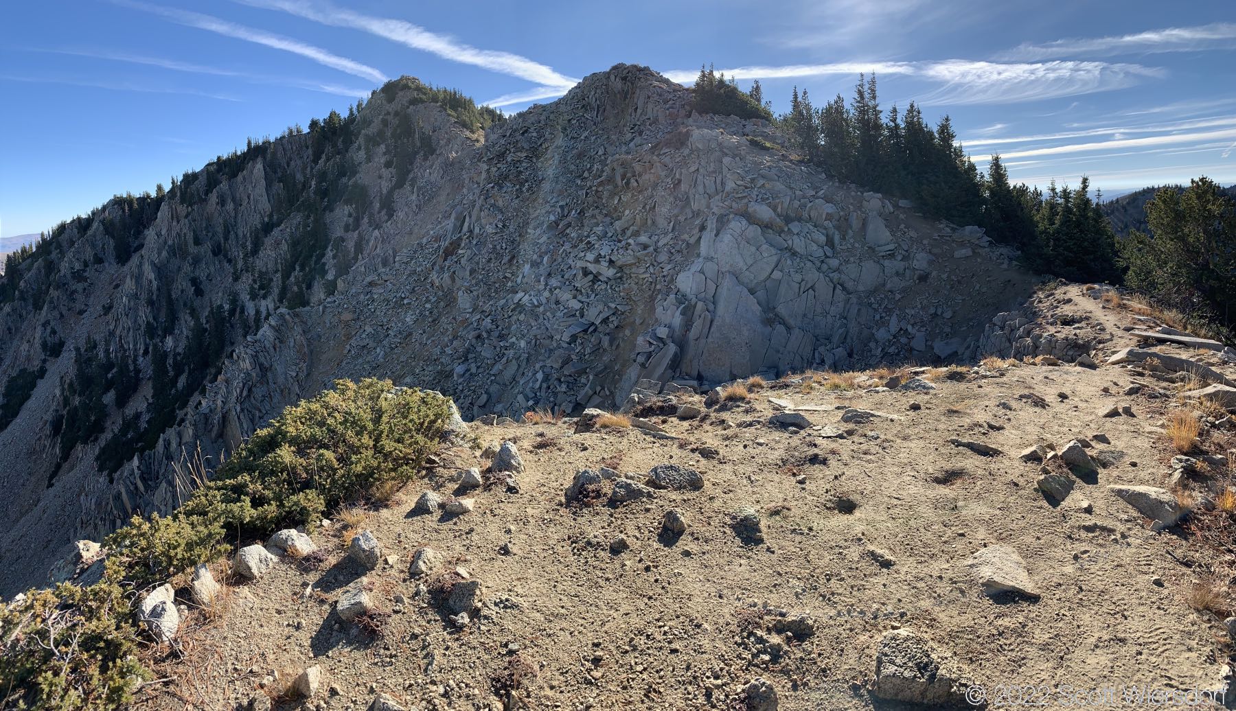
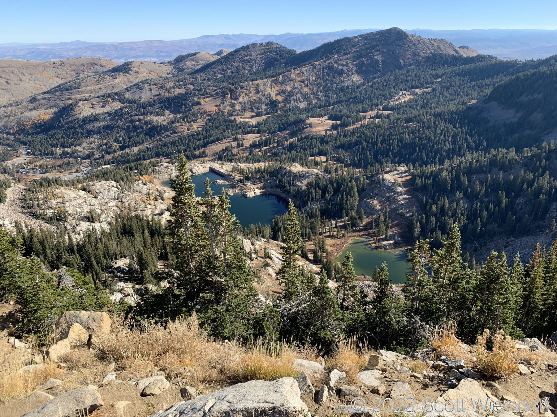
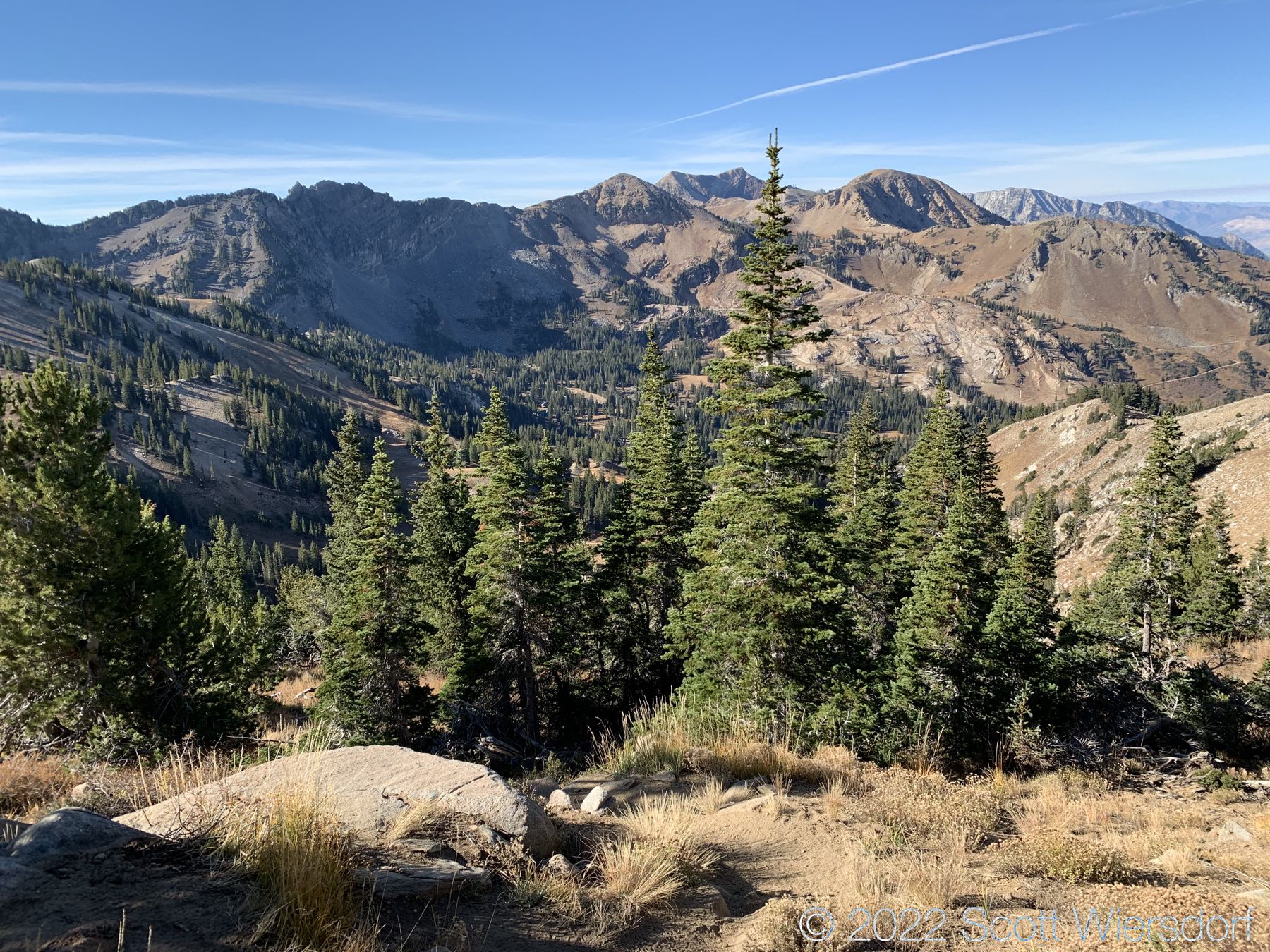
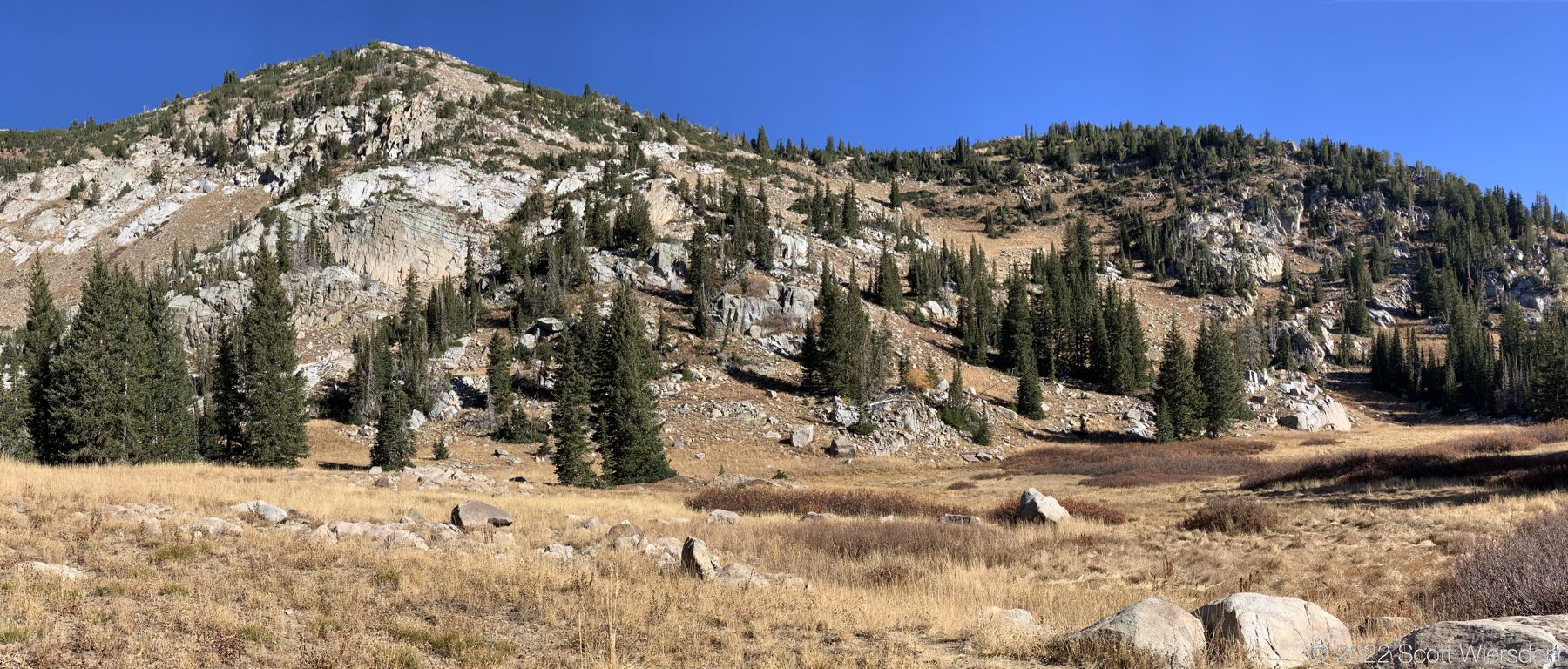
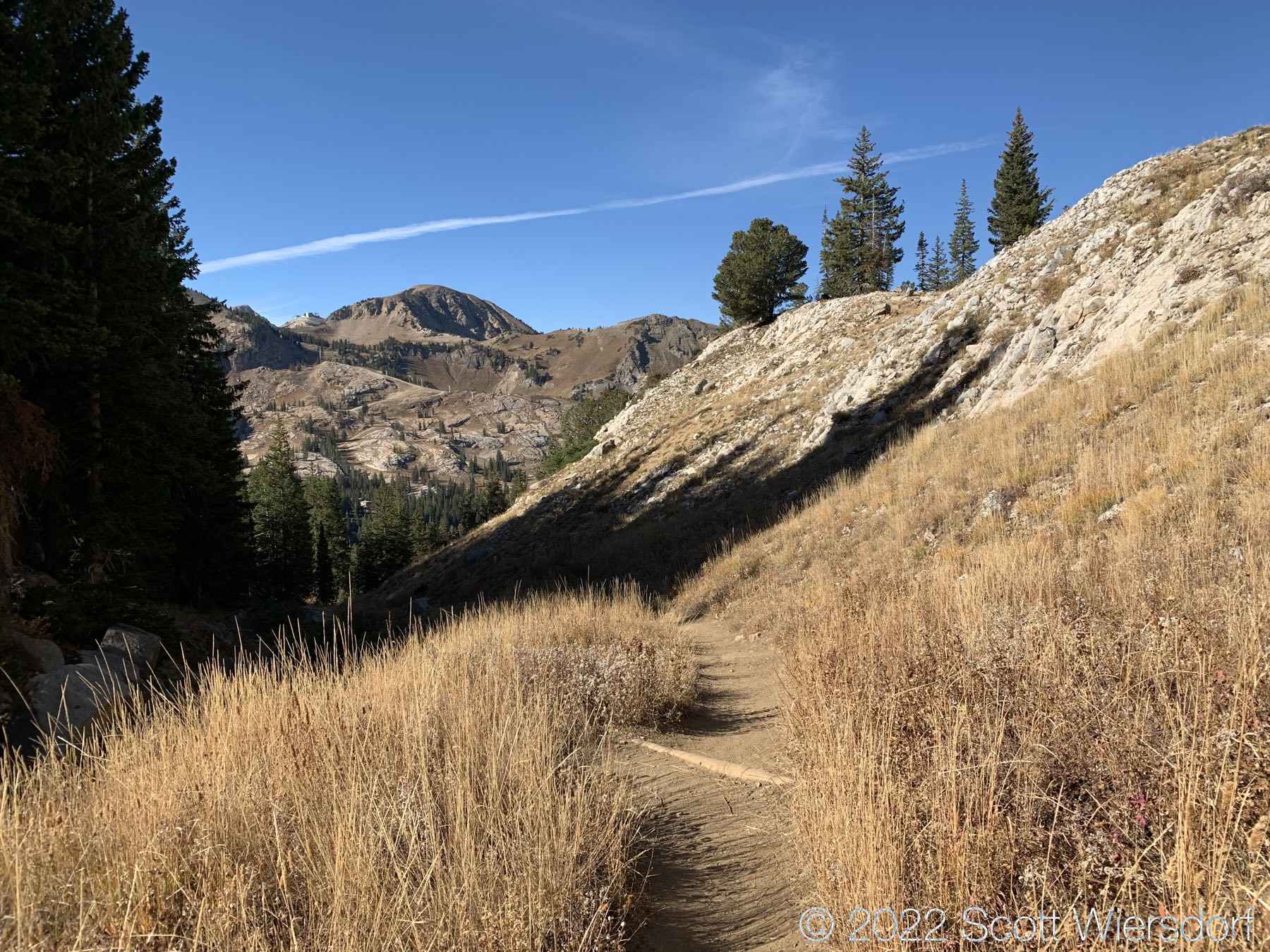
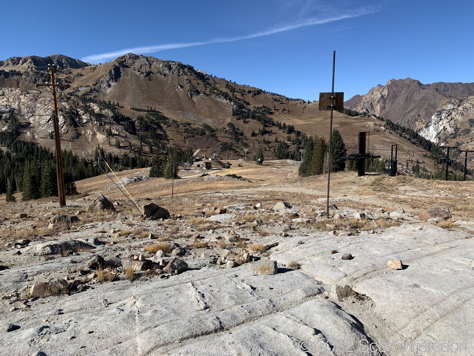
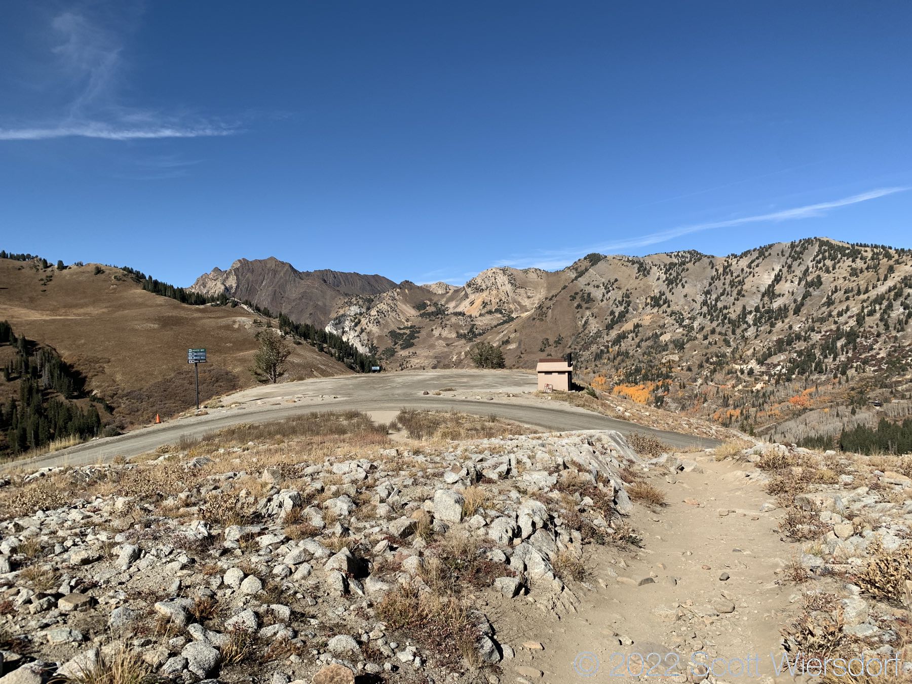
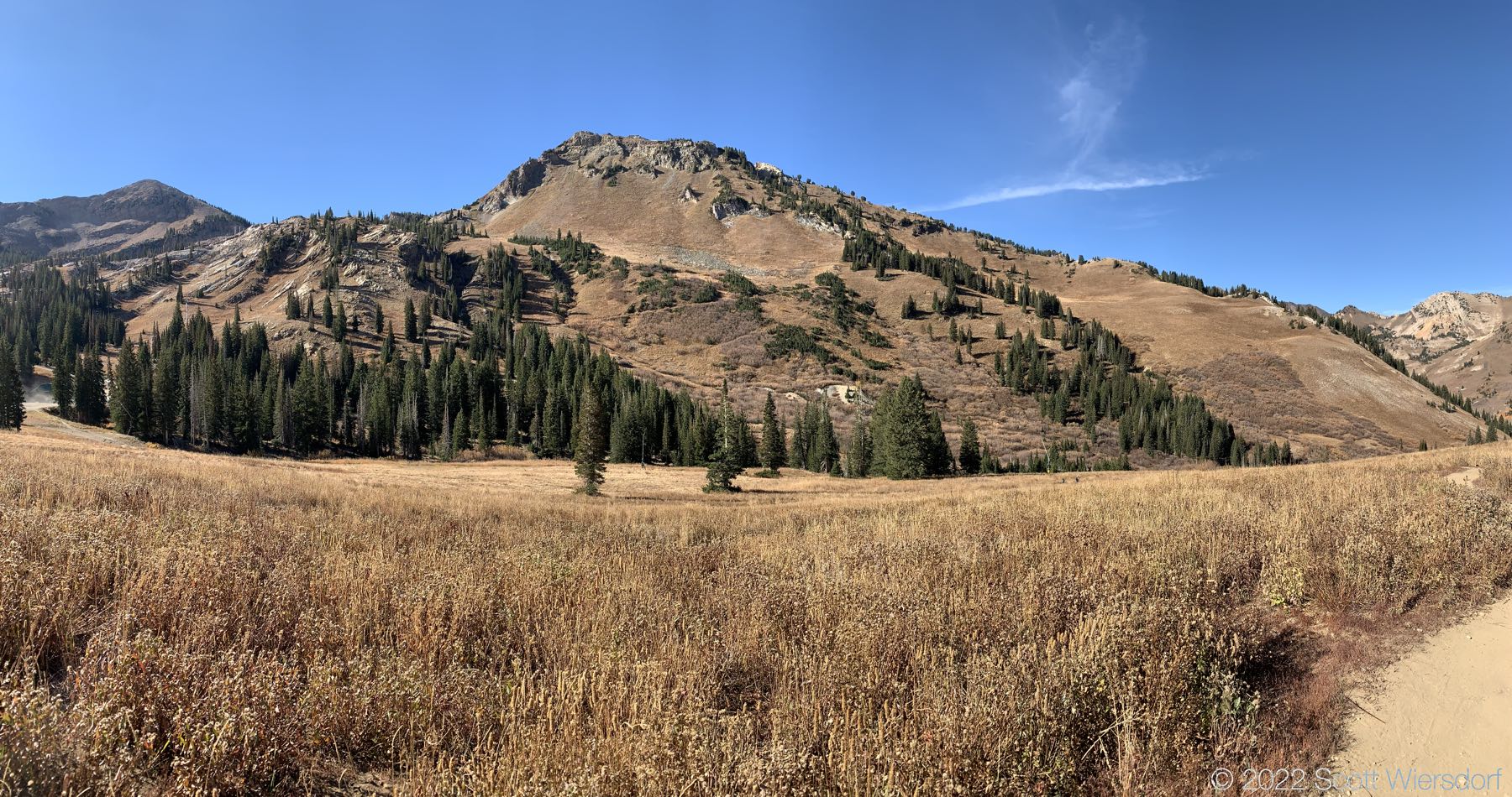
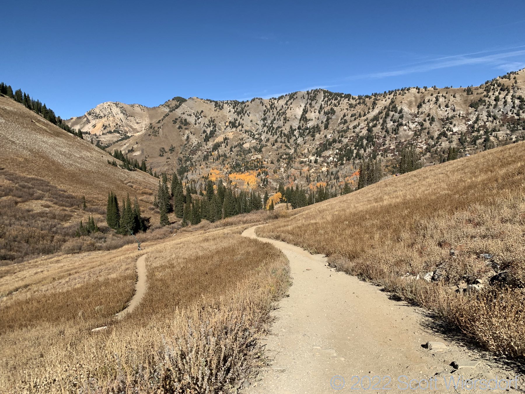
This hike has only been on my list for a year or two when I noticed a possible route while hiking other peaks of Alta. I decided to go clockwise to get my elevation gain up front, so the approach is the same as the Twin Lakes Pass hike. Over 60% (about 1,268 feet) of the 2,030 feet of total elevation gain occurs in the first 1.7 miles from the road to Twin Lakes Pass. Patsy Marley is another 520 feet gain or so and less than half a mile from Twin Lakes Pass. Mount Wolverine is less than half a mile from Patsy Marley and just over 235 feet gain from there. Mount Tuscarora feels anticlimactic coming off the other two peaks. I would say the most challenging part of the hike is the final push up to Patsy Marley from the ridge, with about 200 feet elevation gain in about 500 feet horizontal (close to 40% slope). The ridge is great though, with lots of cubic rocks providing solid footing.

Route profile of Patsy Marley Peak, Mount Wolverine, and Mount Tuscarora

I usually take too much water on my hikes, but on this hike I brought (and drank) about 3 liters. I probably could have used another half-liter, but 3 liters was about right for the pace and weather (clear, mid-40°F)

Hike stats: 2,210 feet of elevation gain (multiple peaks). Round trip: 6.48 miles. Total hike time: 3 hours, 6 minutes.

Aspens were lit
Sunrise over Patsy Marley Peak
Looking over Twin Lakes from Twin Lakes Pass
Mount Wolverine (left) and Patsy Marley Peak (not visible behind trees)
Little Cottonwood Canyon and Mount Superior from Twin Lakes Pass
I don’t know what this is, but it’s just off-trail
Patsy Marley Peak behind the trees. The section just past these trees is the final ascent to the peak and is the most challenging part of the hike.
Mount Wolverine looks great from Patsy Marley Peak
I climbed Patsy Marley Peak and all I got was a lousy pile of rocks at the top.
Looking down into Twin Lakes.
The trail on the ridgeline between Patsy Marley and Wolverine is pretty good, though the trail forks off in a few places. Most of the trail is on the Alta side with a couple of obvious exceptions where the trail veers to the Brighton side.
A look down Wolverine Cirque
Looking back to Patsy Marley Peak and Wolverine Cirque. Little Cottonwood Canyon and Mount Superior in the back.

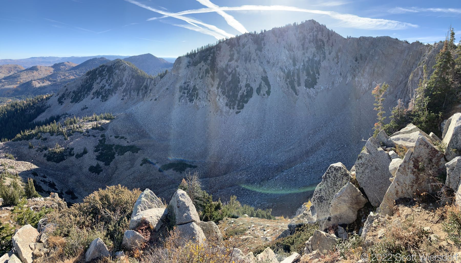
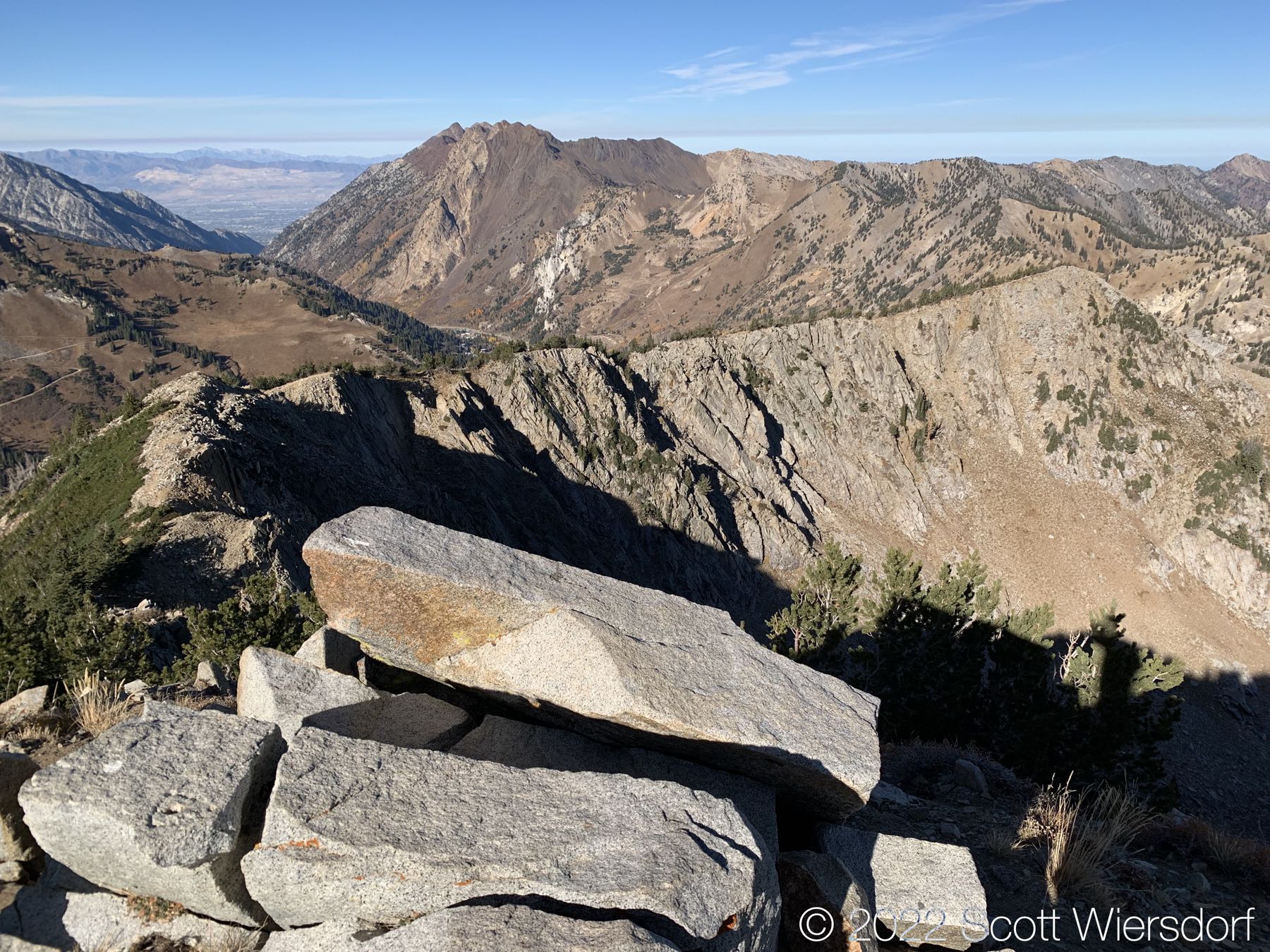
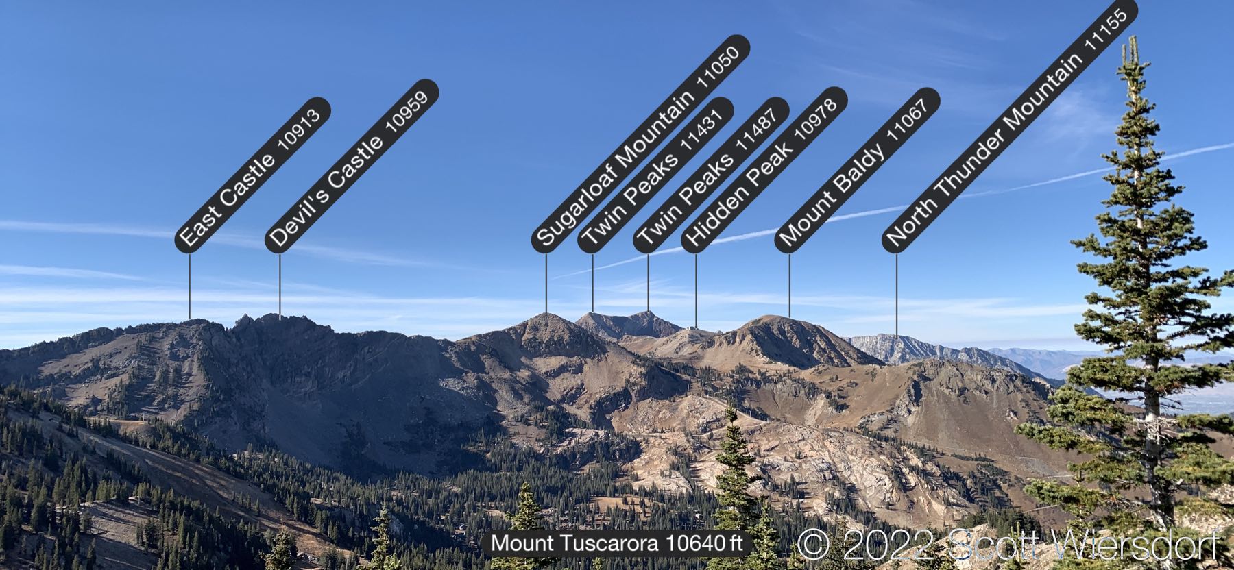
Here’s a panorama view from the summit of Mount Wolverine:

I could have shaved off a minute off my time if I hadn’t stopped to take this video.

Views of Lakes Mary and Martha in Brighton Ski Area
Views of Alta Ski Area from Mount Tuscarora
Peaks of Alta
View of Mount Wolverine (left) and Mount Tuscarora (right—not prominent) from below Catherine Pass
View of Alta’s Sugarloaf area, as well as Backside and Mount Baldy
At about 9,500 feet of elevation at the top of the Albion lift looking toward the top of the new Sunnyside lift and Greeley Bowl.
The Summer Road was closed for the season.
View of Sugarloaf (left) and Greeley area
Prime aspen time
Route map of Patsy Marley Peak, Mount Wolverine, and Mount Tuscarora

Last modified on 2022-10-20