North Timpanogos has been on my list for a few years. I was tempted to hike it the last time I climbed Bomber Peak but wasn’t sure what the ridgeline was like. I looked around and found a few blogs ( summitpost , peakbagger , stav is lost , professor on the run ) which indicate there is a route on the north east ridge. This sounded interesting to me because I thought I could then do a loop along the ridge to the main saddle, then back down to the Timpooneke trailhead.
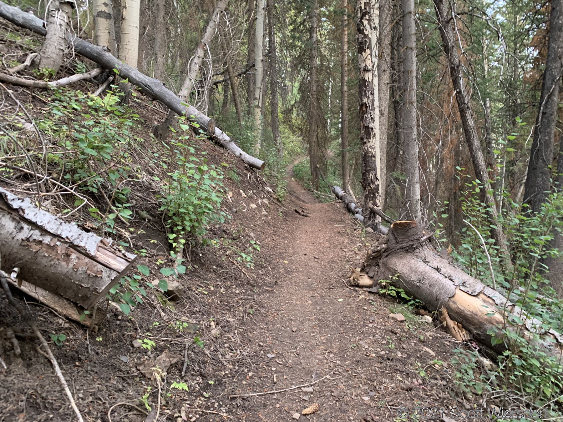
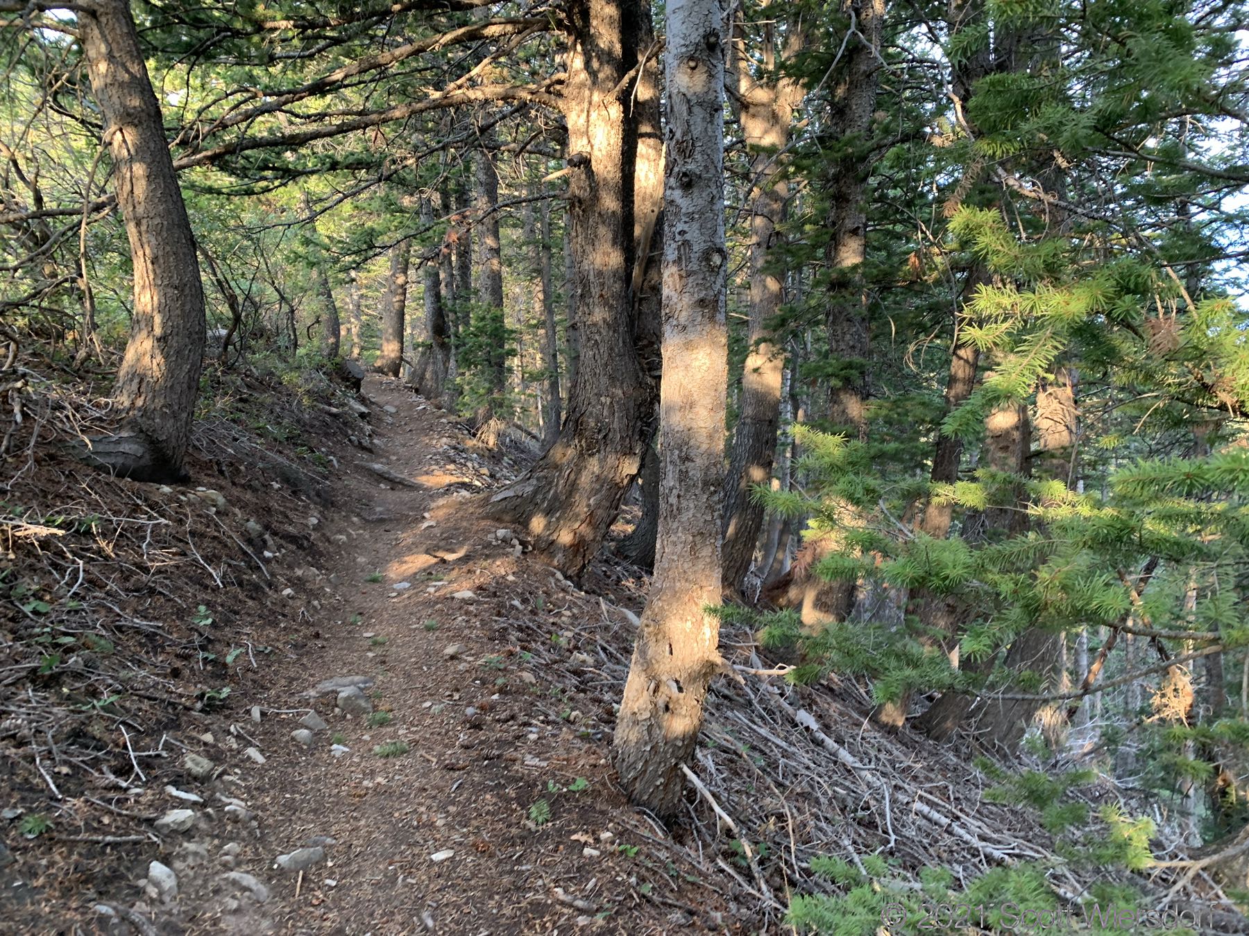
The first part of the trail (#151 Timpooneke/Chris Flat) is smooth—the rangers do a great job keeping this trail in good shape. Gentle curves and few rocks.
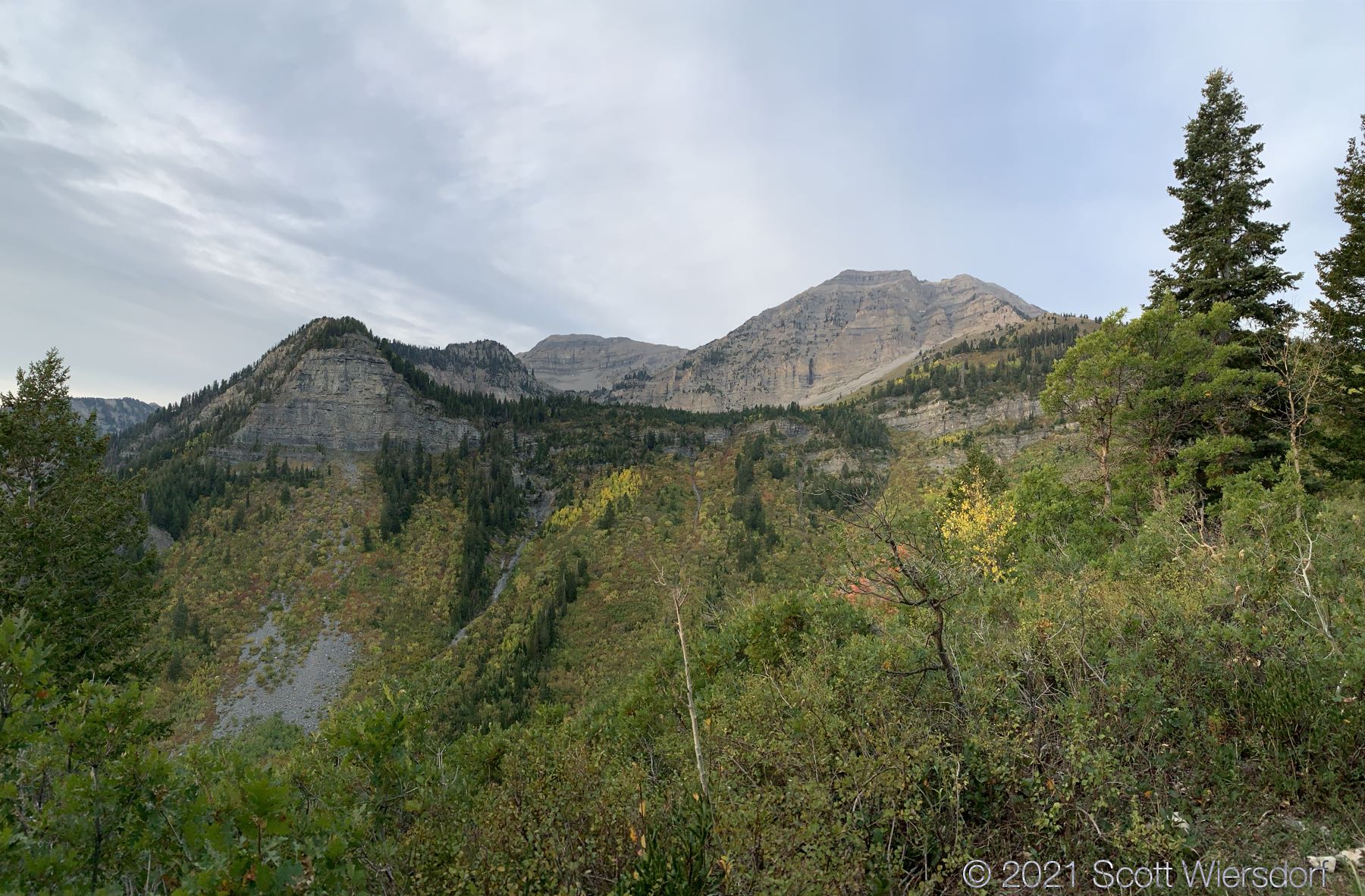
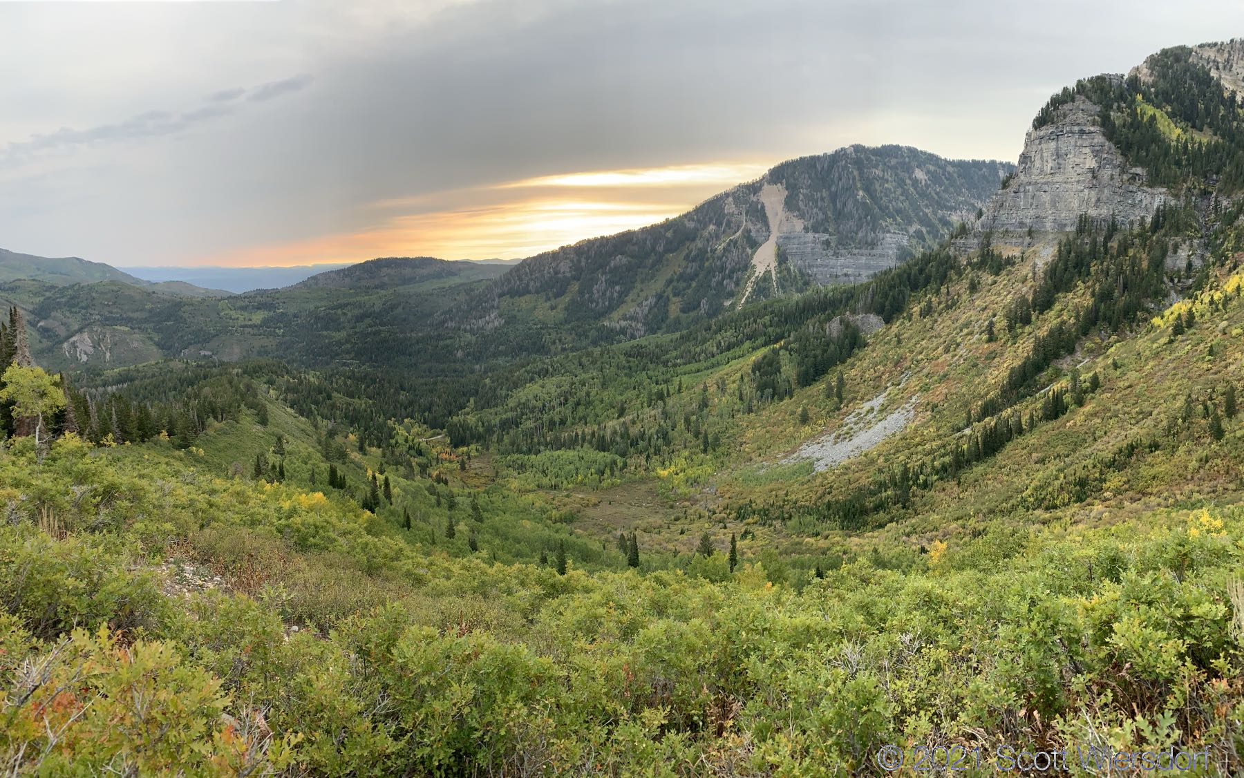
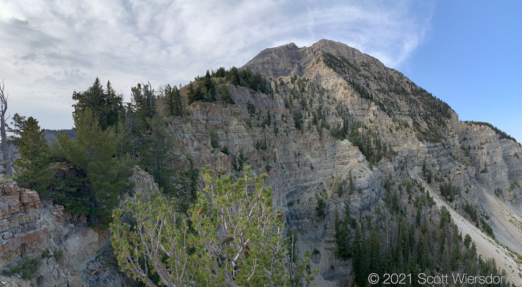
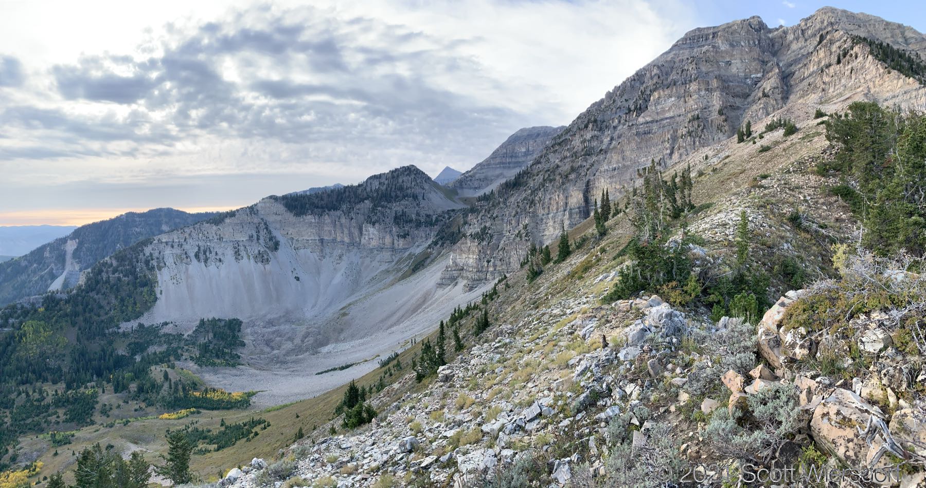
When the trail leaves the ridge, it’s time to leave the trail and stay on the ridge. I didn’t see any turnoff, in fact I missed at least 500 feet of the footpath on the ridge, but it wasn’t a big deal to find it. The view of North Timpanogos was great from this angle:
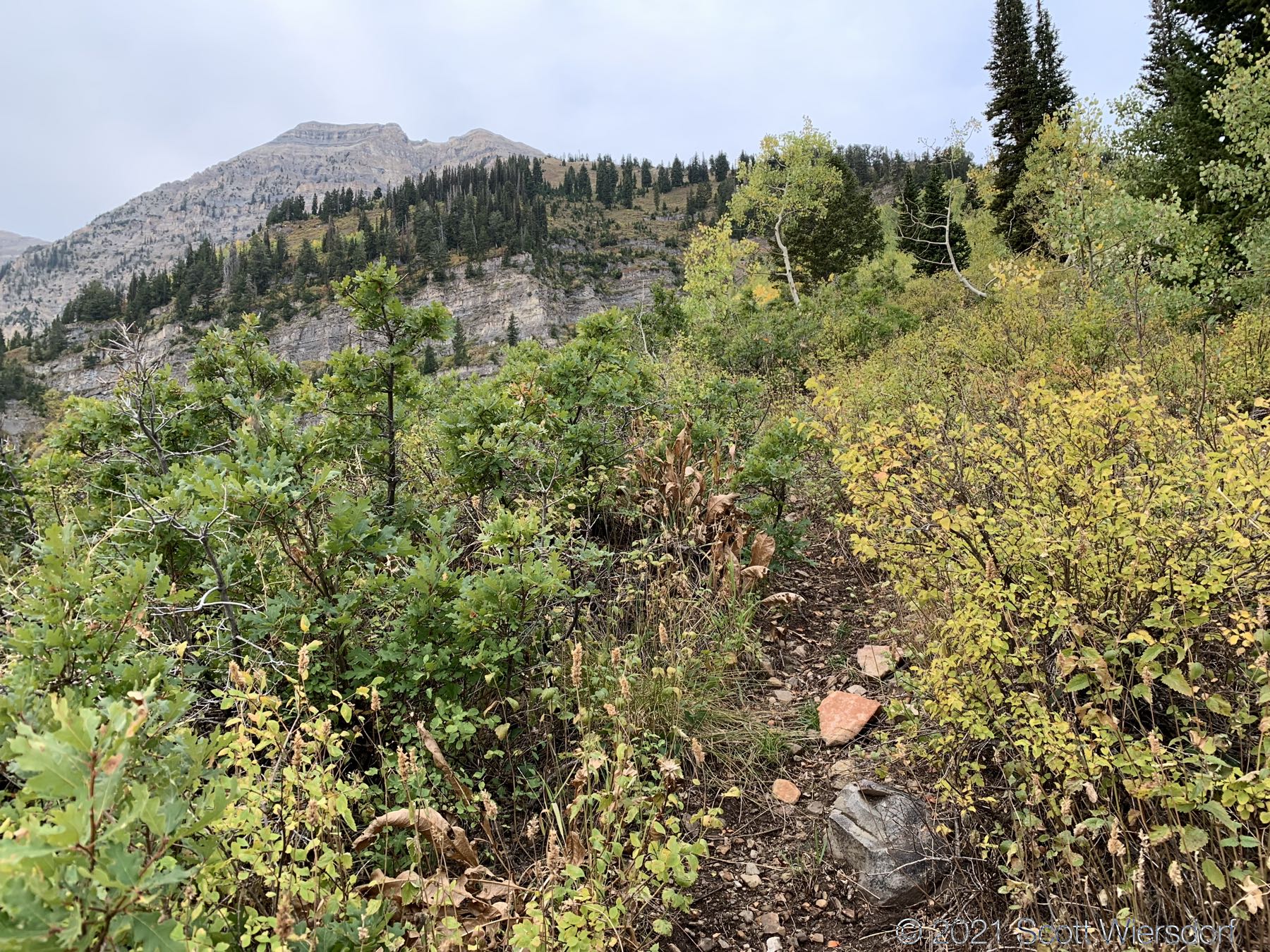
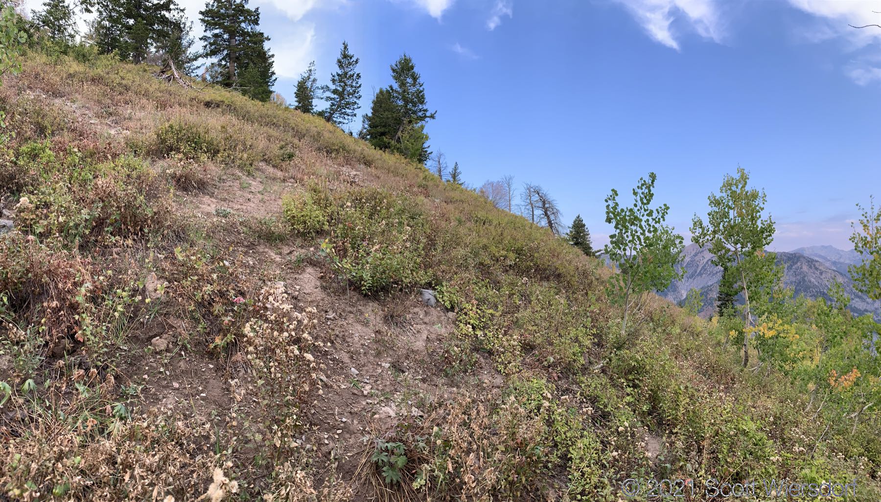
The path on the ridge is not maintained, wanders occasionally, and sometimes disappears.
The views east toward Scout Falls were beautiful:
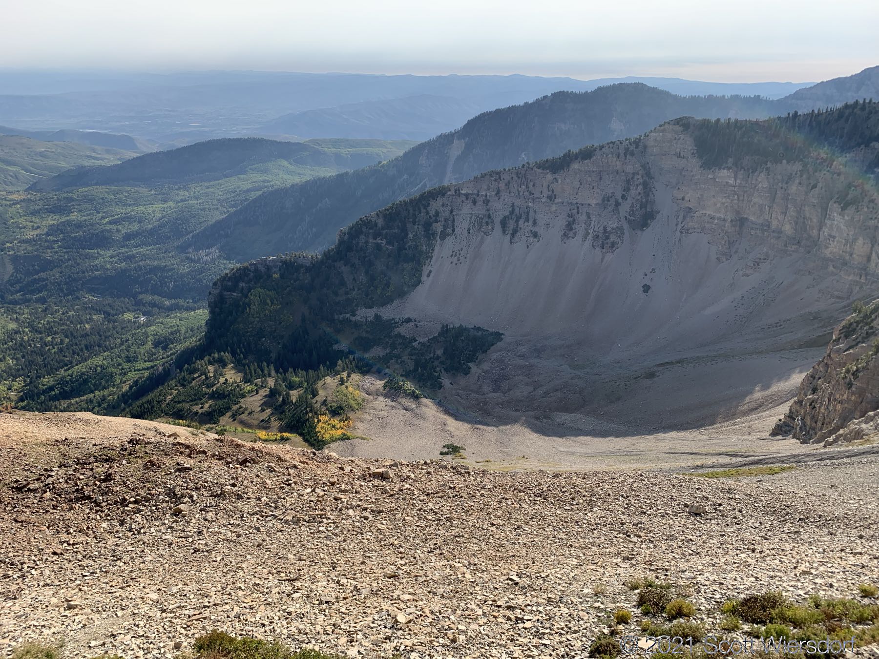
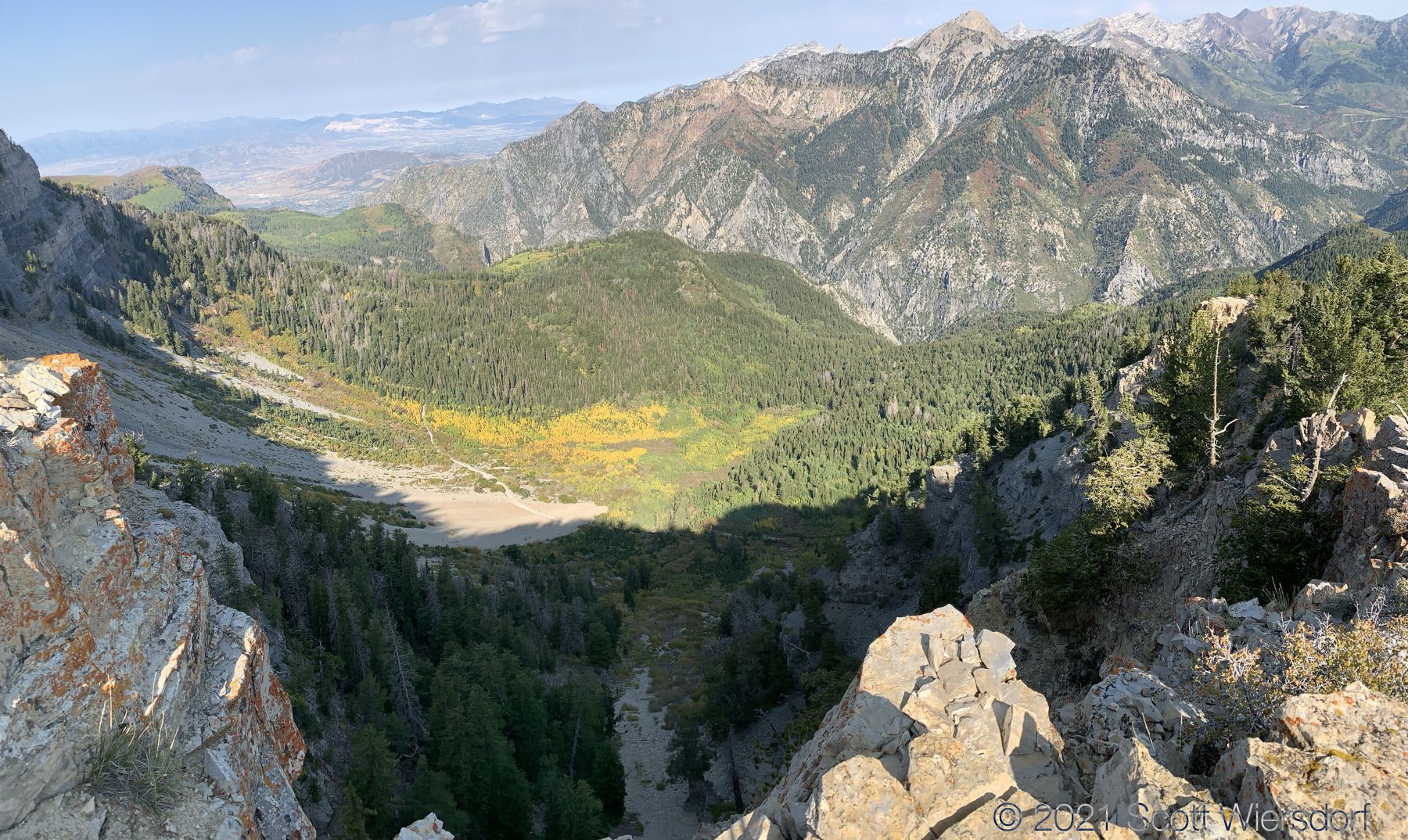
A look up toward Woolly Hole:
Once you get to where the ridge bends southwest the trail disappears completely:
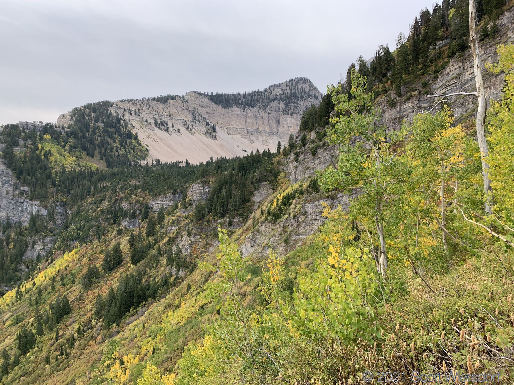
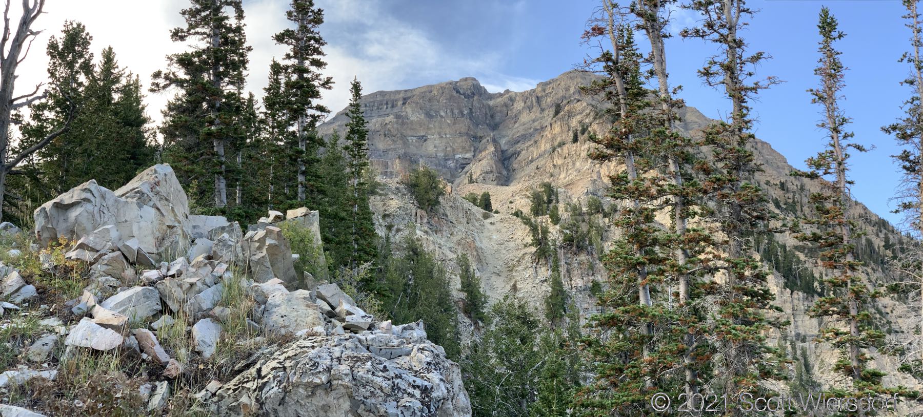
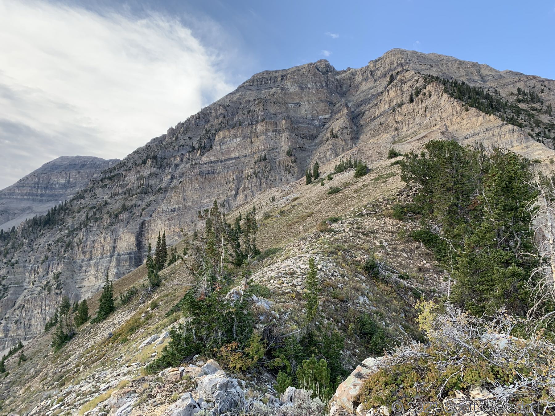
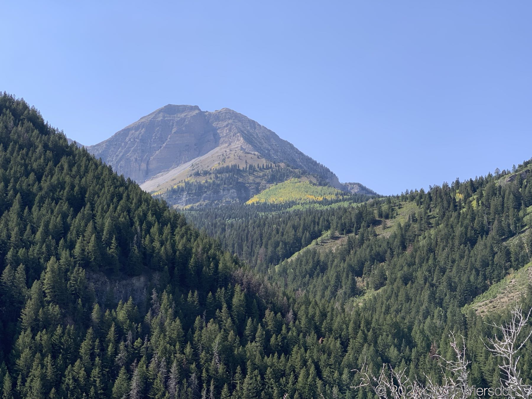
As you continue southwest up the ridge, you’ll get into some conifers and breathtaking views of North Timpanogos looking west:
I believe this is Grunge Couloir, popular with some folks :
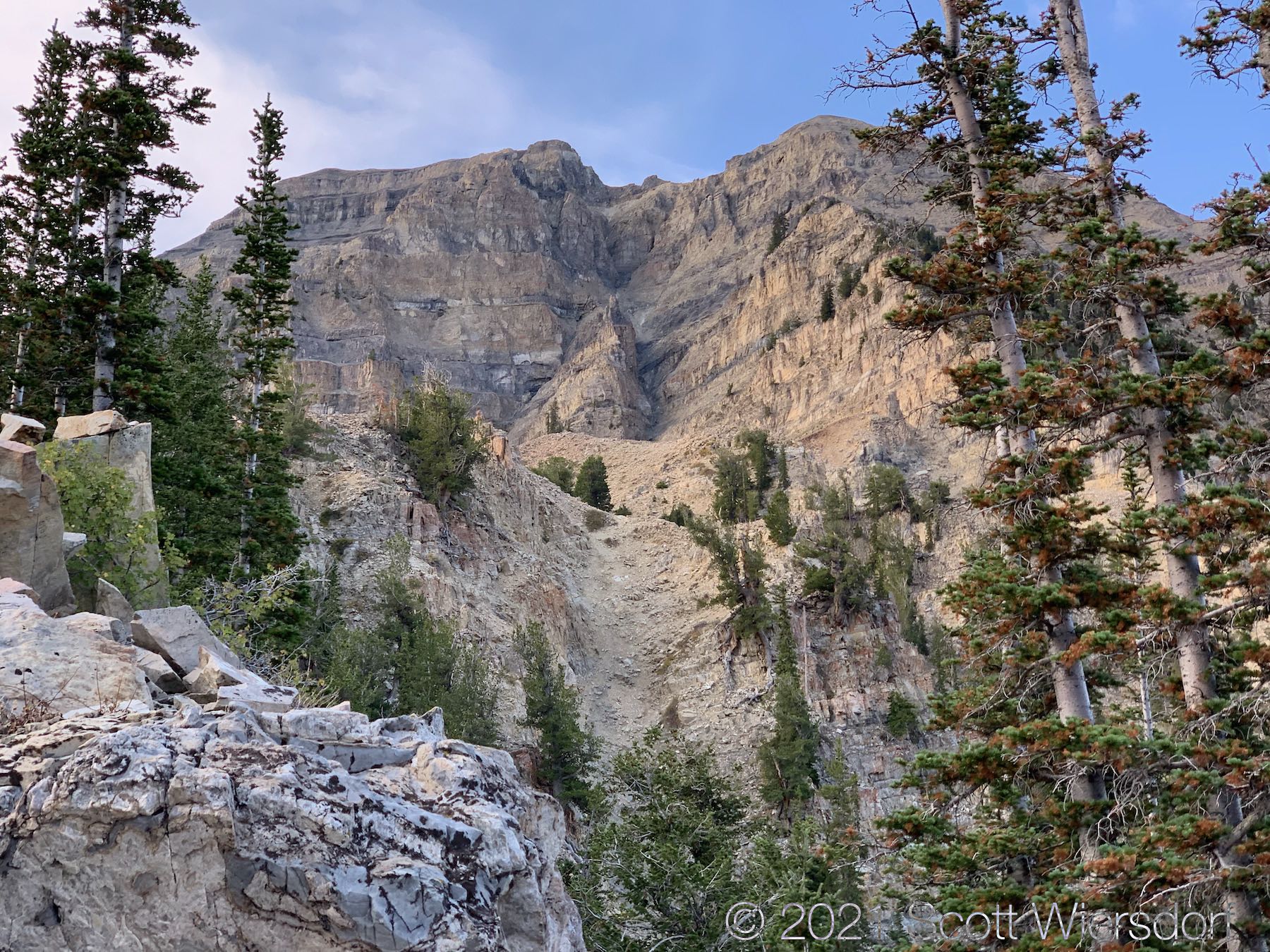
Some views of Woolly Hole:
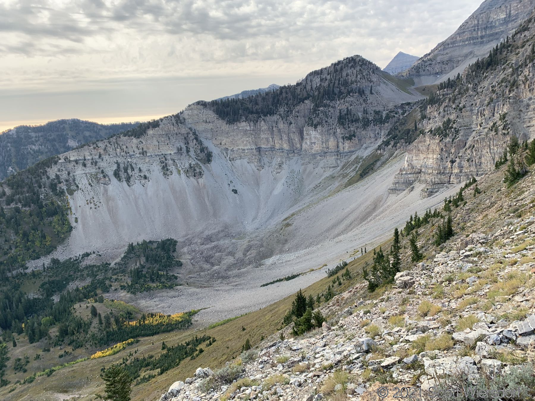
The ridgeline to the right is the route:
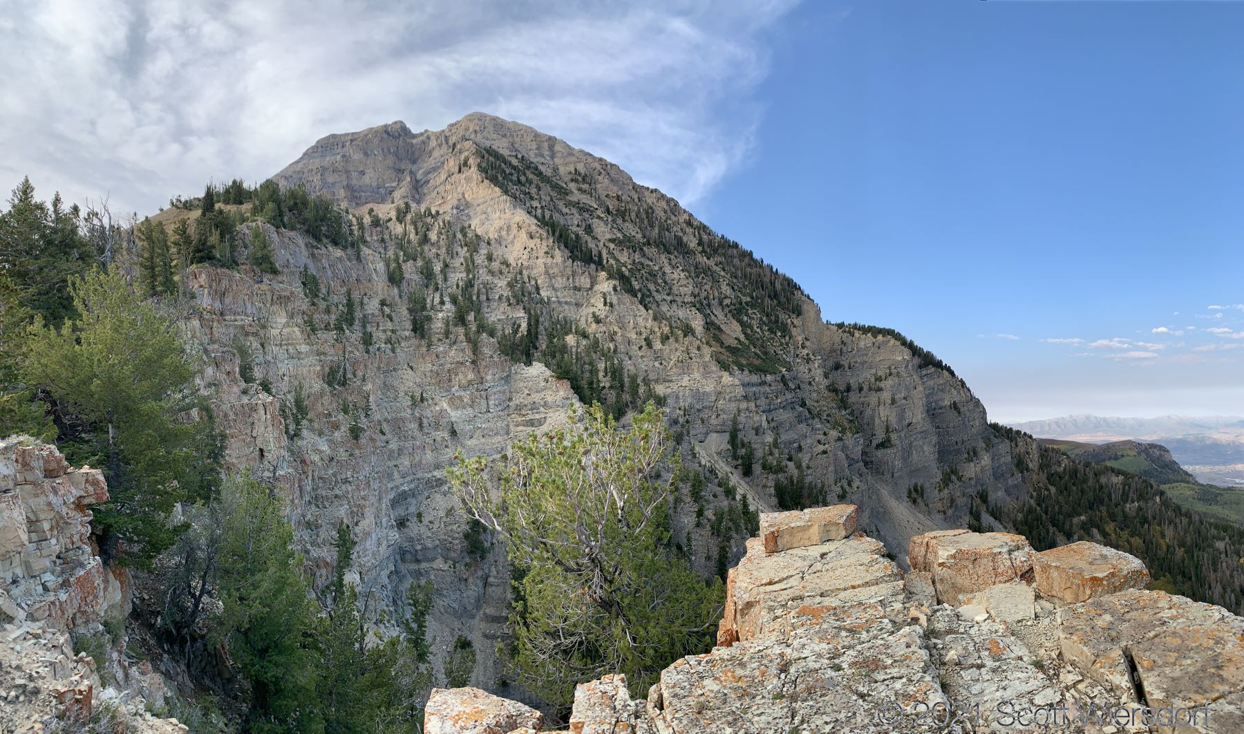
I made it to the cliff where there was supposed to be a cairn to guide me safely around to the west:
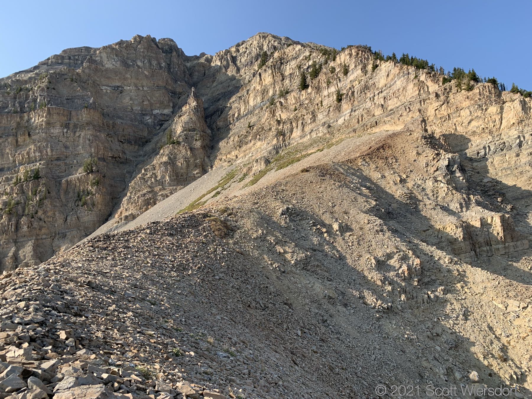
That’s it. I couldn’t find the cairn. I scrambled up and down a few dozen feet all along the base of the cliff looking for something clear to hike along but in the end decided the risk was not worth the reward in this case and I turned around and hiked back the way I came.
Another view of Woolly Hole:
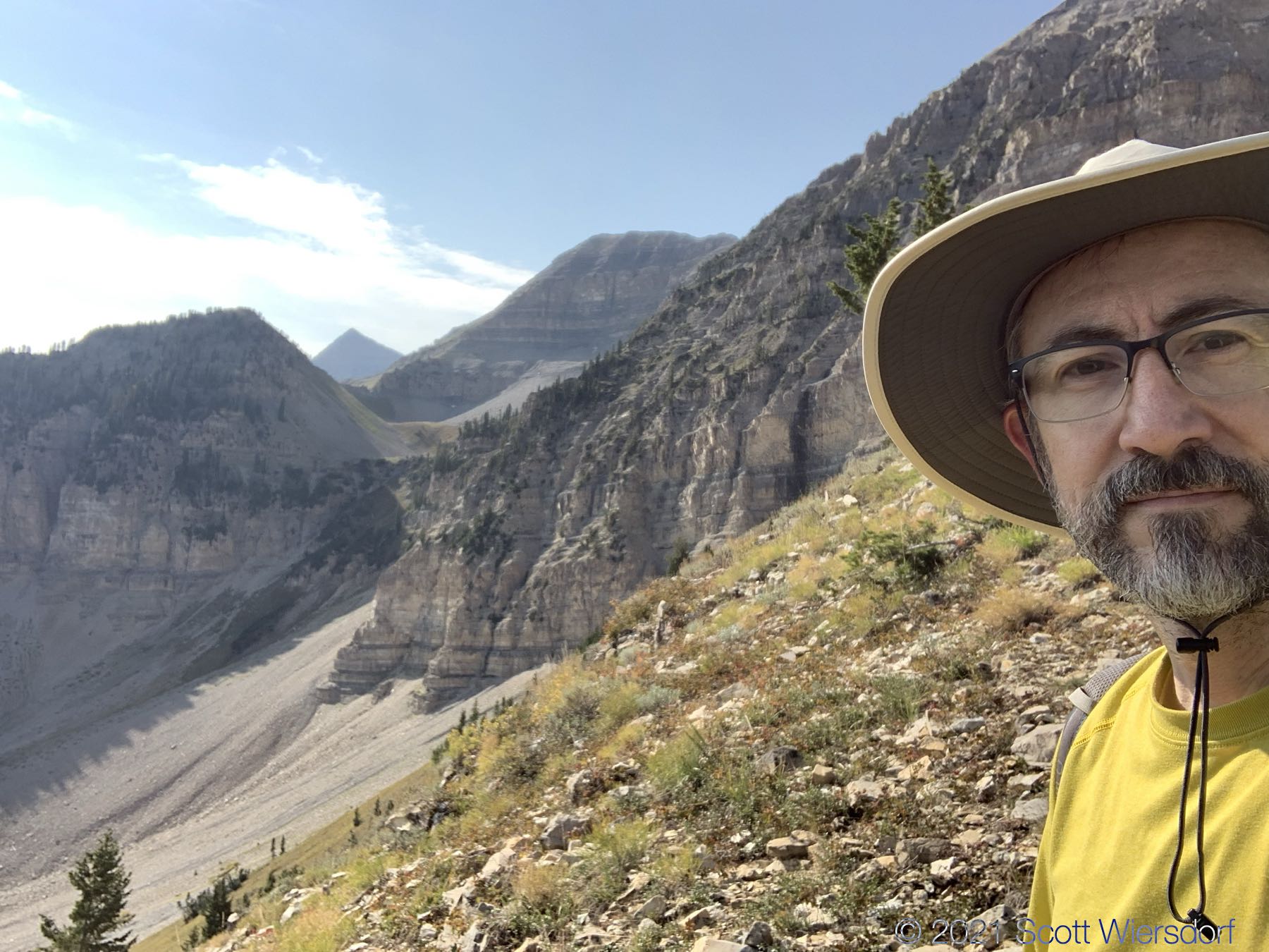
Me, in defeat:
A view of trail #151 as it winds around North Timpanogos to the west, then south toward Chris Flat:
And a view from the highway below:
The only way I will try this route again is with someone who has done it before.
My final elevation peaked out at about 10,450 feet, 1000 feet below the summit. Total distance in was about 3 miles, with an elevation gain of 3000 feet (I am happy with that gain) in about 2 hours and 20 minutes. Total hike distance was 6.25 miles in 4 hours 38 minutes.
My GPX track (view on Footpath ).
Last modified on 2021-09-23