First hike of the season, not disappointed. The air was still chilly at 7:30a and the sun felt delicious when I wasn’t in shadow. I didn’t start my tracker until I had been hiking for 10 minutes already (I lost about 0.44 miles on the track). My pace was steady and this year I’m in much better shape than last year and didn’t need to take any breaks.
When I dropped into Grove Creek drainage, I decided to stay on trail 151 (Timponeke-Chris Flat) until it joined with 042 (Grove Creek)—I had never done this before. Normally, I would drop down and follow the left trail that saves about a quarter mile with a more direct route to Indian Springs. Trail 151 from this fork follows a Civilian Conservation Corps trench (and contour line) most of the way around until it joins up again with trail 048 (Grove Creek) just below where 048 starts and joins the Timponeke Road.
I had a good clear view of Mahogany Mountain’s east face, and I could see my route I took last year (which I will never do again).
Total time: 3 hours, 3 minutes (I was stopped by a friendly real estate agent who had Important Questions, otherwise I would have been under 3 hours).
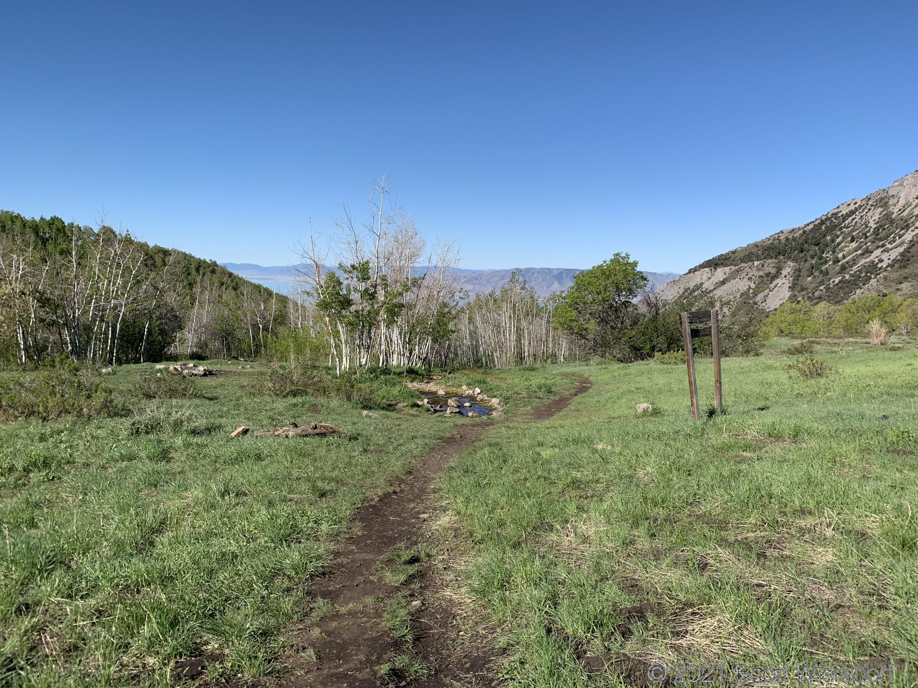
And the photos:


Nature imitates zen garden:


My GPX track (view on Footpath ).
Last modified on 2021-05-27