After last year’s disaster approach, Mahogany Mountain has been taunting me. “What if you took a different route?” I had read about several options to the summit last year and got excited about them, but then looking at that post now I realize that the hike was probably undertaken in the winter, which would have simplified the route I took last year as well as this year’s attempt.
For anyone asking me which route I would take if I did it again, this approach takes advantage of Forest Service trails most of the way and doesn’t involve scrambling or bushwhacking. But I’m not doing it again, so my opinion doesn’t matter.
Update (5 June 2021): This route from Girl on a Hike also looks interesting. I didn’t know there was a trail to the north peak.
TL;DR: this is an old unmaintained trail that is “ok” in the first mile or so, overgrown in the next half-mile or so, and bushwhacking the rest of the way.
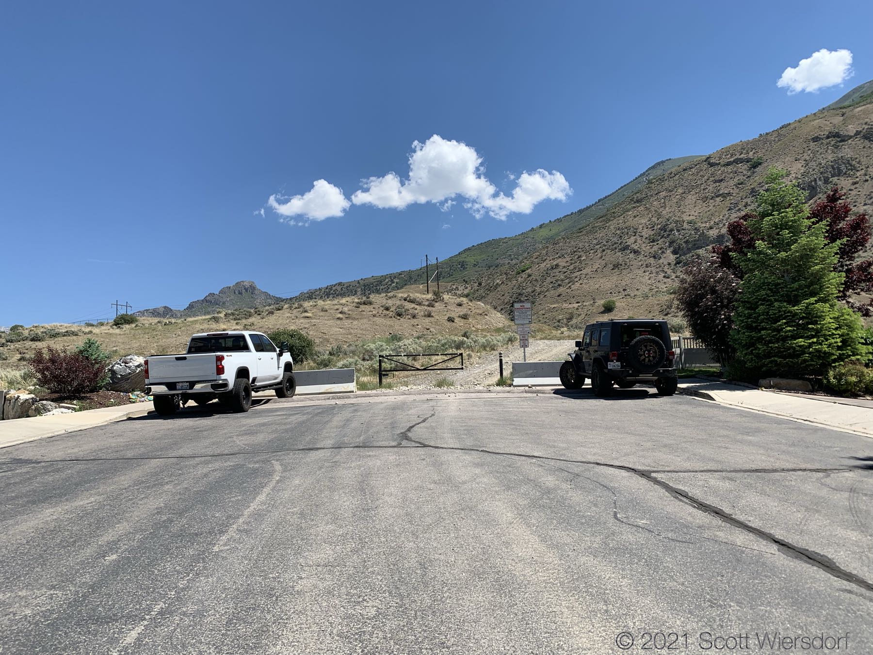
The trailhead starts at the end of Heisetts Hollow Drive in Cedar Hills. There is parking space for 2 vehicles (I rode my scooter and was able to squeeze in), so plan accordingly. You could probably park at the church about a quarter mile down the road if you had to.
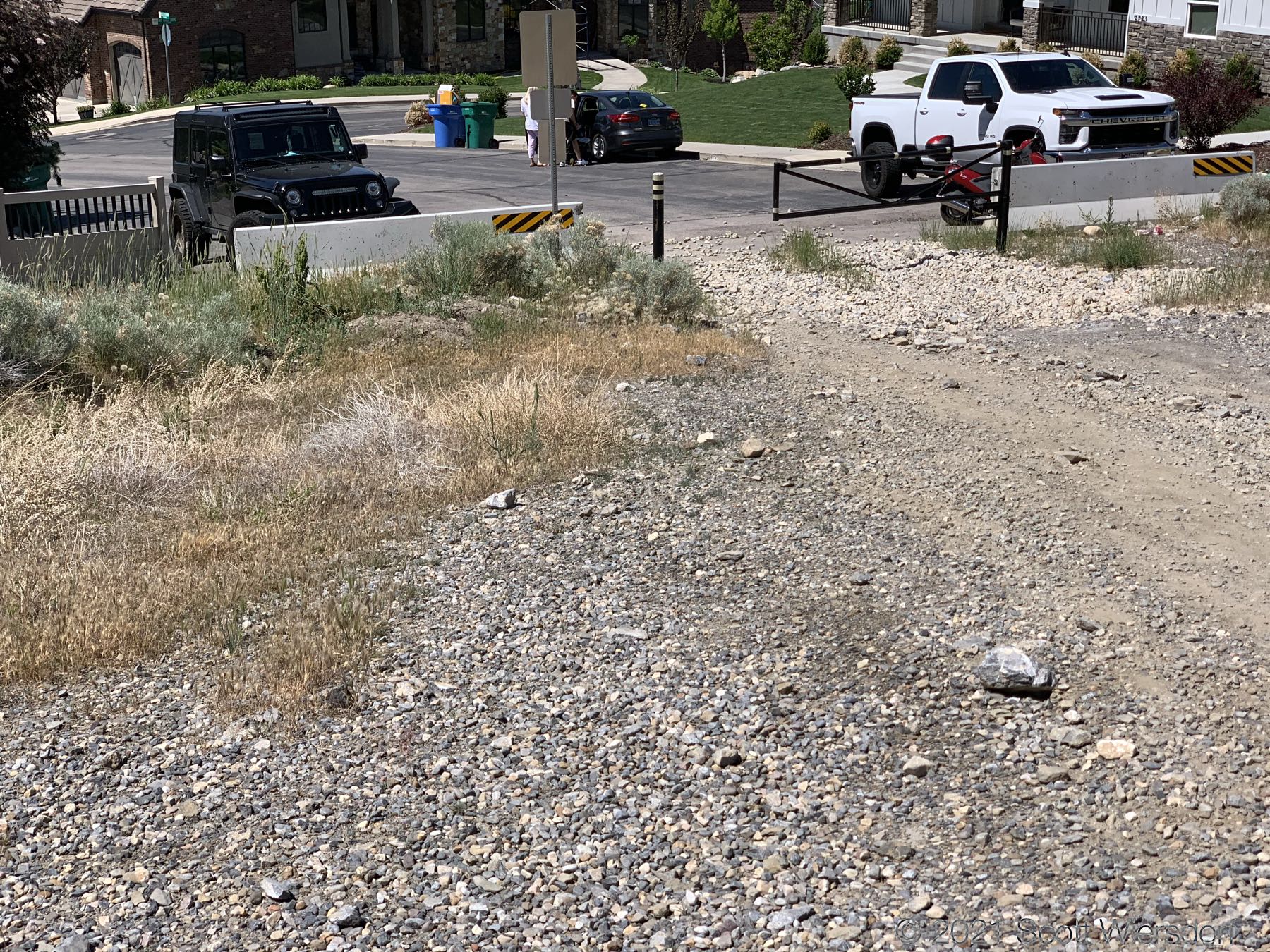
The first half-mile of the trail is an old service road. Some (possibly all) of this property belongs to the City of Cedar Hills. It’s kind of a mess of trails and roads that loop and criss-cross. I had gone up to the trailhead the night before to walk the first half mile to see if I could find my way into Heisetts Hollow.
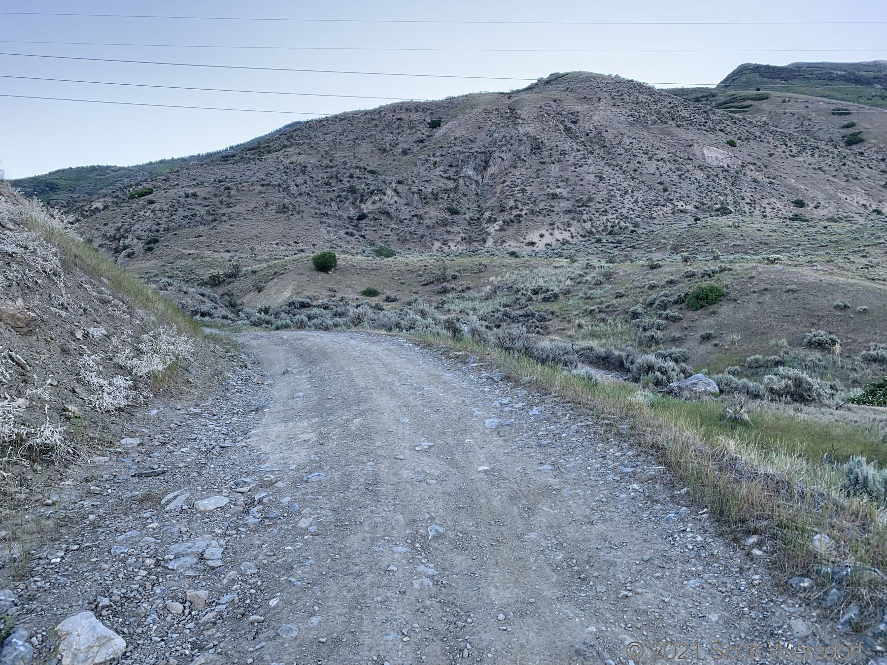
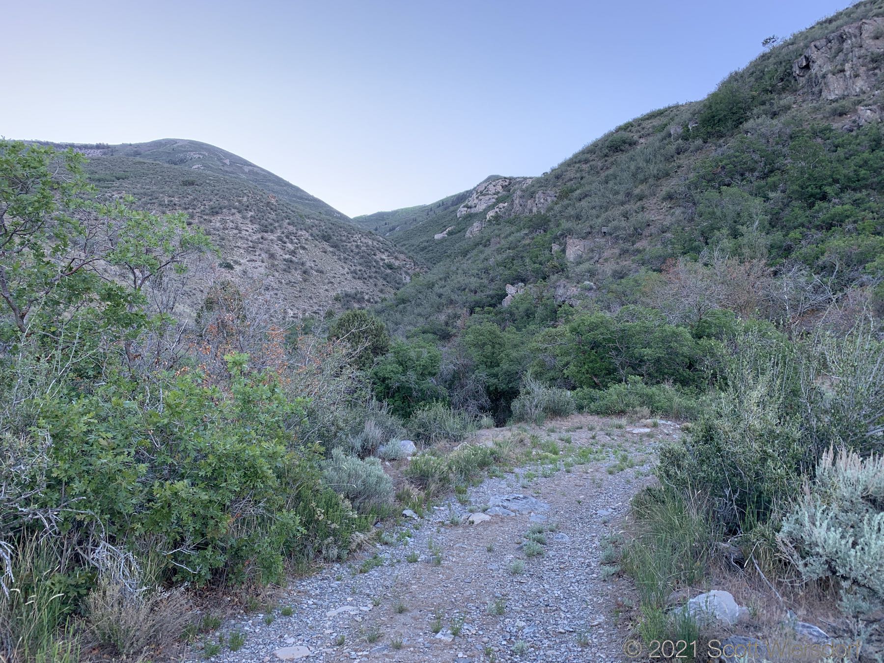
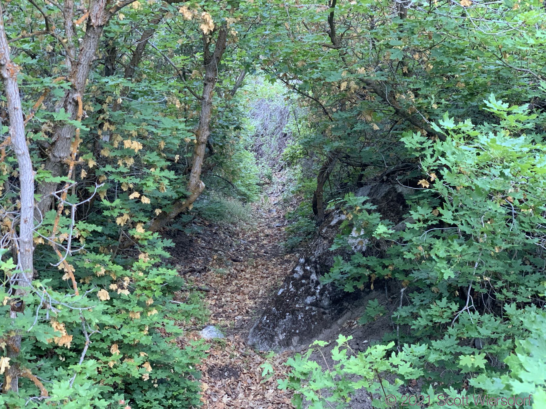
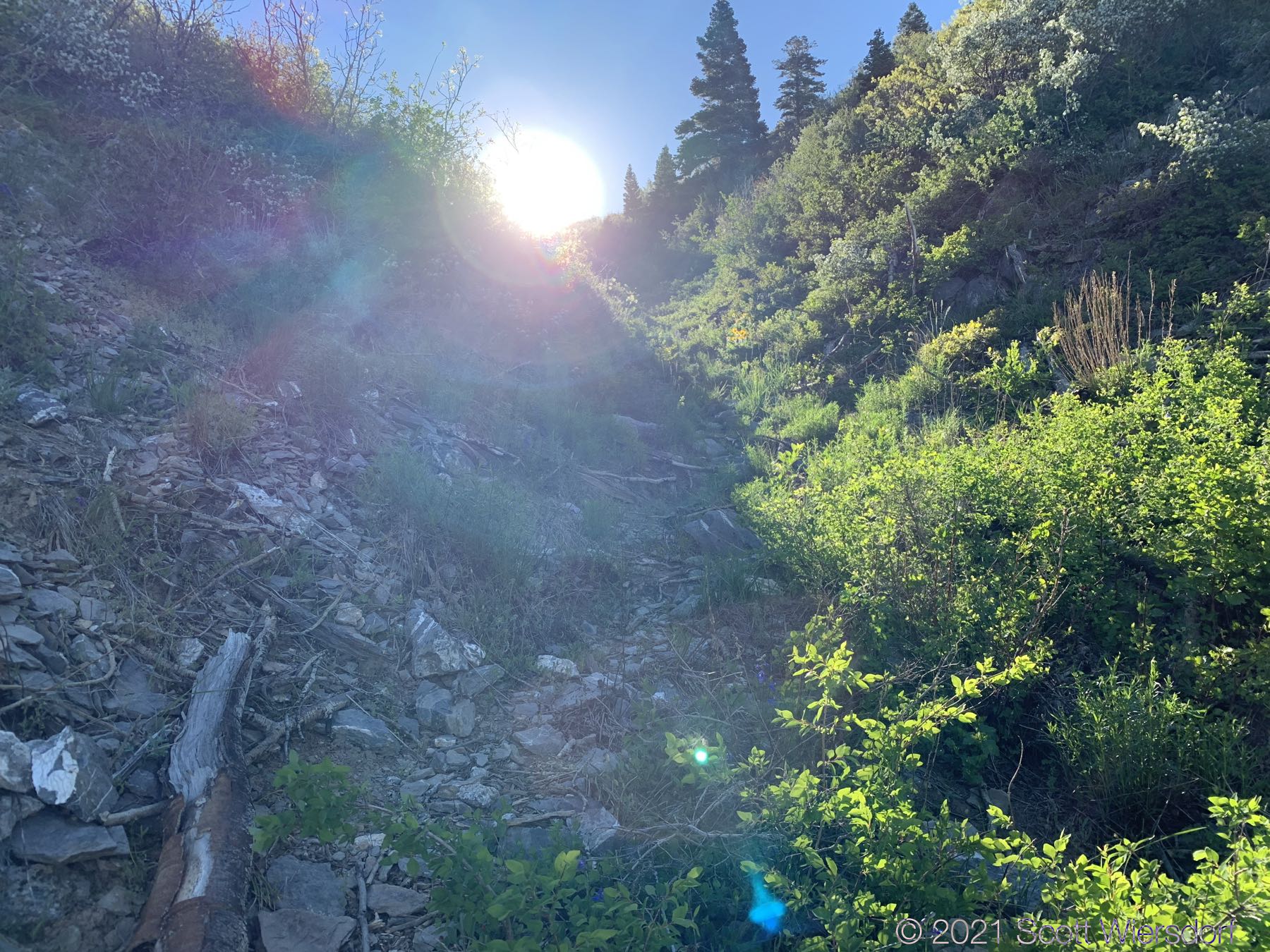
The next half-mile to three-quarters of a mile of trail is in the hollow. You’ll pass through high desert junipers, mountain mahogany, and Gambel oak. As you gain elevation and the hollow becomes deeper you’ll see more Rocky Mountain maples along the trail. This part of the trail, while not maintained, is in good shape and easy to follow. Plan to get whipped in the face with some of the trailside shrubbery. Through most of this hike, I found the underbrush was the main source of frustration.
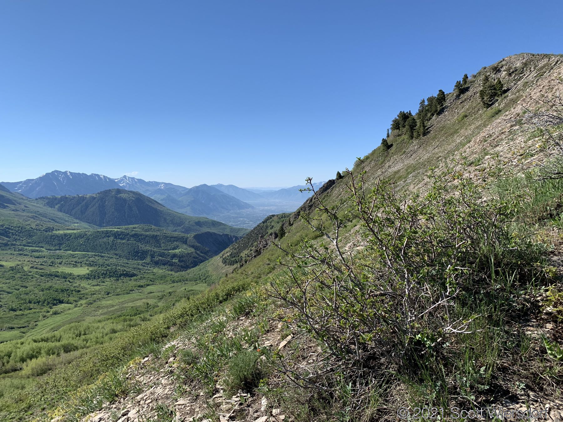
At this point, the trail leaves the hollow and goes up the slope to the south. This detour is highly recommended (I followed it on the way up, but stayed in the hollow on the way down and regretted it).
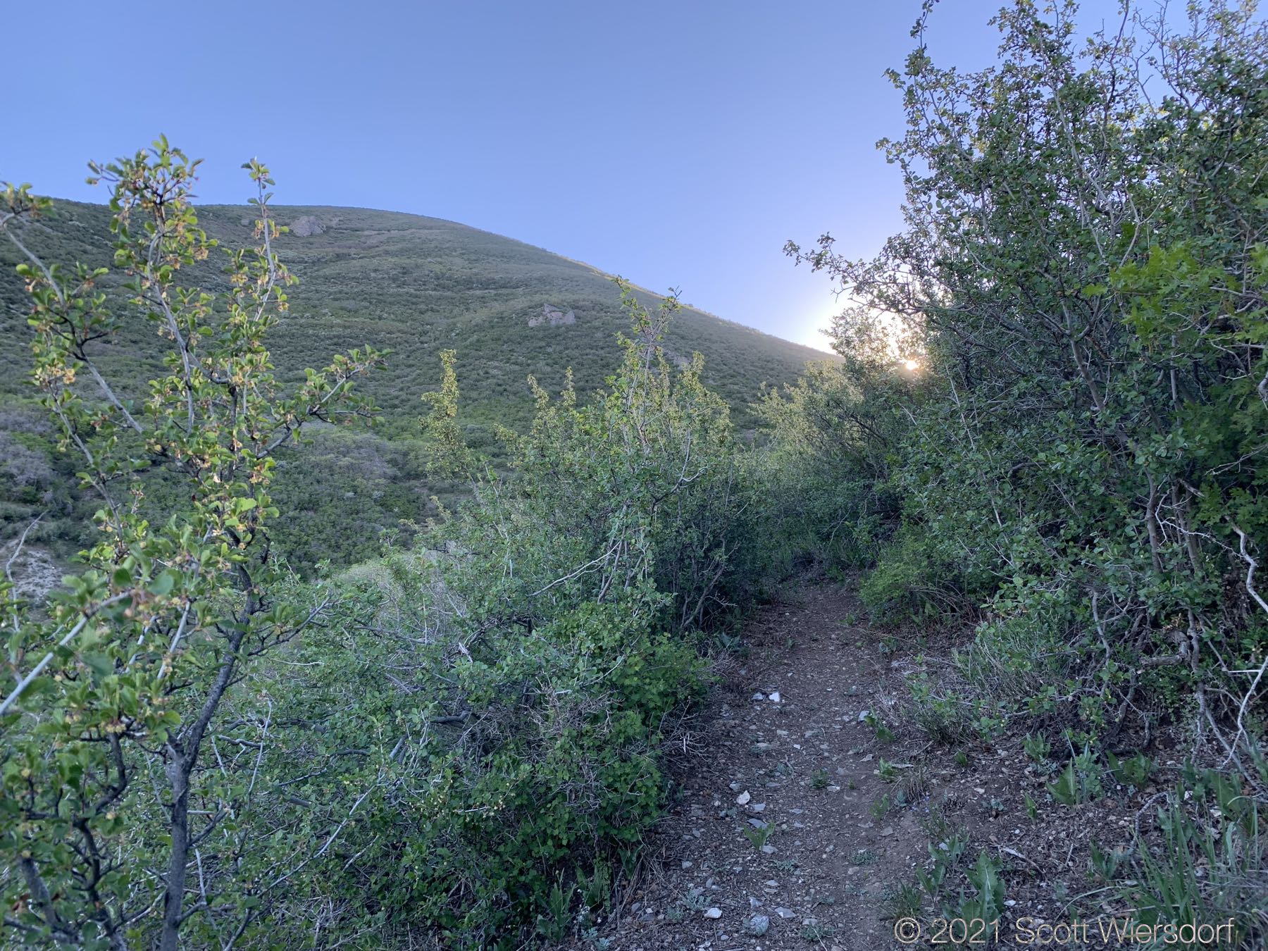
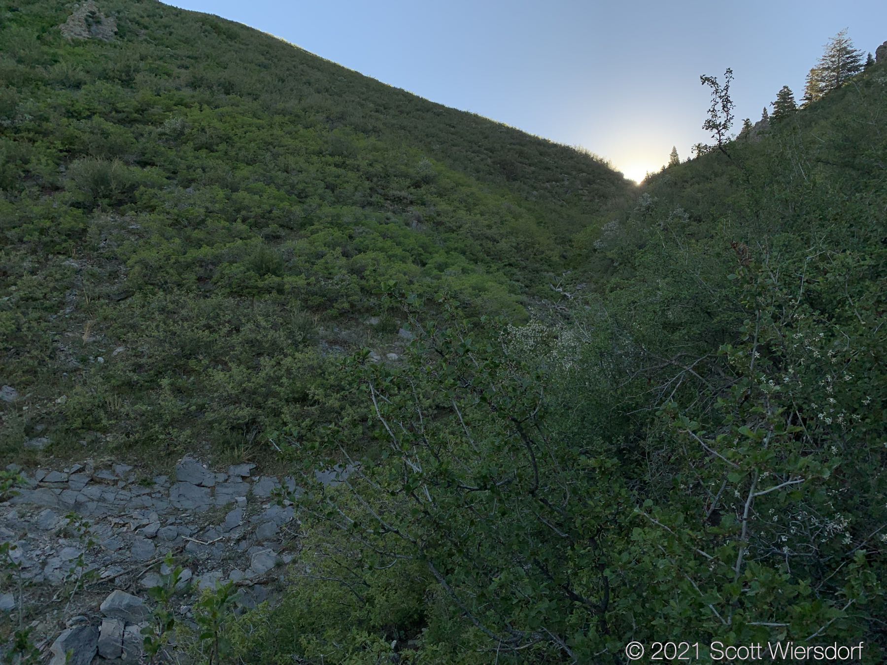
At about 1.6 miles this slope trail will drop back into the hollow. For the next almost half-mile you’ll be in the bottom of the hollow stumbling along aspen trunks and limbs that have been carried down from the top by winter avalanches in past years. Some of these trunks are slick, some will roll, some will snap under your weight, some will snag you as you pass: it’s a cornucopia of uncertainty!
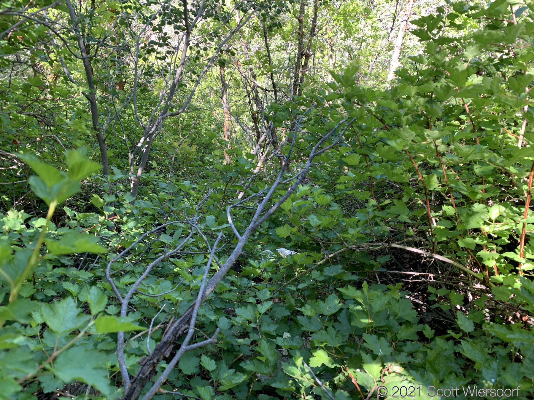
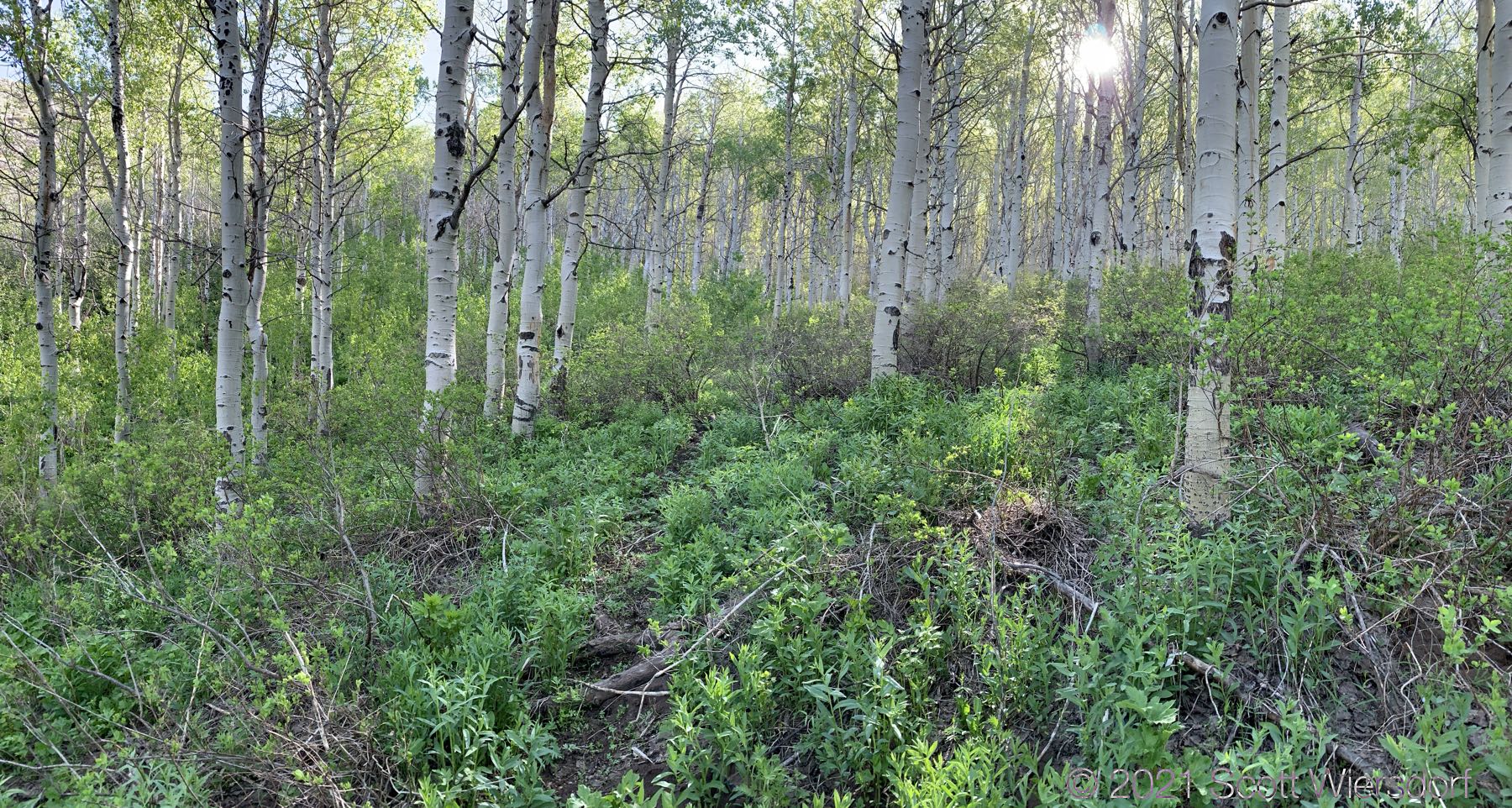
The underbrush was thick for at least half of the hike:
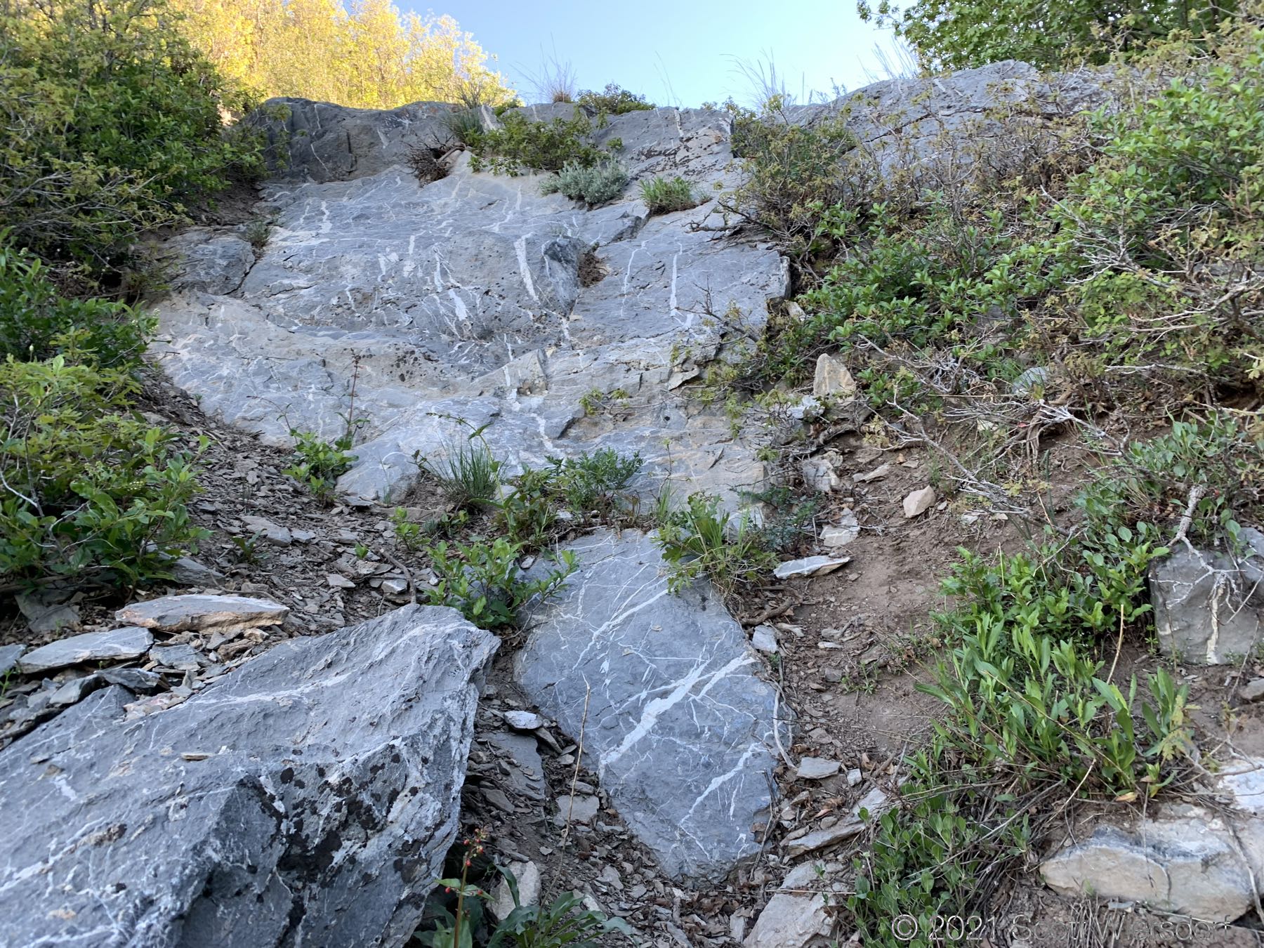
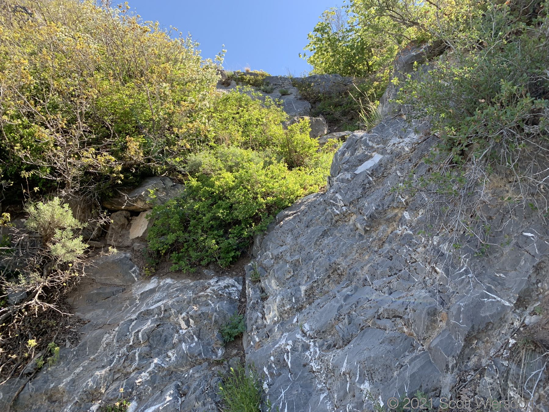
In this section (about 7500’ elevation) you will scramble up a few exposed limestone outcroppings. Nothing dangerous here: these are not high and there are plenty of foot and handholds.
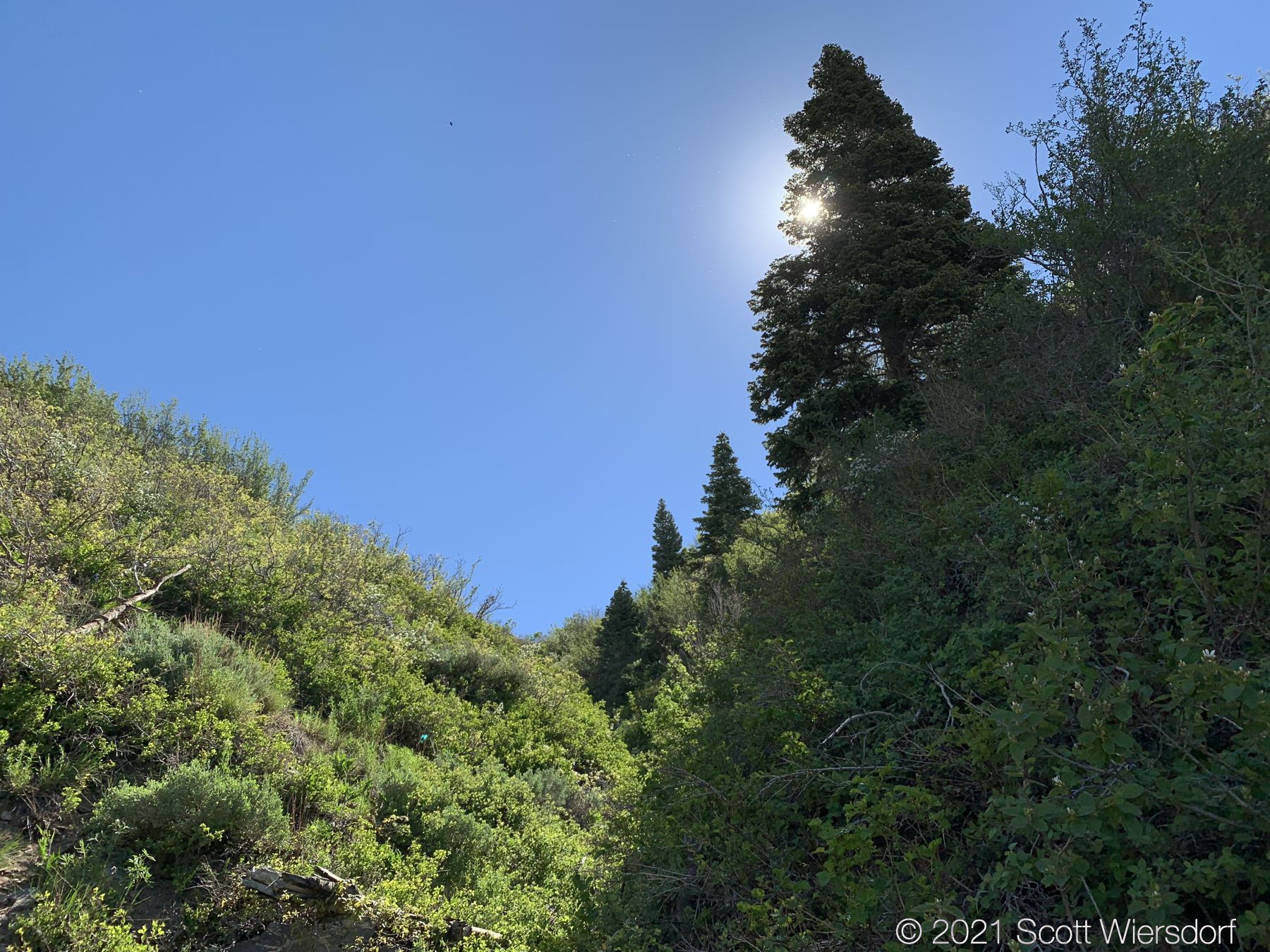
One of the first extremely large conifers is almost exactly a mile from the top:
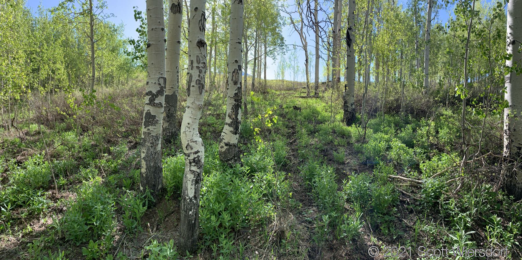
At about 1.9 miles up the “trail” (I must use quotes here now to denote a private joke about the whole situation that isn’t funny) you’ll reach a large aspen stand. You will be in this stand until you arrive at the saddle below Mahogany Mountain. The trail in this stand is gone. You’ll be deceived by deer trails that look promising, then lead away up the slope in the wrong direction. The underbrush was thick for early June (the snow has only been gone a few weeks) and I can only imagine it getting worse as the summer goes on.
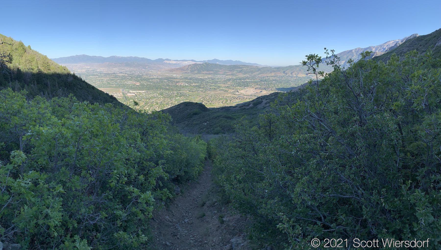
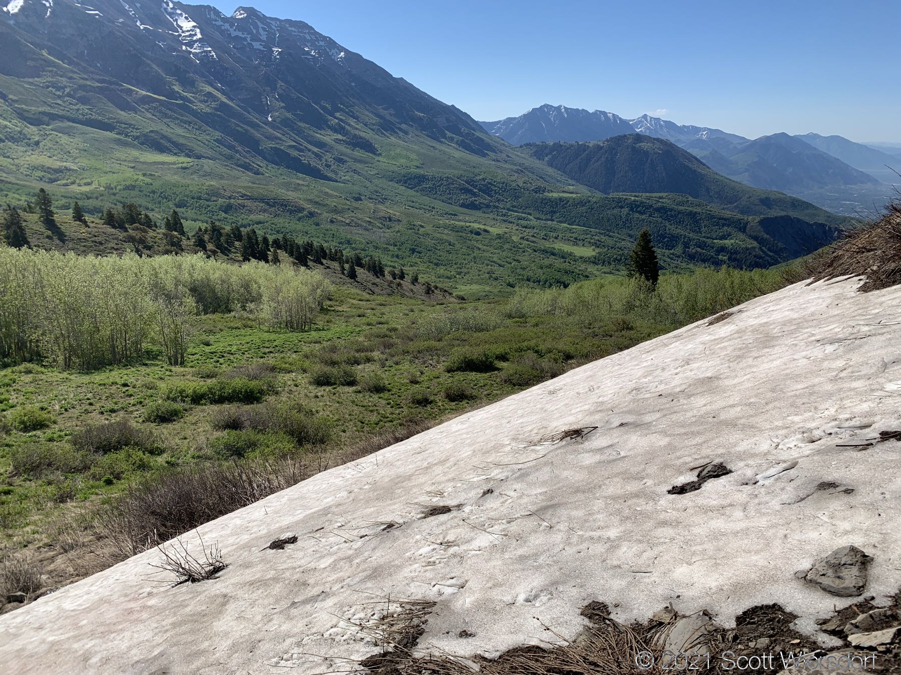
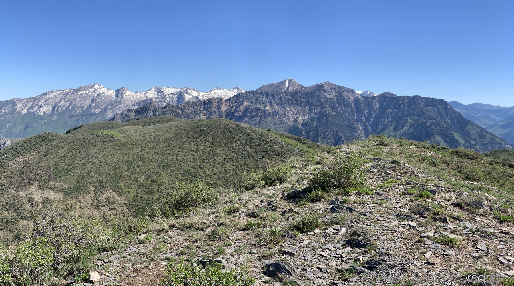
However, once you clear the aspens, you’re just a quick skip up the ridge to the top. This part of the trail is easy to find and follow. There was still a bit of snow on the north-east slope of Mahogany Mountain just above the saddle to the south (yes, I threw a snowball):
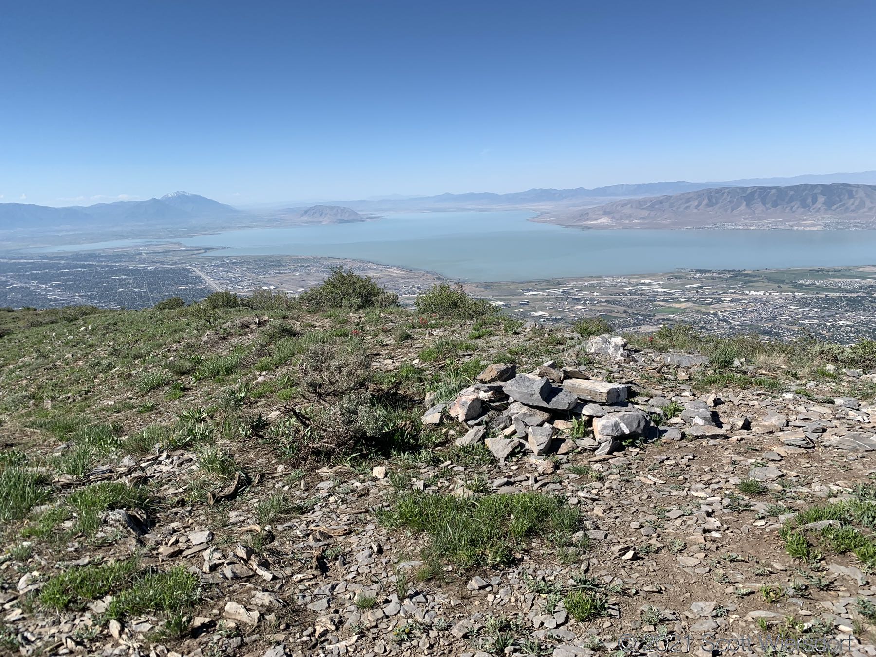
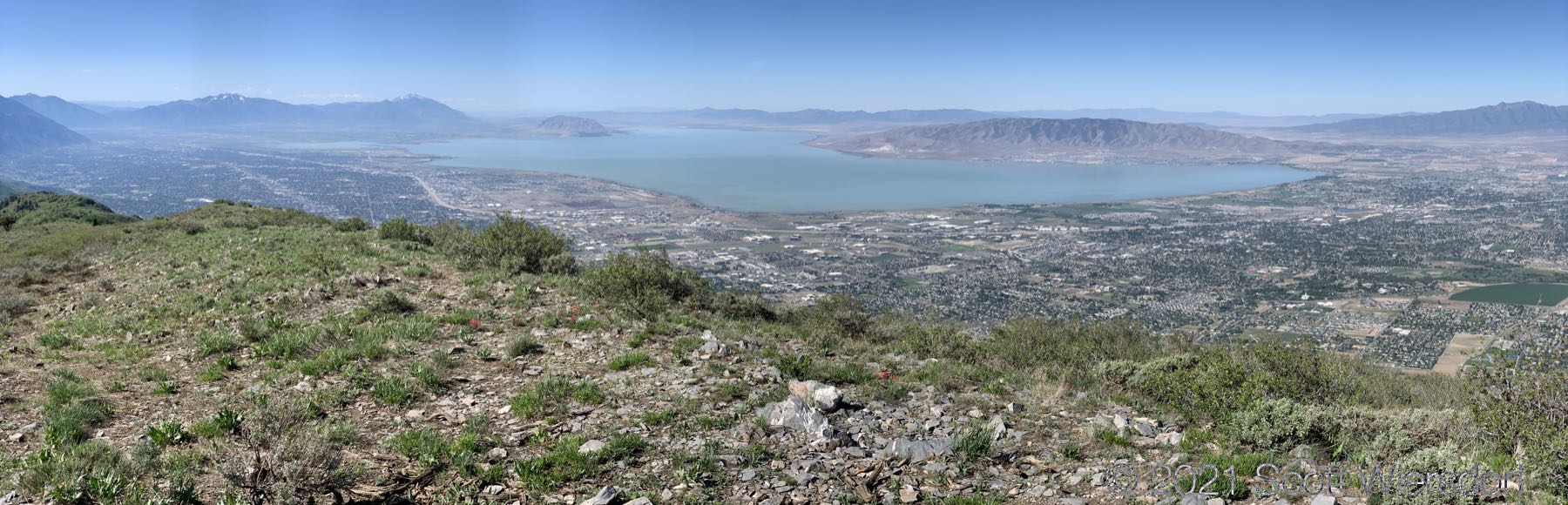
View from the top:
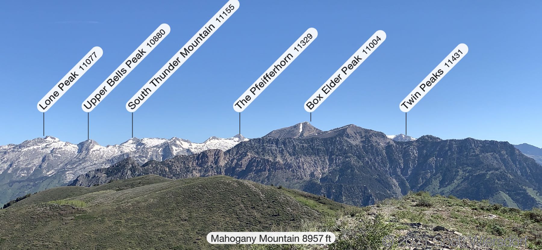
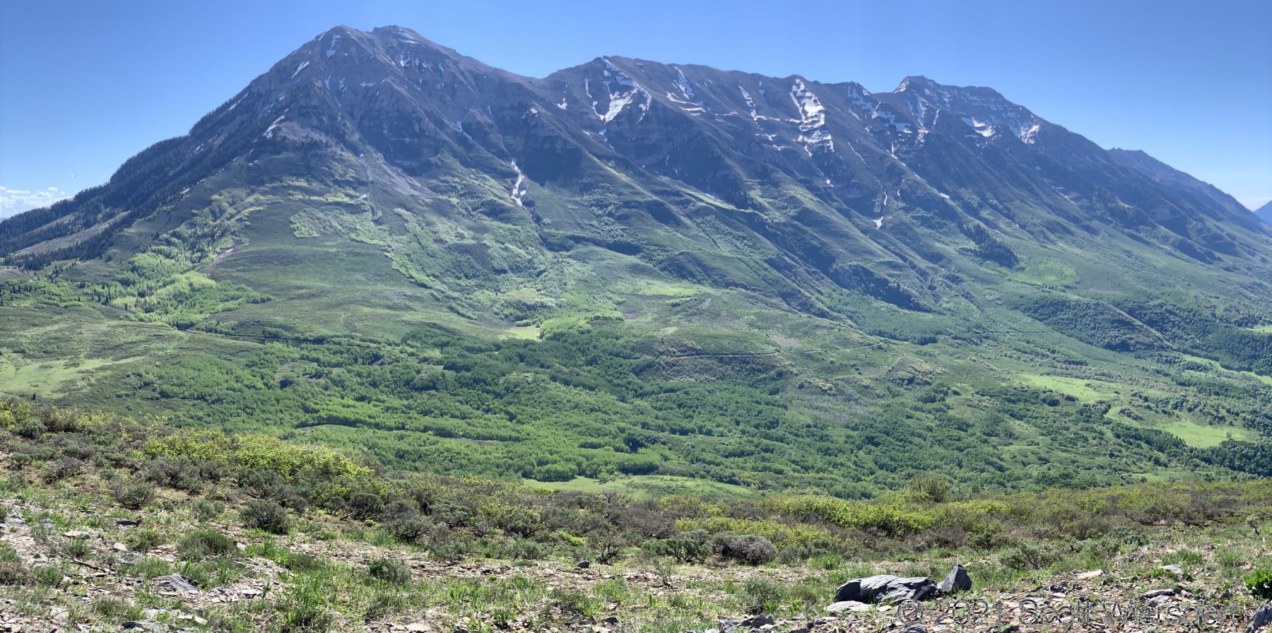
A panorama of the surrounding peaks:
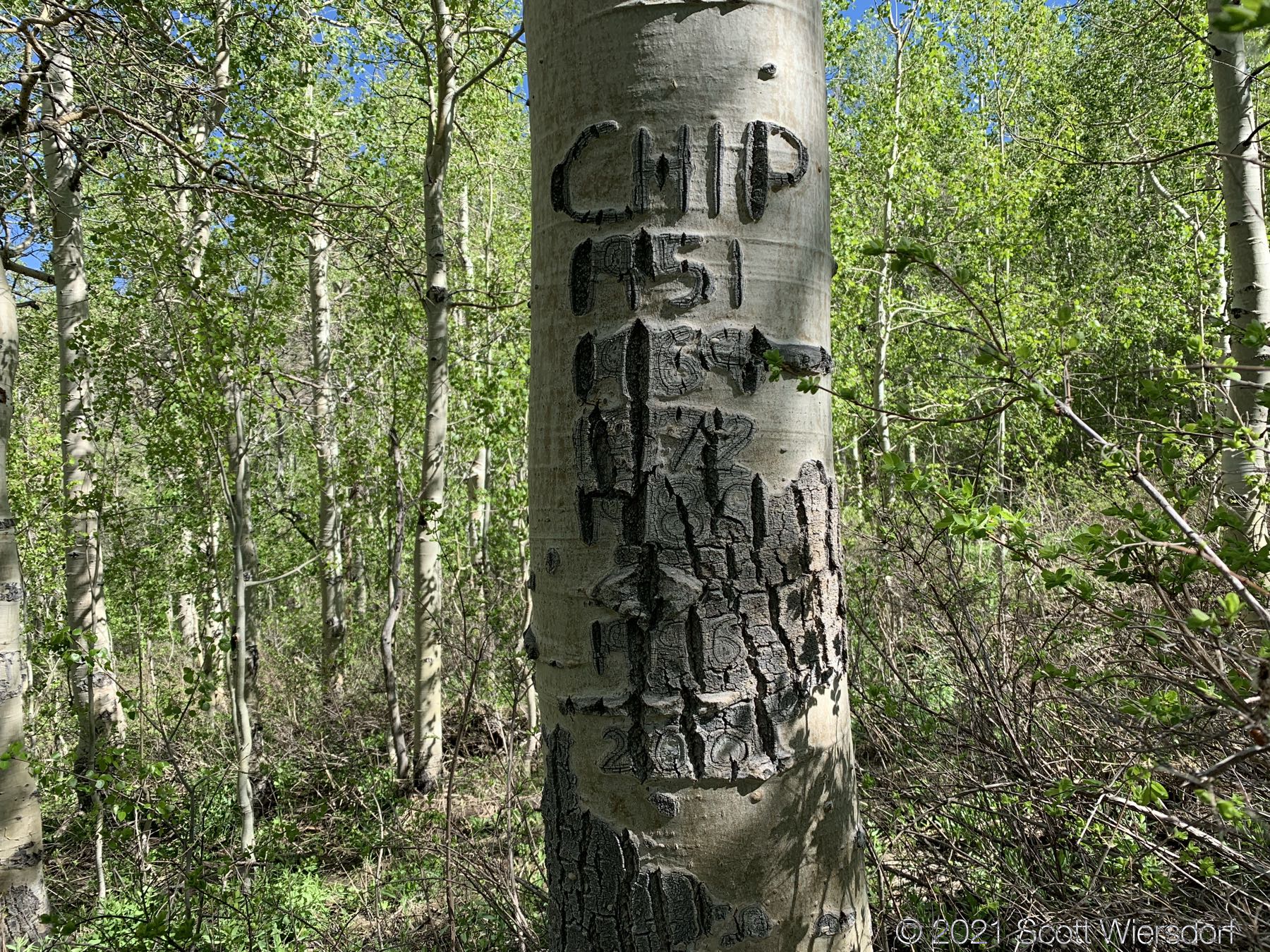
I noticed this aspen on the way down; I’d like to talk to whomever hiked this canyon this many times someday:
Summary: this route is possibly the most direct route up Mahogany Mountain (besides a western face scramble). The lower half offers a bit of shade, especially in the morning, but the overgrown trail is “grabby” at the legs and feet. If you take trekker poles, remove the baskets for easier movement through the underbrush.
This was more enjoyable than last year’s attempt but still not a pleasant hike beyond the lower mile. This kind of hike really makes you appreciate what the local Forest Service workers do to keep the other trails in good shape.
My GPX track (view on Footpath ).
Last modified on 2021-06-04