This is a story about a mistake I made in choosing my route up Mahogany Mountain. This was possibly the worst hike I have ever done. The views from the summit were no better than those from Little Mountain or Big Baldy but the route I took was terrible. My main problem was I was piecing together routes from different maps I had seen, thinking, “Surely someone has hiked this obvious direct route before.”
I had originally planned to take the (missing) trail up across Sagebrush Flat and get me close enough to the saddle I could then take the known trail to the summit.
I took the Grove Creek trail to the first creek crossing (a little over 2 miles up). At this point—and I verified this was a good route with a random hiker I crossed paths with a mile back—I followed the left fork of the creek into some pines.
That there was no trail at all in the area should have been my first warning that this was a bad idea, but I clung to hope and the 1998 USGS topographic map (Timpanogos Cave, UT quadrangle) that there is a trail that goes up the left fork of Grove Creek. This map lies.

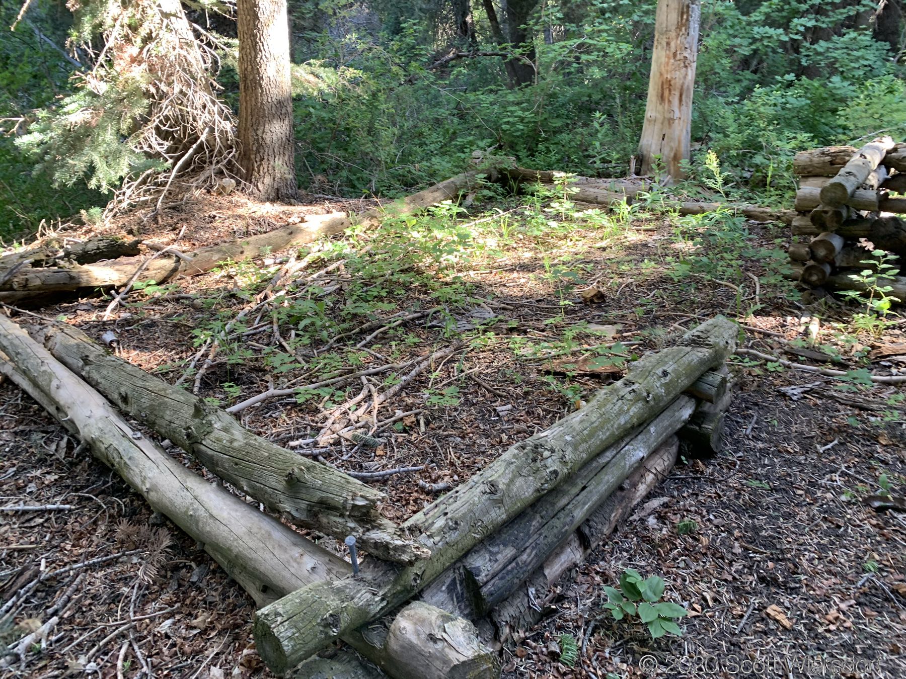
I wandered all over where the trail should have been, zig-zagging, checking my GPS coordinates, etc. I’m pretty good with maps and I had solid GPS signal. What made this frustrating were the little markers that seemed to indicate that I was close: a railing across a creek crossing, a half-built log cabin in the woods marking someone’s failed Waldenponding adventure, phantom trails that disappeared after 50 feet, etc. I would love (and invite) anyone to please be my guide next time I try this route (note: I will never try this route again).
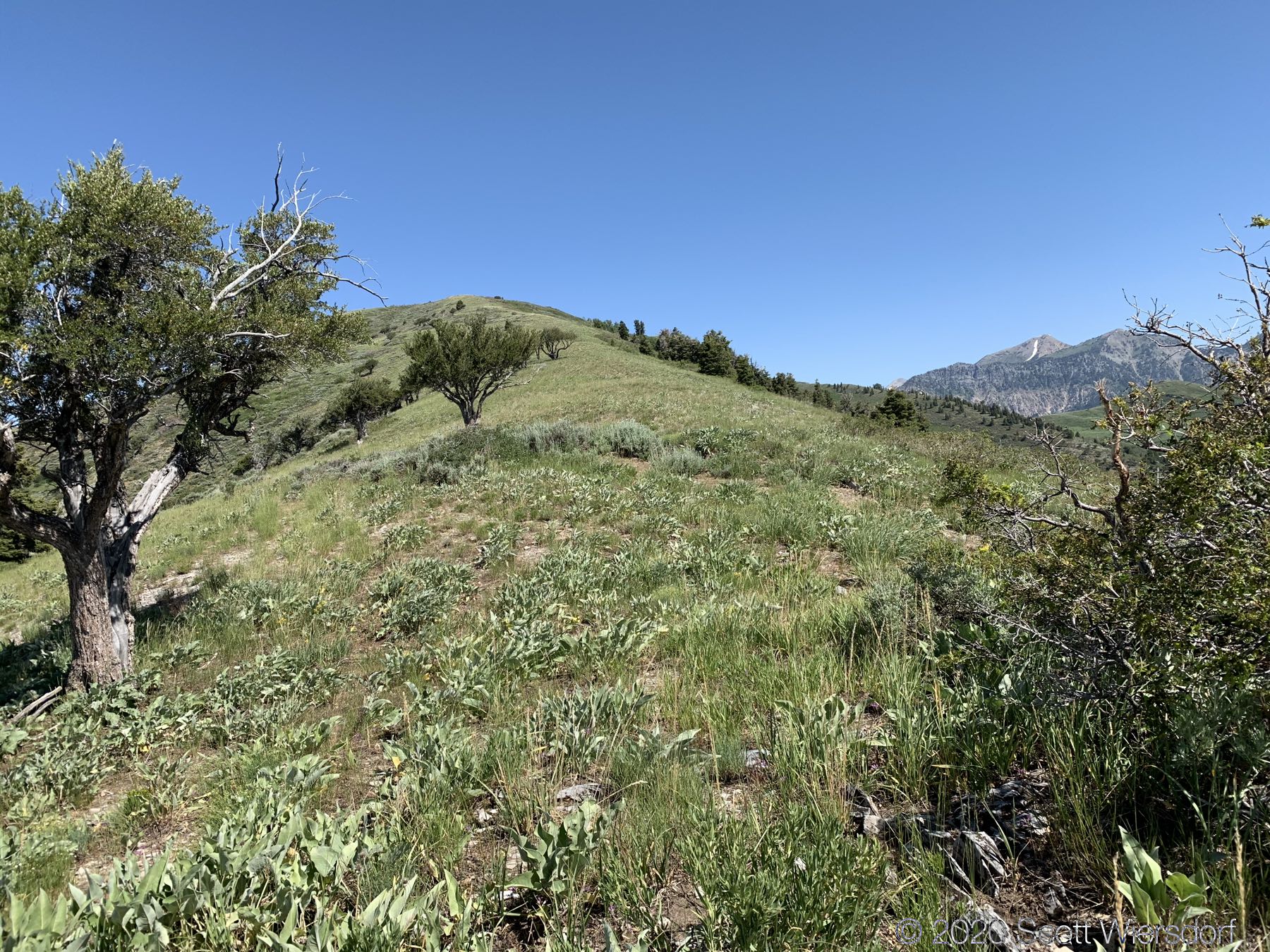
The next bad decision I made was to leave the invisible trail and go straight up to the ridge to the south end of Mahogany Mountain. In retrospect, this was less bad than trying to stay with the non-existent trail, but neither turned out to be good options.
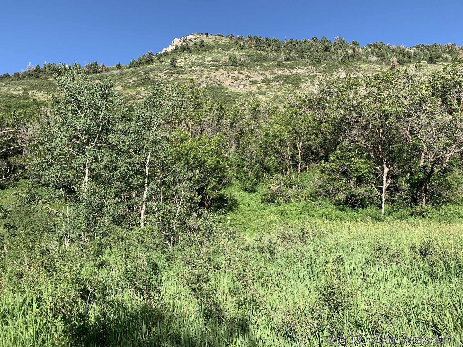

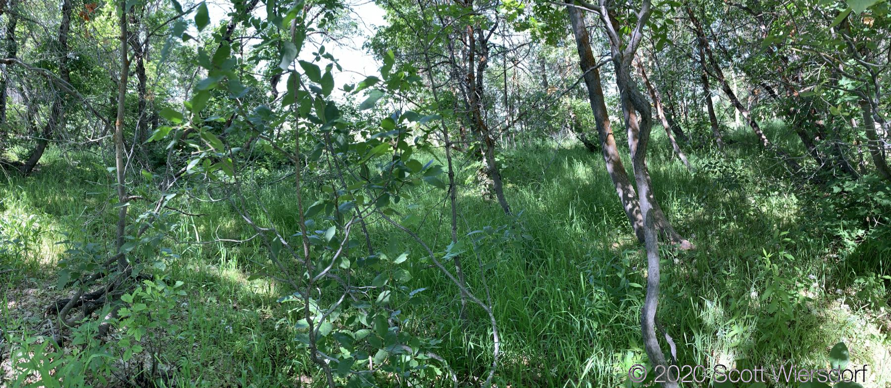
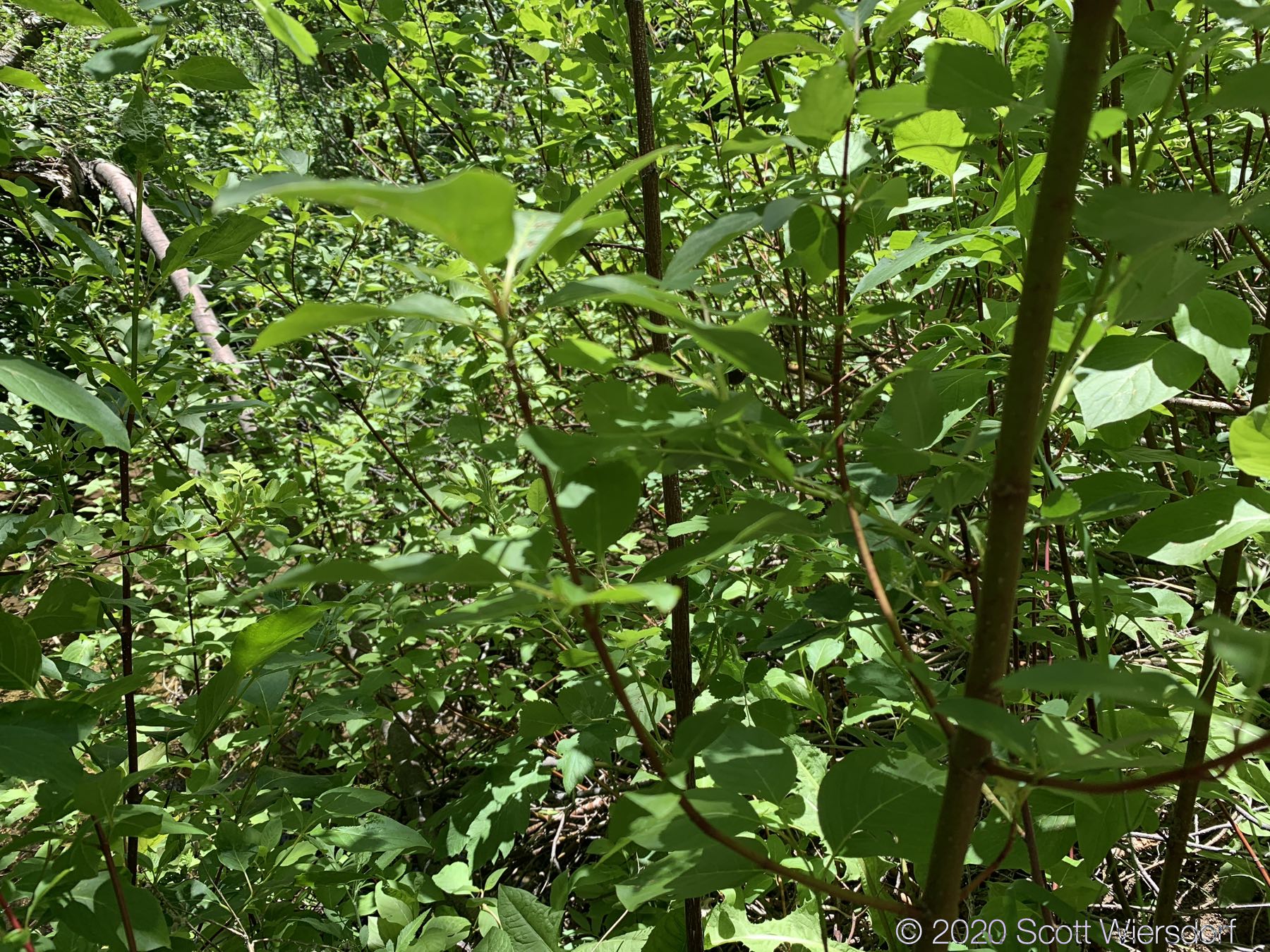
Once I was on the summit, I thought I would be fine, but then there was another half mile of maple thicket:
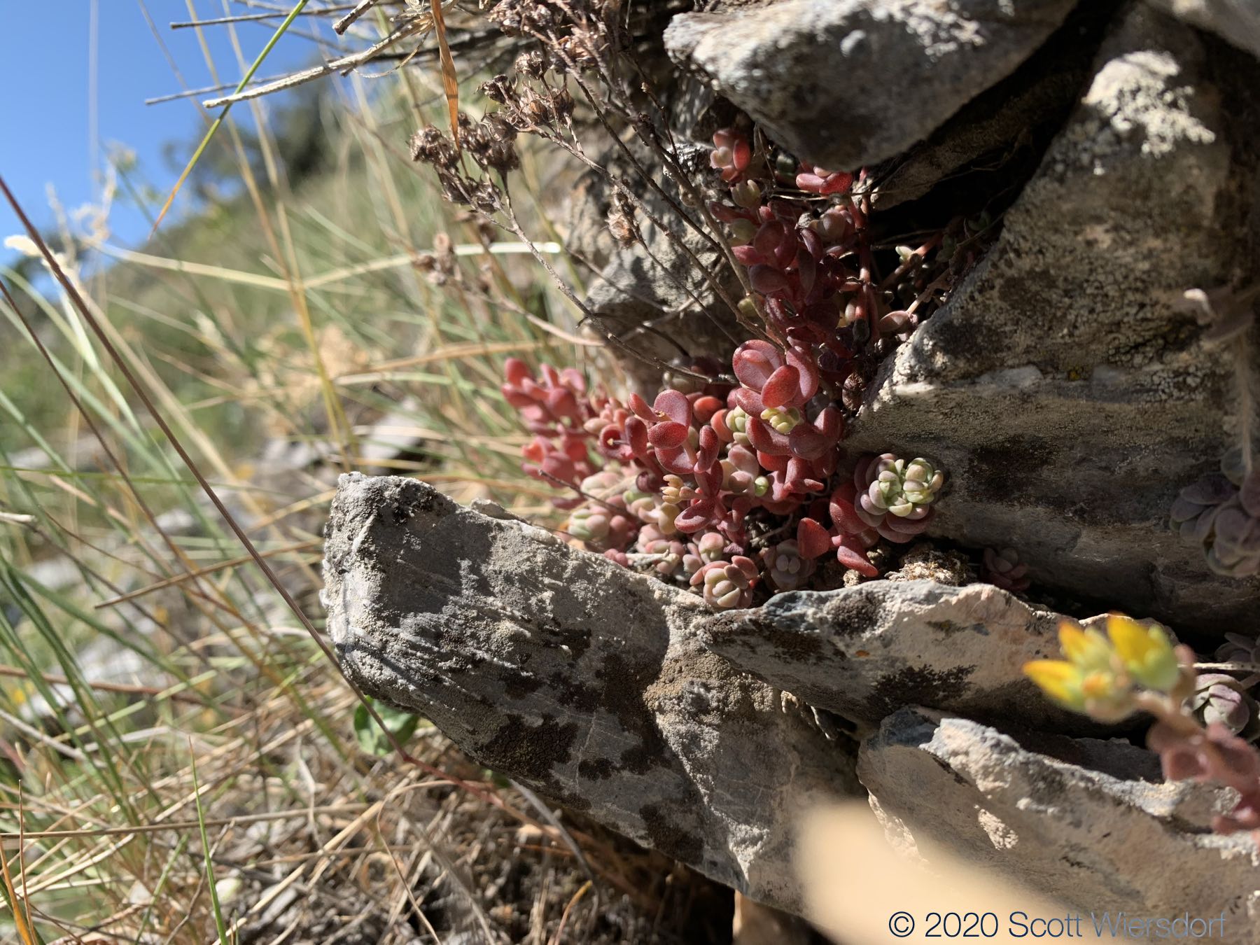
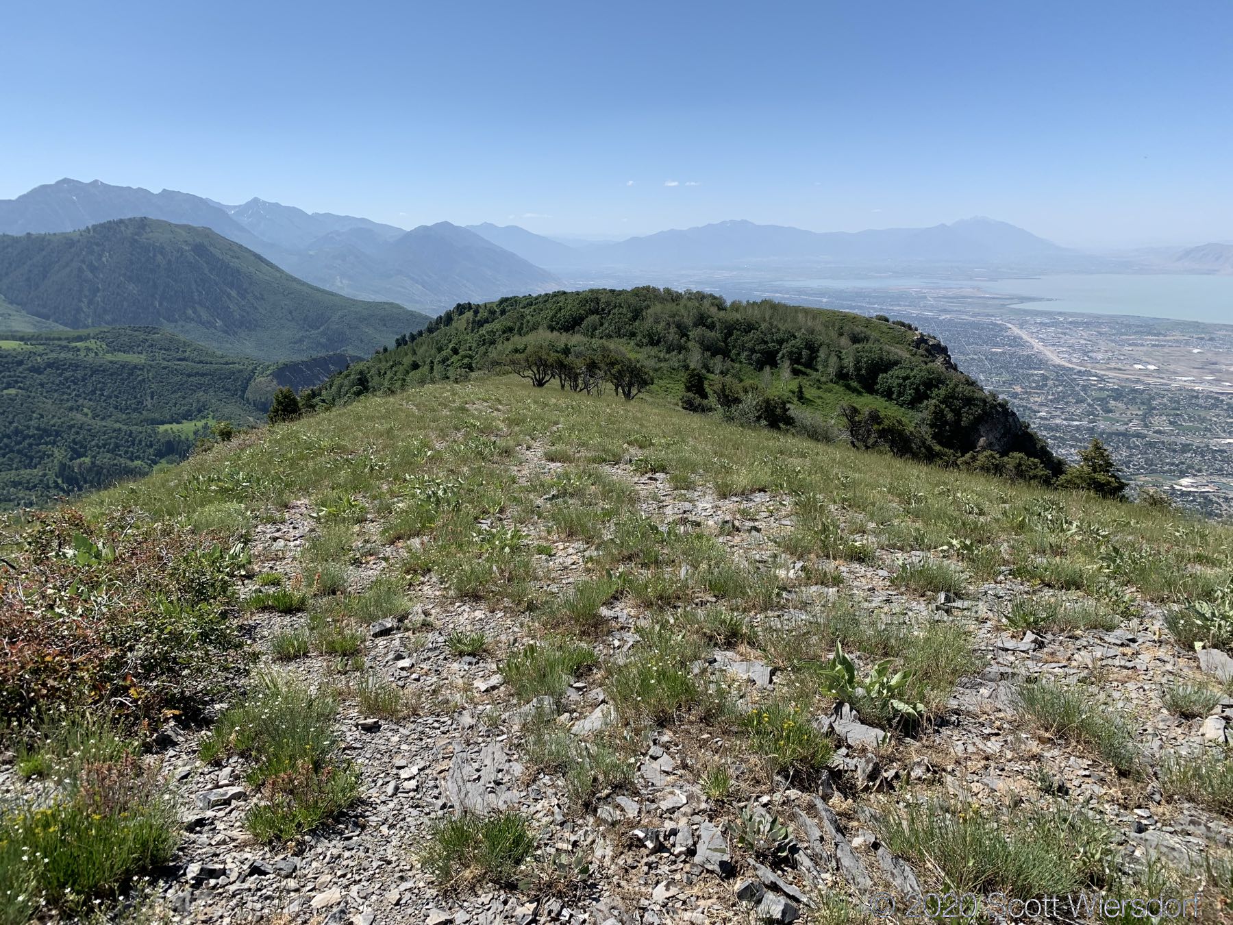
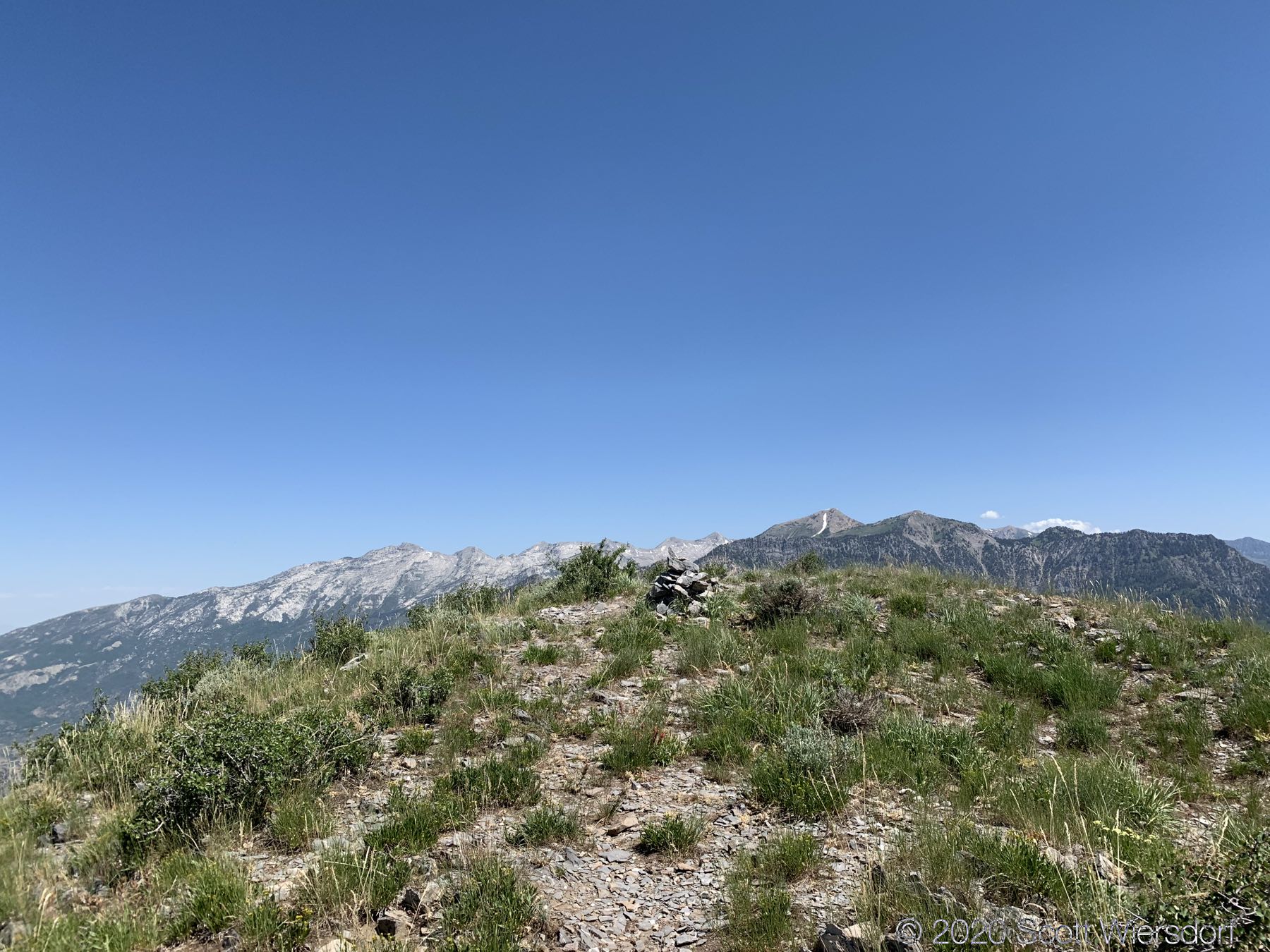
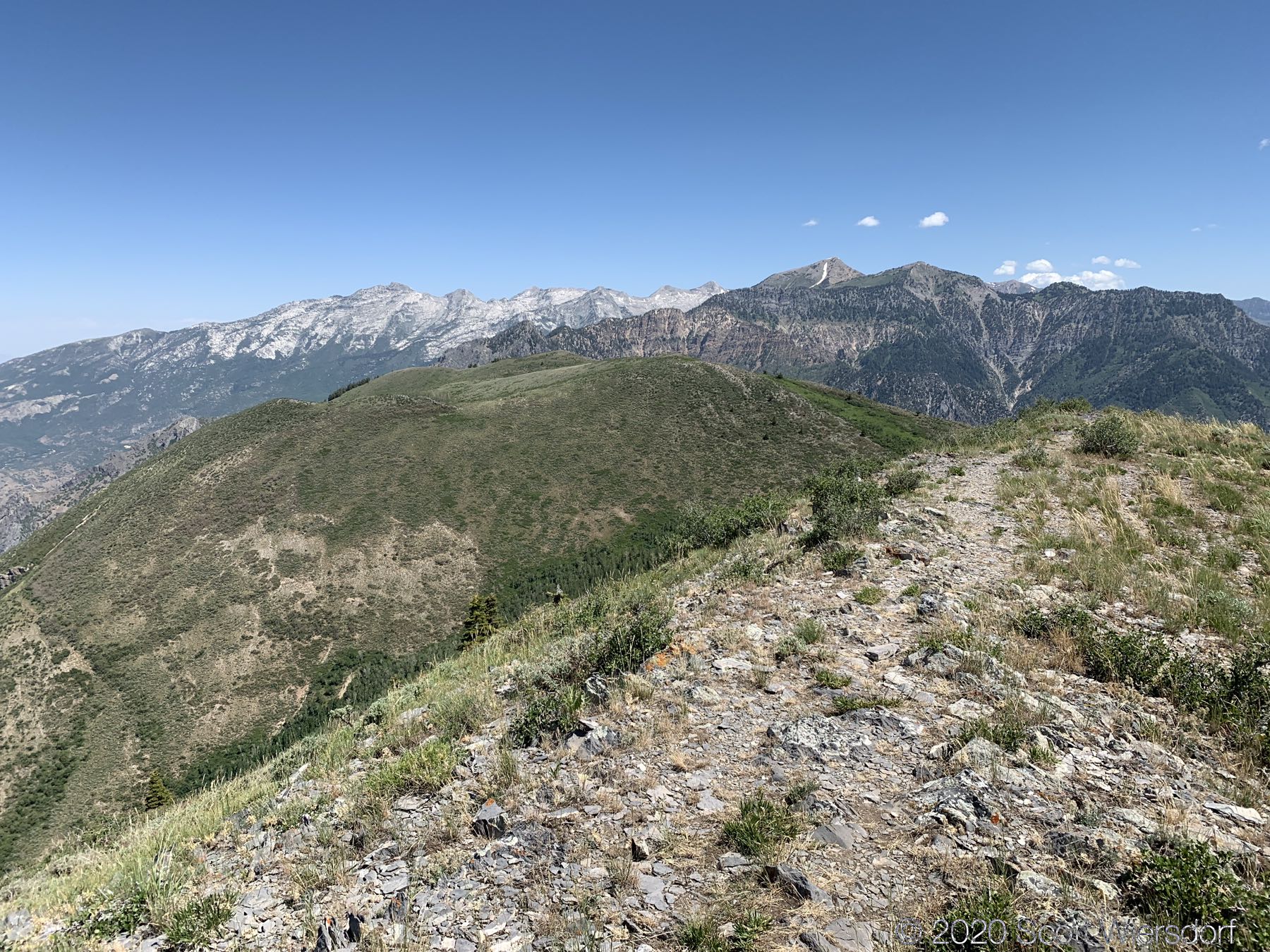
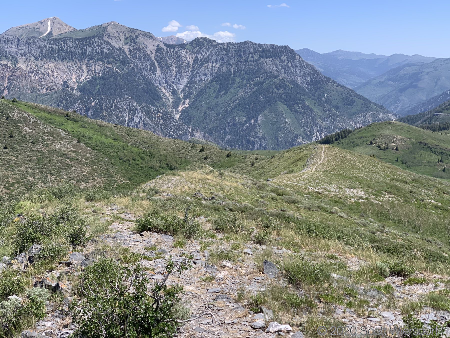
But there were some nice views at the top:


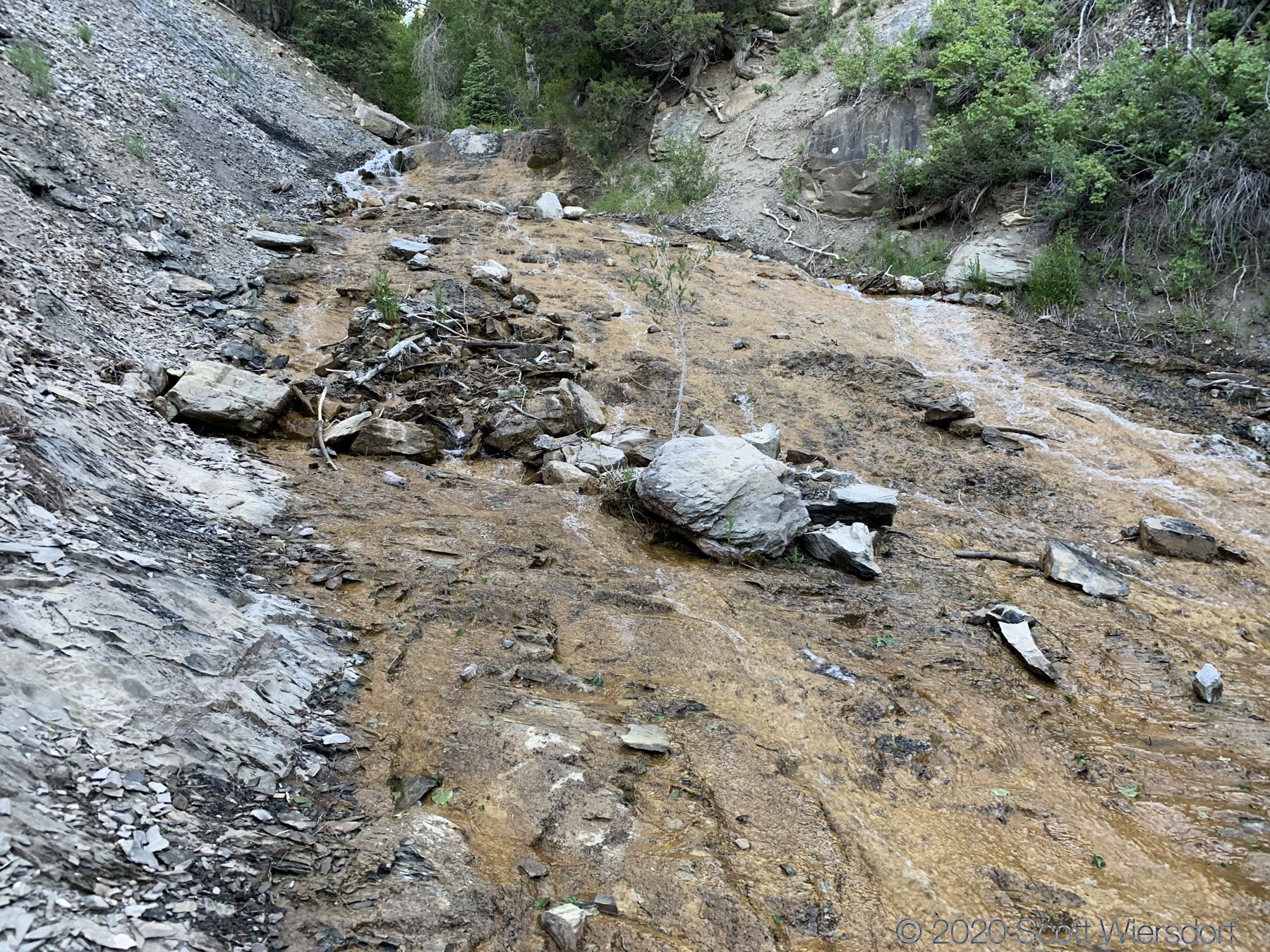
I left the saddle below the peak to the north east and followed a grassy slope about a mile down to where the USGS Topo map indicated the trail should have been. After a mile of grass, the terrain was all bramble (this is a shallow gully just west of Sagebrush Flat):
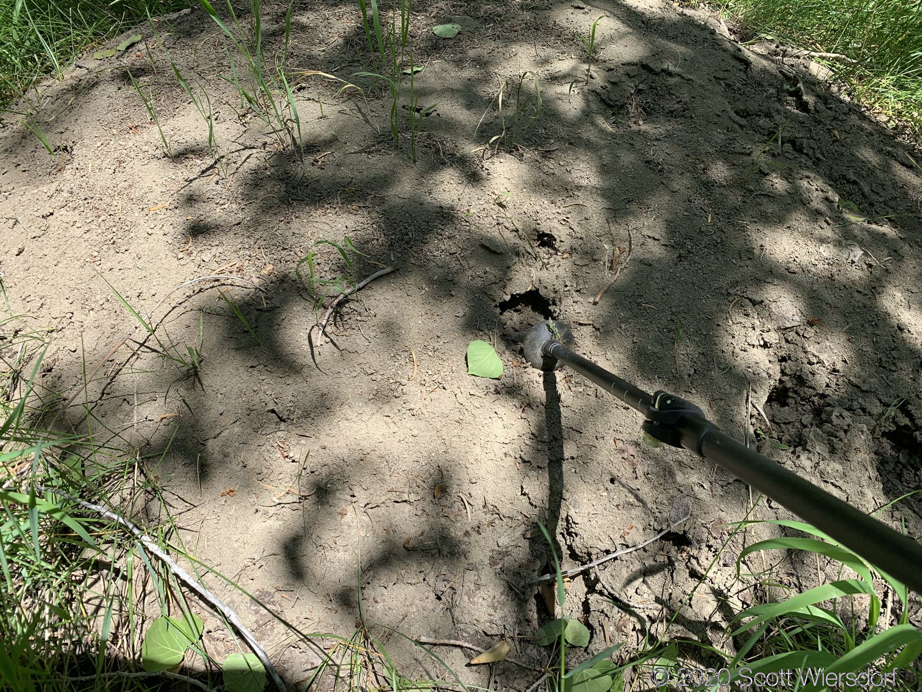
I found a large ant mount and poked it with my trekker pole in a few places. Ants poured out of every hole. This mound was about 8–10 feet in diameter:
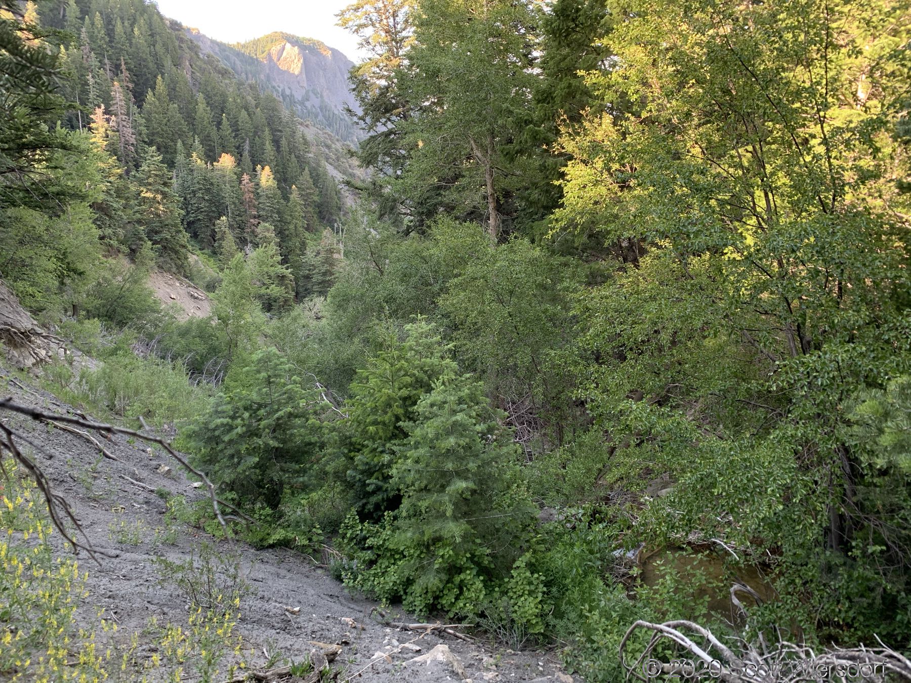
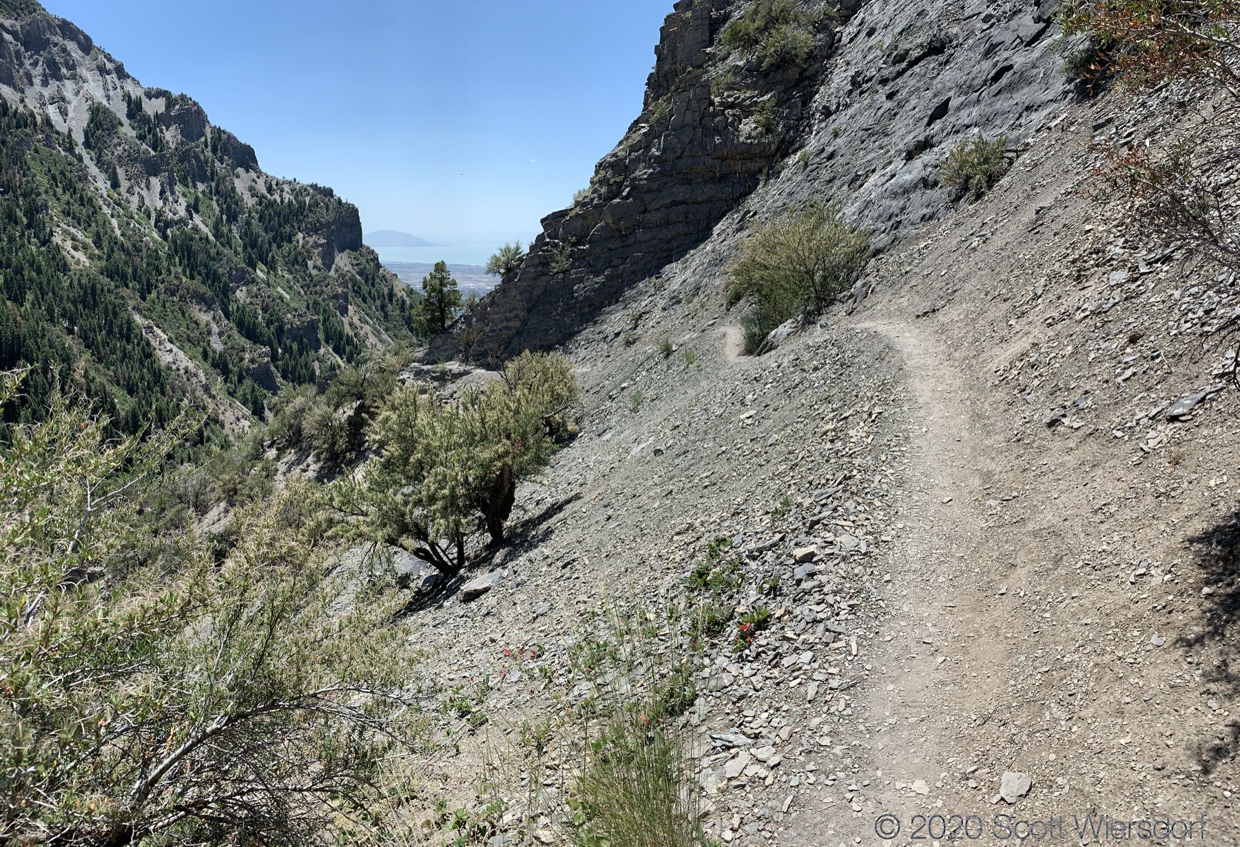
I was covered in abrasions all over my arms and legs in the end. I was happy to get back to the Grove Creek trail:
😛
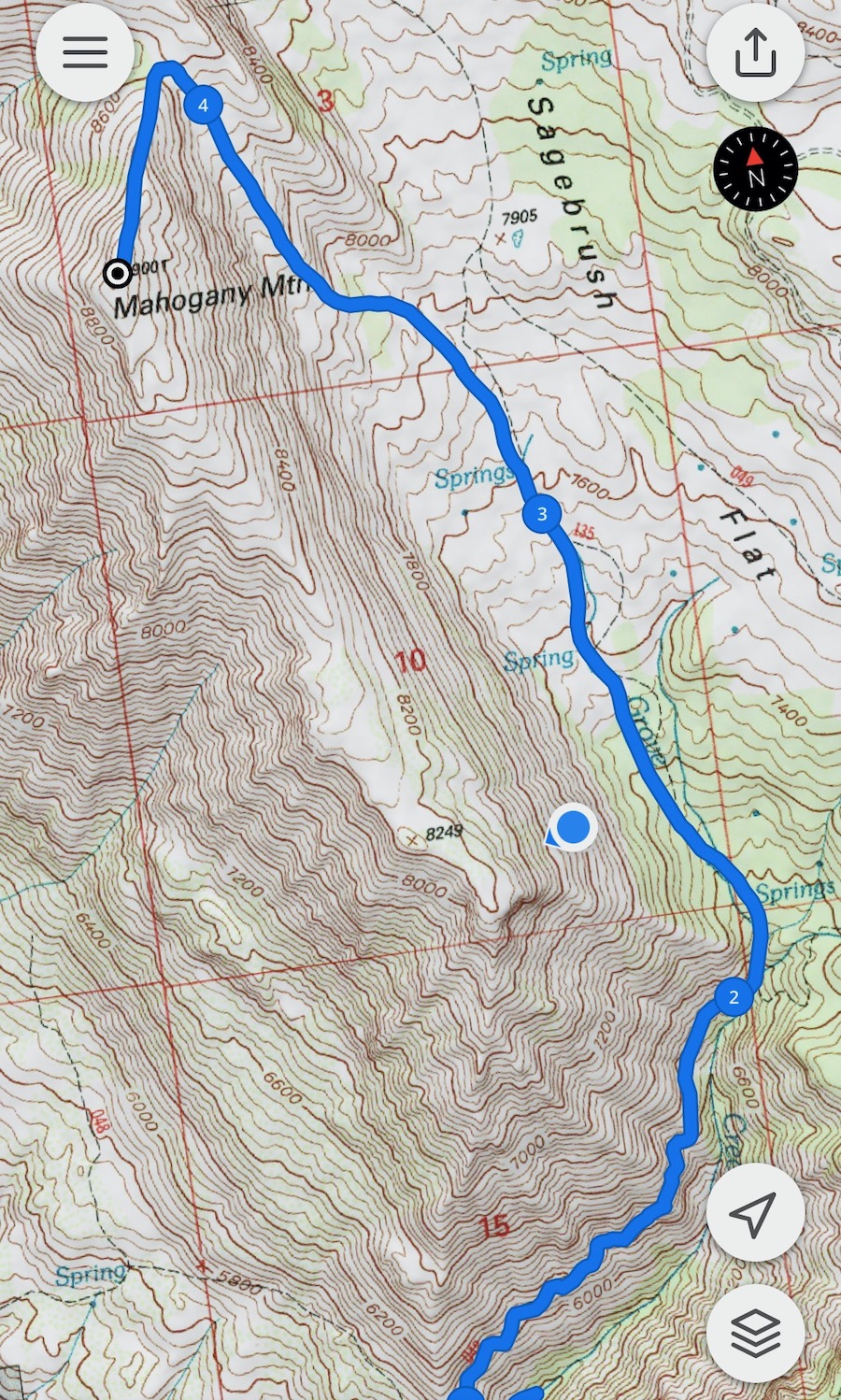
My GPX track (view on Footpath ).
Last modified on 2020-07-02