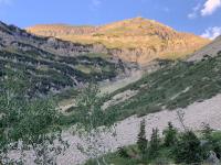
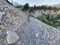
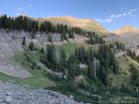
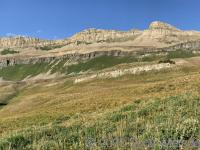
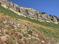
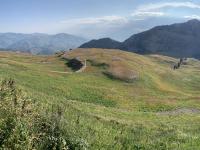
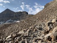
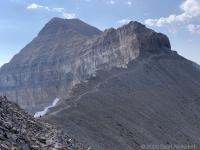
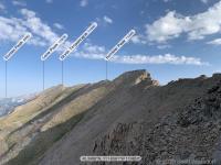
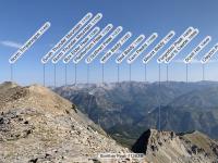
Last week’s hike of South Timpanogos made me curious about what lies north of the Timpanogos Saddle, so I figured I’d give it a try. I’ve been to the 1955 crash site some years ago, but don’t have any vivid memories of the area.
I also decided to take the Timpooneke trailhead instead of Aspen Grove. Having two Timp hikes back-to-back within a week under similar weather conditions gave me a great way to compare the two trails. In a nutshell, hiking Timpanogos via the Timpooneke trailhead:
- is a smoother, better maintained trail
- has a more consistent trail slope
- has considerably more shade in the morning to early afternoon
- has almost no water access later in the summer (based on August 2020)
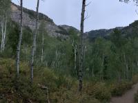
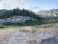
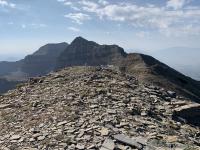
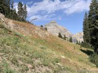
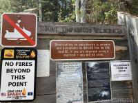
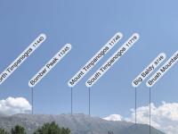
See below for the water problem. In the meantime, enjoy some photos:
On Water
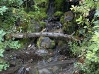
I was a little surprised at how little water there was on the Timpooneke trail. The only accessible water (as of mid-August 2020—a long, hot, dry summer) was between mile 1 and mile 2 where the switchbacks cross two little streams a few times. Once you make that last crossing, you’d better have enough water with you.
Your only other option would be to take a .8 mile detour at the bottom of Timpanogos Basin over to Emerald Lake, fill up, then traverse back and join the trail just below the saddle.
I saw several groups and individuals who looked like they were about to pass out at mile 4, carrying a little 16 oz. water bottle with them.
TERT recommends (at this time of year) at least a gallon of water if you’re going to summit. Last week from the Aspen Grove trailhead approach I drank about 5 liters and was still dehydrated by the time I got to the bottom.
My GPX track (view on Footpath ).
Other Links
Last modified on 2020-08-25
