This week’s hike was back at Alta. Last year I was thwarted in my attempt to get past Devil’s Castle going east and I thought it might be a good time of year to come at Old Scratch from the east side going west.
I paid the $10 to drive on the Albion Basin Road and parked just below the main campground. Parking was also available at the Catherine Pass trailhead.
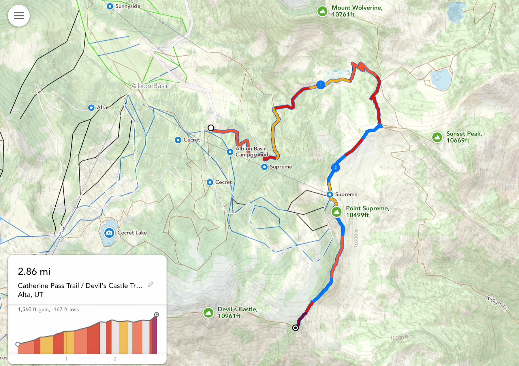
My planned route:
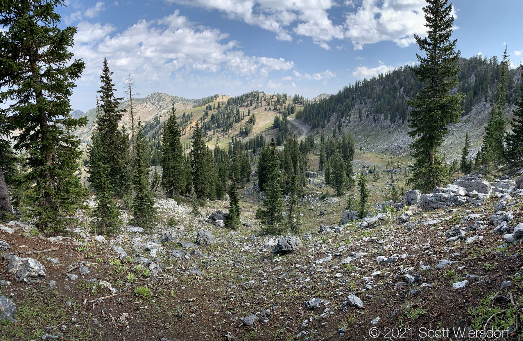
I don’t recall ever starting a hike from the Albion Basin Campground before, so I wandered through the campground for a moment before finding the road I was looking for. The road takes you past Alta’s Supreme Lift:

These usually wait until I’m a foot or two away (and I can’t see them), before they scatter off with a big noise and I’m left needing a change of underwear:
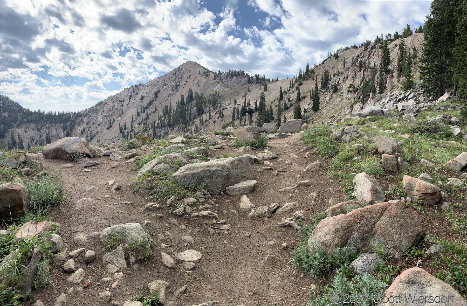
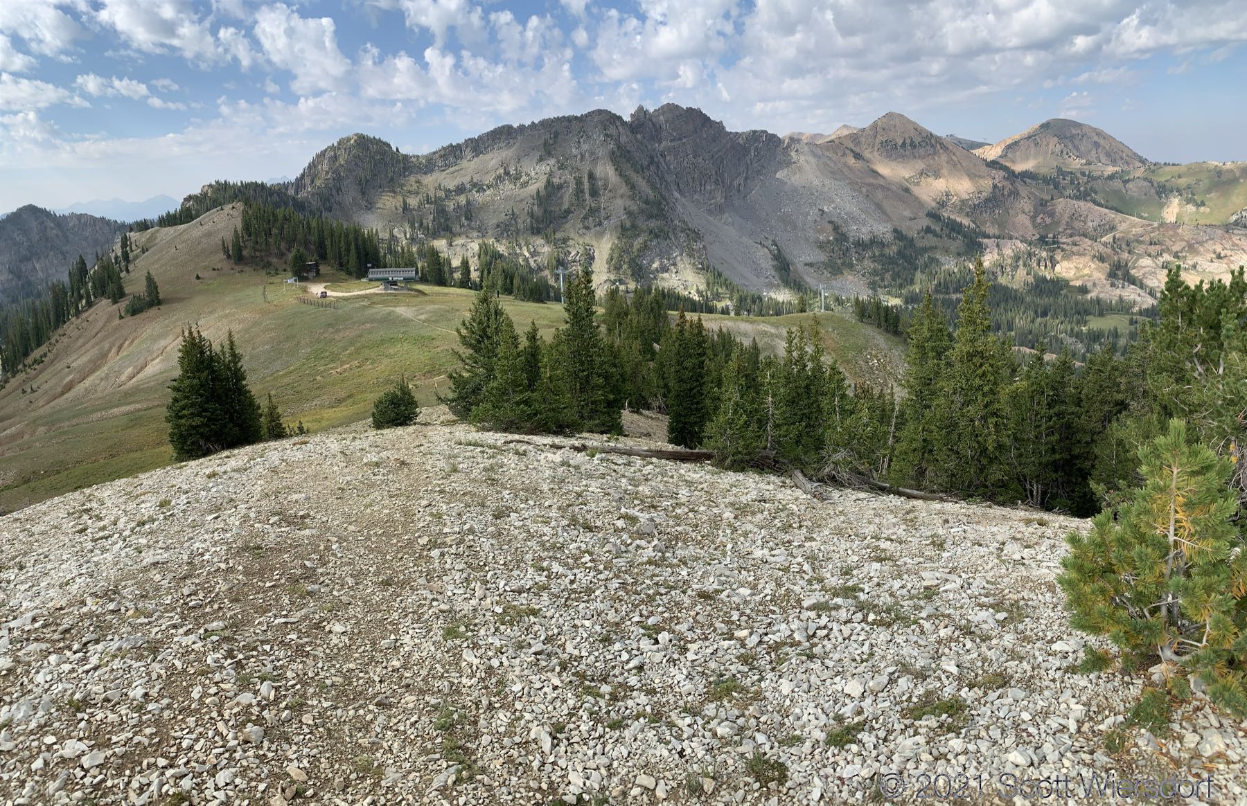
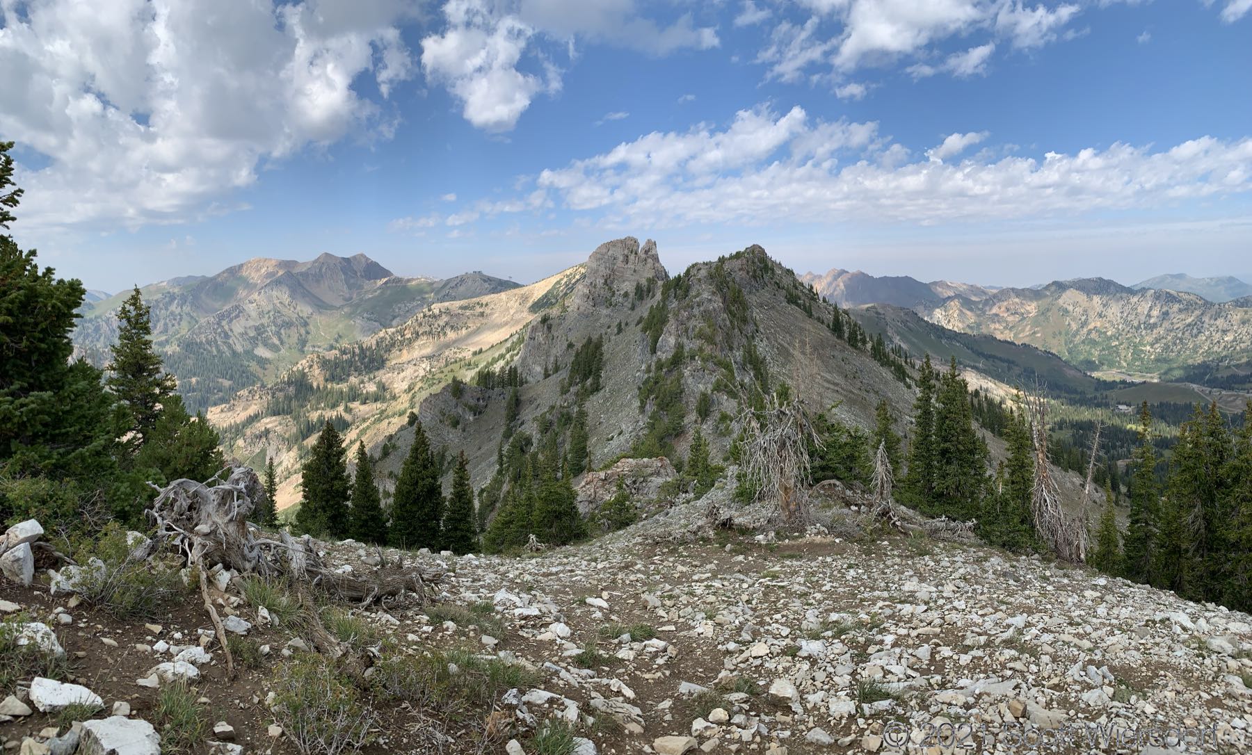
My intended destination:
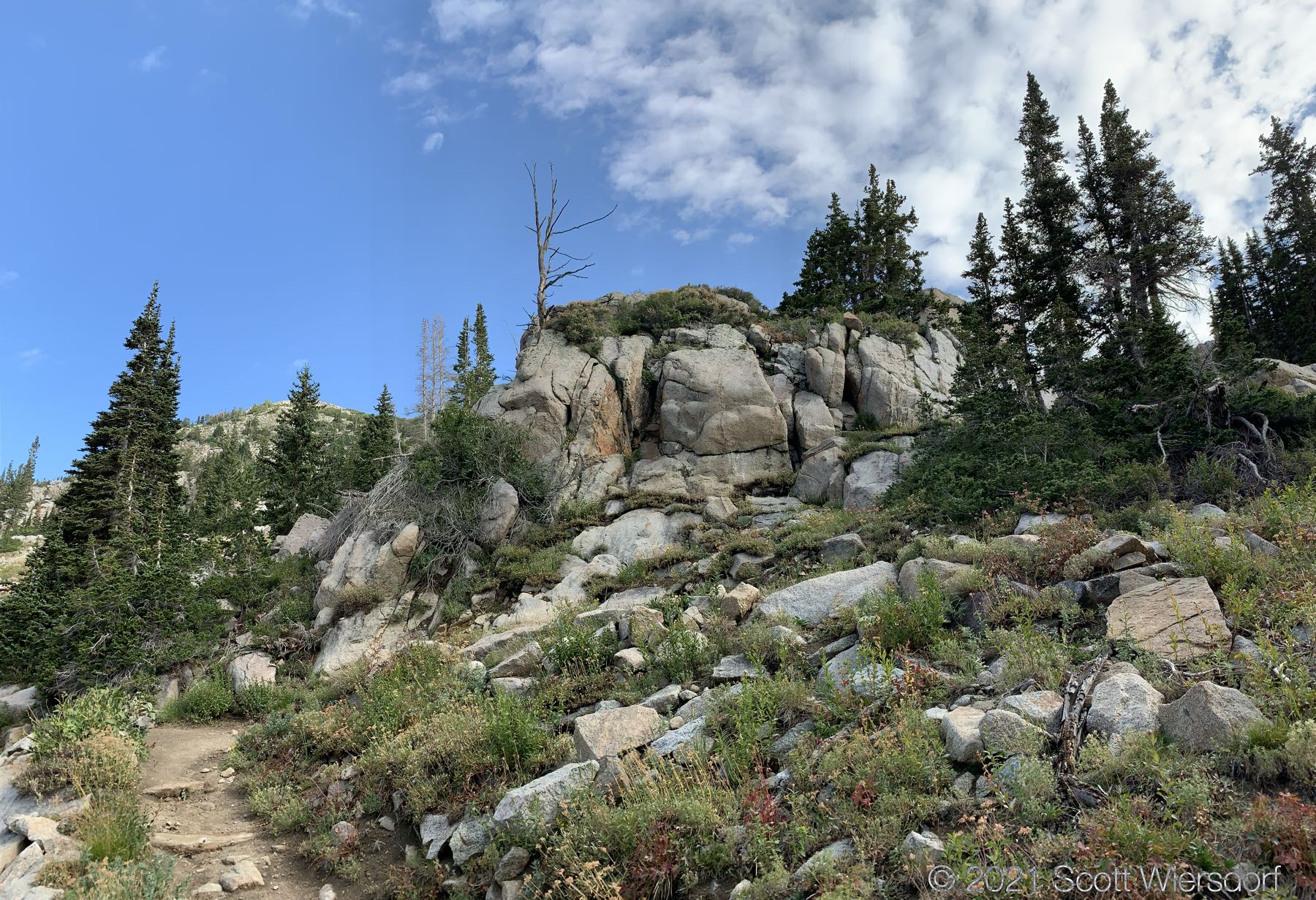
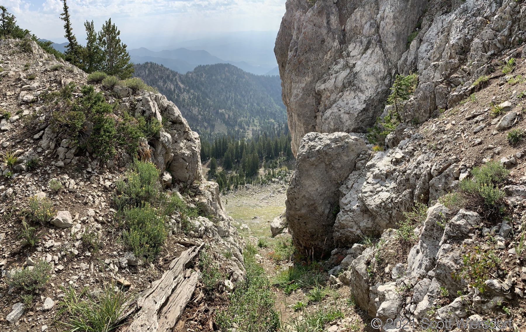
Past Point Supreme, the remaining quarter mile or so was pretty rough going: lots of scrambling and feet off the ground.

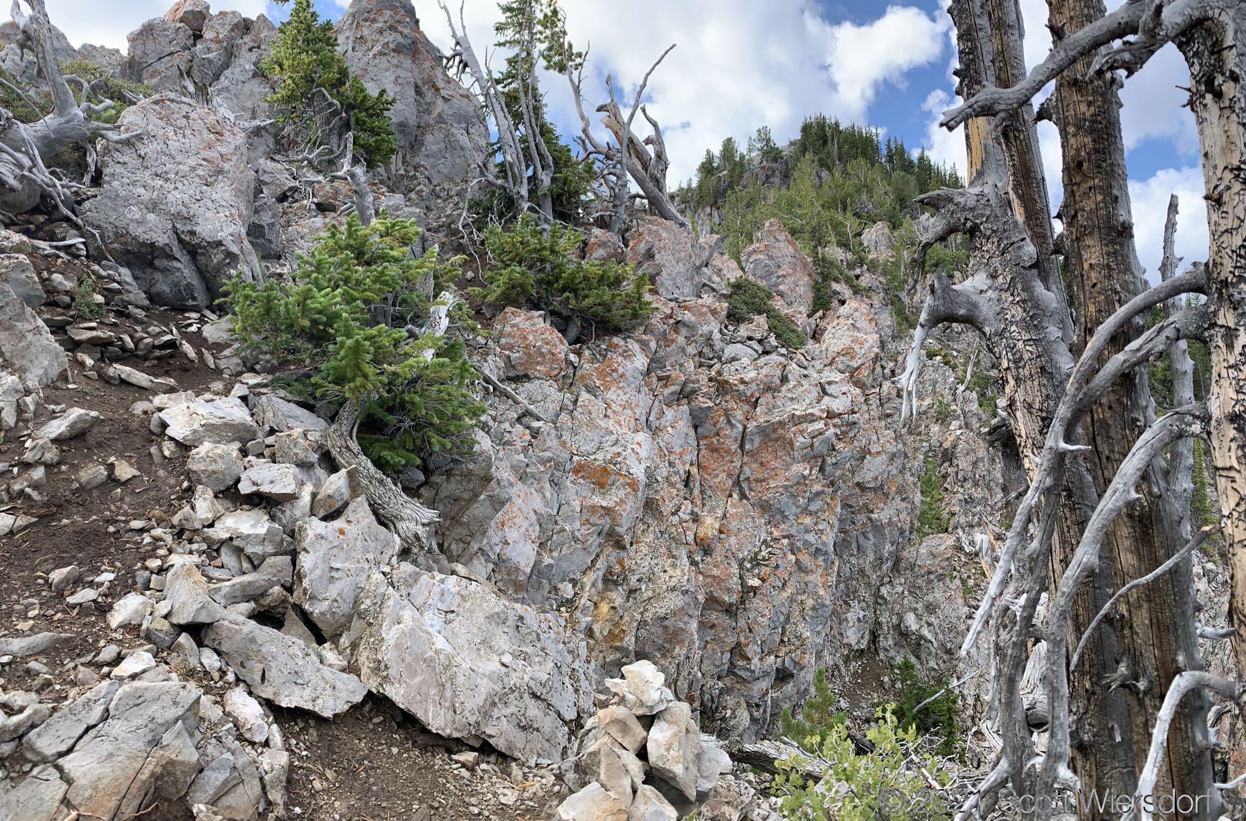
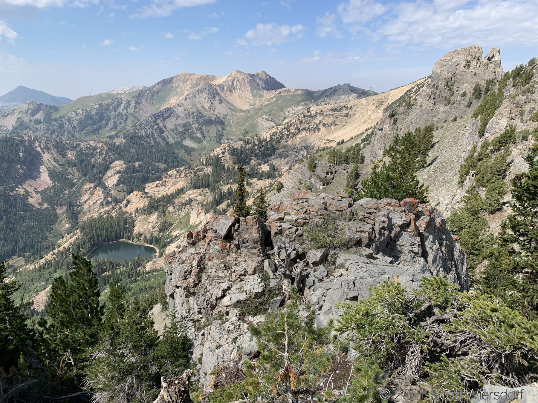
So close, yet so far. The cairn (bottom center) is hard to see clearly here, but indicated to drop off the ridge and go around this particular section of ridge.
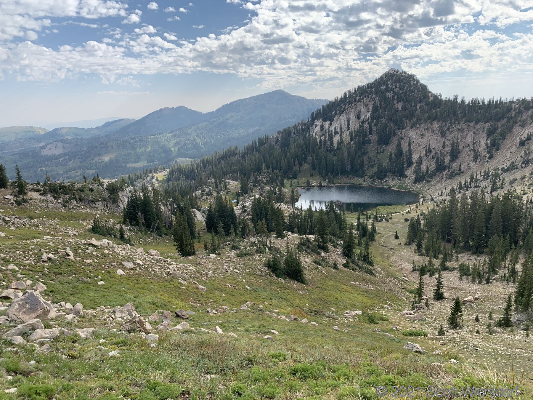
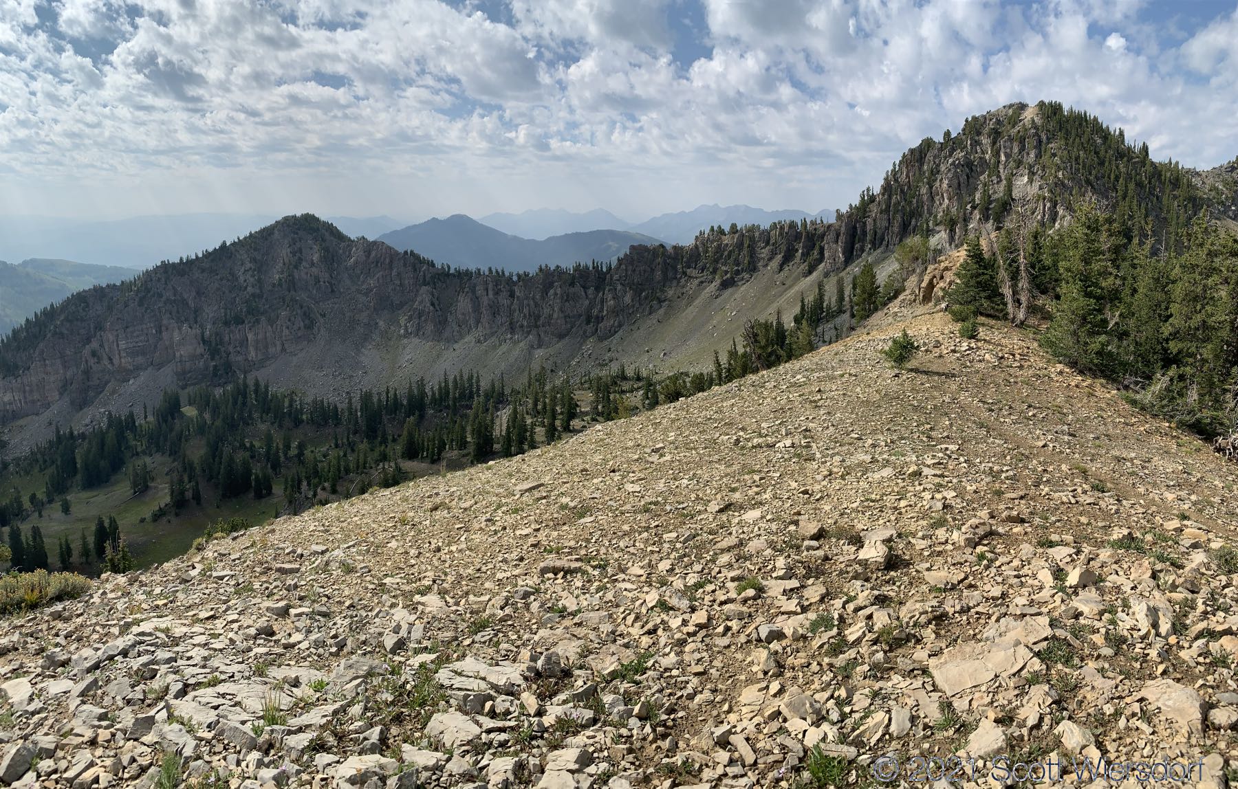
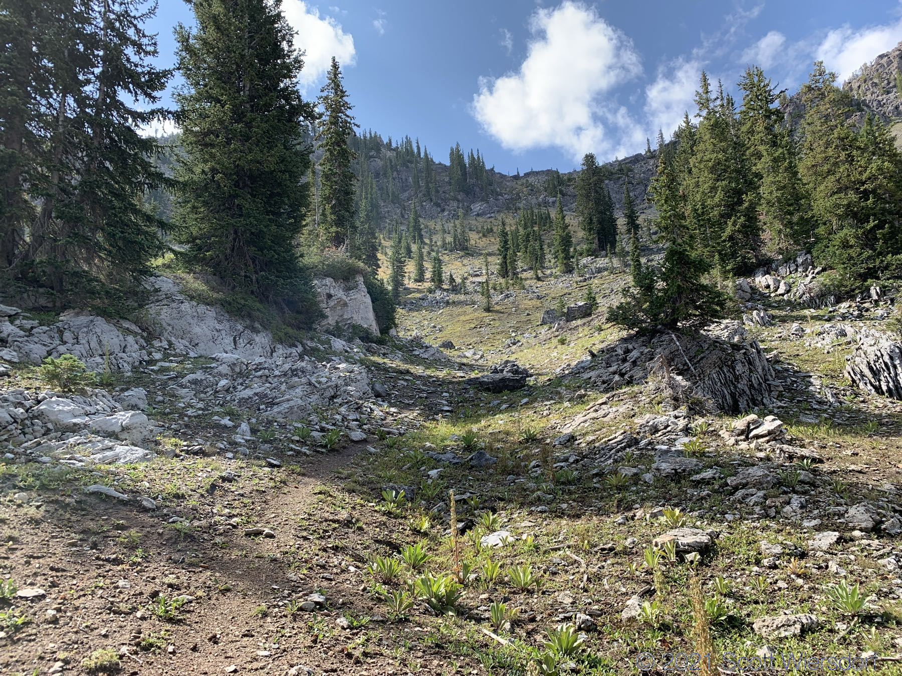
The last few hundred feet weren’t too bad, and the views are always good at this elevation.
I made it to my destination and toyed with the idea of going further along the ridge to East Castle but decided against it. I came down a smooth area between Eagle Peak and East Castle.
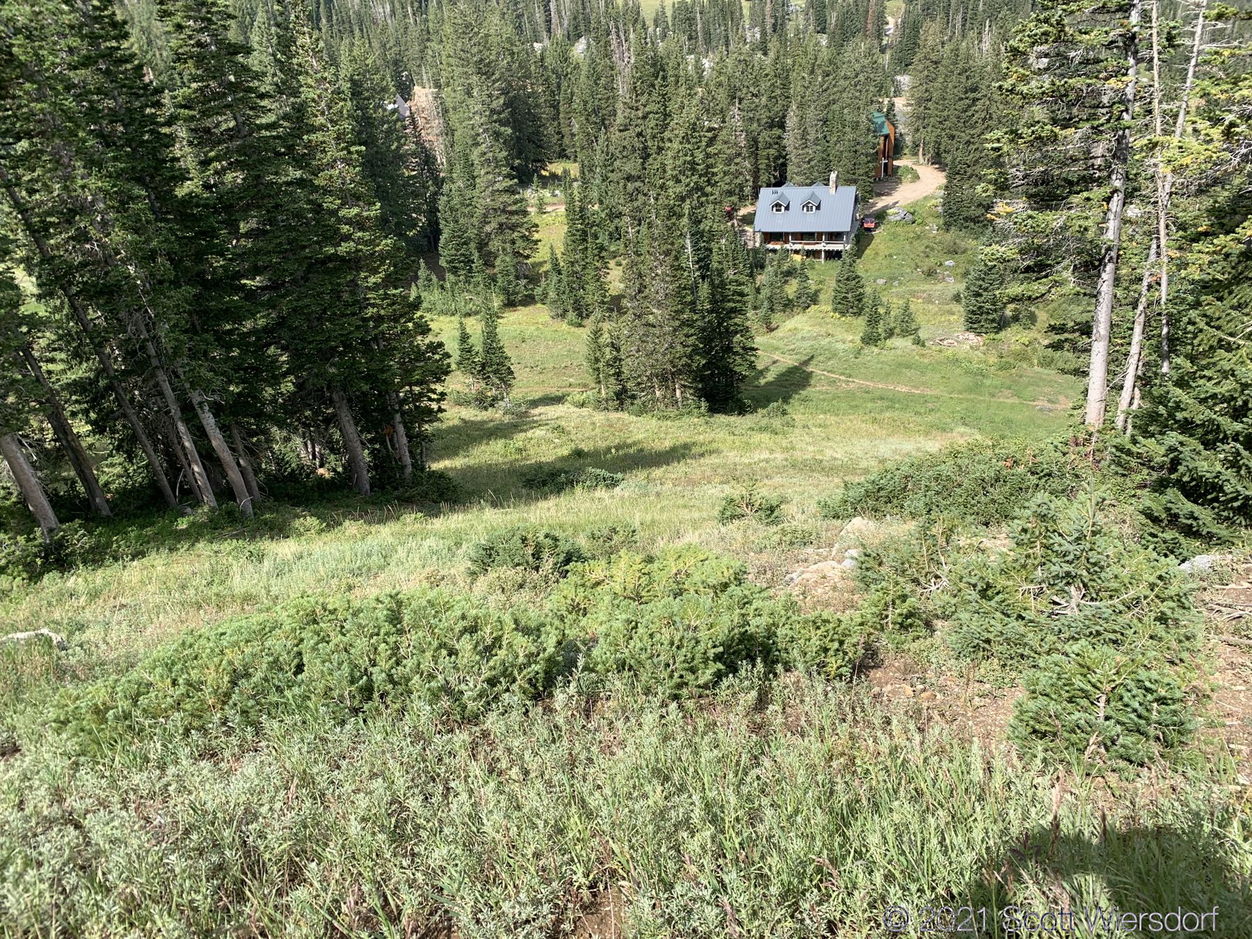
I passed Vicky’s on the way down—one of my favorite bump runs at Alta:
I have a panorama video that’s not finished yet. If I ever finish it, I’ll update it here.
My GPX track (view on Footpath ).
Last modified on 2021-08-26