A couple of weeks ago my brother Jason asked if I wanted to go backpacking with him (duh), so we looked at a few places to go and settled on Four Lakes Basin which is just off the Highline Trail at the western edge of the High Uintas Wilderness Area .
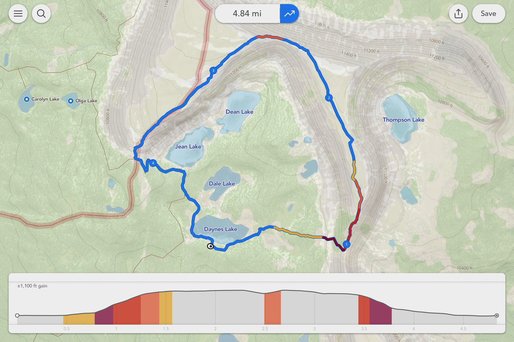
The next day we decided to hike the rim above Four Lakes Basin taking this route:
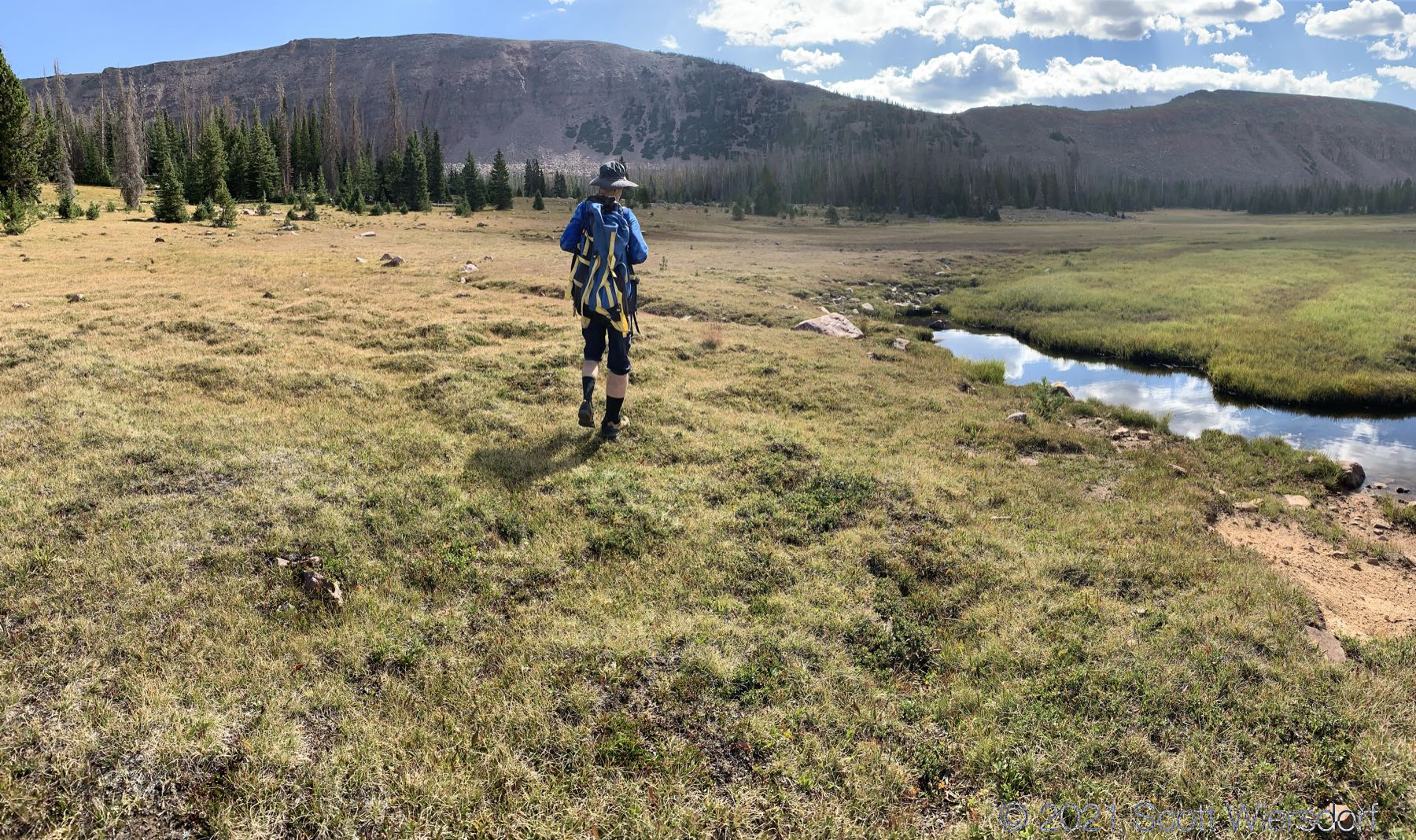
Our first waypoint was Cyclone Pass, visible here as the lowest point on the ridge ahead of us to the east:
Our approach was more or less straight up the moraine from the meadow to the pass. Just as we neared the top we saw a trail that came from the south of the pass that we could have taken but it was mostly loose dirt and gravel (our route was all rock).
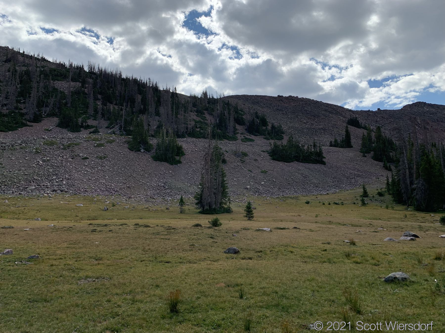
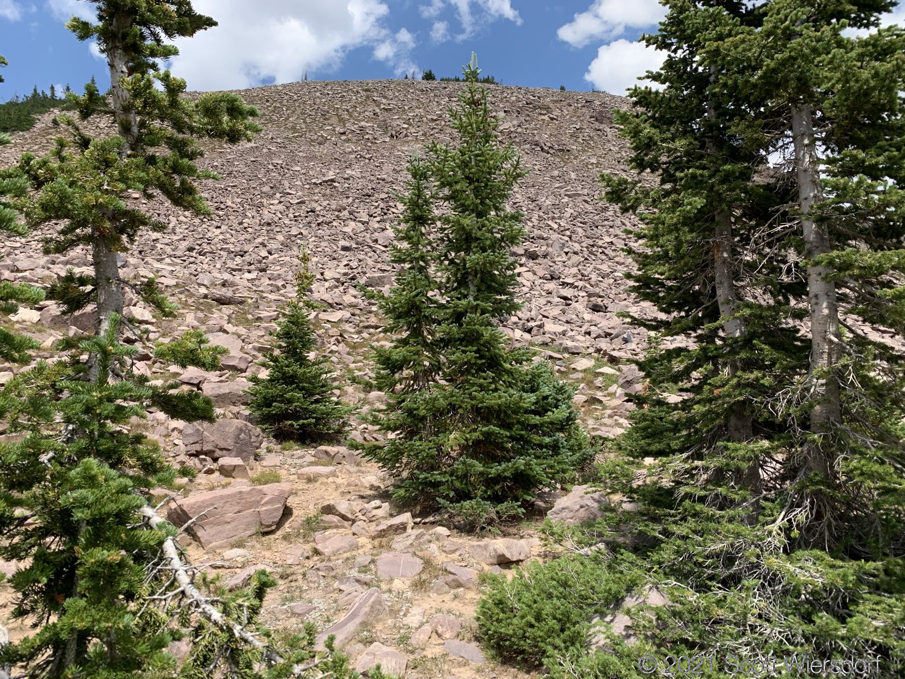
About halfway up the rim is a glacial moraine:
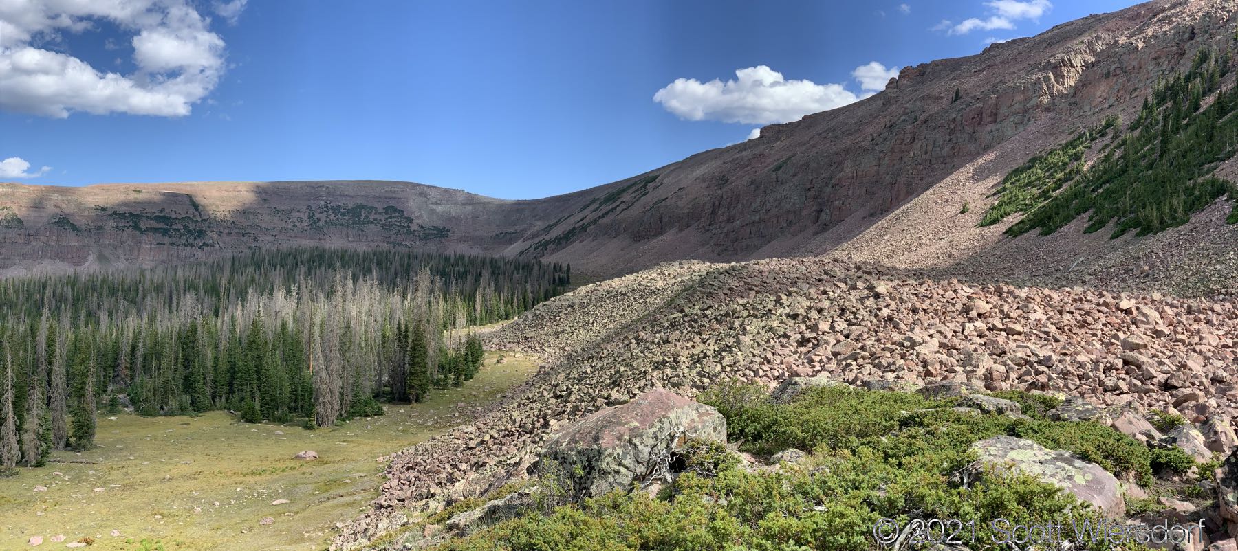
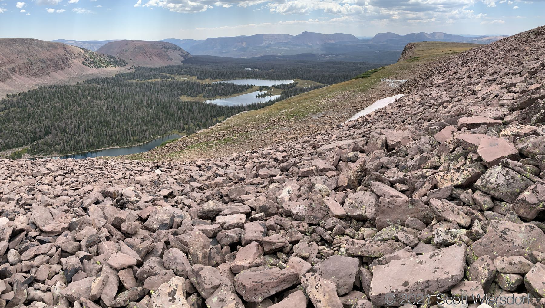
Panorama from the moraine elevation:
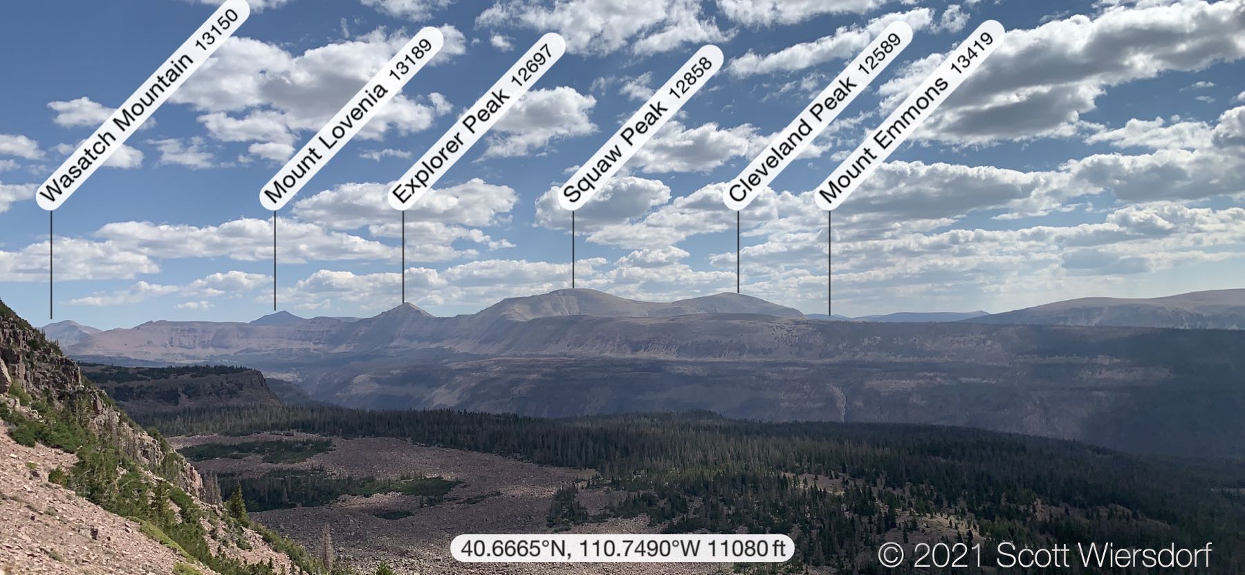
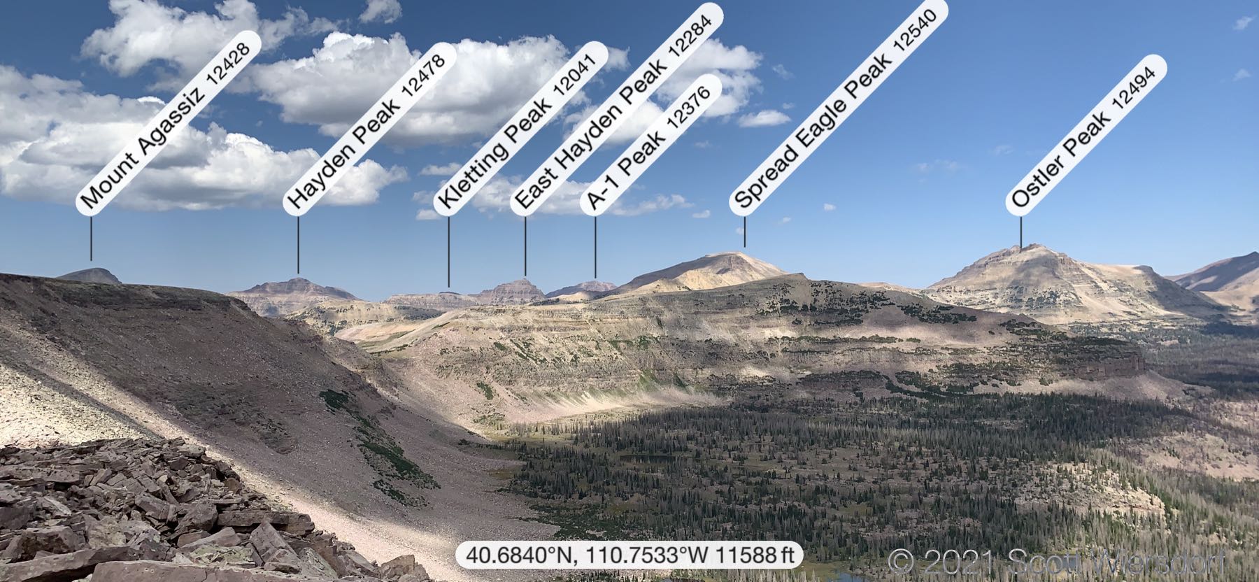
Once at Cyclone Pass you have a good view of peaks to the east:
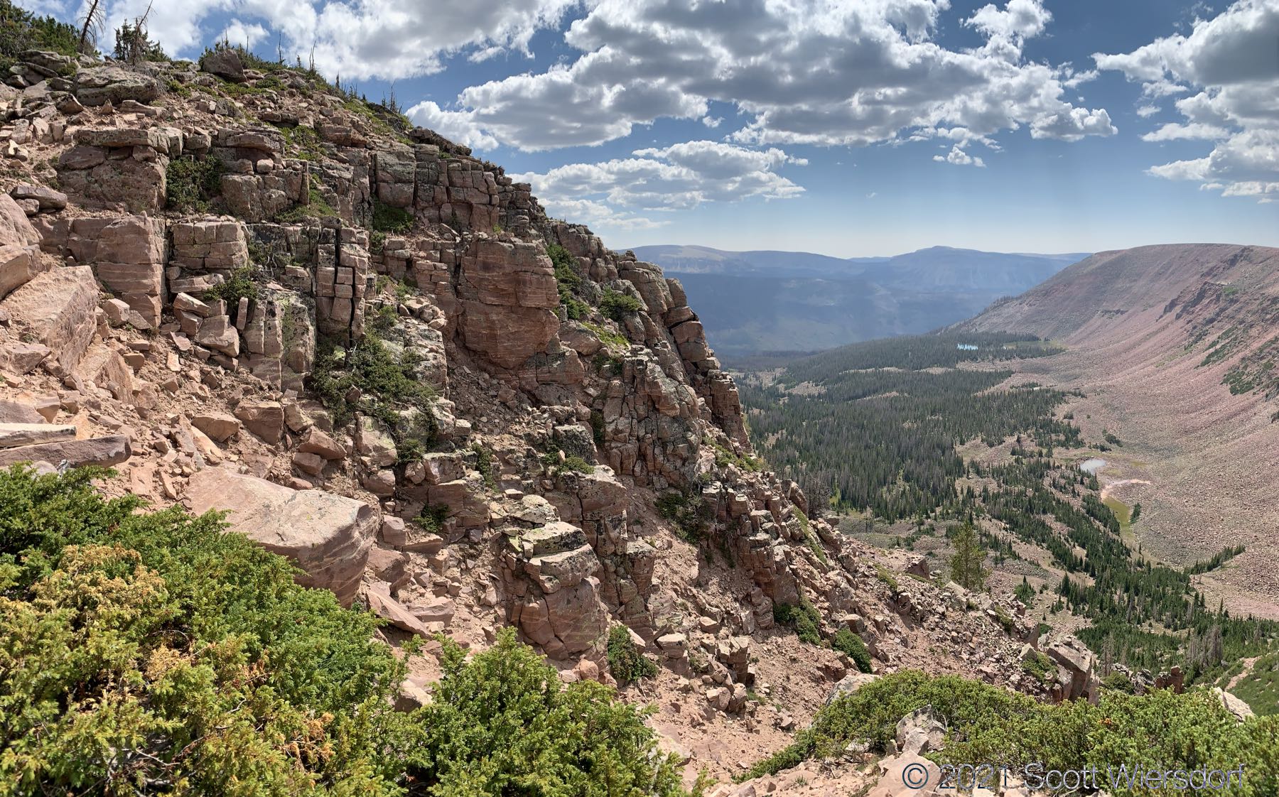
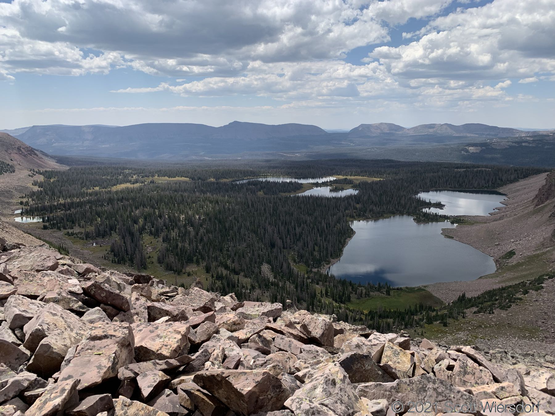
Views of lower Rock Creek Basin:
Someone built a little rock shelter; it won’t pass code, but it has great views:
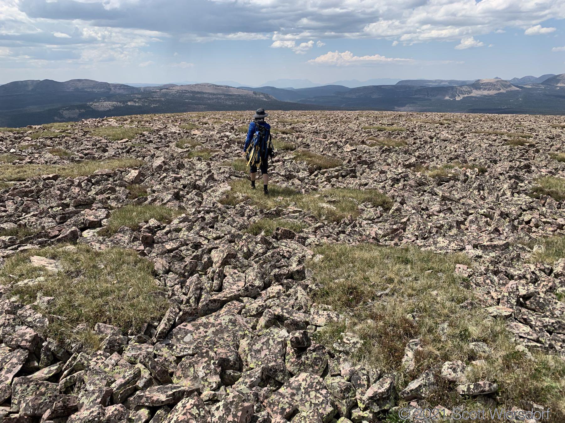
A few hundred feet more vertical up the ridge gives you the rest of your elevation gains on the rim (there are a few dozen feet lost and regained along the ridge but nothing significant). It levels off enough you could almost put a soccer field on top:
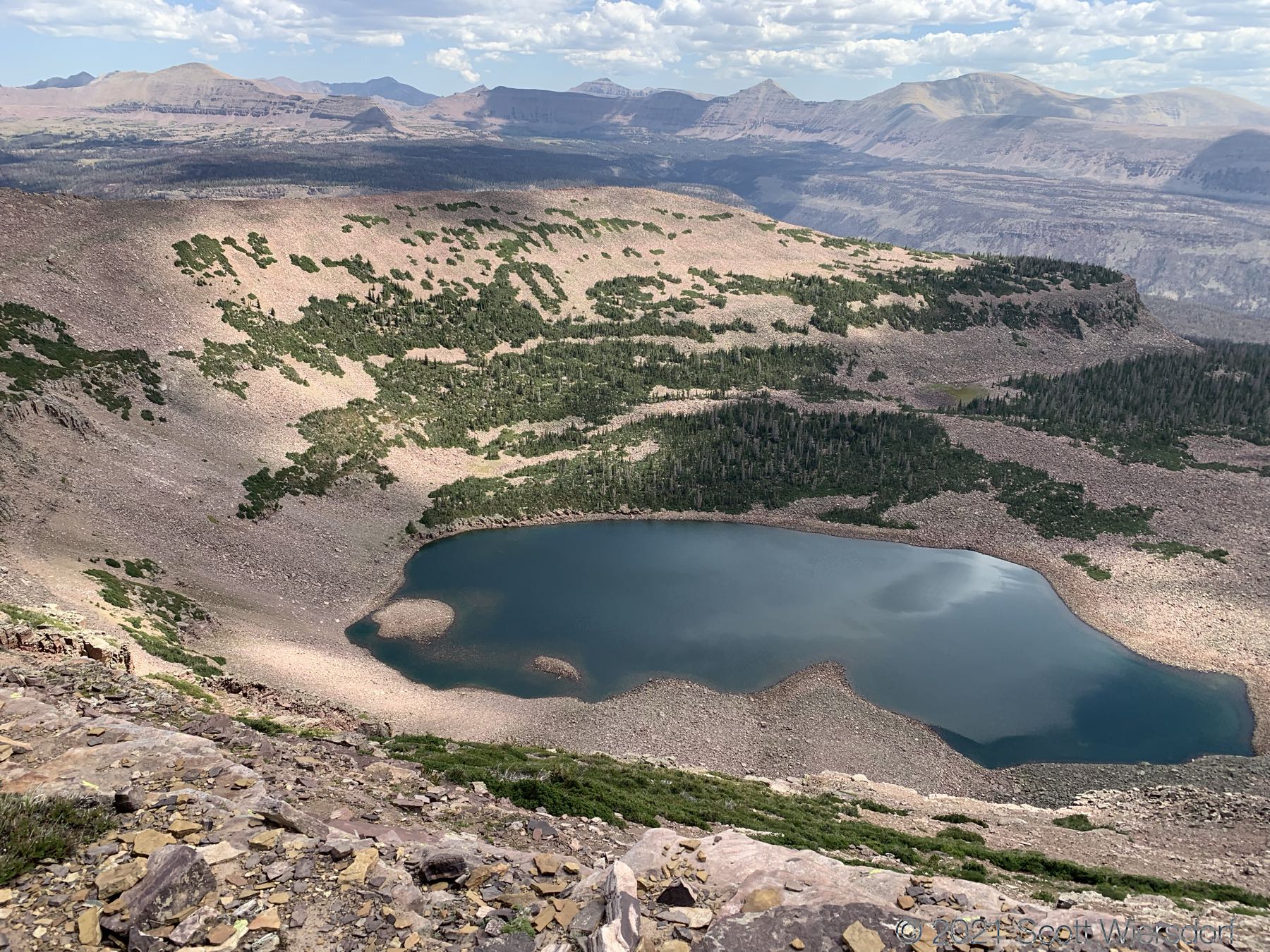
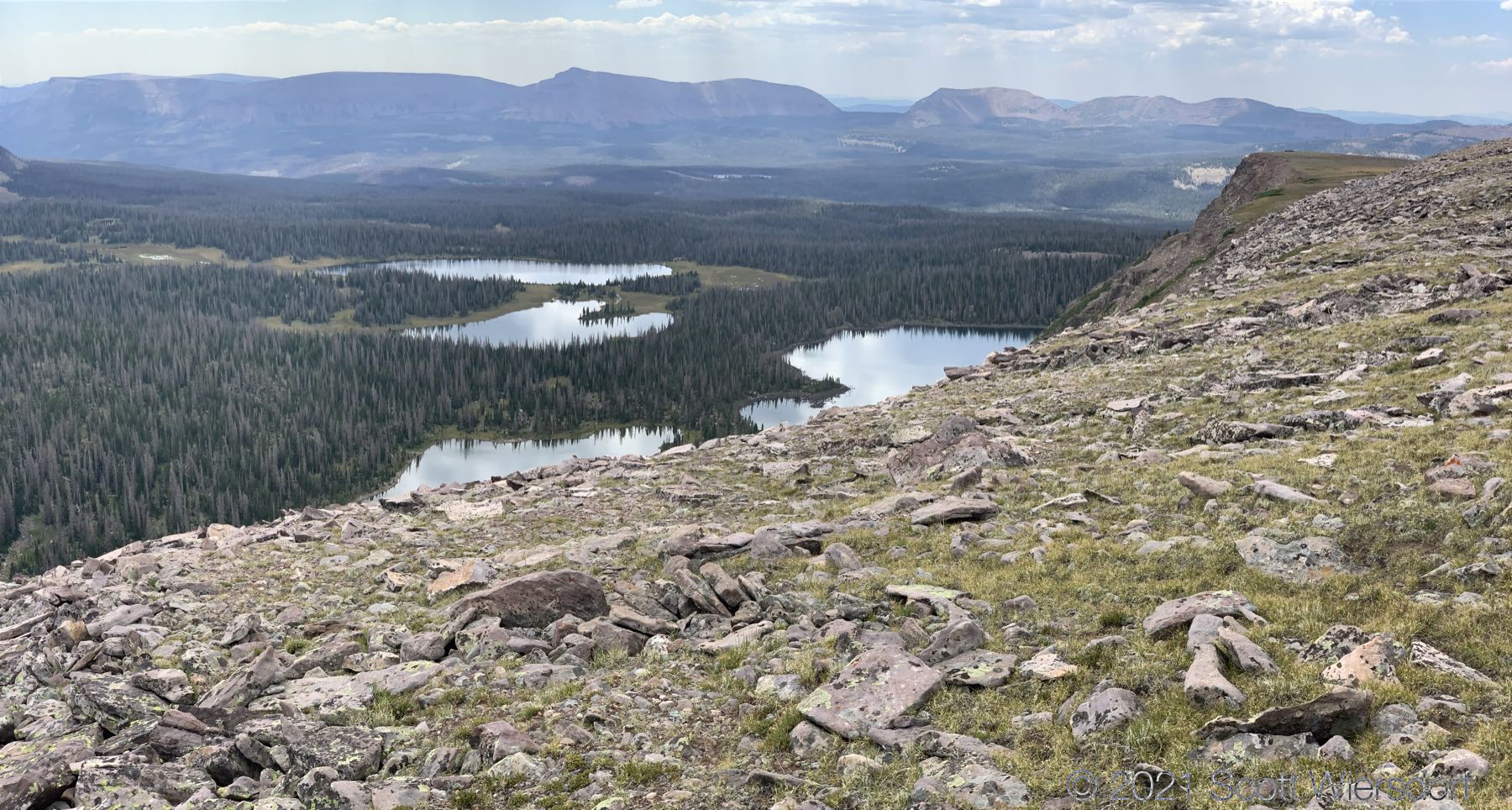
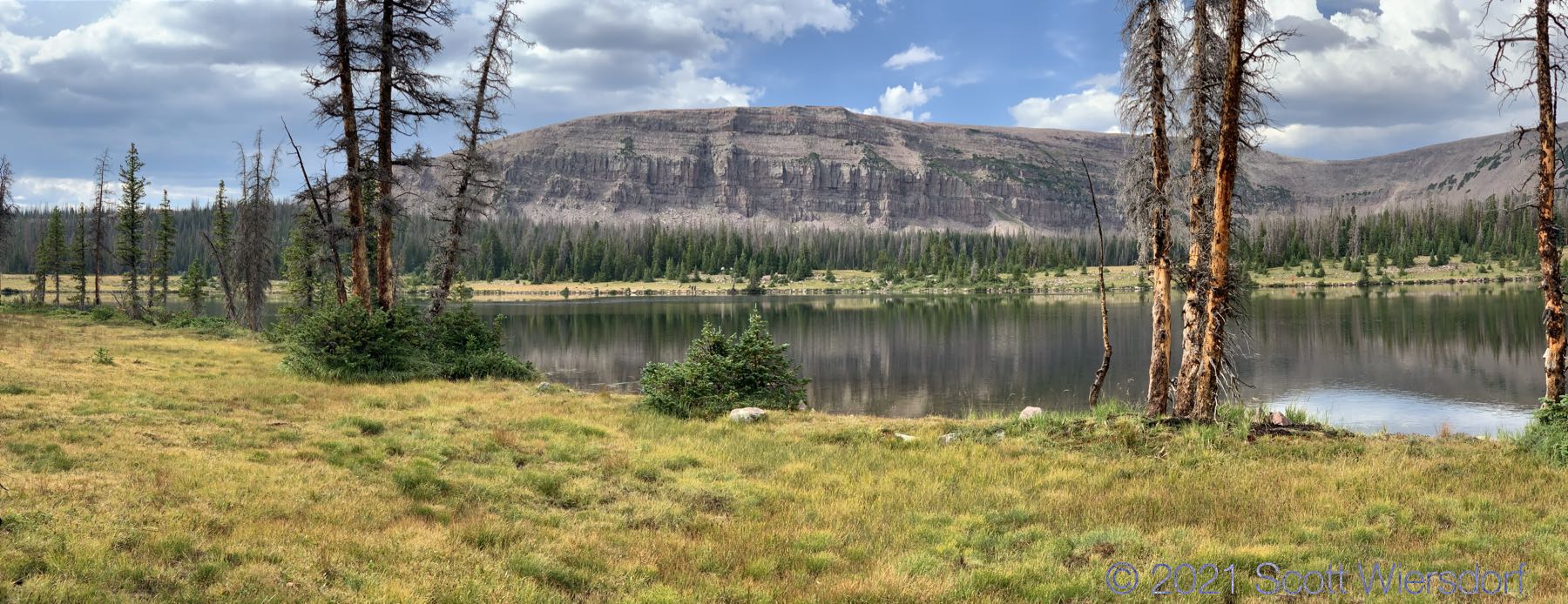
Looking east from the ridge you have a nice view of Thompson Lake:
The Thompson Lake basin on the other side of Cyclone Pass looked unhospitable to camping unless you had a hammock or something you could keep off the rocky ground. It didn’t look like there was anywhere flat or smooth to pitch a tent.
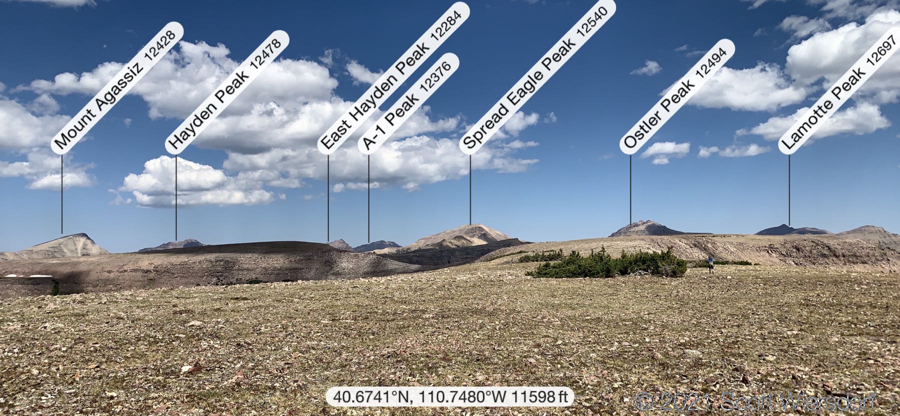
Further along the ridge you have clear views of Rock Creek Basin and Rocky Sea Pass to the north. Rocky Sea Pass and the Highline trail are just visible on the slope between and below Hayden and Kletting Peaks:
Turning south you see Four Lakes Basin just below and Grandaddy Basin a few miles away:
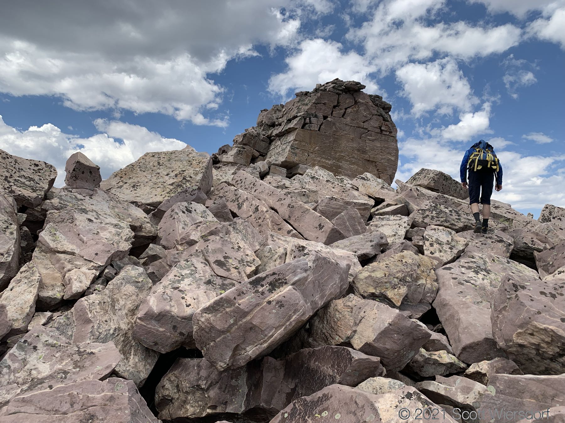
Once you cross the saddle between the north-south running ridge and the east-west running ridge is a large unbroken rock that could provide a lot of shelter in a storm. The saddle between the ridges is a lot of boulder-hopping:
Moving west along the ridge, the ground begins to broaden again and slopes away to the south into Four Lakes Basin:
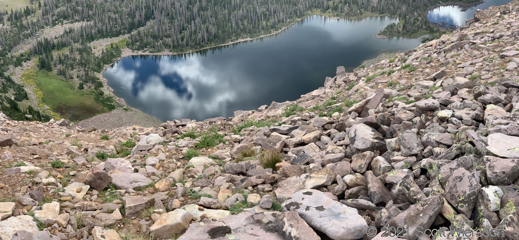
All of the lakes were bubbling with fish; Dean Lake below (click photo to enlarge):
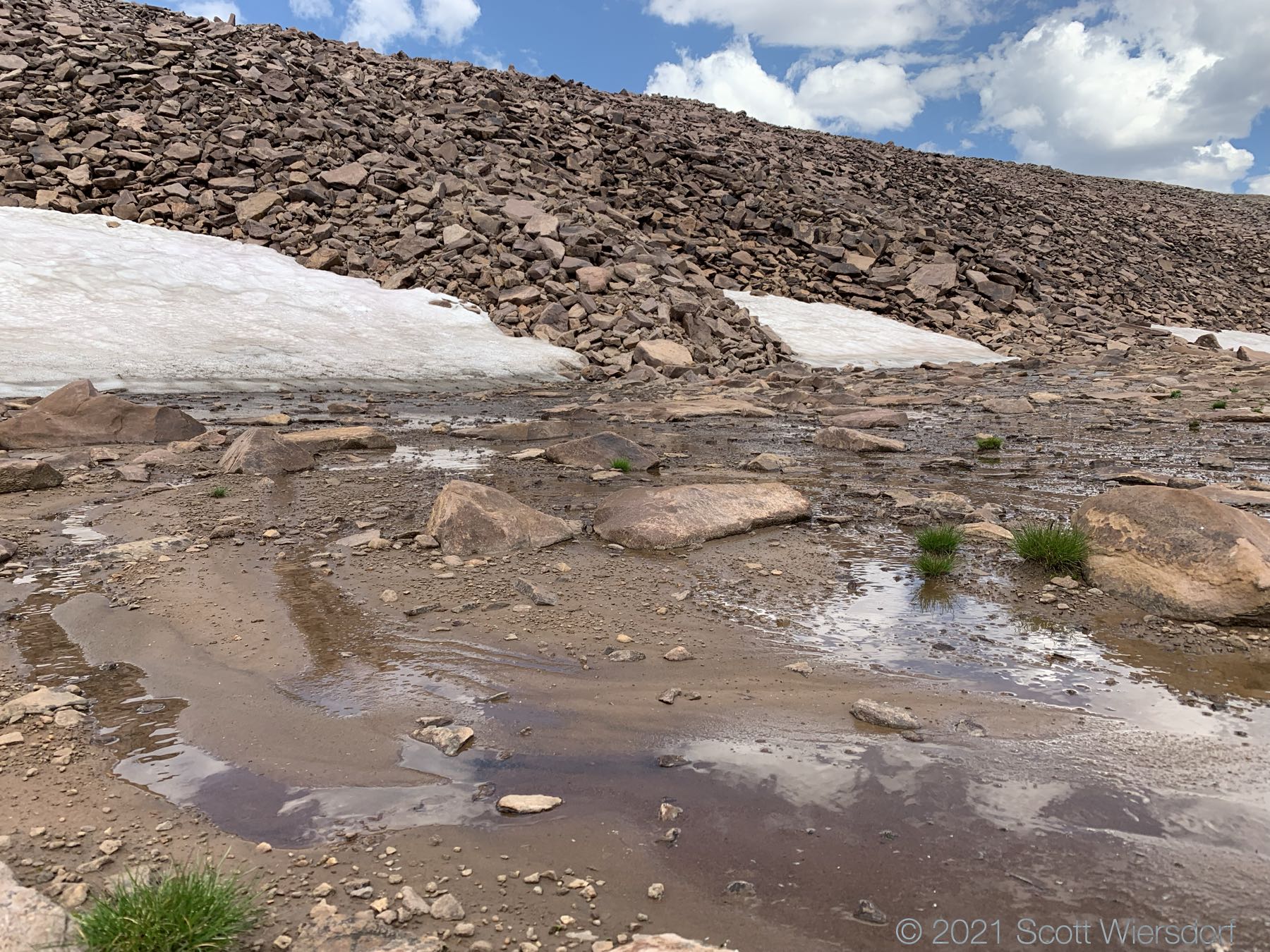
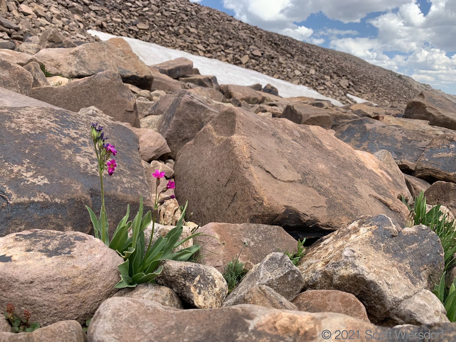
Cyclone Pass is visible on the left as a notch in the ridge where a patch of scrubby pines end. Remarkably, there was a bit of snow left from last year on a south-east facing slope no less:
Panorama from the northern section of the rim:
The shoulder to the west was small-rock hopping, less risky than the boulder hopping to the east, but no less frustrating:
The descent from the ridge to the west joins the Four Lakes Basin Trail just above the basin. To the north is the trail to Rocky Sea Pass and to the south is Four Lakes Basin.
This view is facing the shoulder east of the trail:
A view of the east-west running ridge, the saddle, and partial view of the the north-south running ridge north of Cyclone Pass:
Distance (hike from trailhead to camp) 9.32 miles in 5 hours 38 minutes, total elevation gain was 1850 feet.
My GPX track (view on Footpath ).
Last modified on 2021-08-16