the usual
inconsistent at best
Phelps Canyon to Dry Creek Loop 2022
Hiking the Phelps Canyon trail (#046) to Dry Creek trail (#043) loop

Here’s a tidy loop hike I only noticed the day before I tried it. In retrospect, I think it was probably a touch aggressive and had I known what I was getting into, I probably would not have chosen this route on this day, but it was overall enjoyable.

Here’s the basic layout of the hike:

Overview of Phelps Canyon to Dry Creek Trail

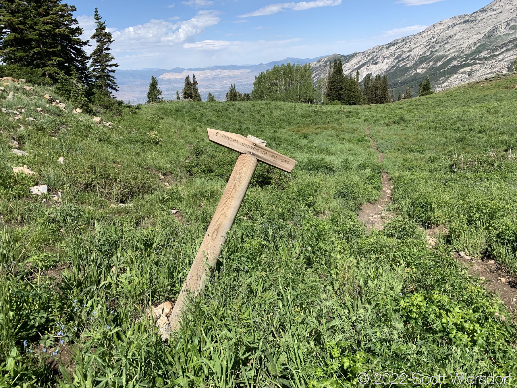
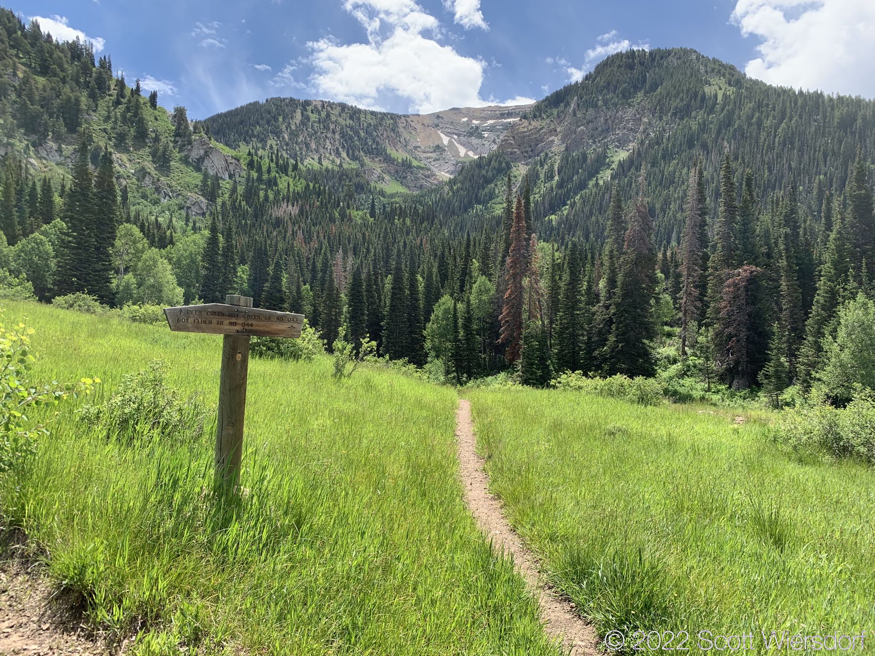
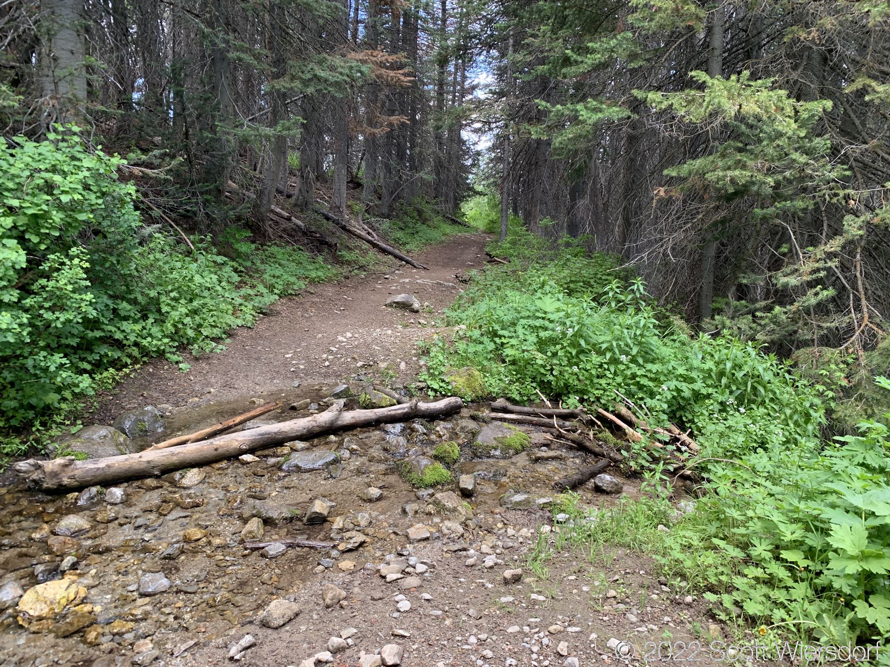
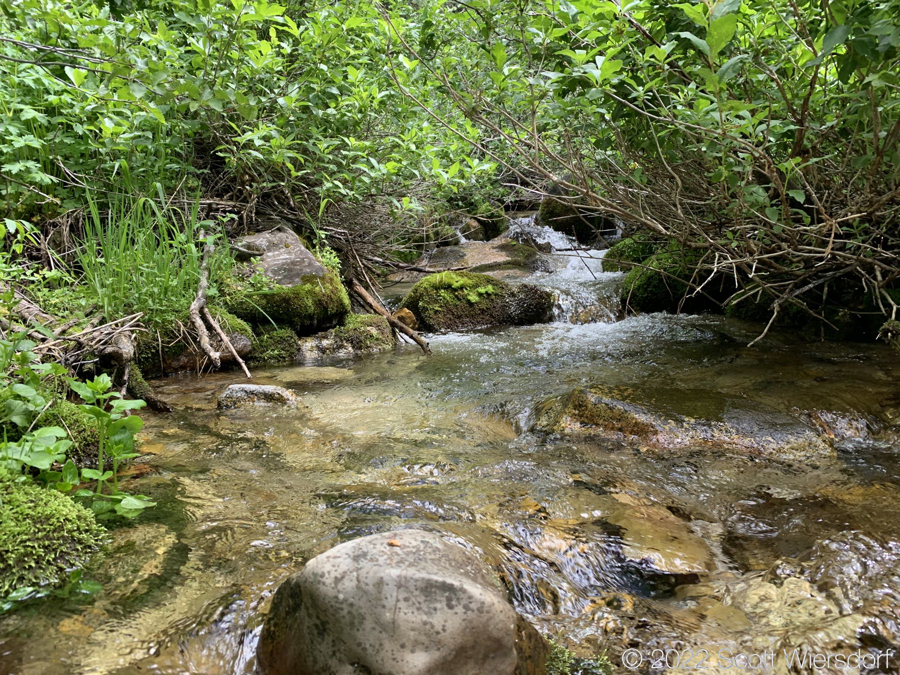
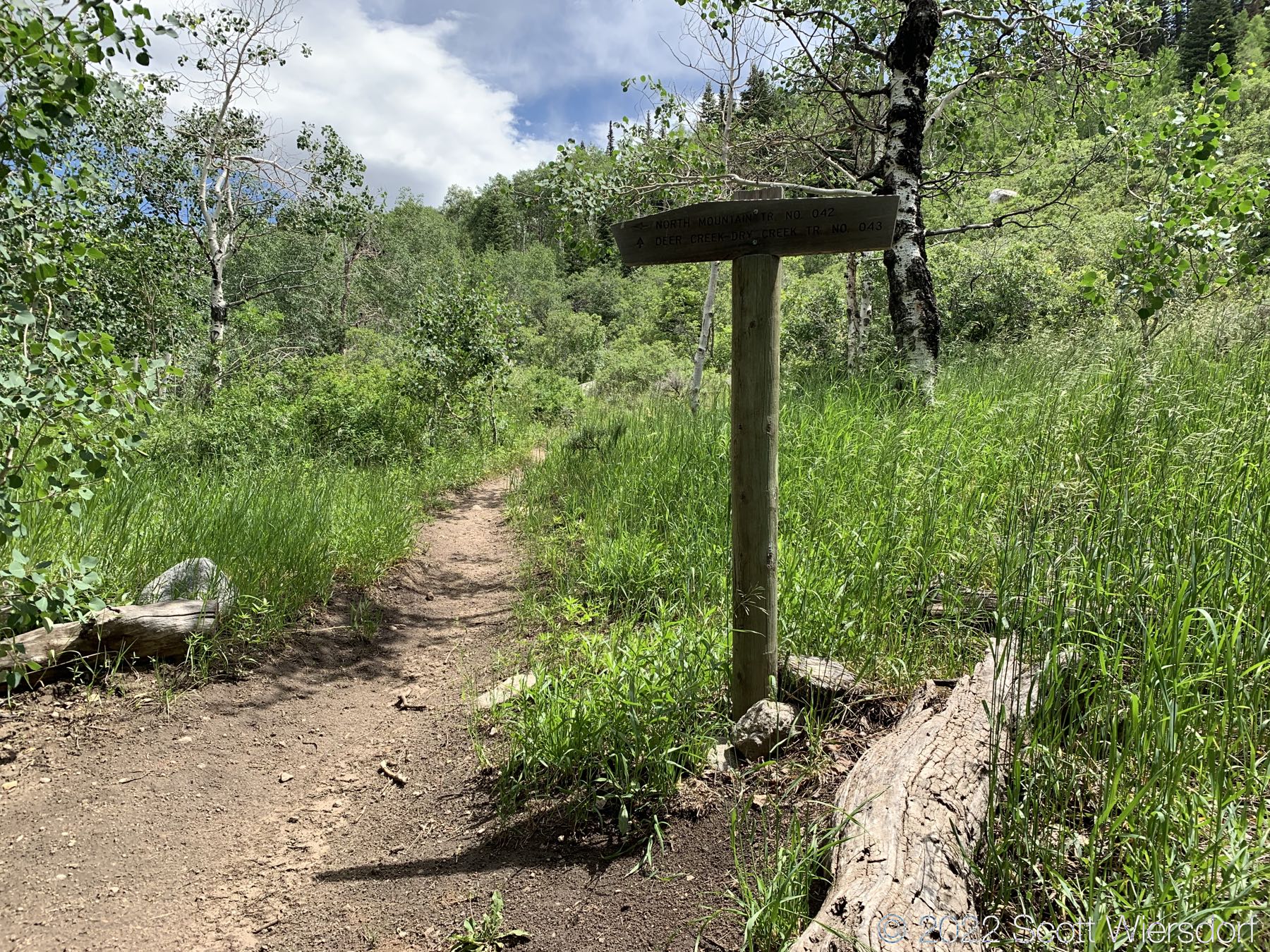
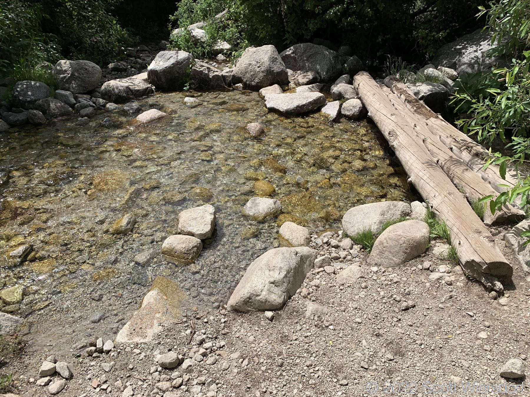
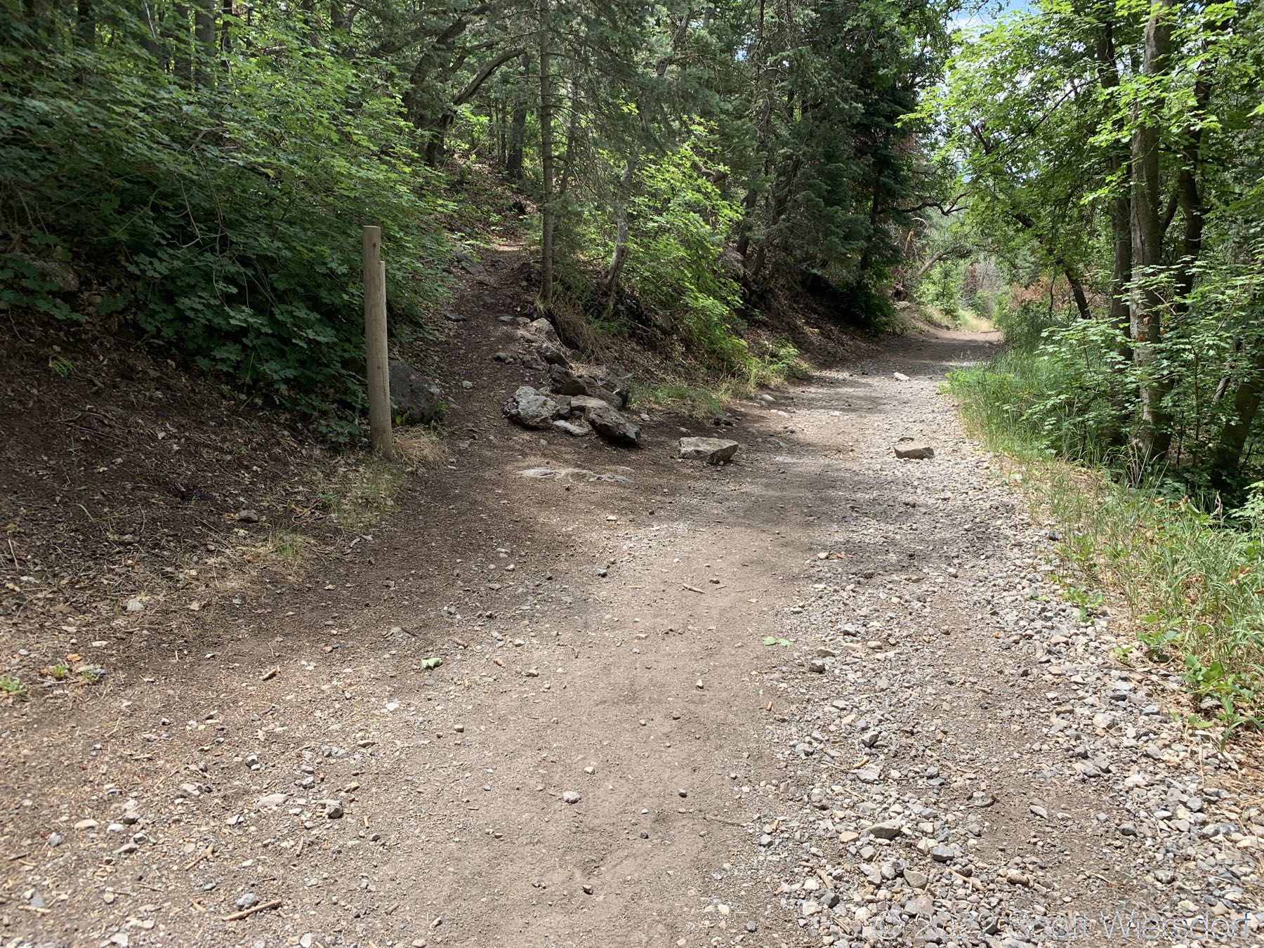
The trailhead is accessed from the Deer Creek-Dry Creek Trail (#043). There is a post about 0.38 miles from the trailhead that indicates the junction with the Phelps Canyon trail (#046). The post looked like it was a sign once upon a time, but it appears that trail #046 is no longer maintained by the Forest Service (I could find no mention of it on the Pleasant Grove Ranger District website), possibly since the Phelps Canyon fire in July 2012. That trail closure will be important to understand later.

Phelps Canyon junction is the small post ahead, about 0.38 miles from the Dry Creek trailhead.

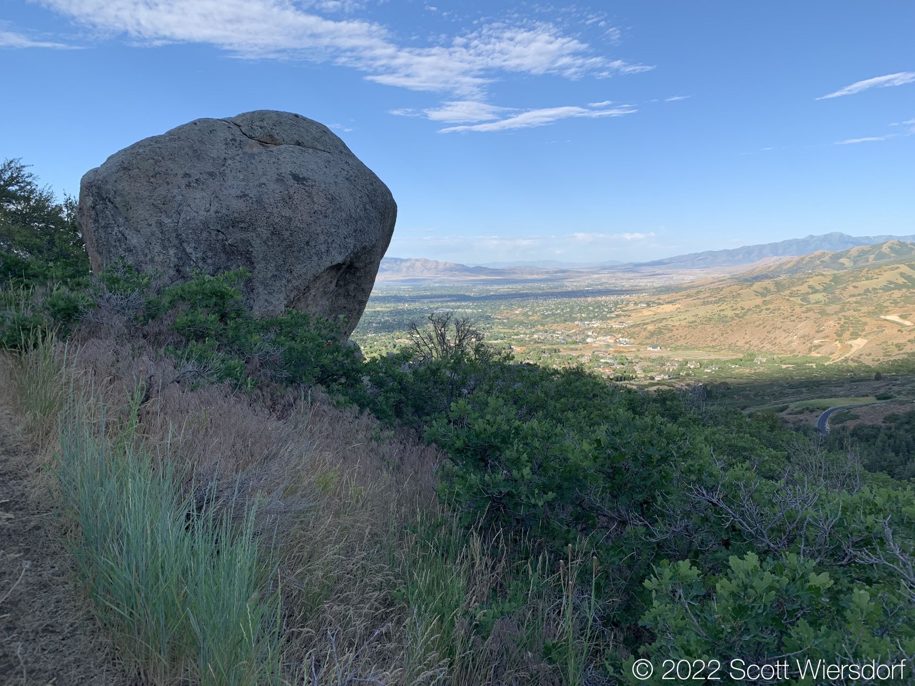
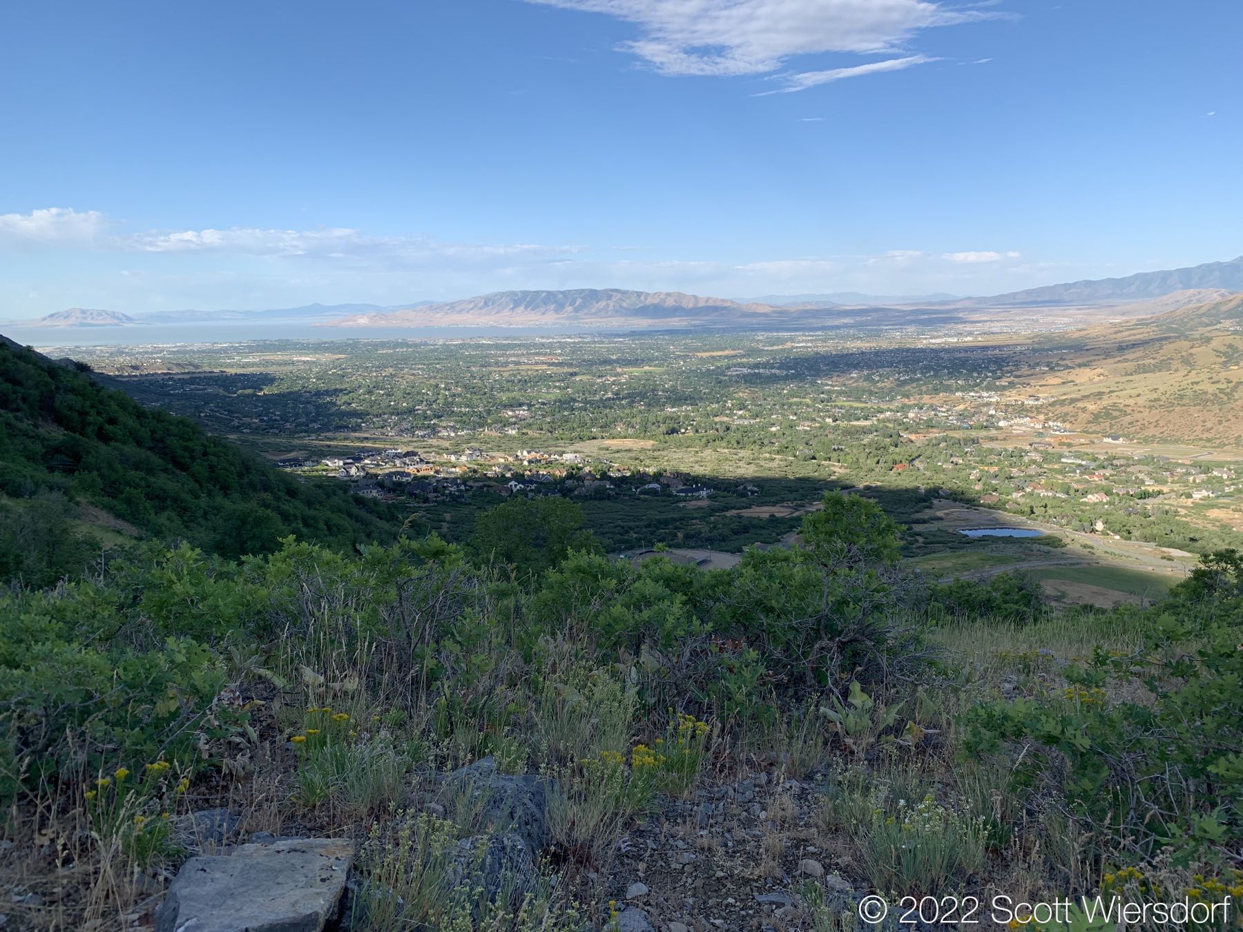
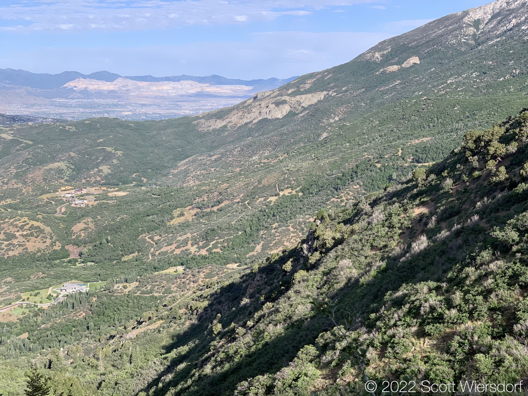
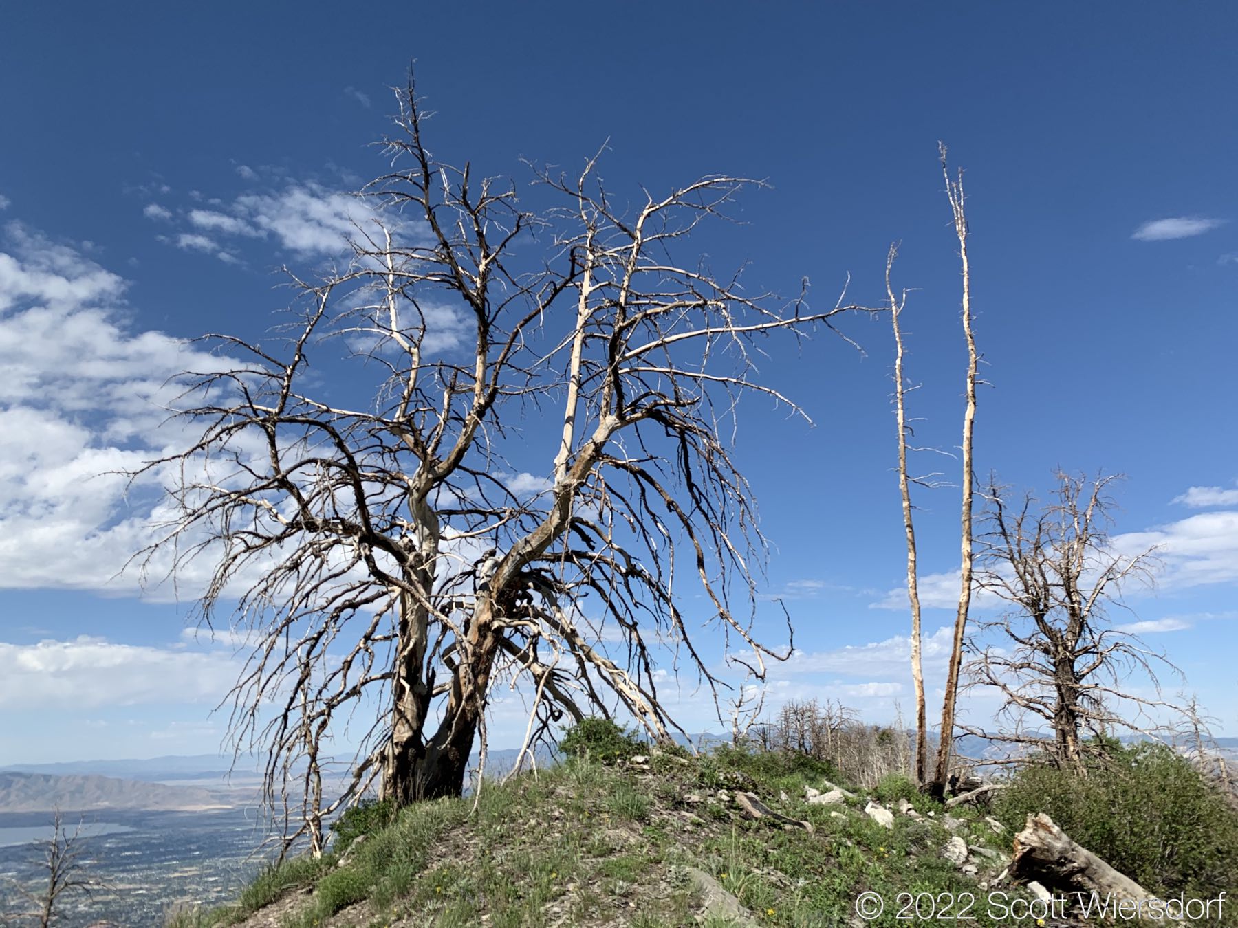
The Phelps Canyon trail has some beautiful views of the northen end of Utah Valley.

Overlook into Alpine, Utah.
View of Alpine, Utah from the Phelps Canyon trail.
View of Lone Peak and Big Horn/Upper Bells Peak.
Sunrise in Phelps Canyon
Civilian Conservation Corps trenching
Slightly overgrown trail
View of the Schoolhouse Springs and Hamongog trails

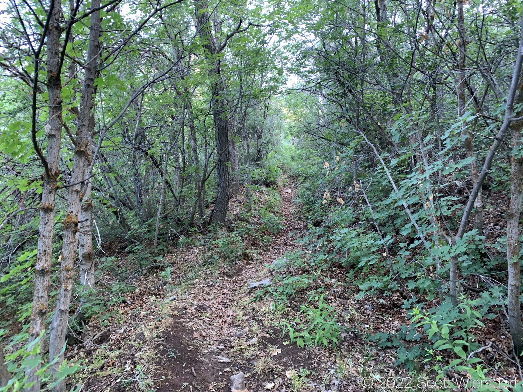
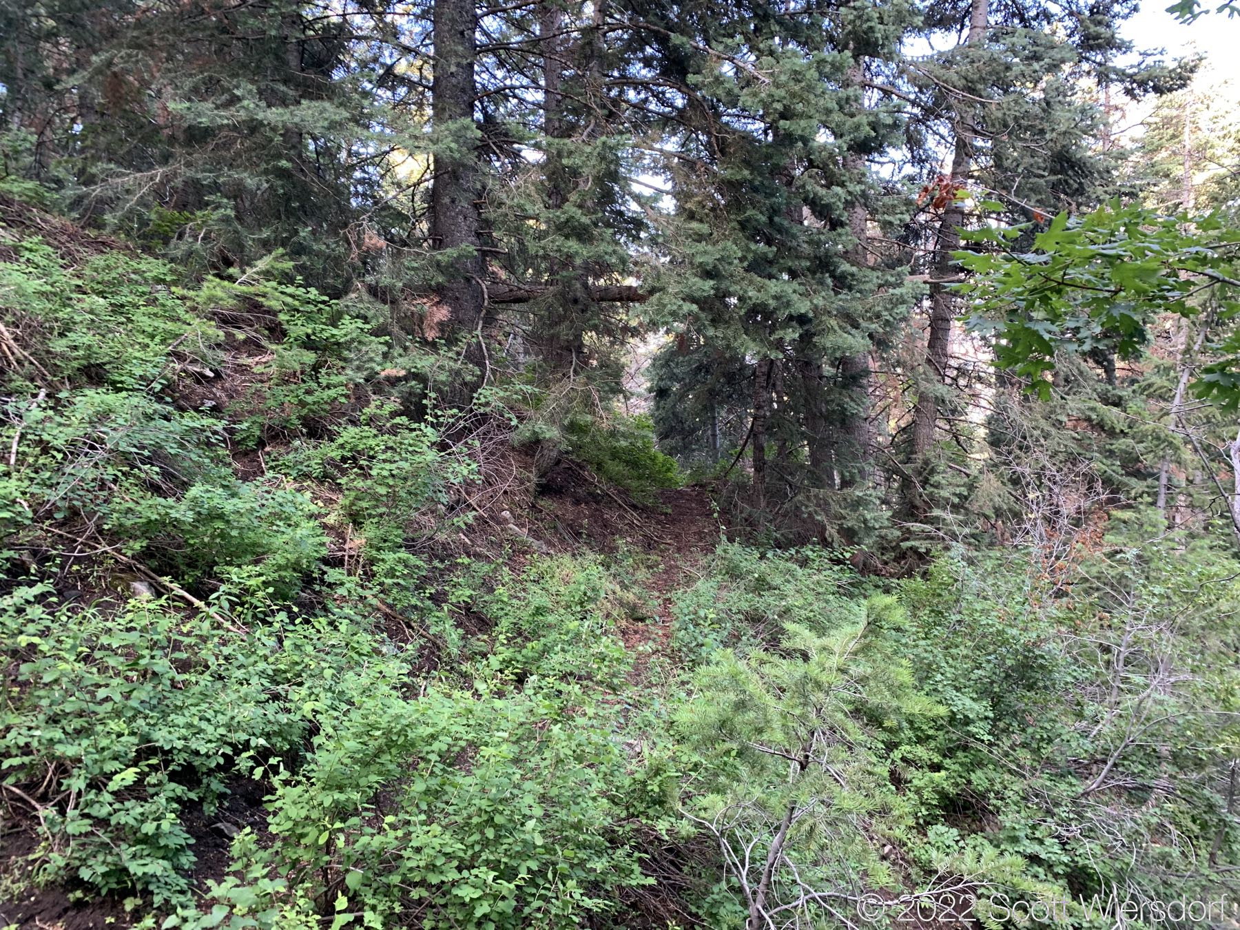
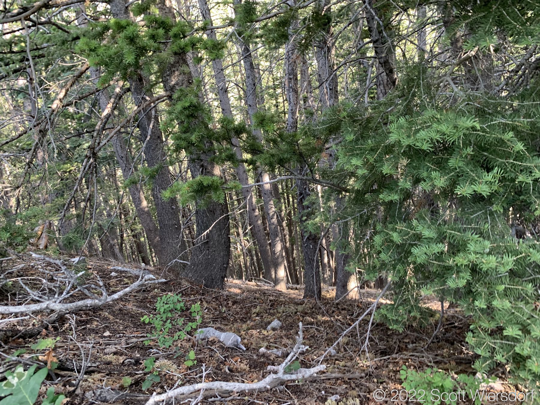
At about 1.5 miles up the trail, the trail disappears.

Where the trail thins and disappears.

With GPS, I was able to occasionally find bits of the trail.

Some trail apparent
Trail still visible
Bushwhacking
A view from the ridge into the Dry Creek drainage.

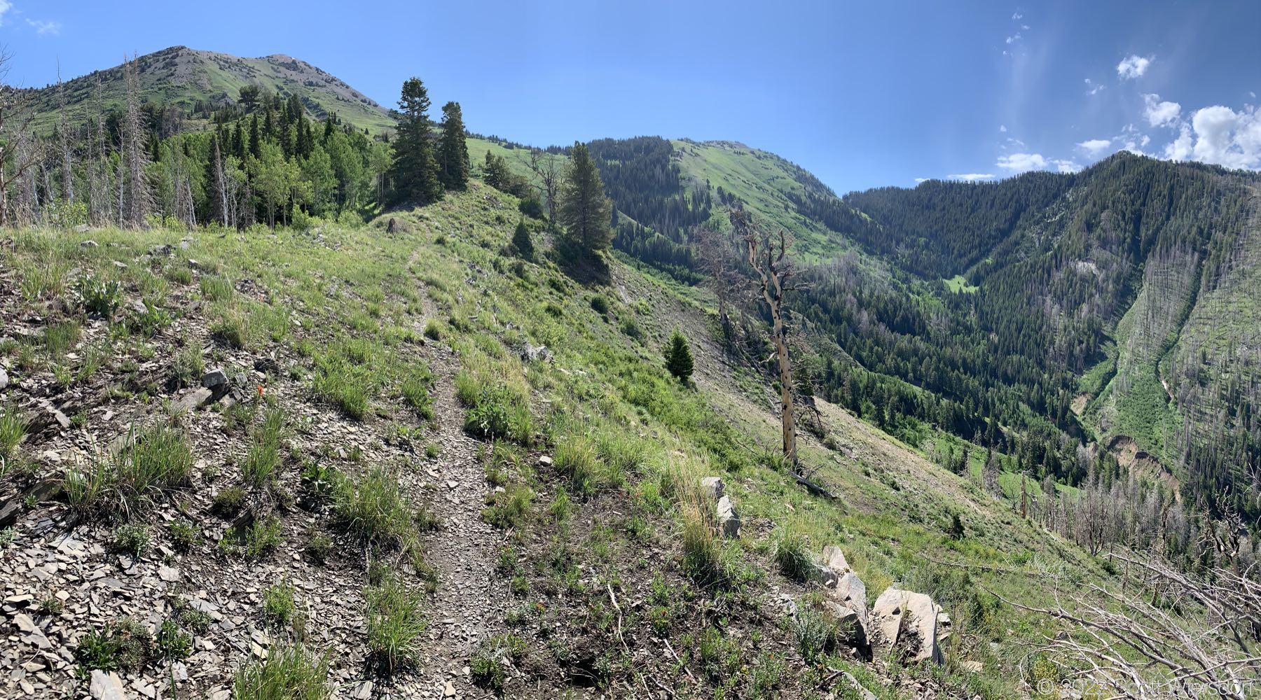
A panorama of the lost trail. Fortunately there was a lot of wildflowers and bees to keep me company.

I think I should have stayed closer to these cliffs and the ridge in general.

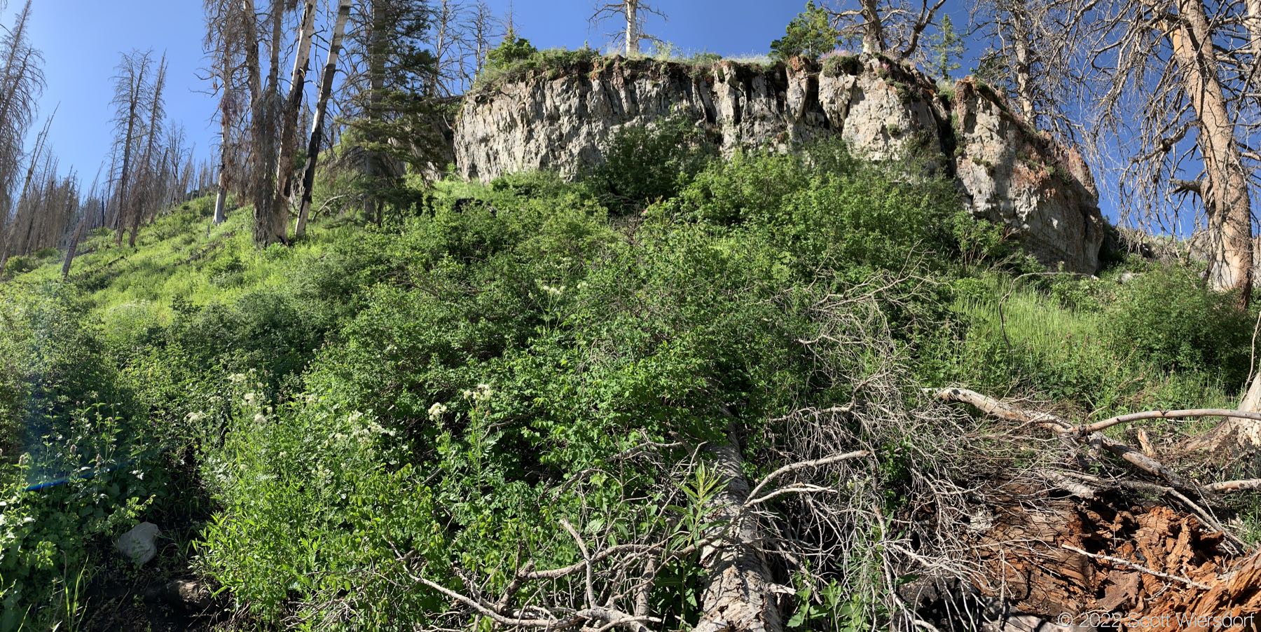
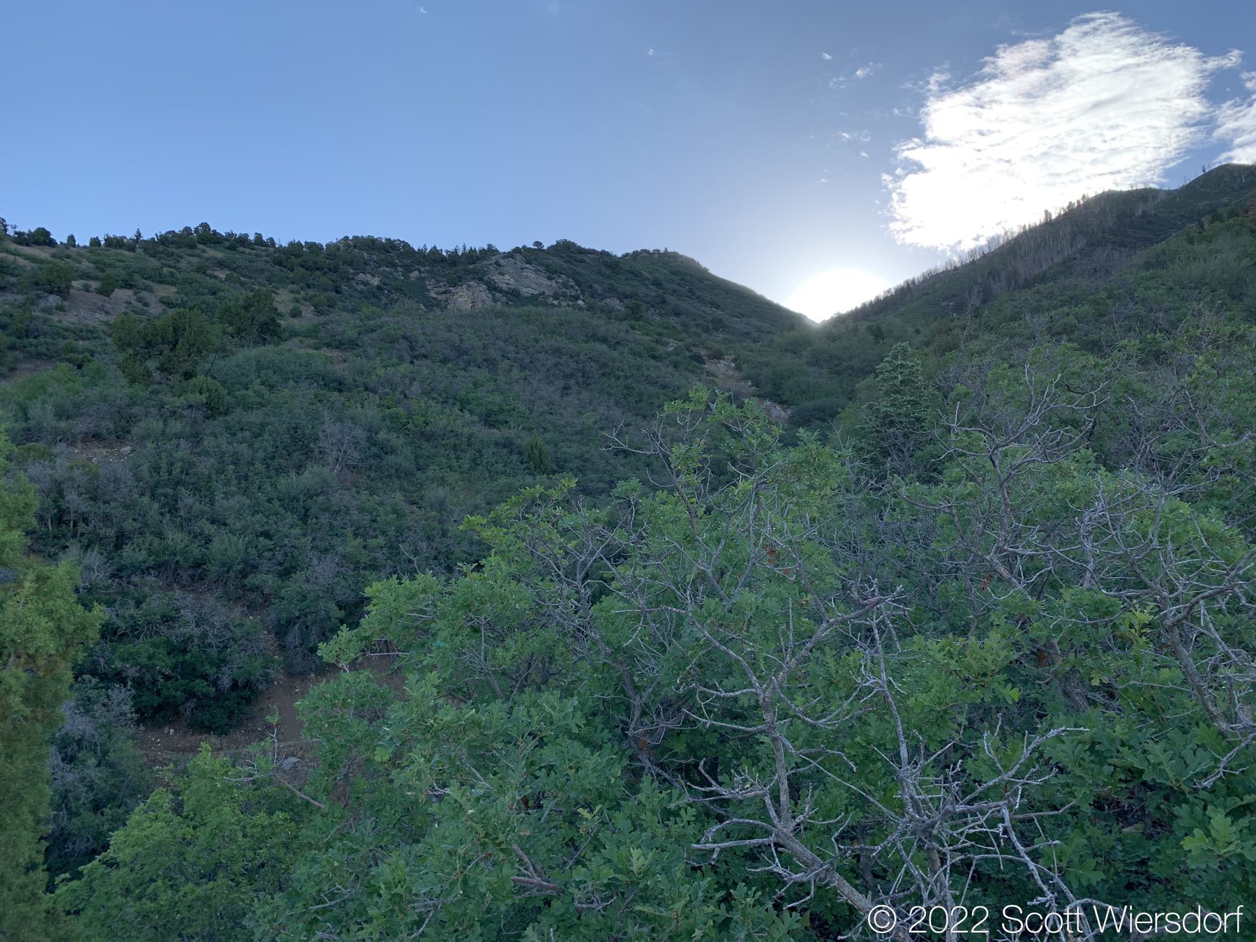
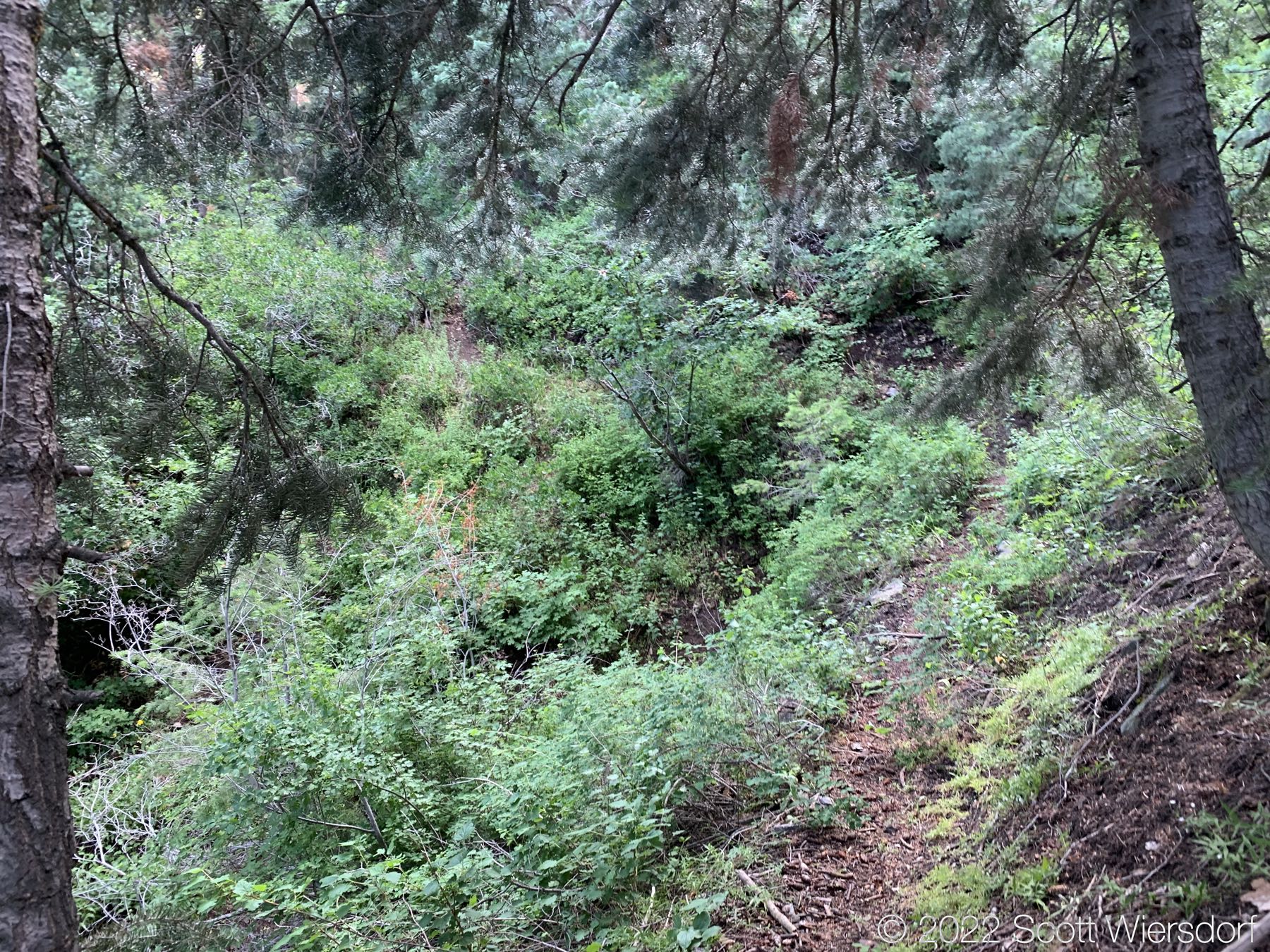
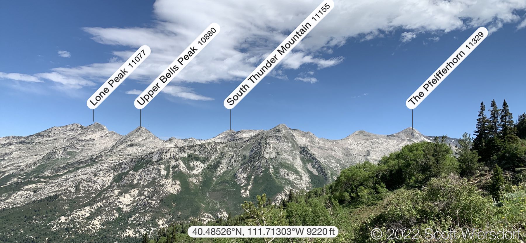
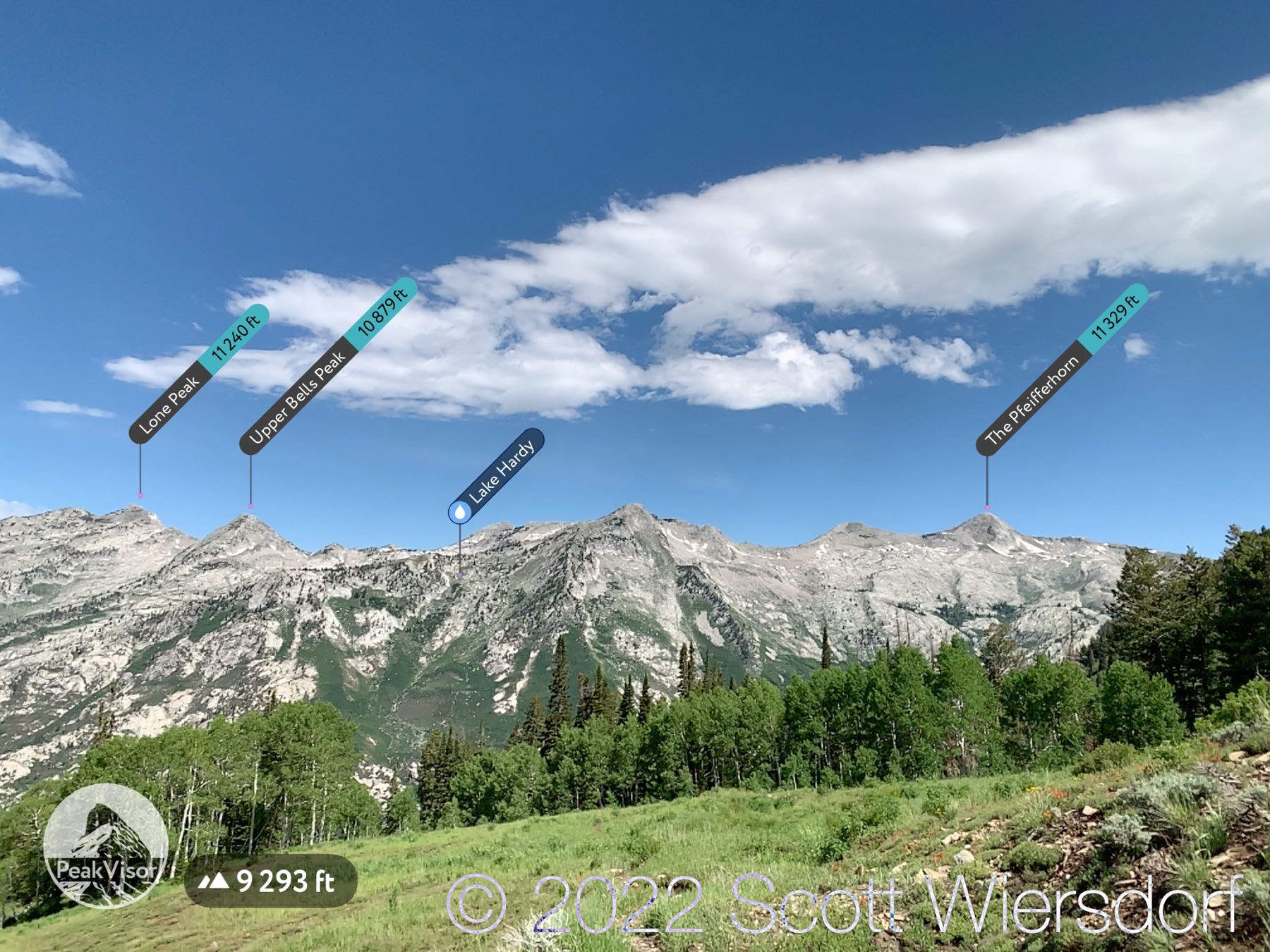
While the trail had disappeared and the hike turned into a bushwhack, it was a pretty bushwhack as far as bushwhacks go. Great view of the Little Cottonwood Canyon ridgeline.

Views of Box Elder Peak and CCC terracing
Some raspberry bushes (no fruit yet)

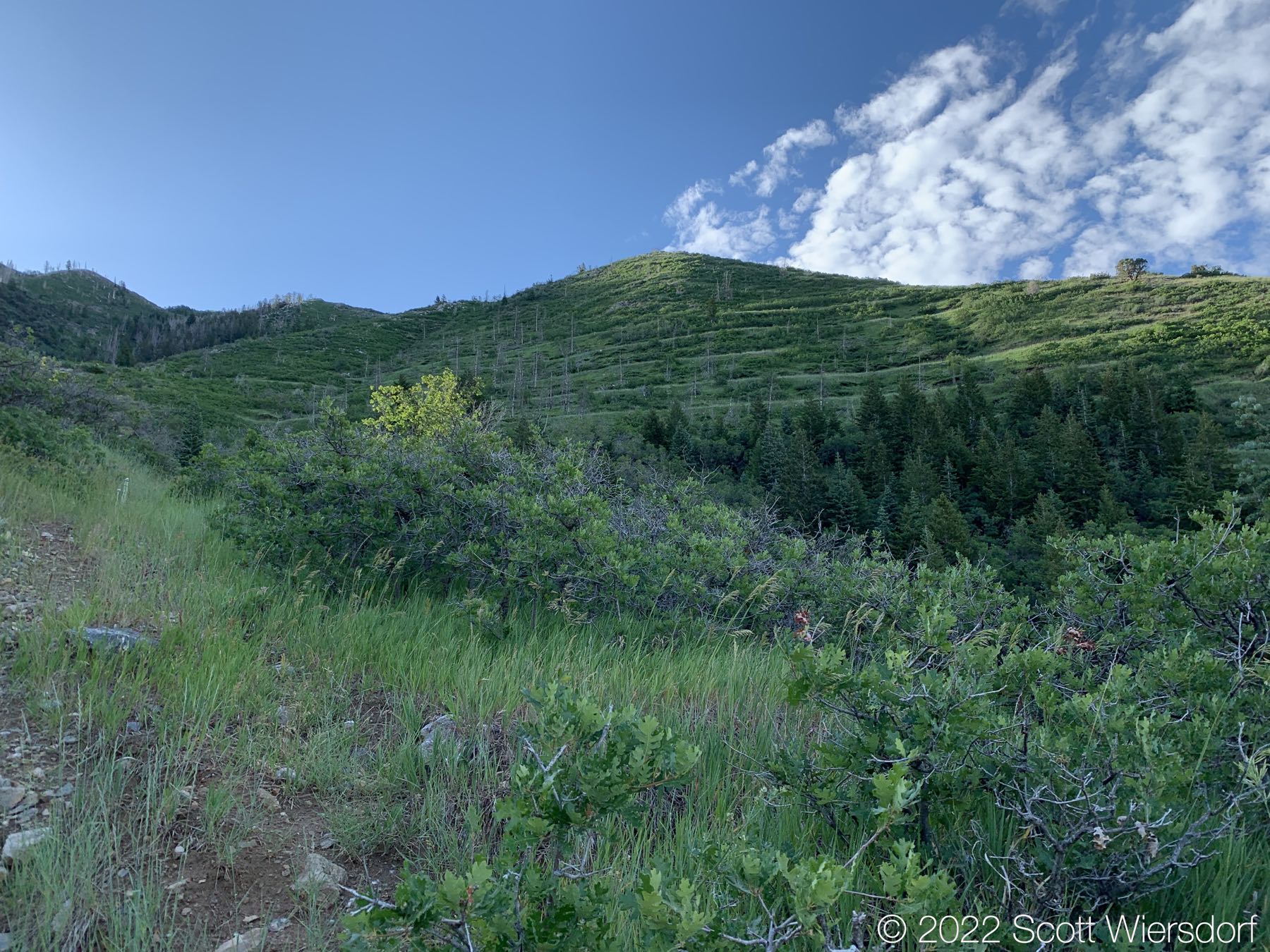
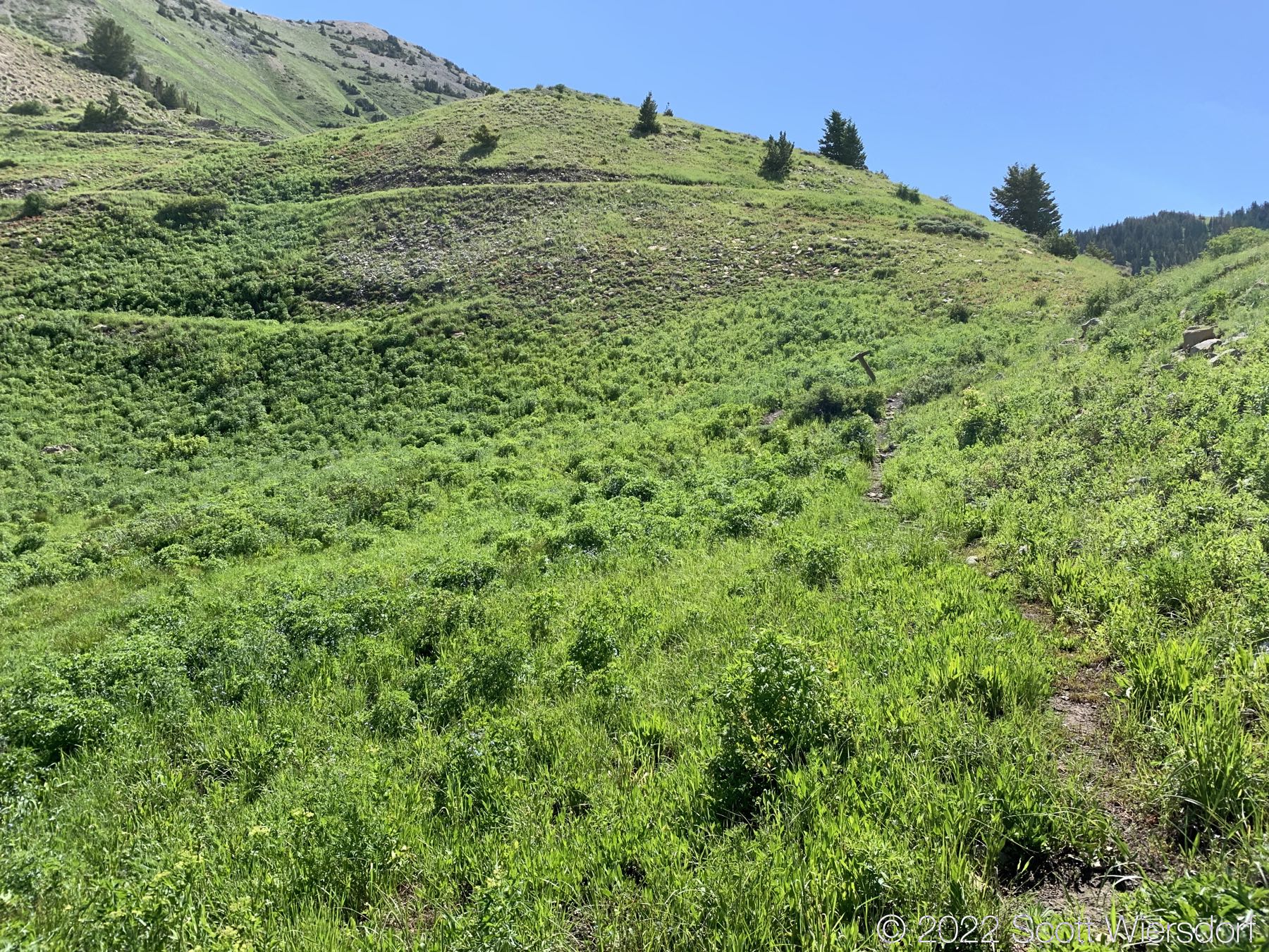
Once I reached the ridge between Dry Creek and Phelps, the trail was mostly clear again.

View of Box Elder Peak from the ridge between Dry Creek and Phelps Canyons
Looking west toward the valley.

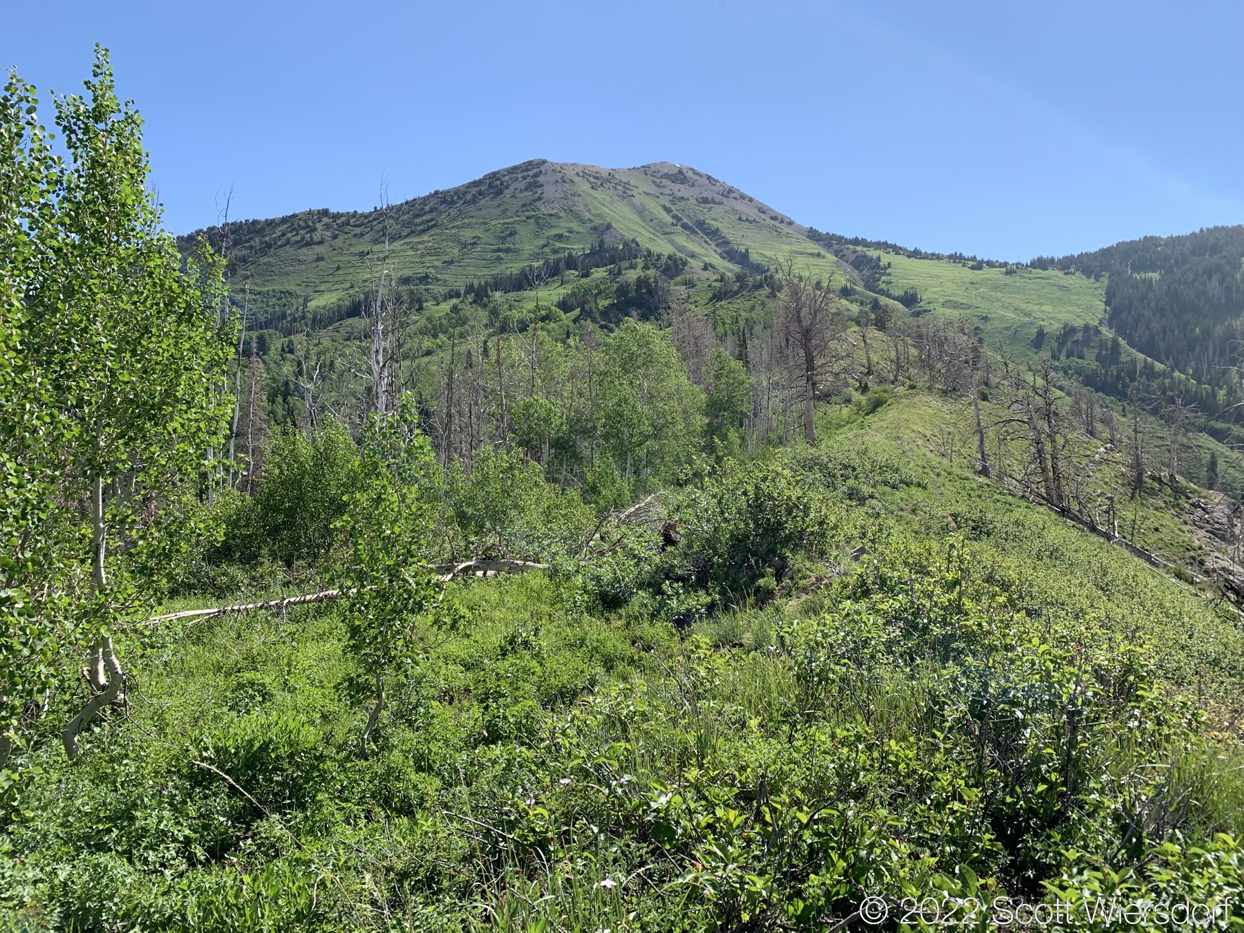
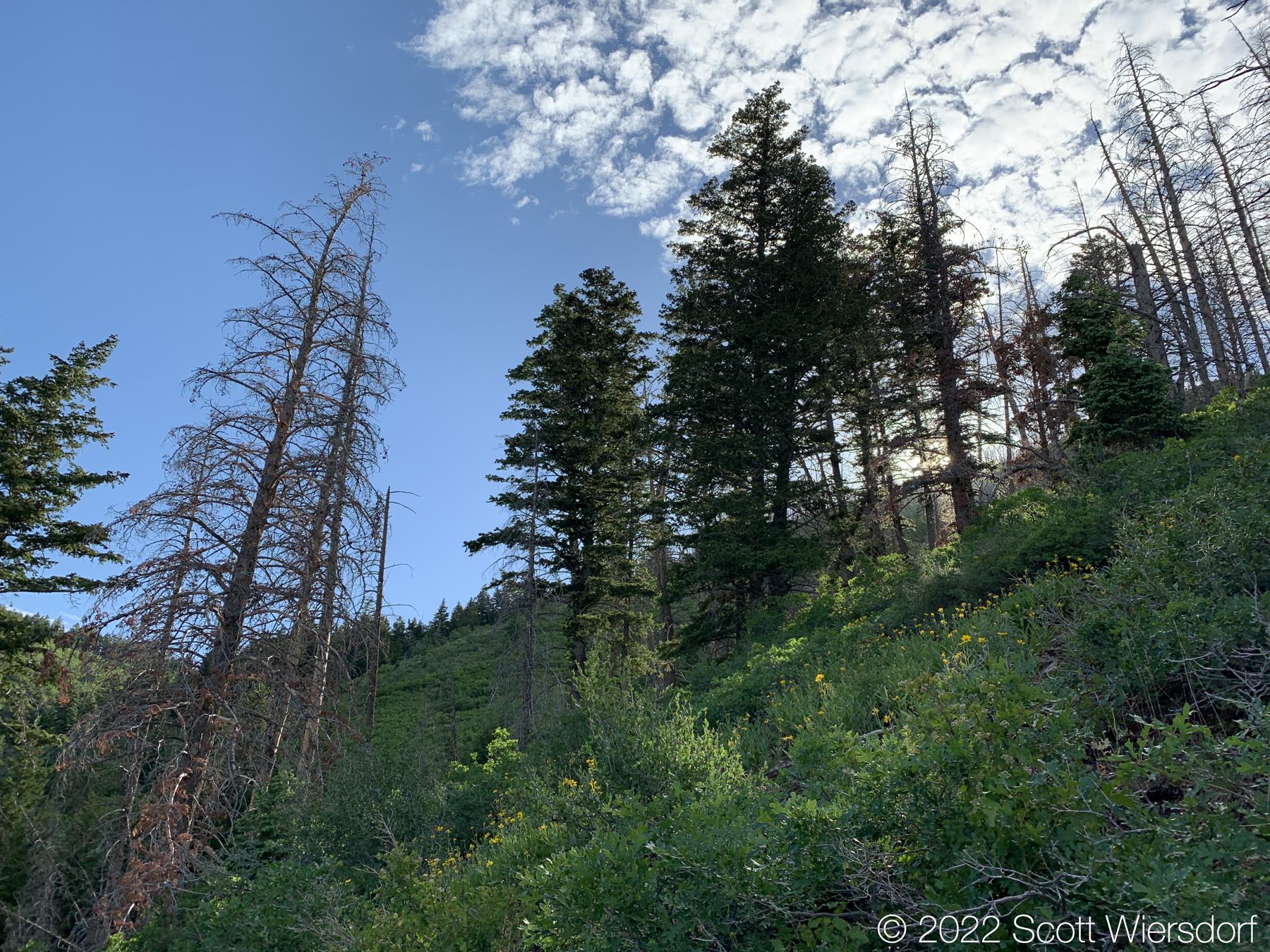
A view of Phelps Canyon and burn scars from the 2012 fire.

Looking west from the ridge between Dry Creek and Phelps Canyons
The 2012 fire burned some trees in the Dry Creek side as well.
A faint trail up the ridgeline to Box Elder Trail (#044) junction
A view of upper Phelps Canyon.
View of the Little Cottonwood Canyon ridgeline
The trail junction between Phelps Canyon trail (#046) and Box Elder Trail (#044)
This trail does not exist.
View of the Little Cottonwood Canyon ridgeline from the Box Elder trail
A view of the peaks of Little Cottonwood Canyon ridge as seen from Box Elder Trail (#044)
The trail junction between Box Elder Trail (#044) and Dry Creek Trail (#043)
Dry Creek was not dry today. Significant rainfall from the night before swelled all the streams in the canyon.
A stream across the trail.
Streamflow after rain.
The trail junction with North Mountain Trail (#042) and Dry Creek Trail (#043)
Dry Creek trail has horse traffic and lots of stones underfoot. Not the best experience for human feet.
If you’re going up Dry Creek canyon, this is a great place to water up.
Coming full circle: this is the post marking the beginning of the Phelps Canyon trail.
Forest Service trail sign.

I think I might try this trail again, but would stick closer to the ridge once I got to mile 2 of the Phelps Canyon trail. The reviews of this hike are enjoyable to read now that I’ve done the hike. I’m glad I didn’t read these before I tried this, otherwise I might not have done the hike at all. I am also glad that I didn’t hike this loop clockwise, coming down Phelps Canyon trail.

My route. Probably don’t want to follow this first third too much.

Last modified on 2022-07-01