Remembering previous attempts
I thought I’ve sworn off this mountain after my first disaster and second disaster, but Girl on a Hike documented a better route that’s been bothering me that I hadn’t tried it.
Notes about the trailhead
The trailhead that you might see on maps is no longer there. The county installed some concrete barriers a number of years ago and the small service road is no longer accessible from the road, though you might be able to park on the shoulder if you knew where the service road was.
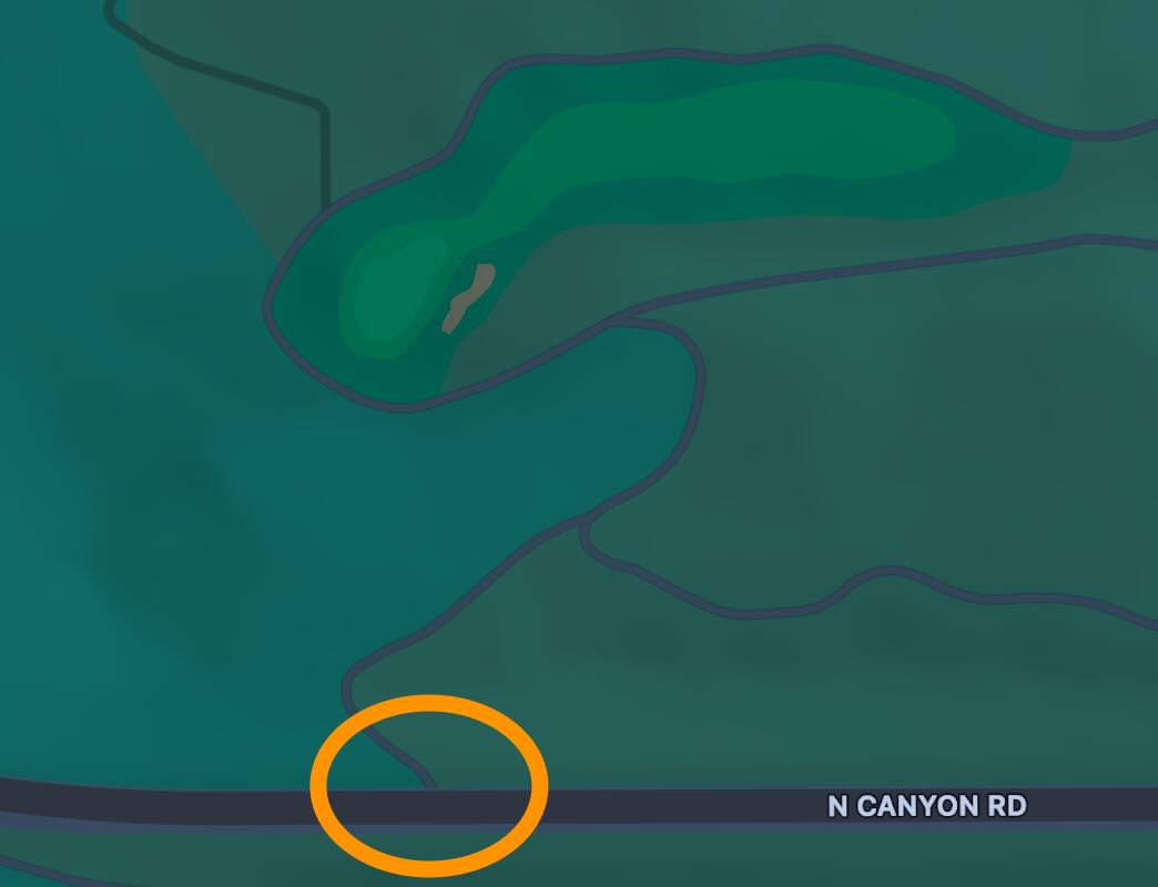
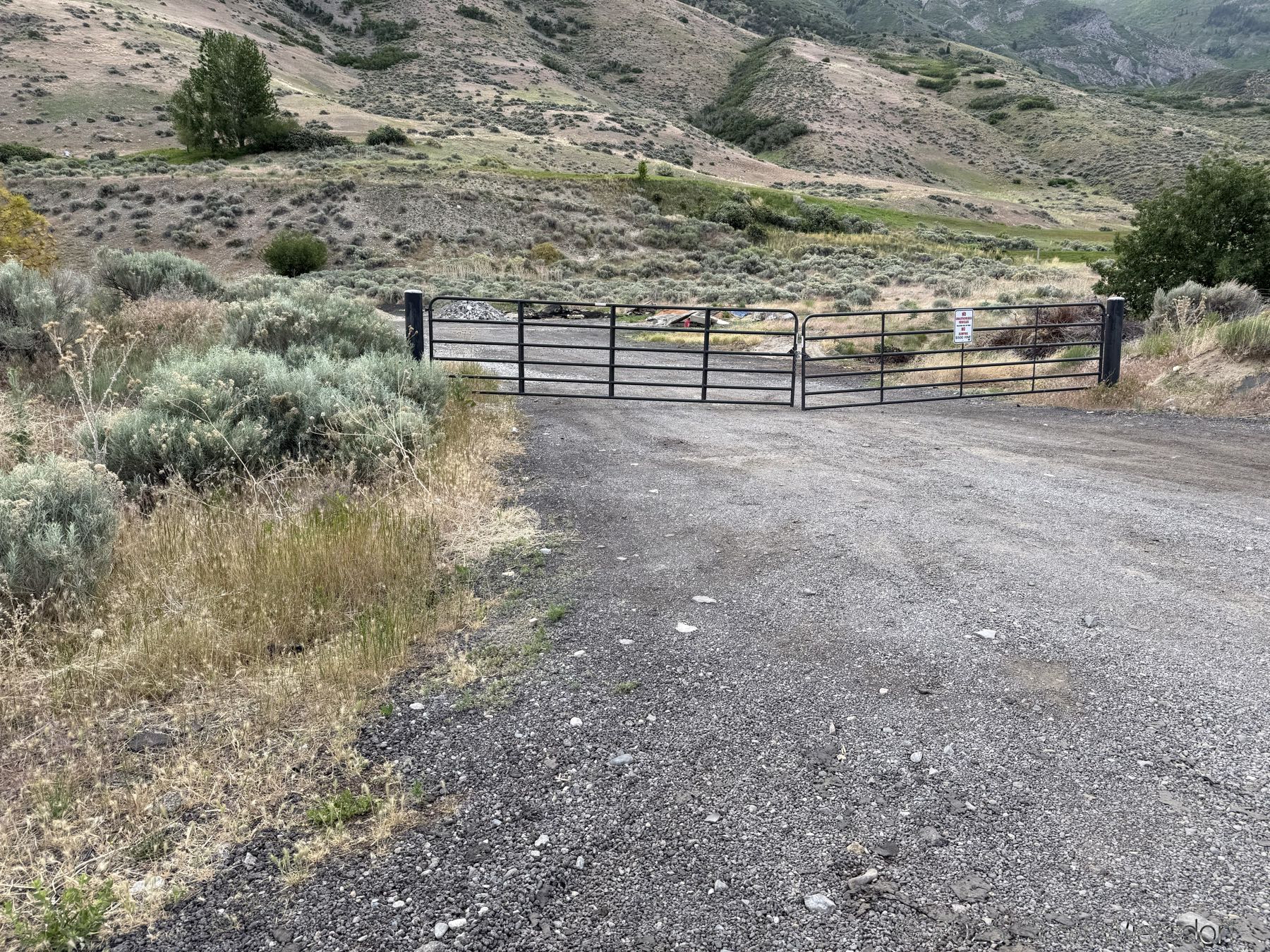
Alas, the gravel parking area that Girl on a Hike described is now gated by Cedar Hills City. I just parked on the shoulder near the gate and it was fine.
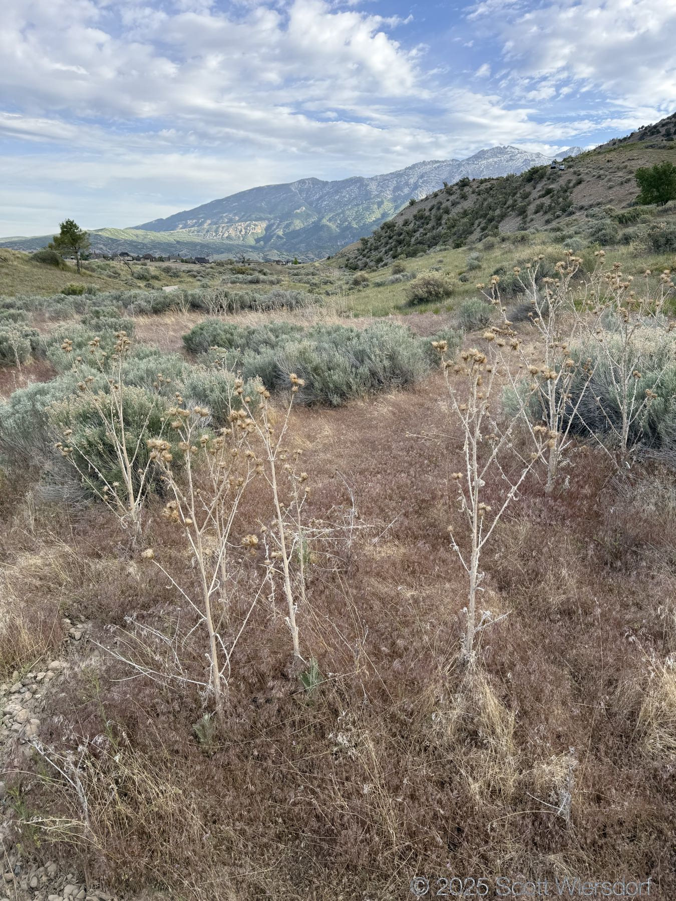
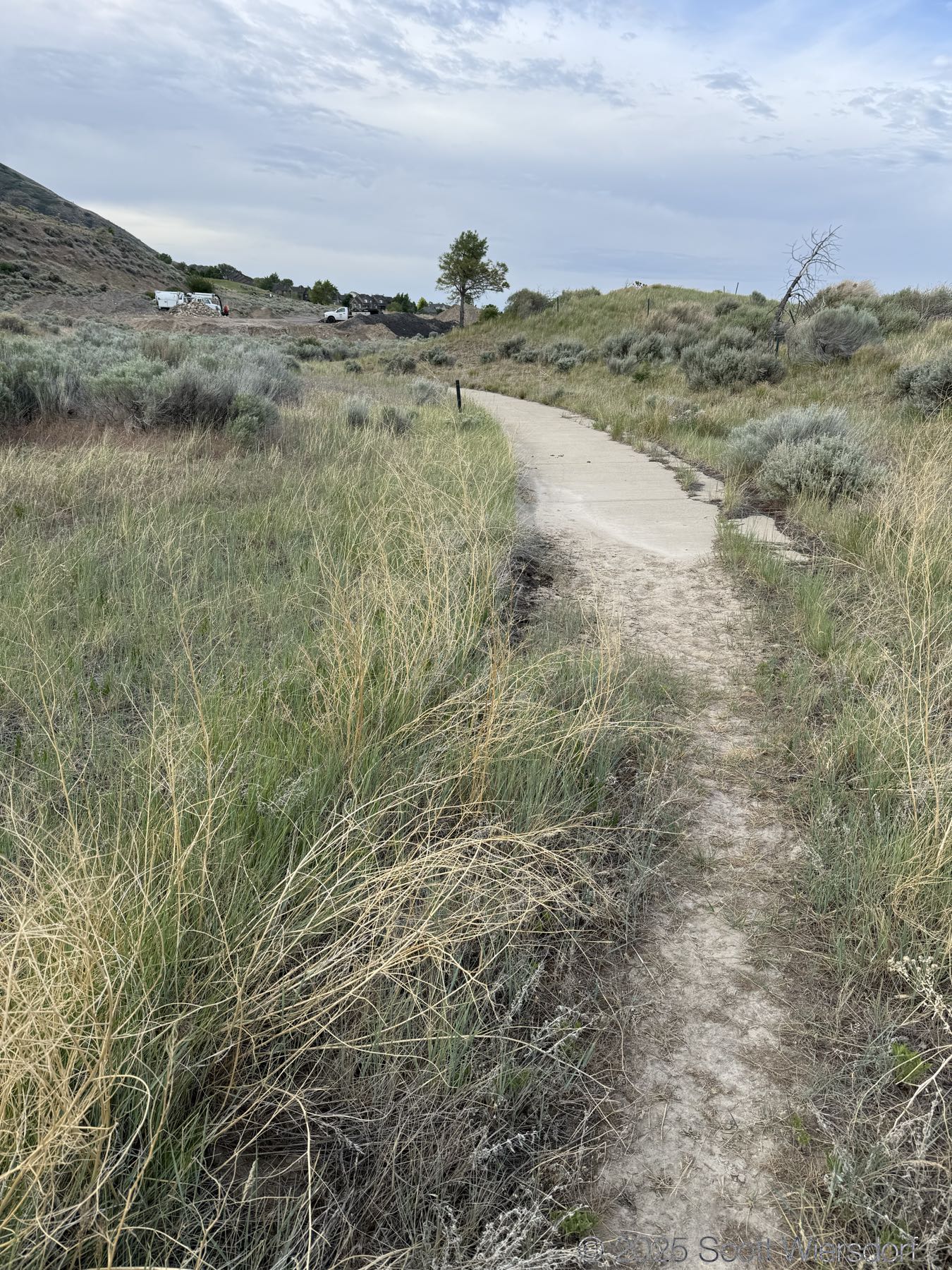
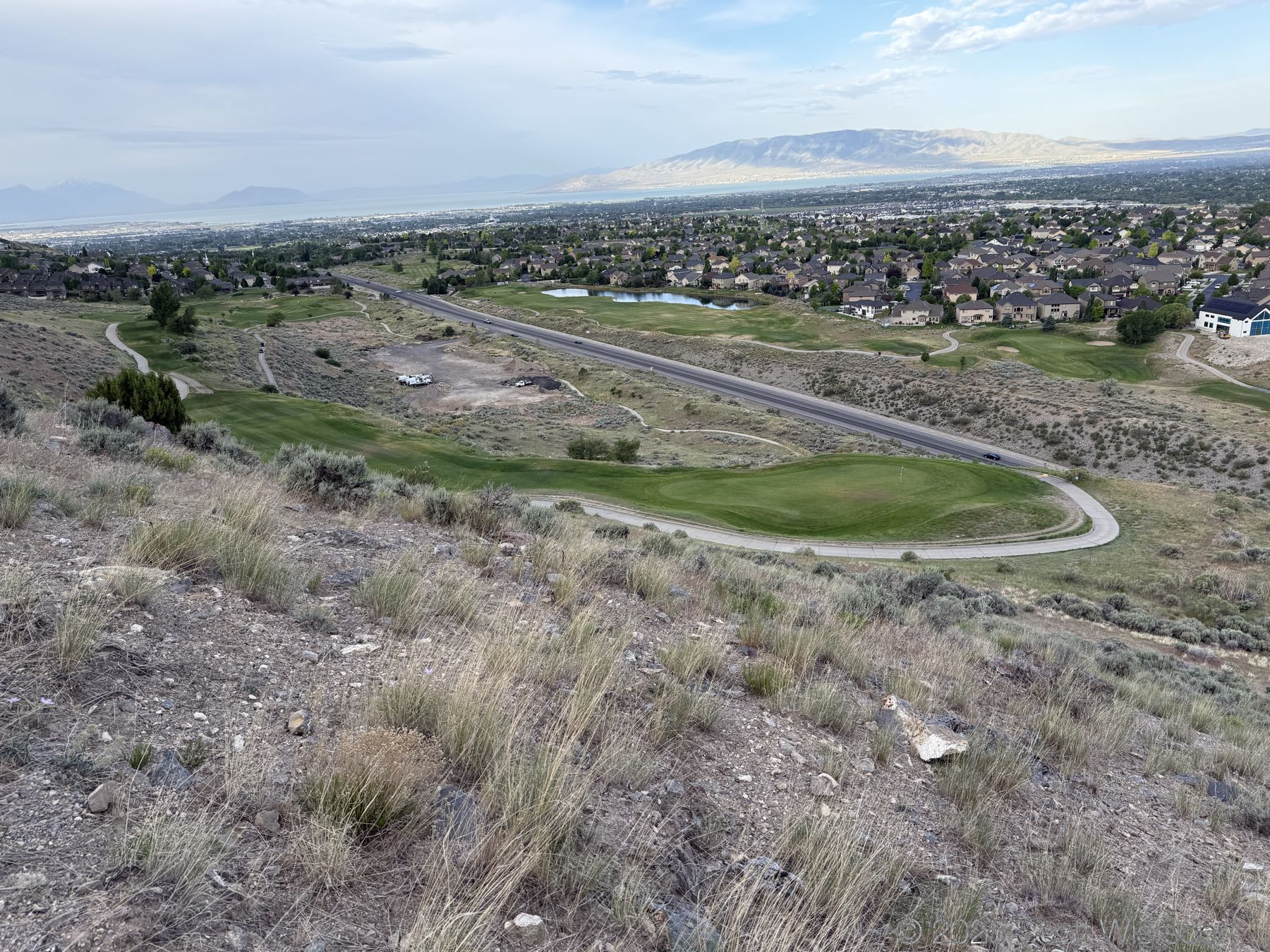
Once inside the gate (walking), head north but stay left to pick up the old golf cart trail (no longer used). Follow this until you reach the 14th hole putting green and then go around the bend. The trail is on your left and is pretty obvious (you can see it in satellite images).
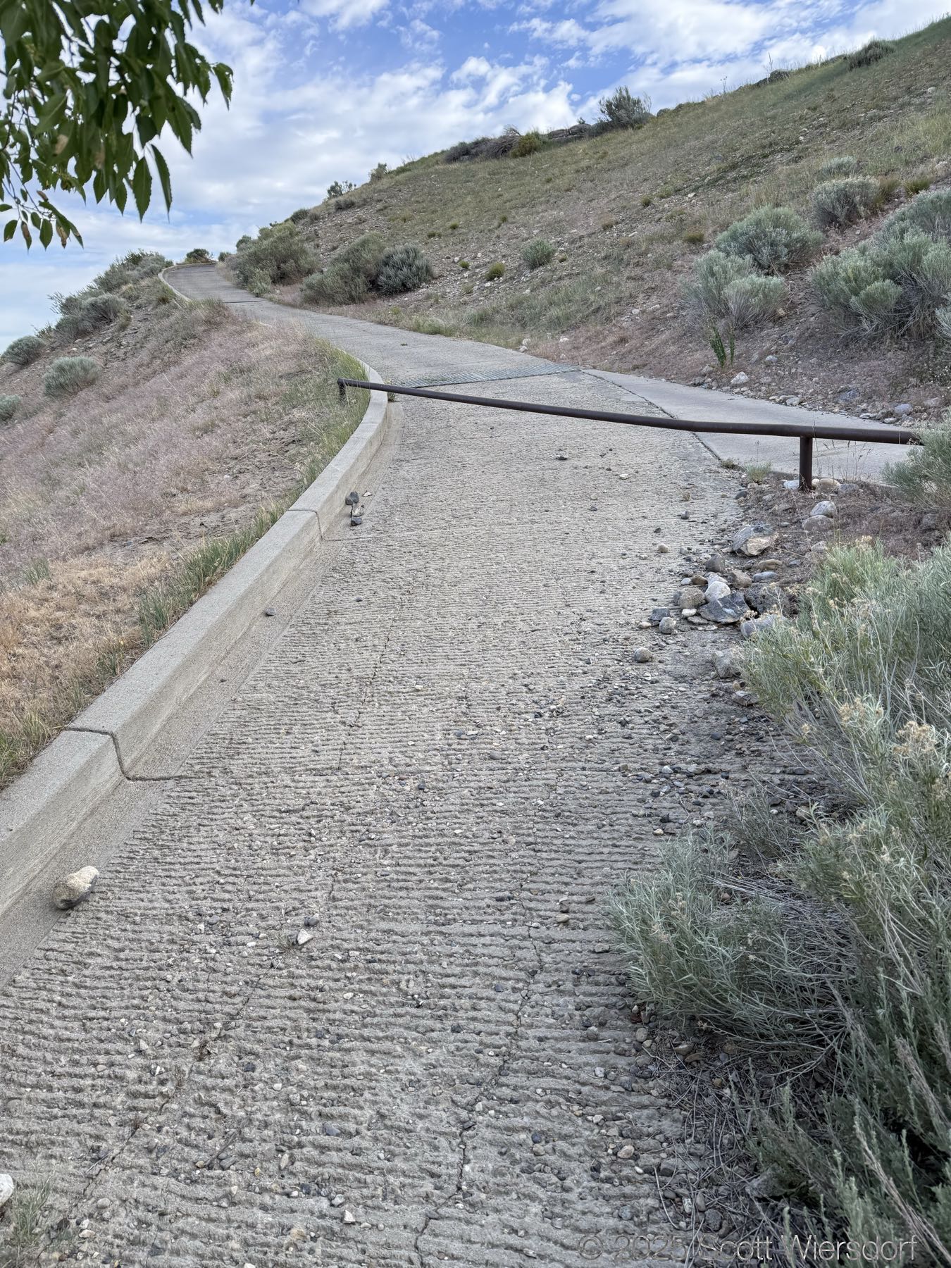
The old trailhead which you can still see in some maps is blocked from road access by concrete barriers. There may be enough shoulder for a car or two.
About the trail
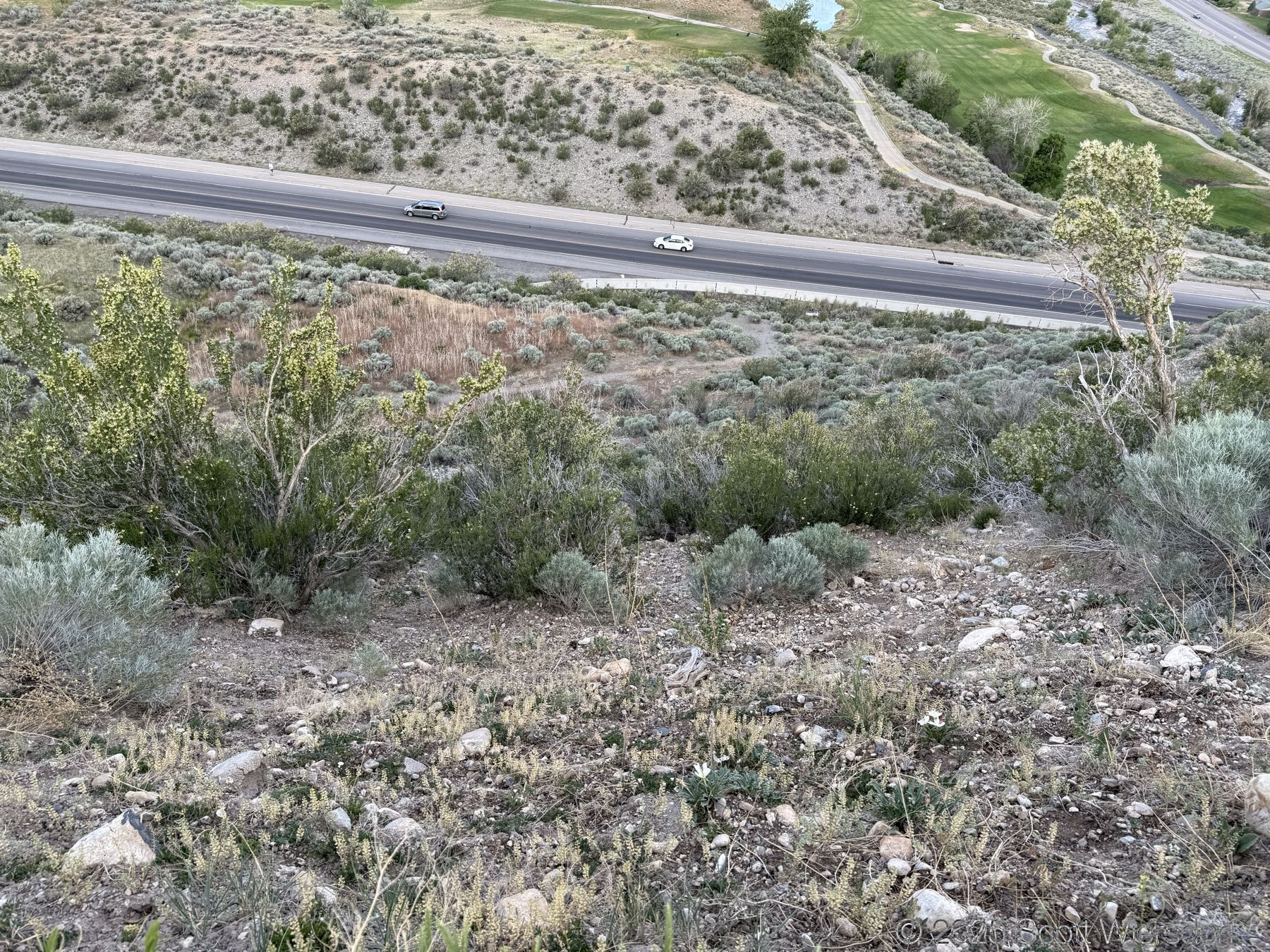
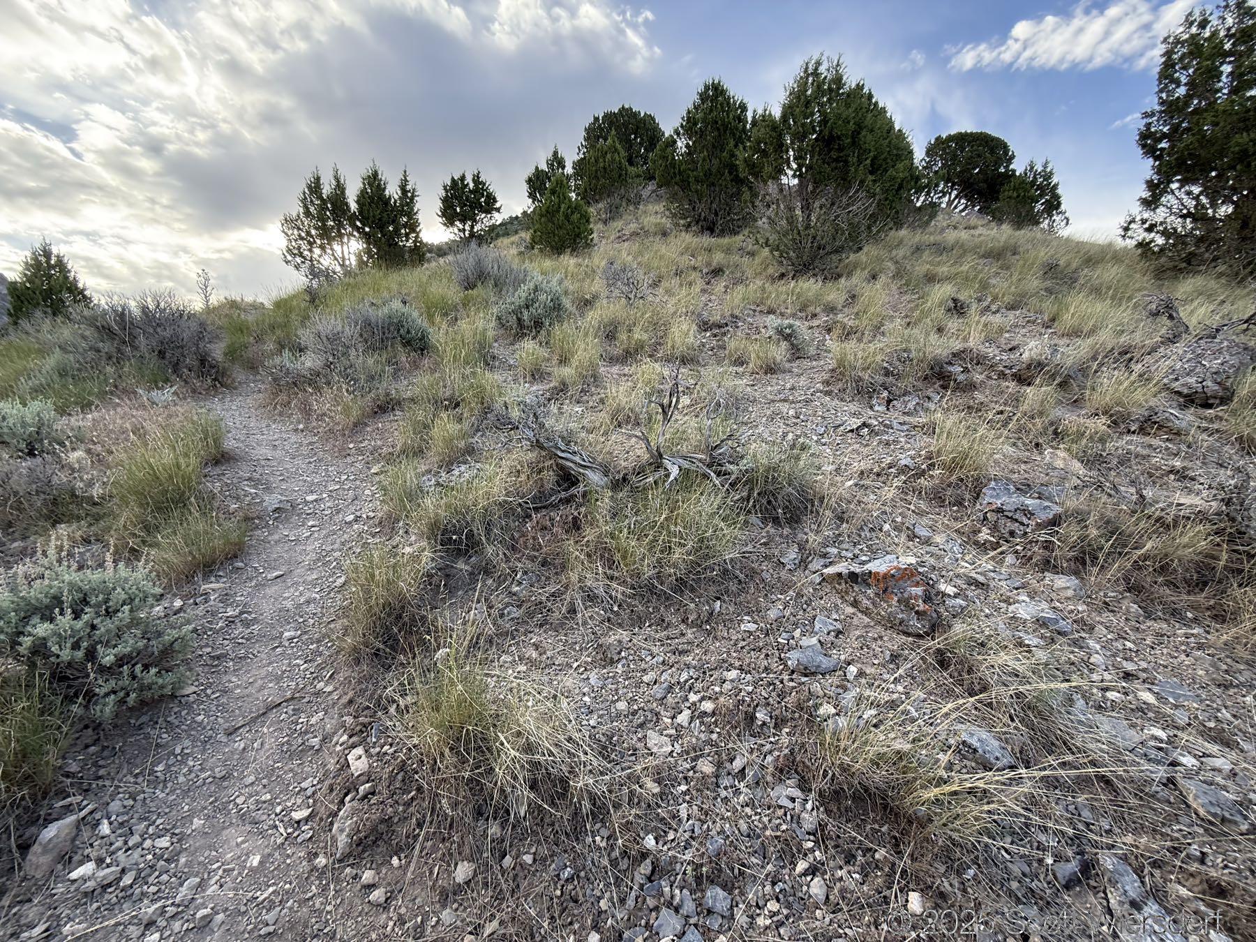
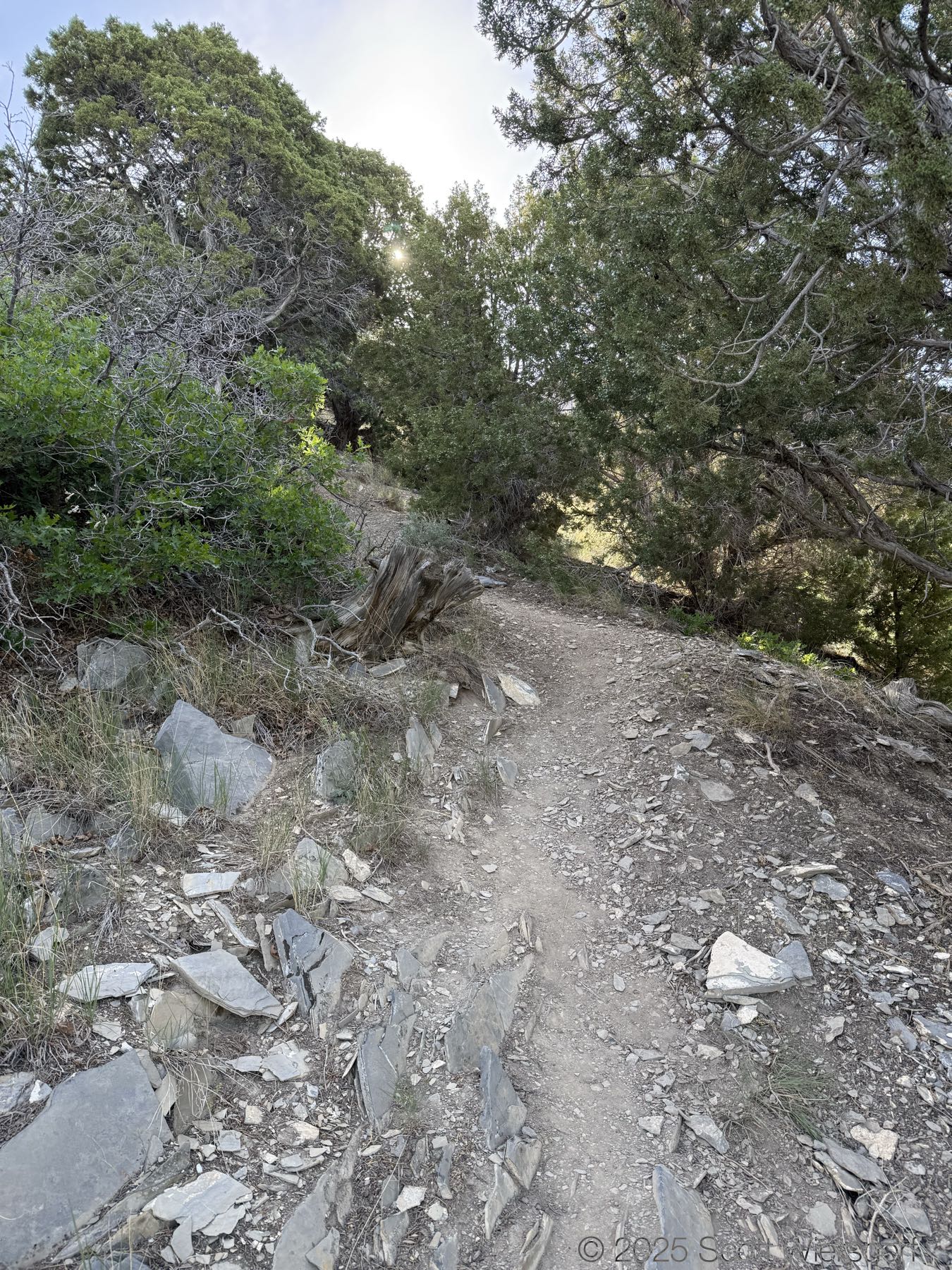
This trail is best done earlier in the morning. The bottom 3/4 of a mile is pretty exposed to the sun later morning through sunset. Above 7000’ elevation so you get into a lot of juniper, mahogany and Gambel oak on the trail, then again around 7700’ elevation you get into conifers almost until about 8700’ elevation, and then you’re near the top.
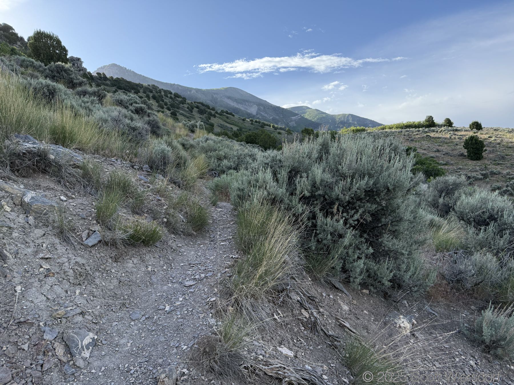
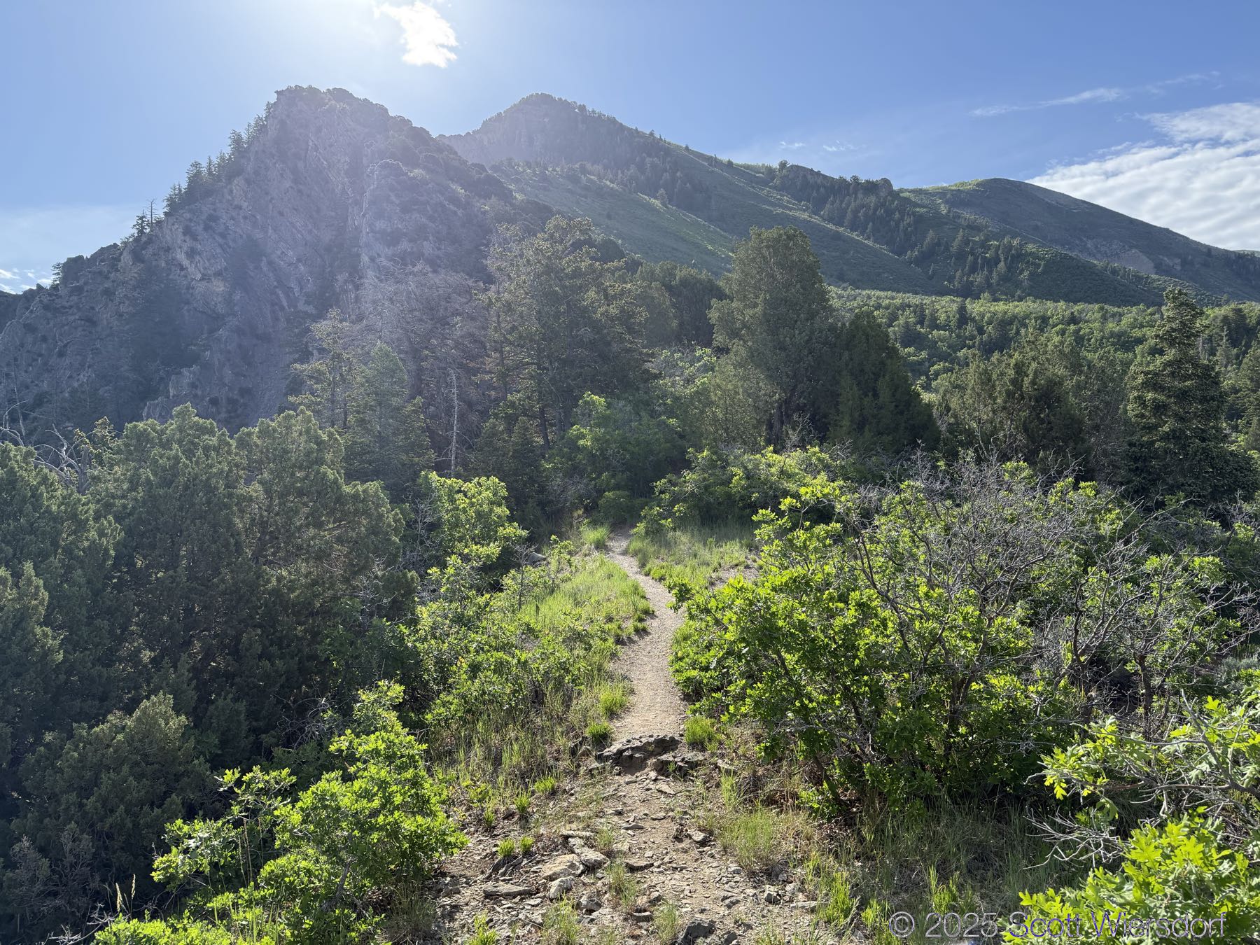
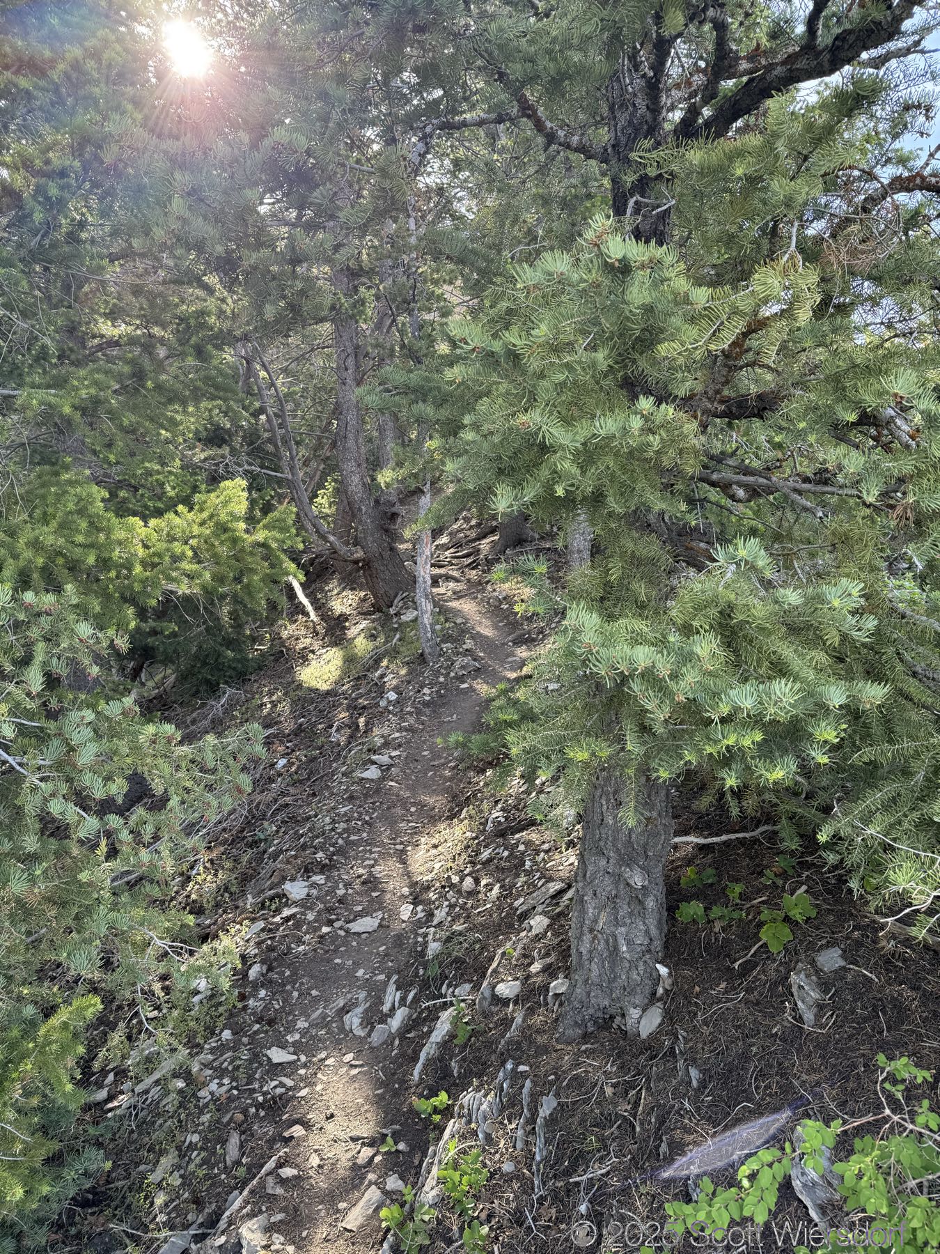
The trail is clear, easy to follow (with one or two minor exceptions), and has a lot of beautiful views on the way up as well as at the top.
That said, this trail is steep, as Girl on a Hike mentions. 3770’ of elevation gain in 2 and a half miles (1.9 miles as the crow flies). Mean grade is around 36%, with some sections approaching 60%.
This trail is a toe-jammer and knee-buster on the downhill. I recommend the route Girl on a Hike mentions , going out on the Timpooneke trail and then down one of Grove or Battle Creek canyons rather than the in-and-out that I took—I was short on time and this is what I had to deal with.
I felt pretty good on the way up, just a bit winded sometimes in the steep sections. I felt pretty good on the way down too for about half a mile, and then the IT bands started to complain about it. I had to walk backward probably a total of a quarter mile off and on just to keep moving.
In the end, I was hoping for a hang glider to get down. I’ve never been in a hang glider but was ready to learn given the amount of ache I was having.
Now, please enjoy some photos.
Photos
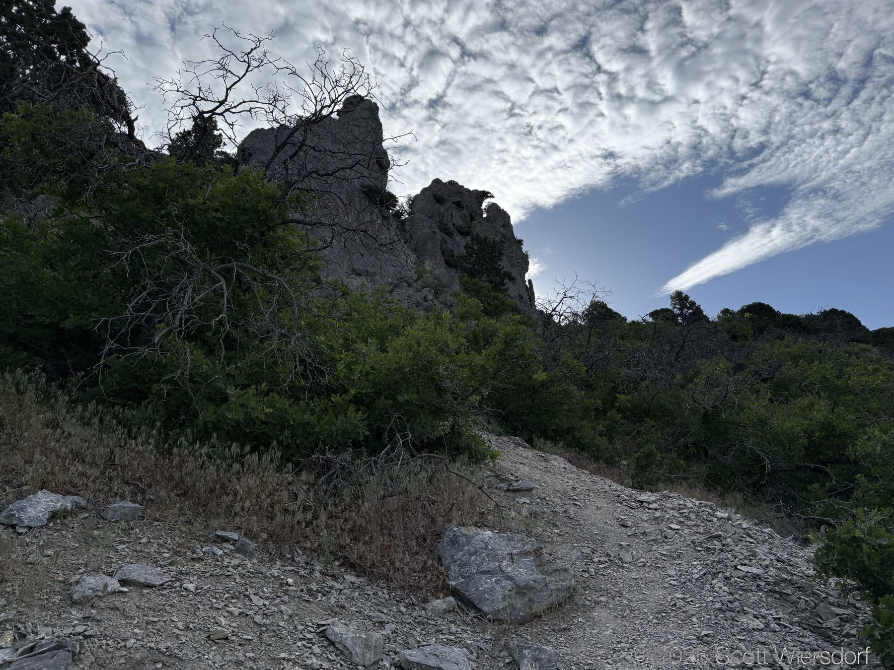
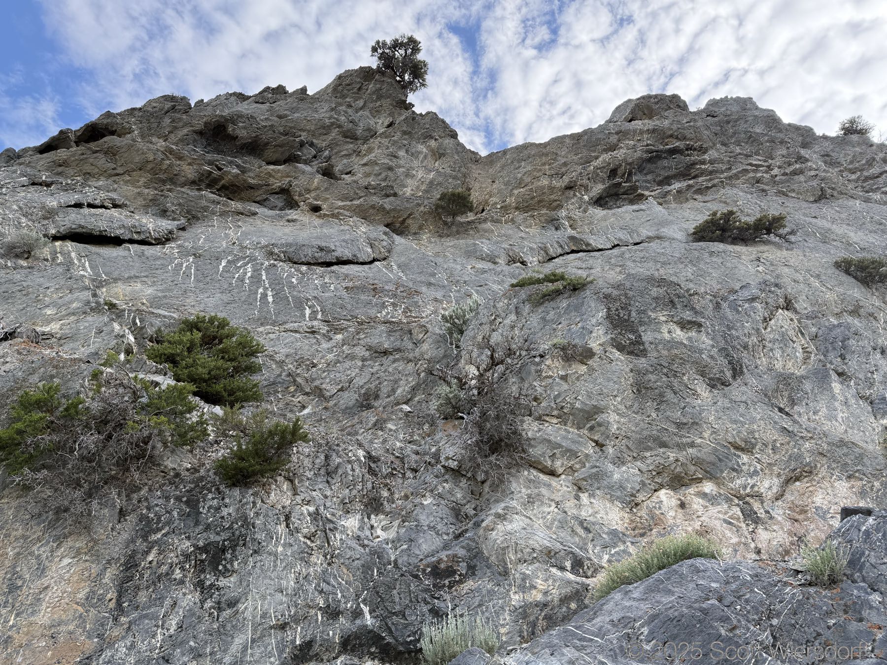
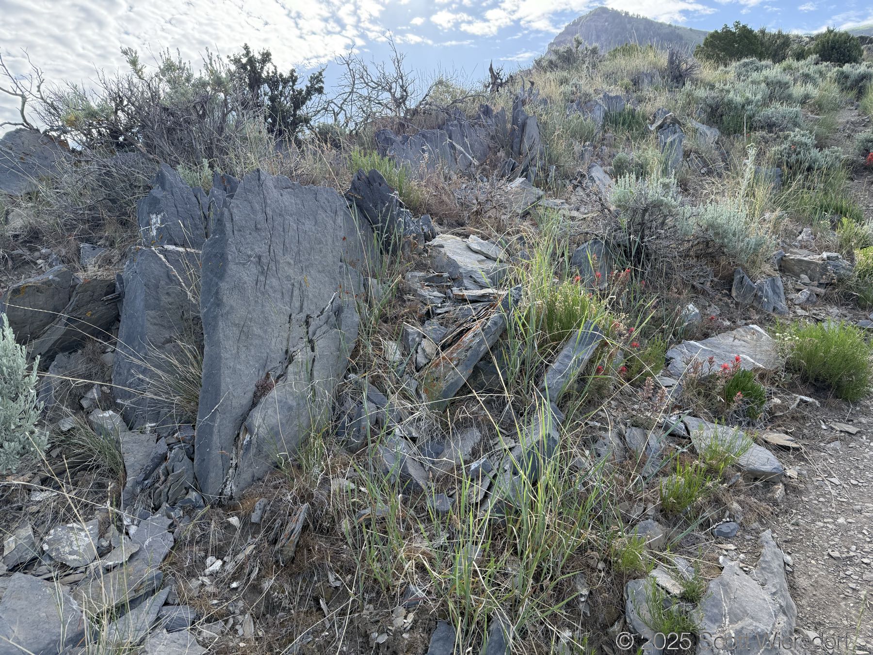
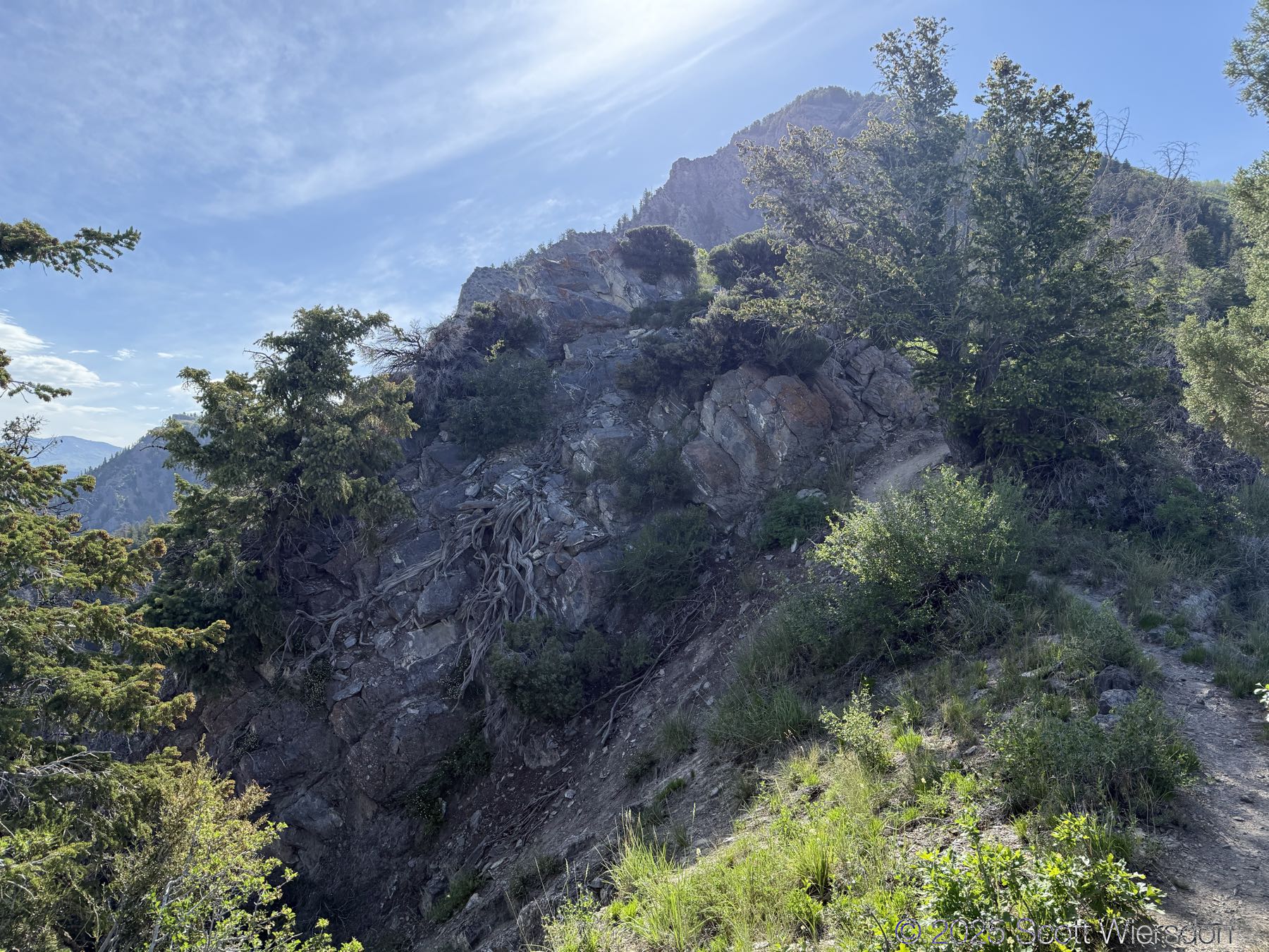
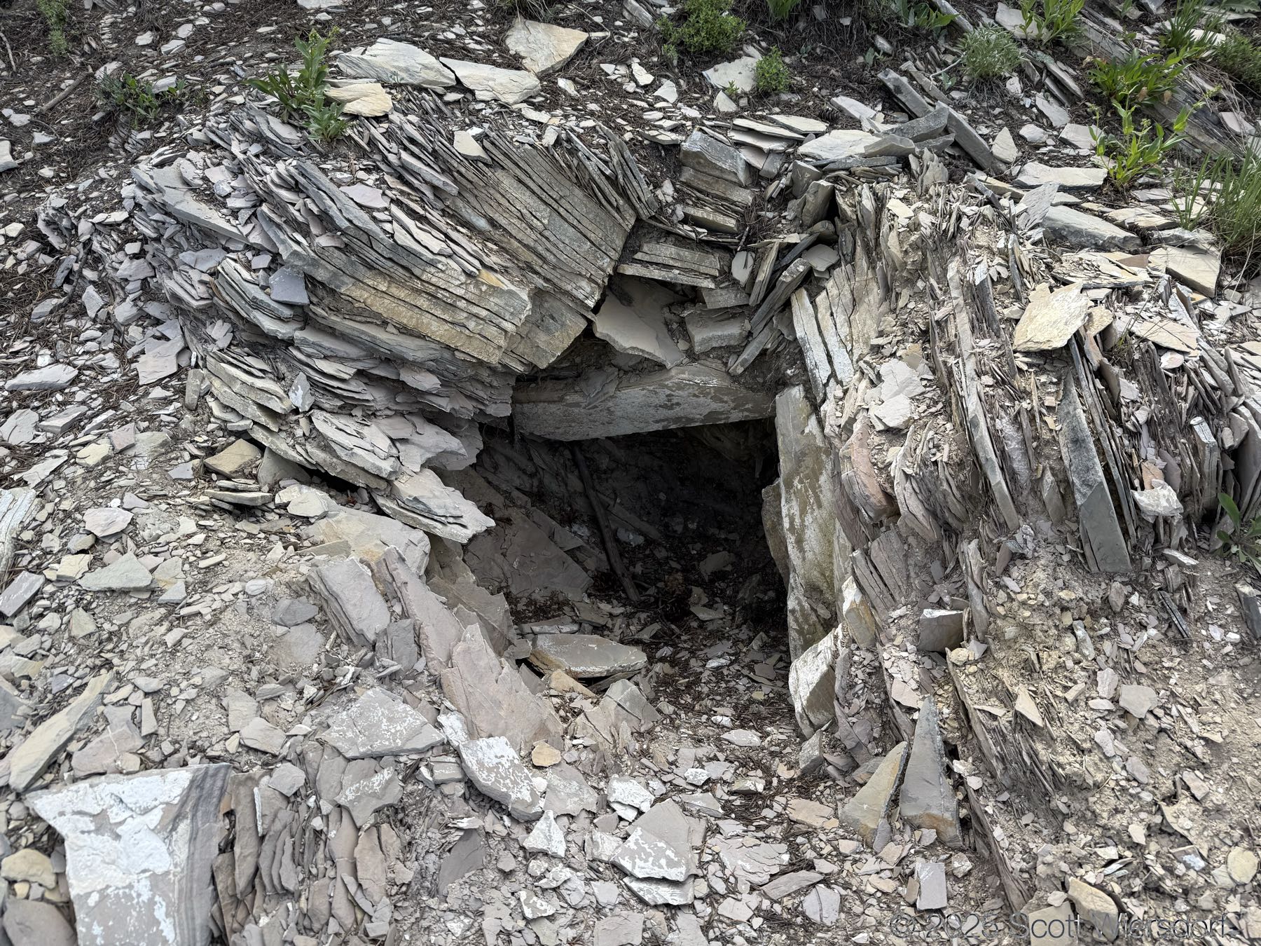
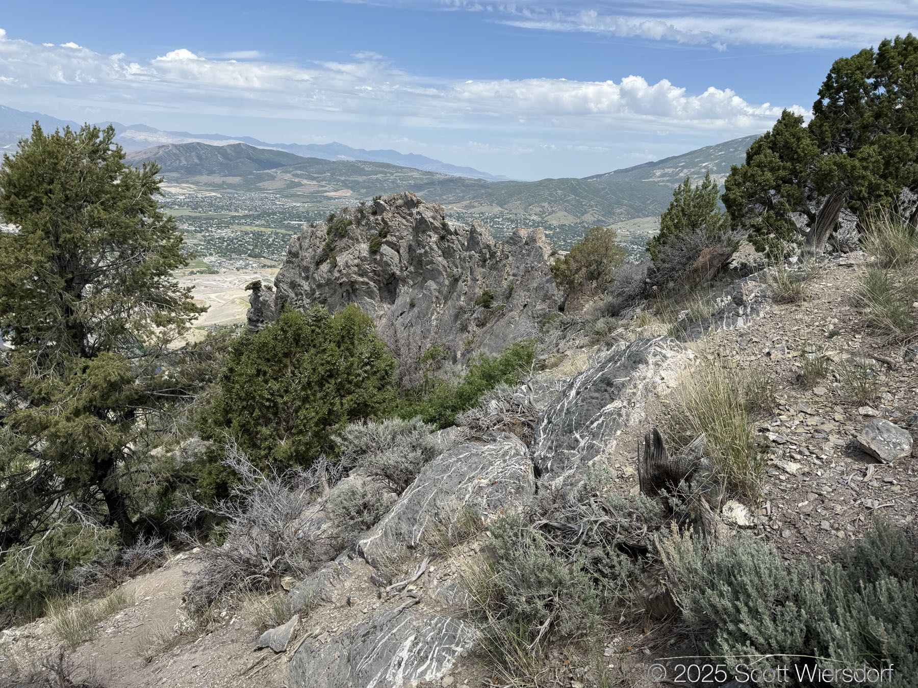
This big limestone fin was kind of interesting.
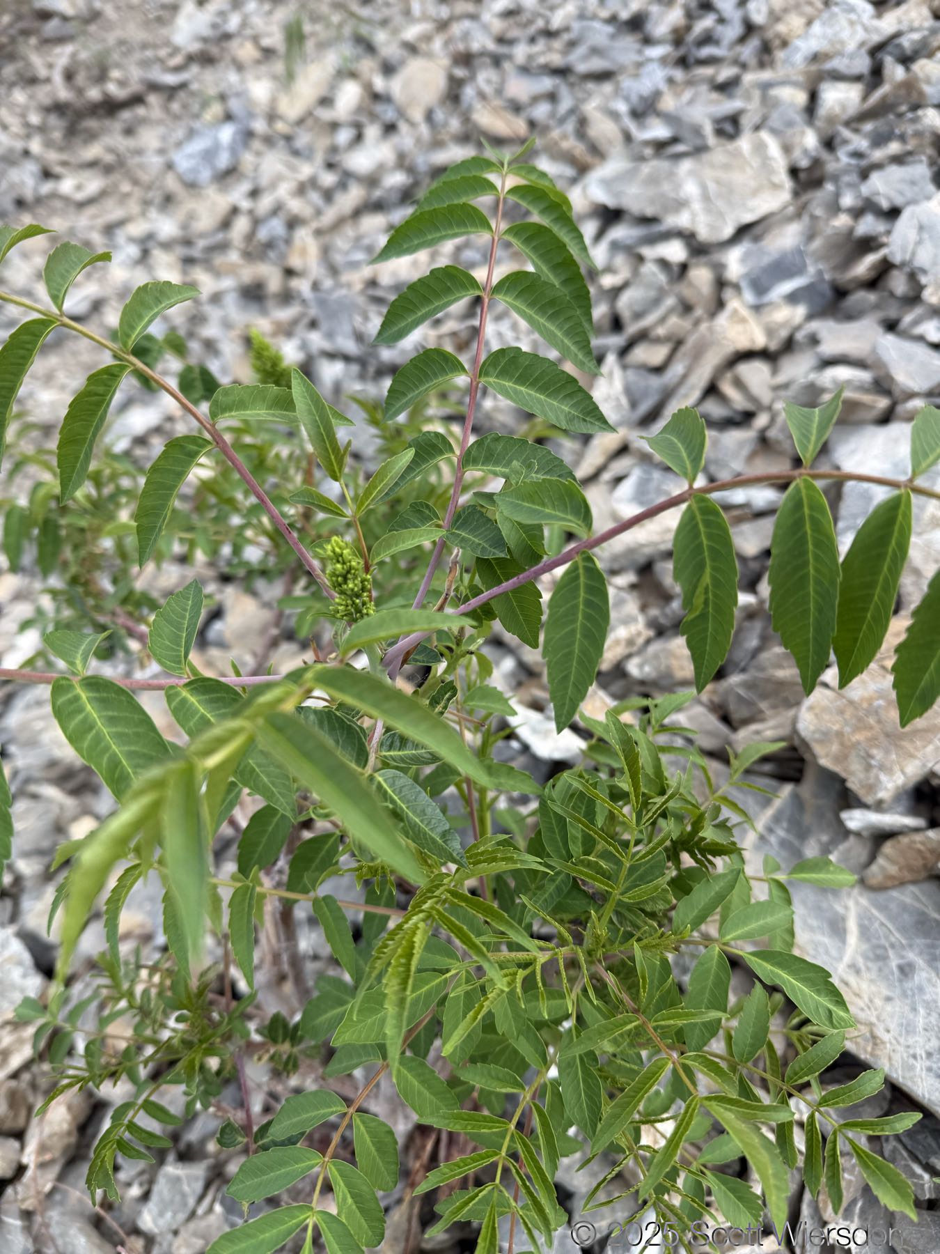
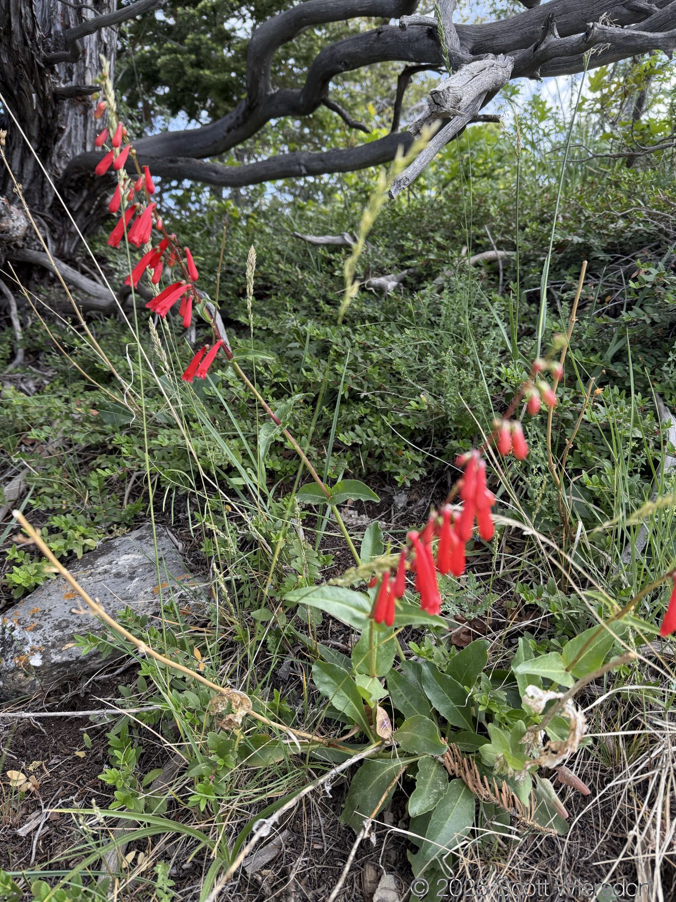
A li’l danger doodle. It might not be dangerous, but I avoid touching fuzzy things like this with bare hands:
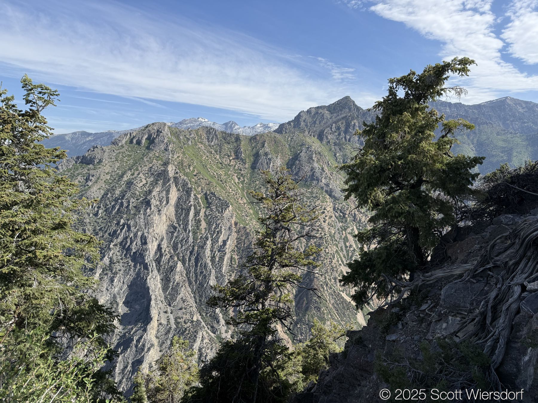
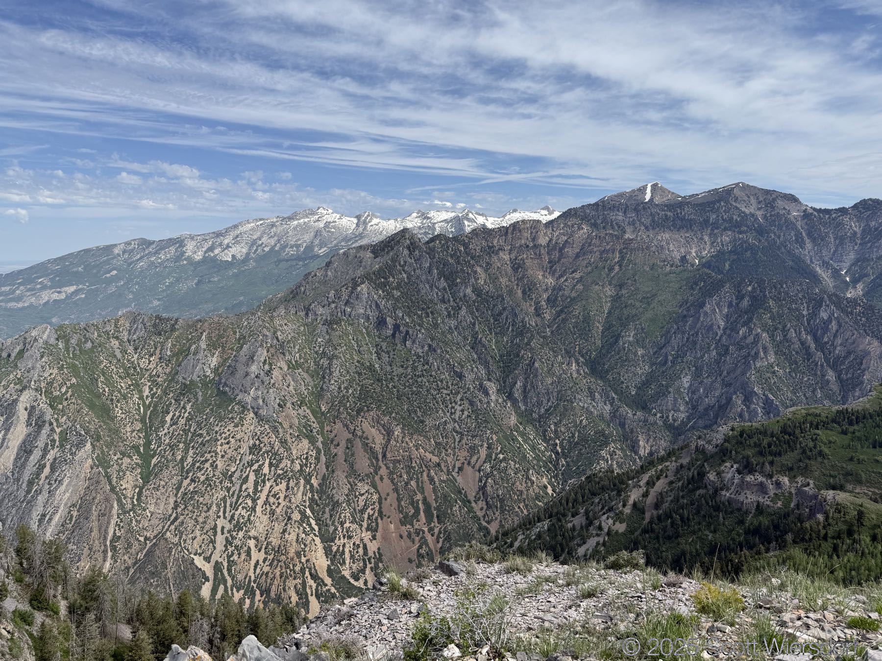
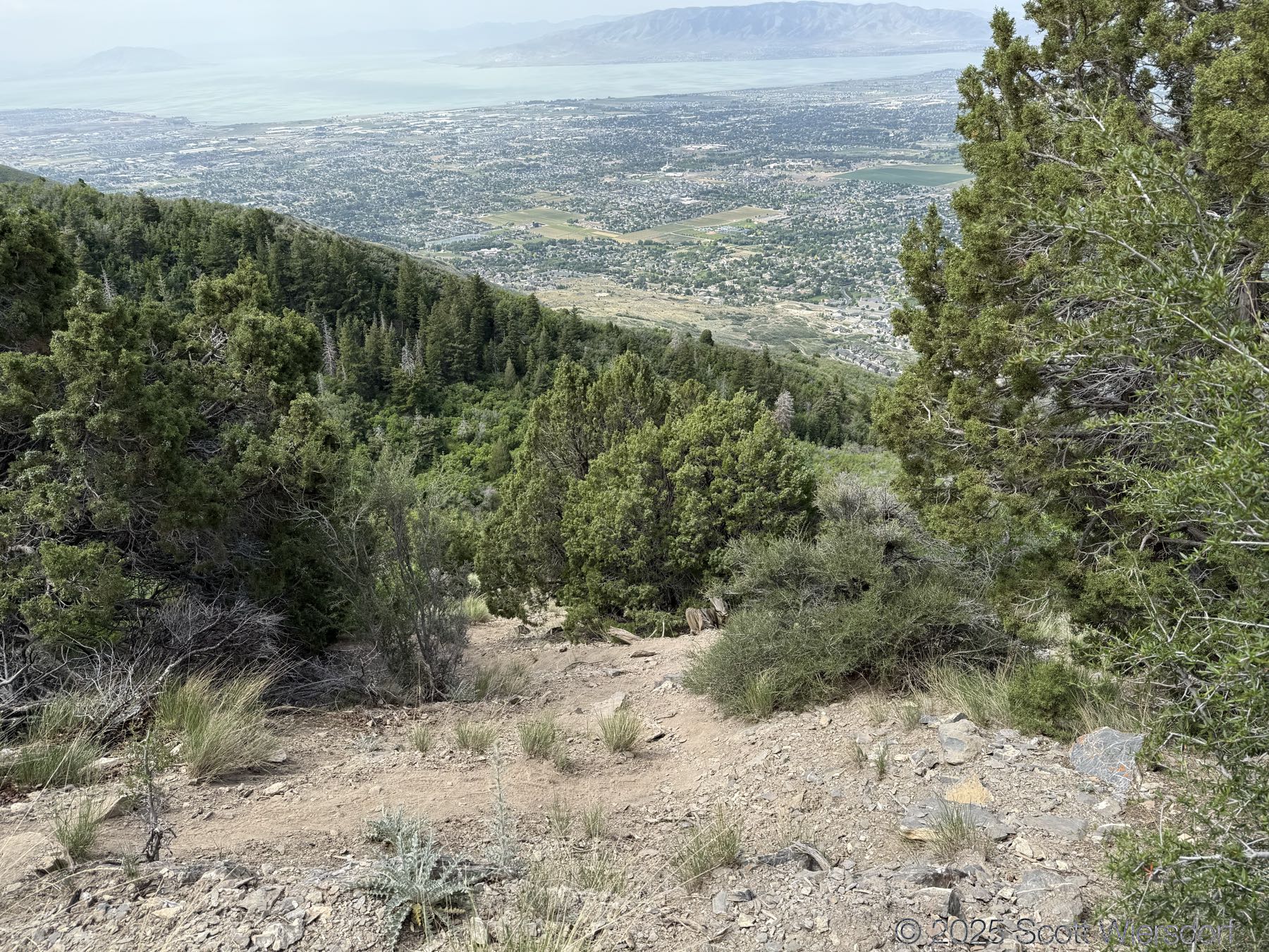
Pano looking down into American Fork Canyon:
Check out these tree roots:
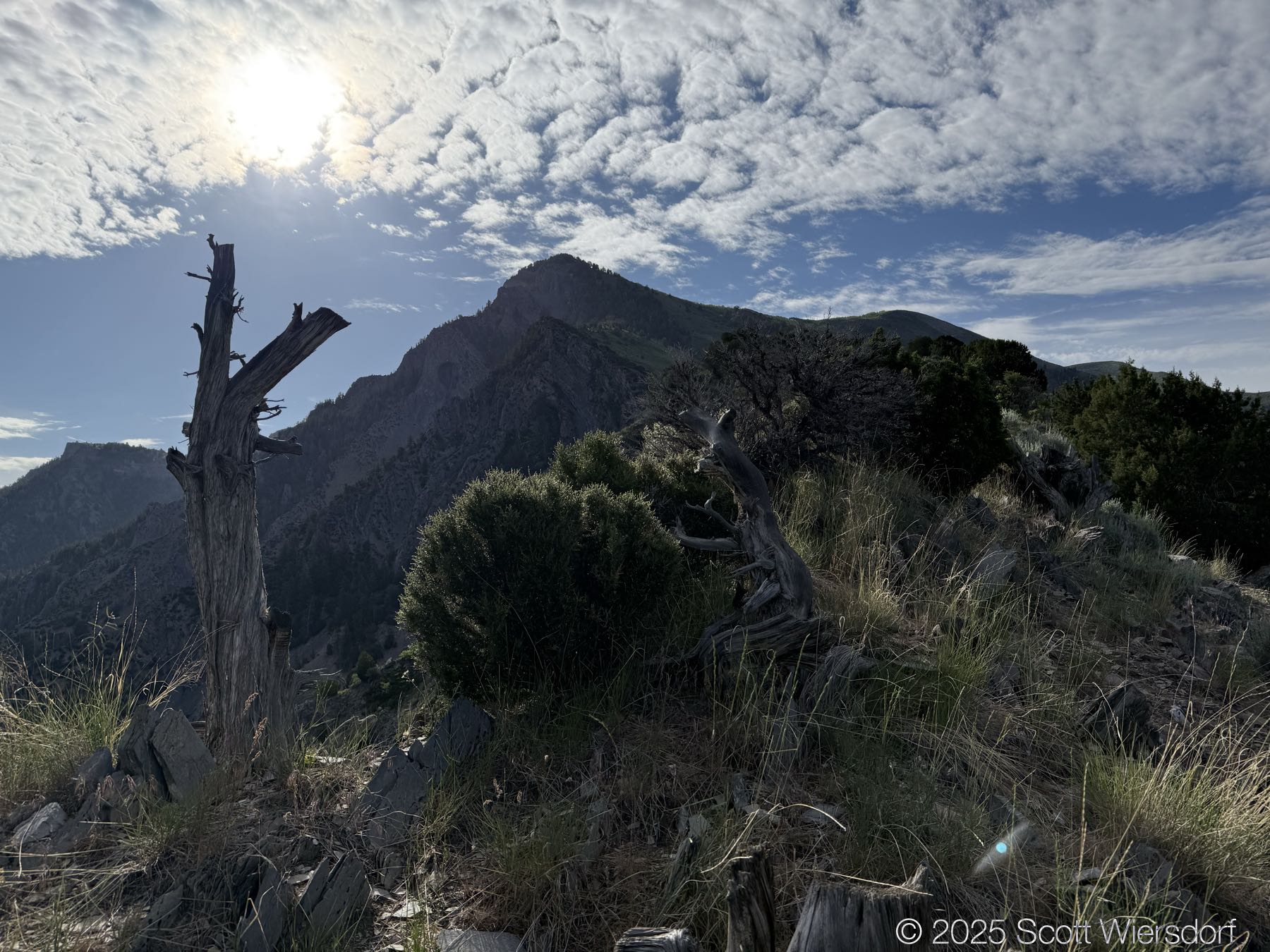
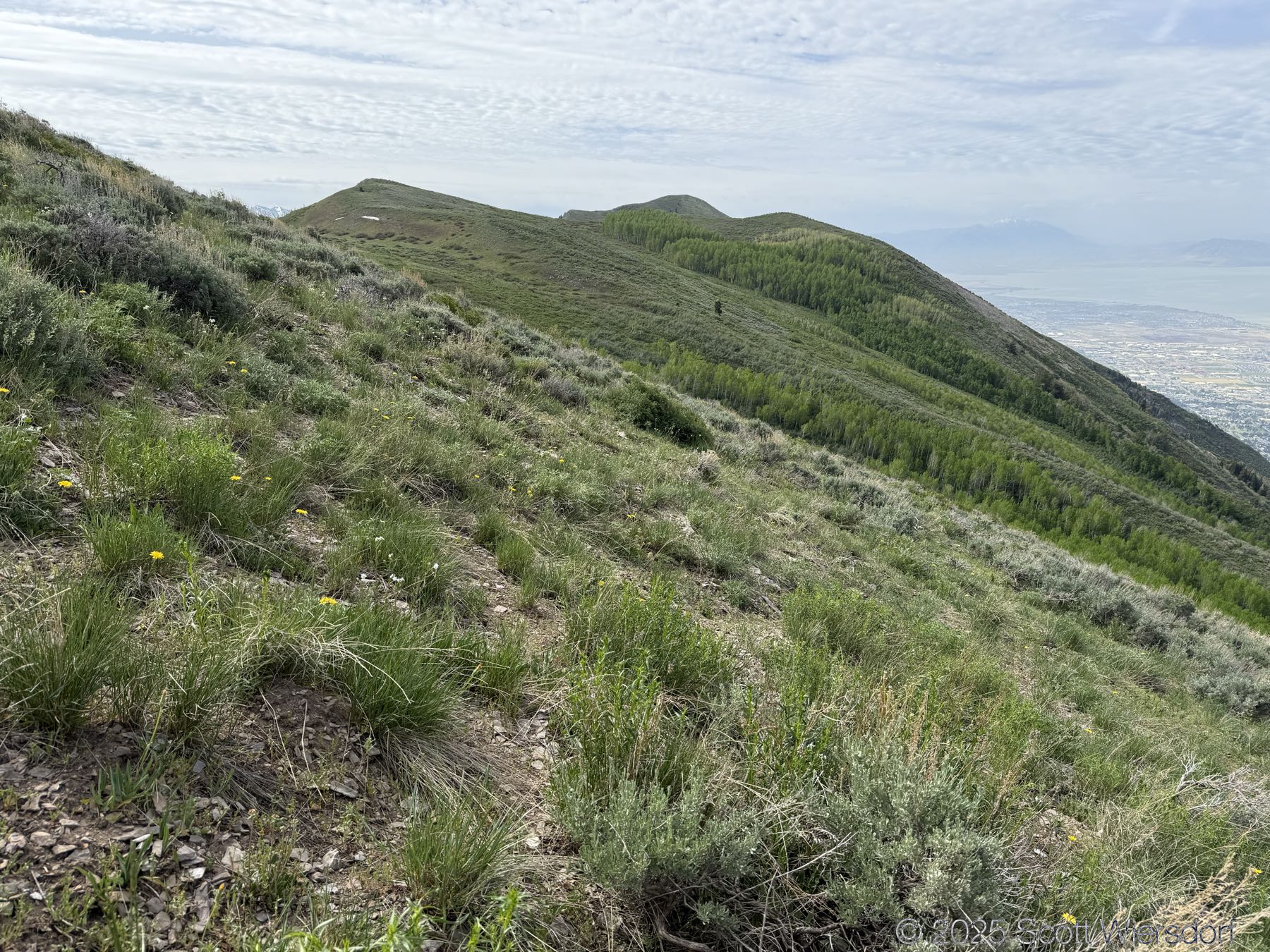
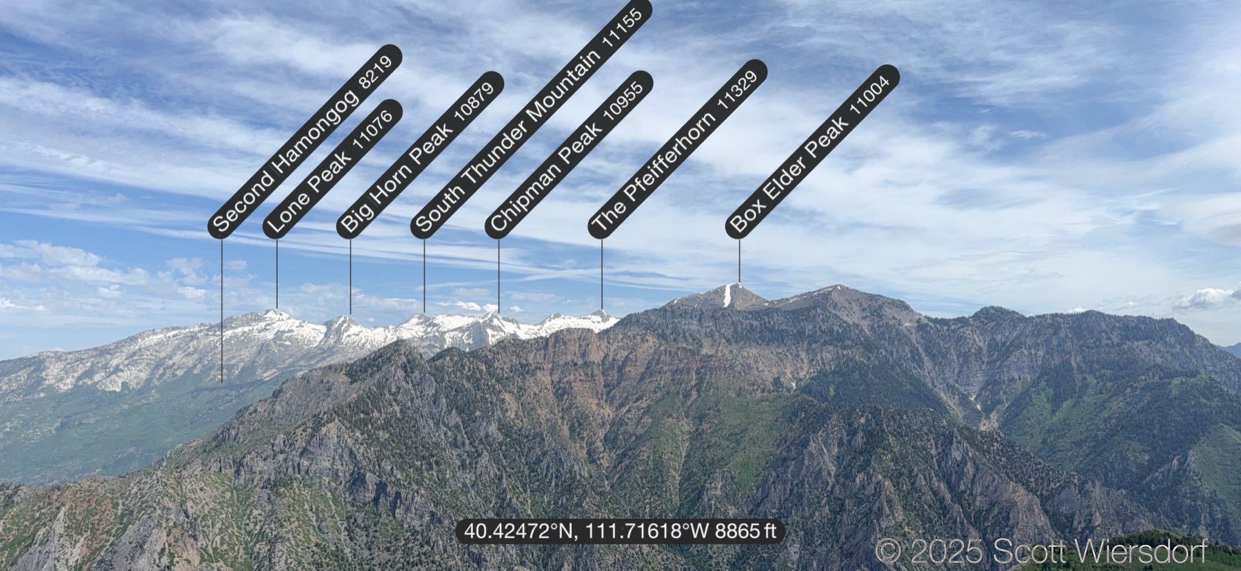
Looking north toward Little Cottonwood Canyon ridgeline.
Even better shade. This section of the trail, while still steep, afforded a deeper shade than the mahoganies below.
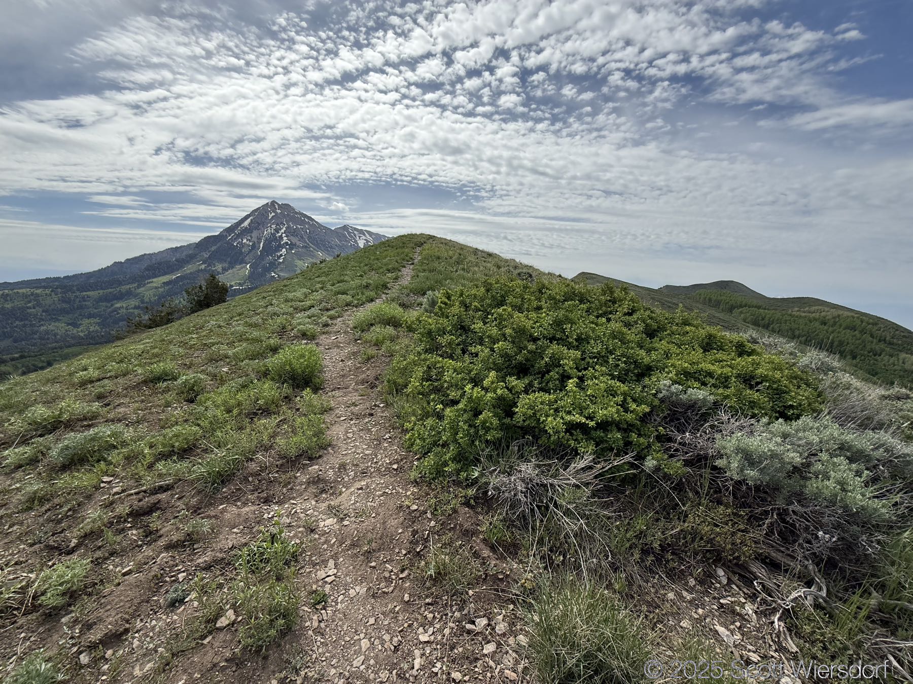
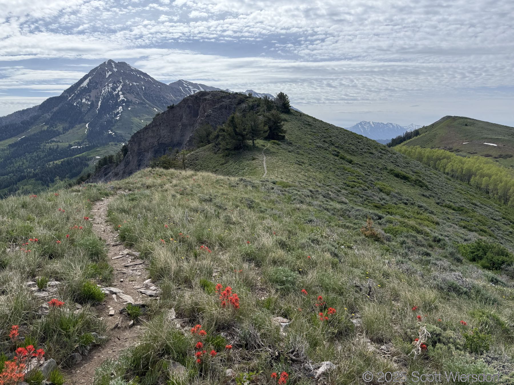
Coming out of the conifers, you’re near the top of the north peak. North Timpanogos to the left.
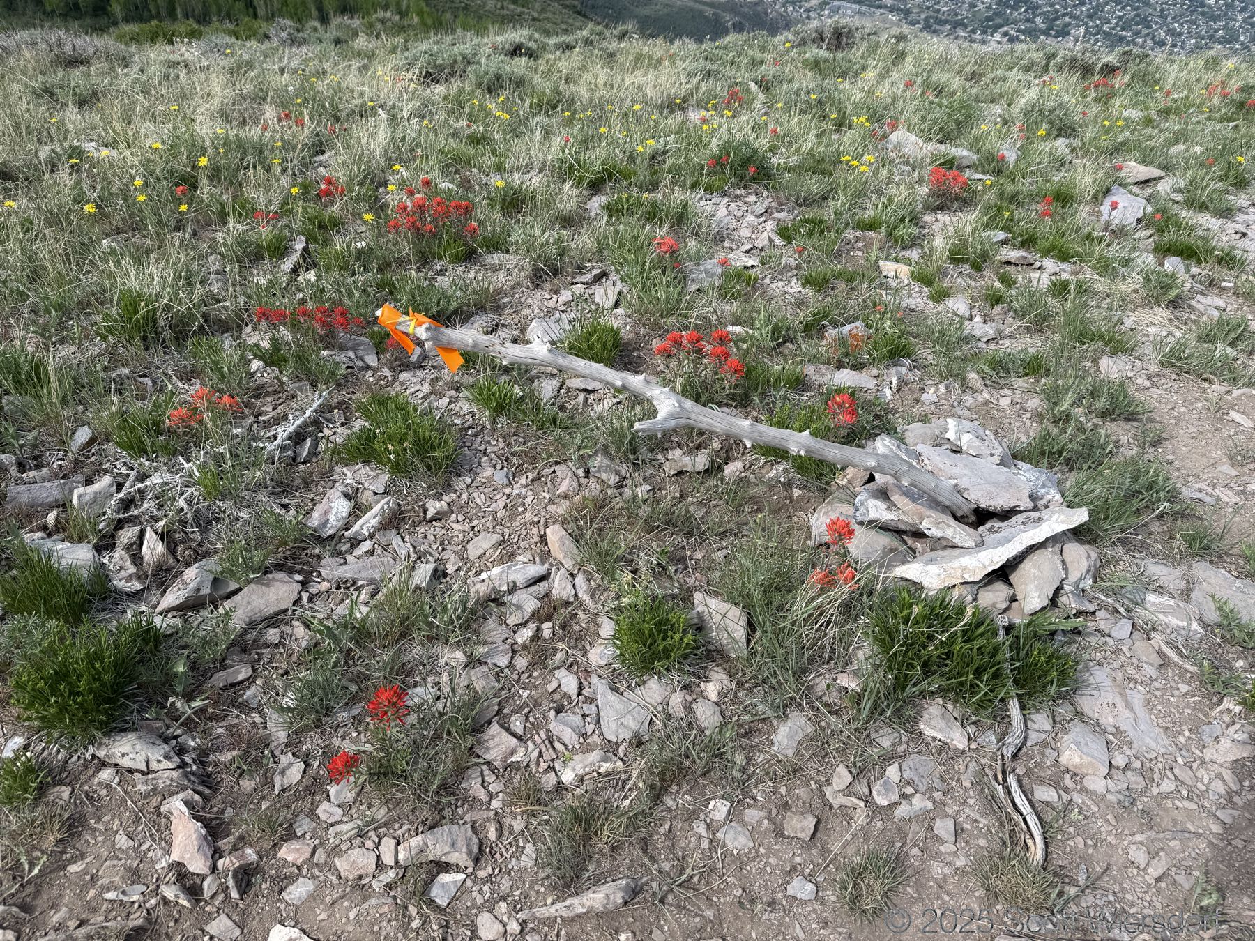
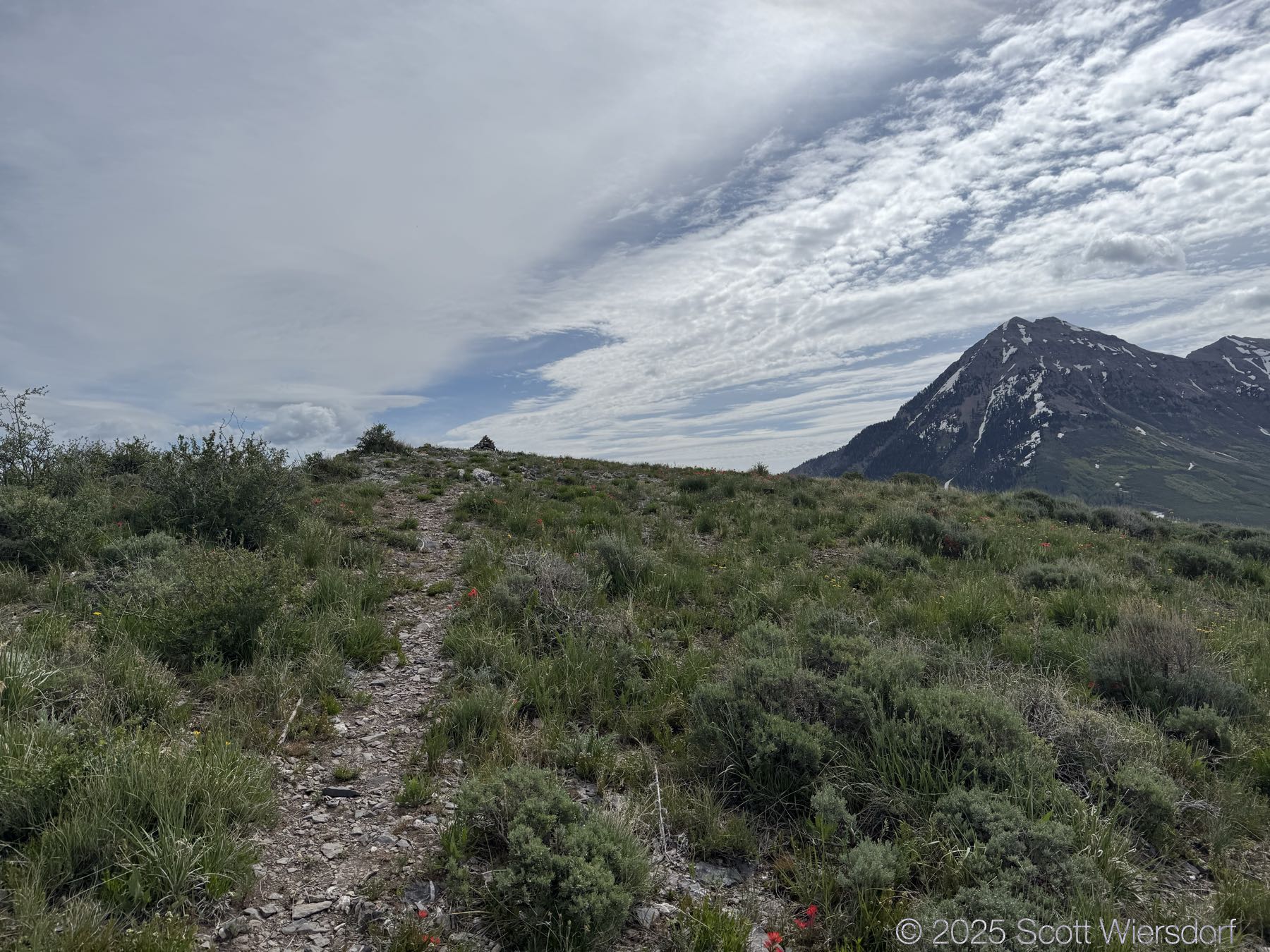
I’m not sure what this cairn and flag represent. I felt honored to be there. It’s on the ridgeline some several hundred feet away from the peak.
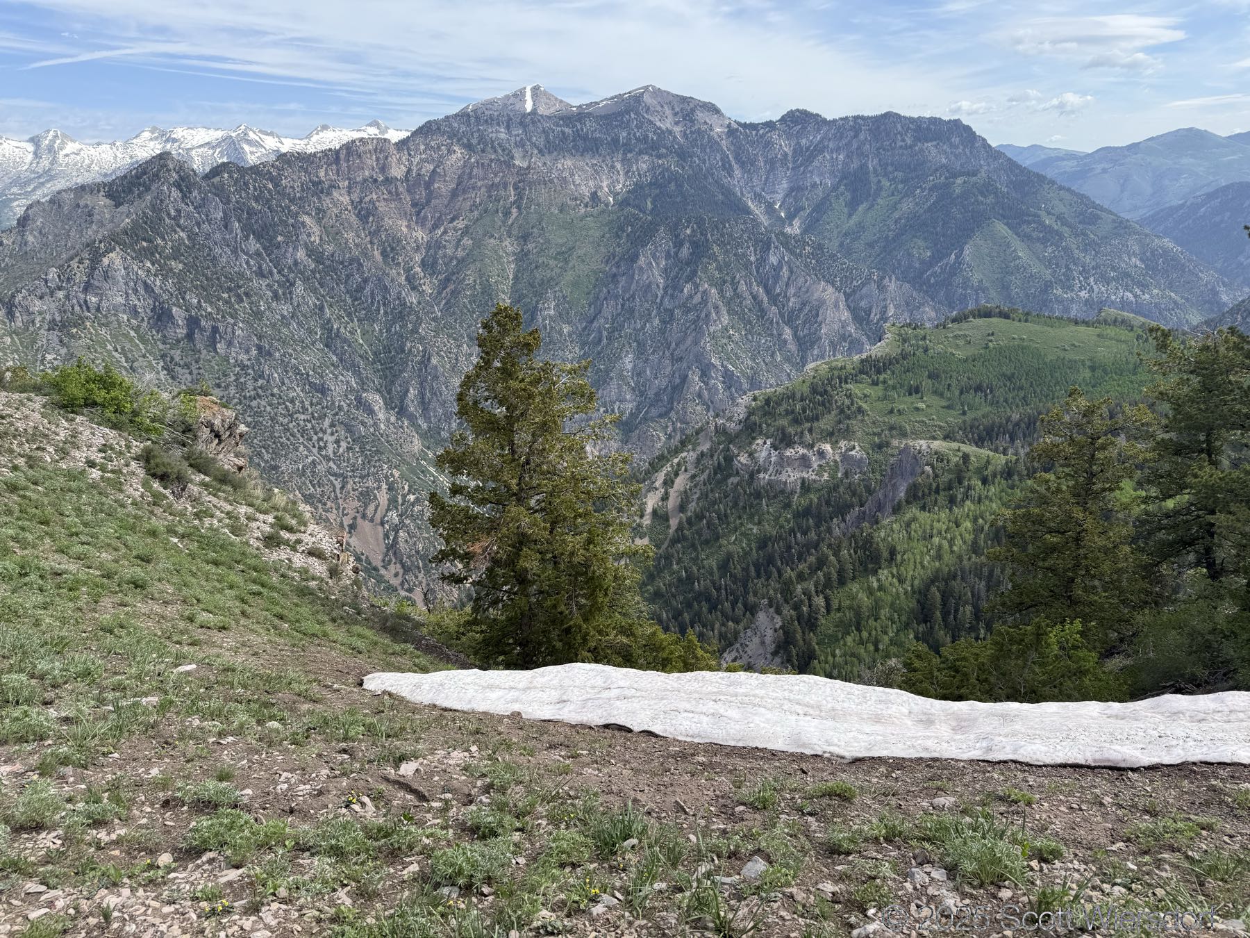
I found a little snow.
This one’s for you, Mark:
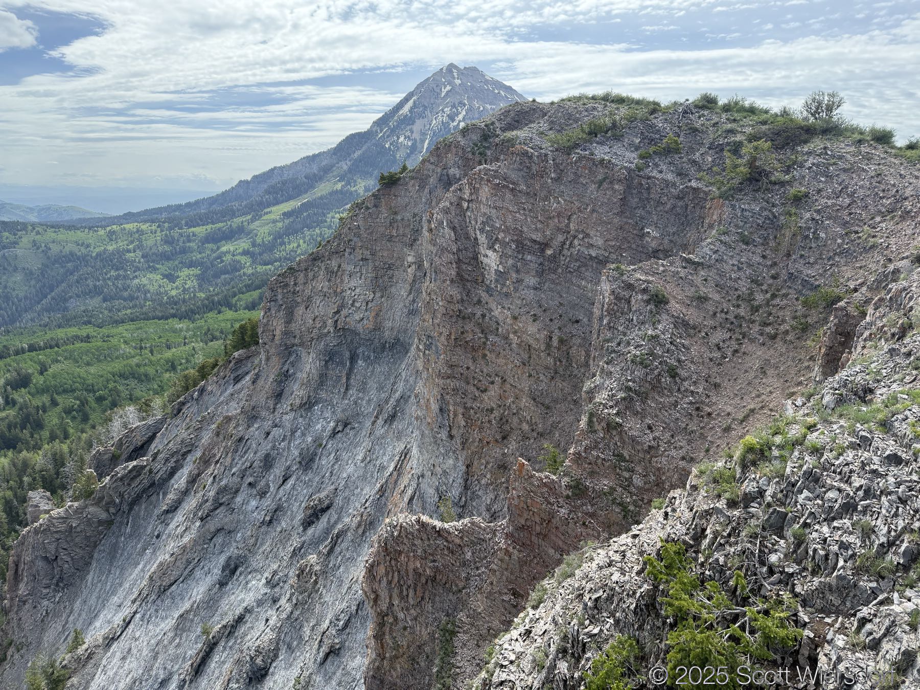
The drop north into American Fork Canyon is somewhat dramatic.
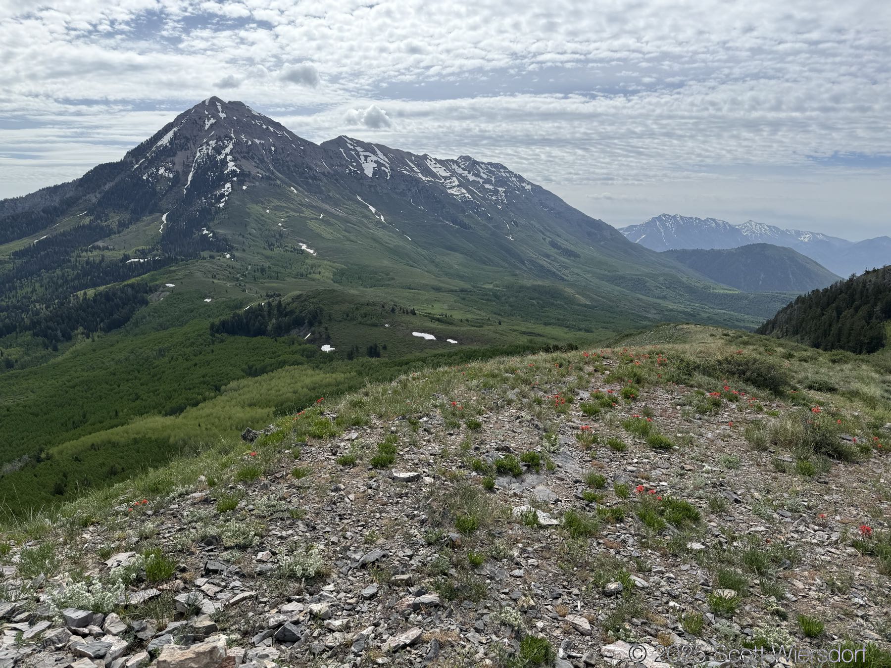
A view of American Fork Canyon and nearby peaks:
Pano:
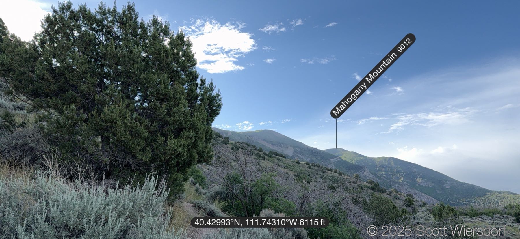
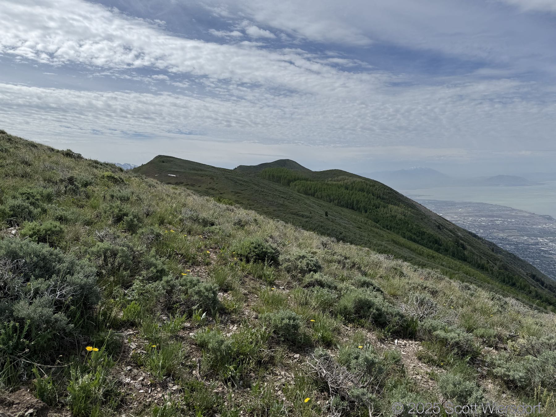
View of Timpanogos and Chris Flat area behind Mahogany Mountain:
The aspen stand in the middle of the picture is the top part of Heisett’s Hollow.
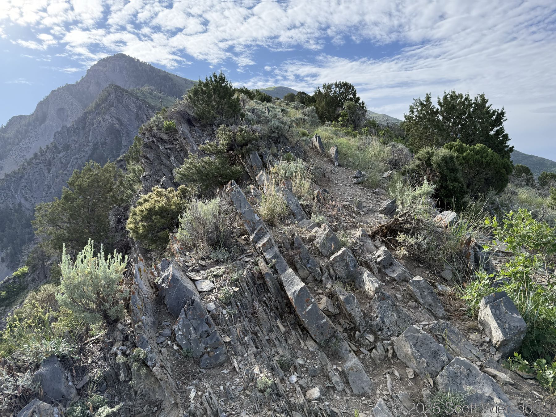
A little hard to see, but there were some switchbacks. They’re just very short and very steep.
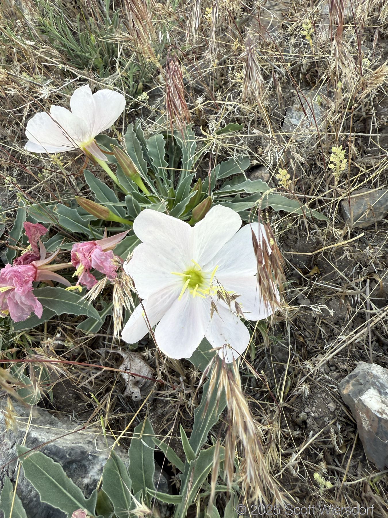
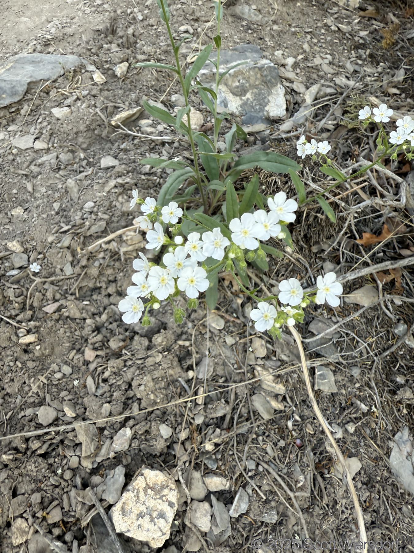
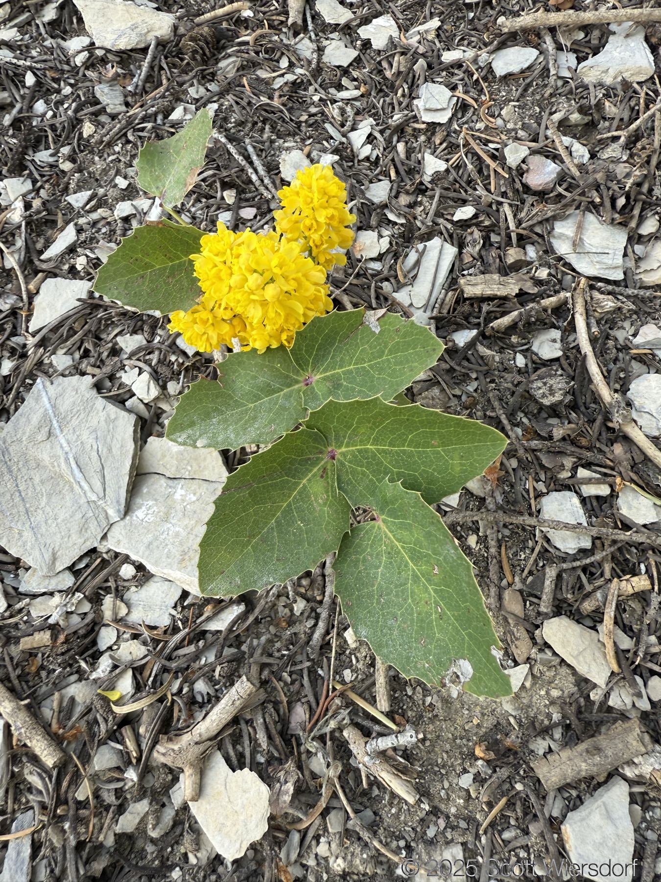
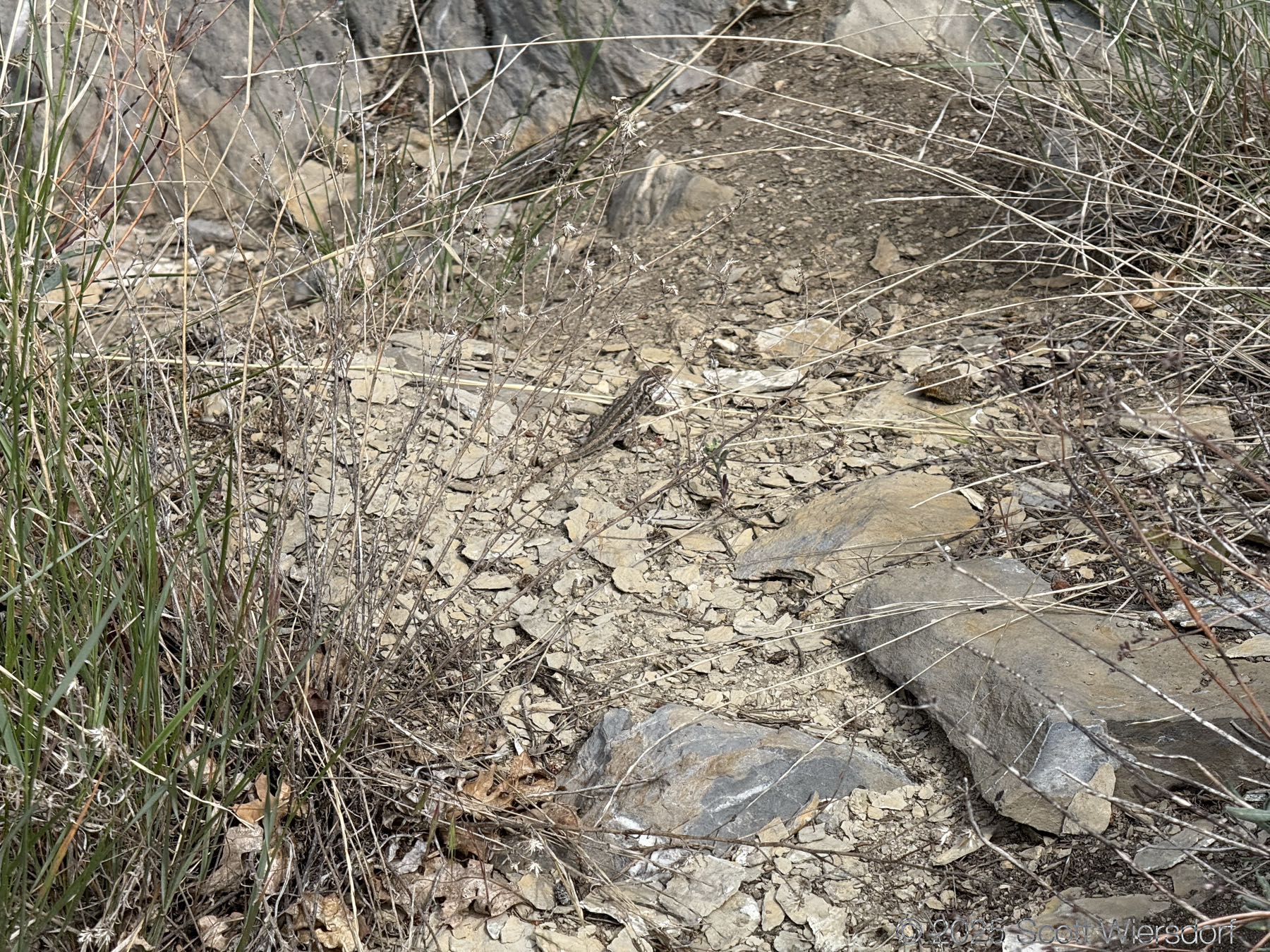
Some of the wildlife:
Open questions
Q. What’s with the little off-trail excursion at the 0.88 mile mark?
A. There was a tree I simply had to examine more closely. I left no trace.
Route and map
My GPX track (view on Footpath ).
Last modified on 2025-06-02