Ezekiel 39:11:
And it shall come to pass in that day, that I will give unto Gog a place there of graves in Israel, the valley of the passengers on the east of the sea: and it shall stop the noses of the passengers: and there shall they bury Gog and all his multitude: and they shall call it The valley of Hamon-gog.
The trailhead is on Lehi City property:
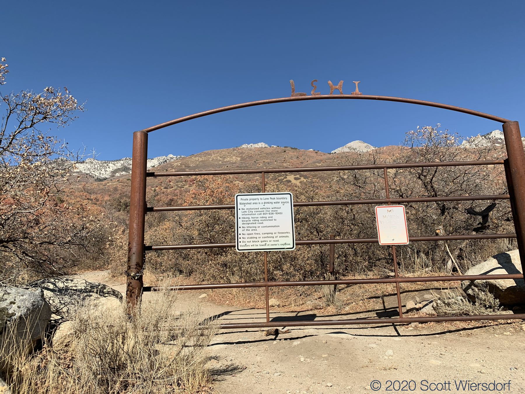
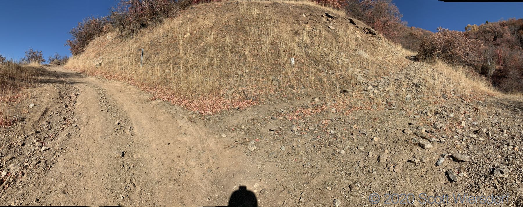
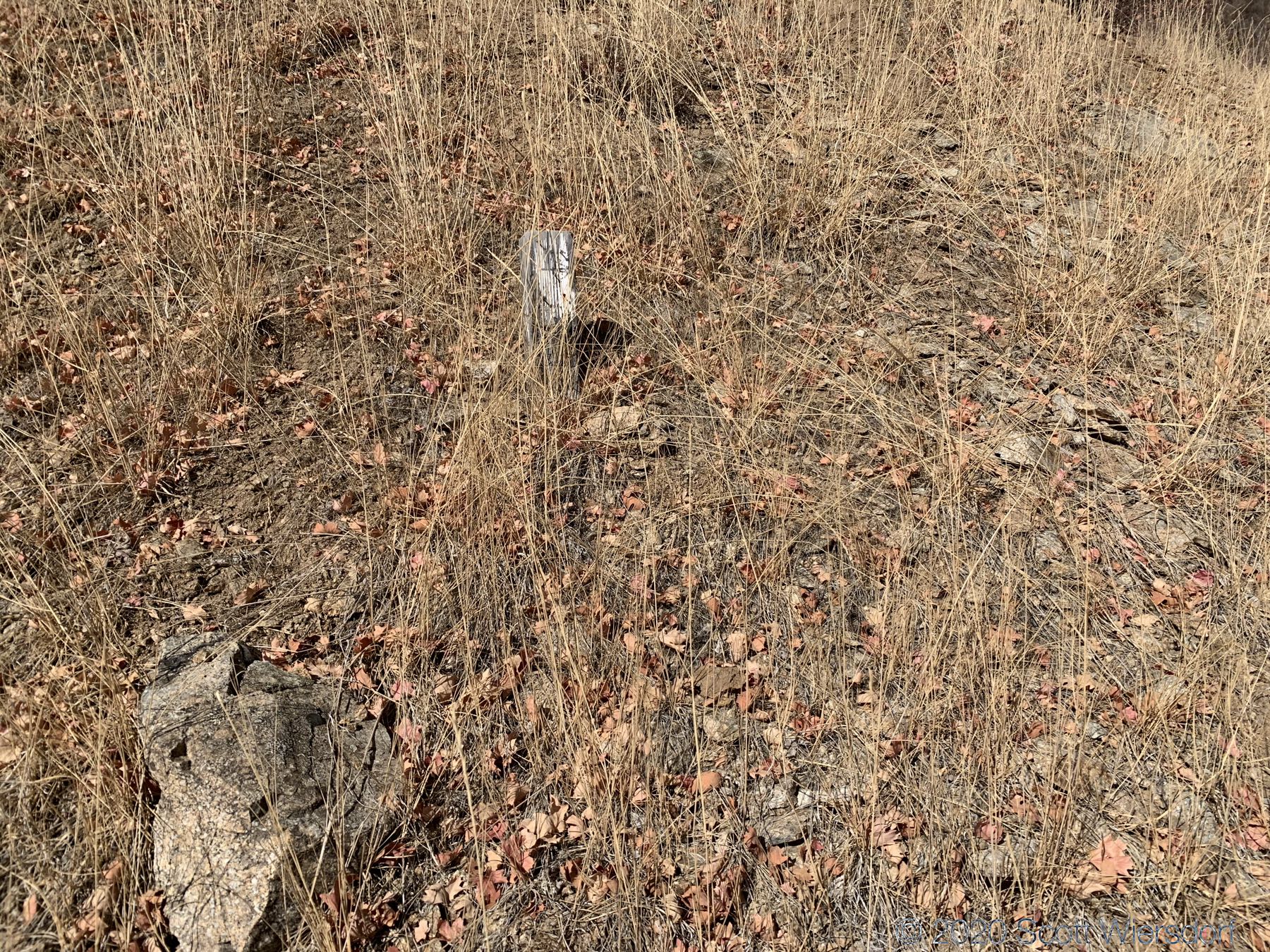
After passing this gate, the first mile of the trail is a dirt service road (no motorized vehicles). You can stay on the road (adds .25 miles) or follow a trail that shortcuts the service road switchback. The trail leaves the road at a switchback and isn’t clearly marked other than a small post with some nails or screws in it:
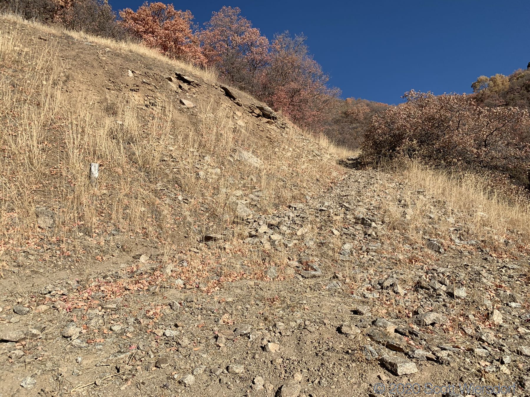
The trail shortcut starts out fine, but a good portion of it is 30–40% grades and follows a water pipeline:
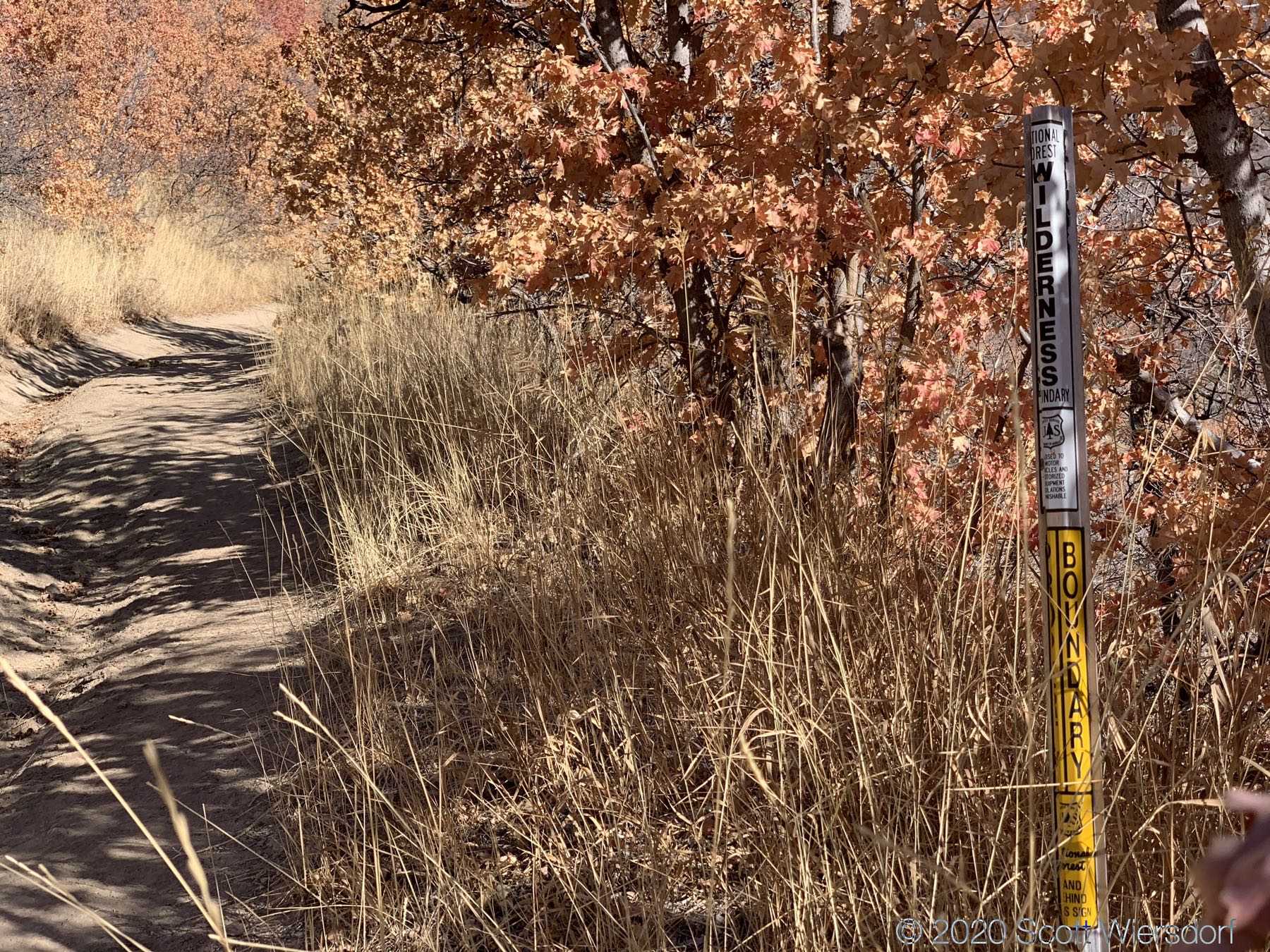
I was glad I had my trekking poles. After this shortcut you rejoin the service road and enter the Lone Peak Wilderness Area:
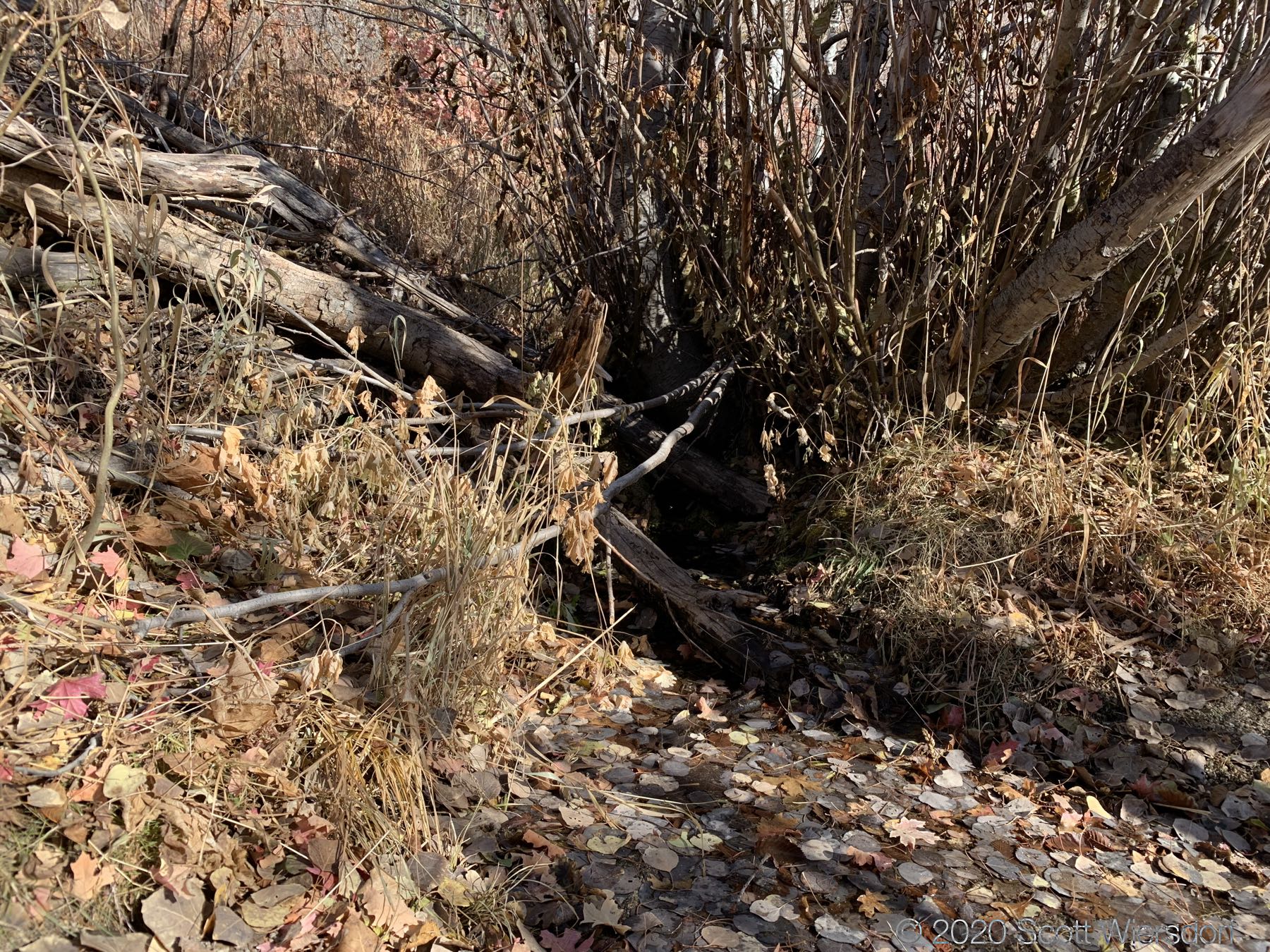
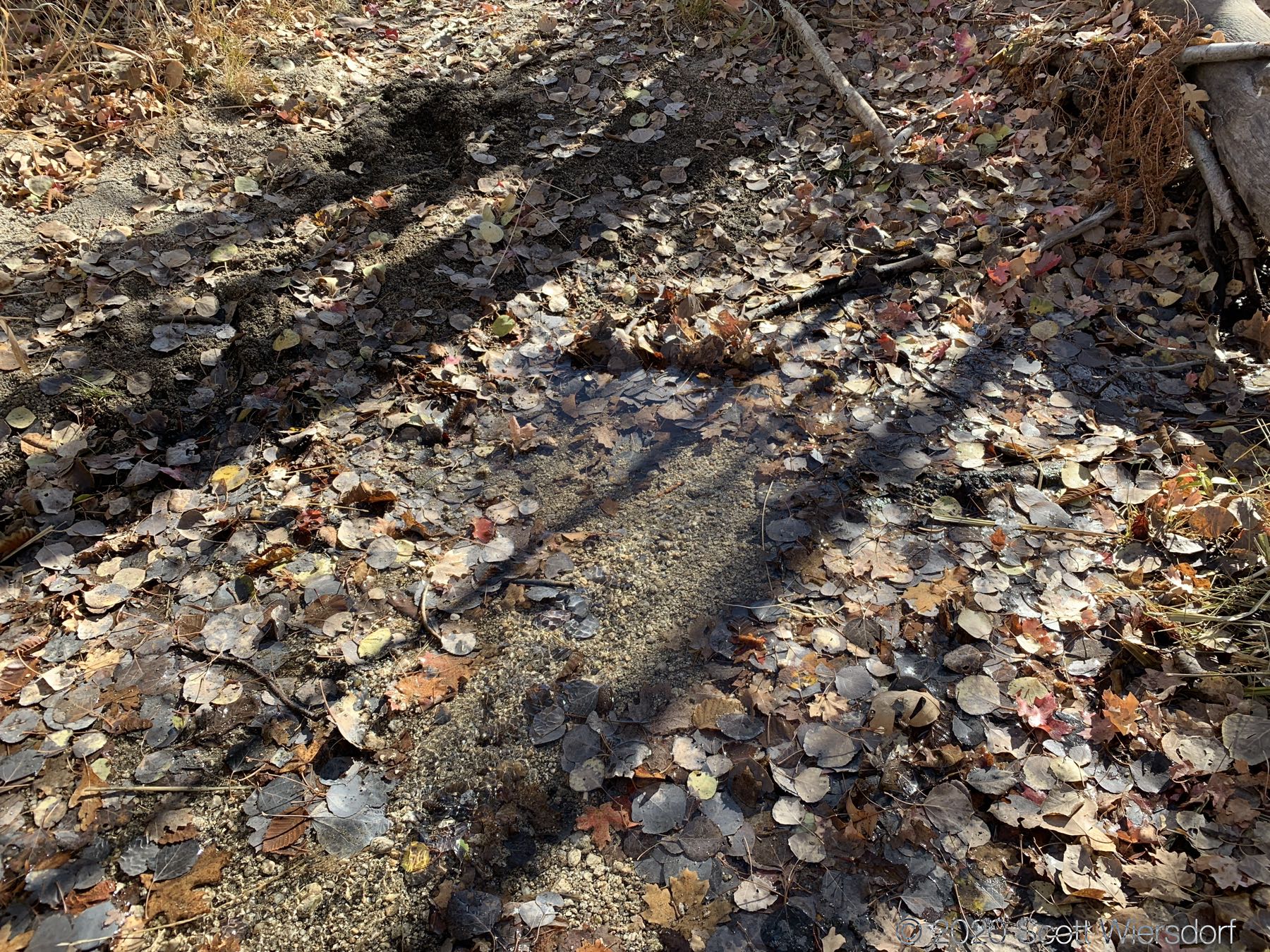
Just past this Wilderness Area sign the trail crosses over a stream. I was hiking in early November after a particularly dry summer, but there was still water running.
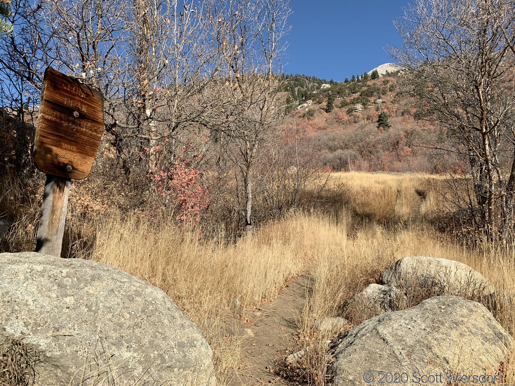
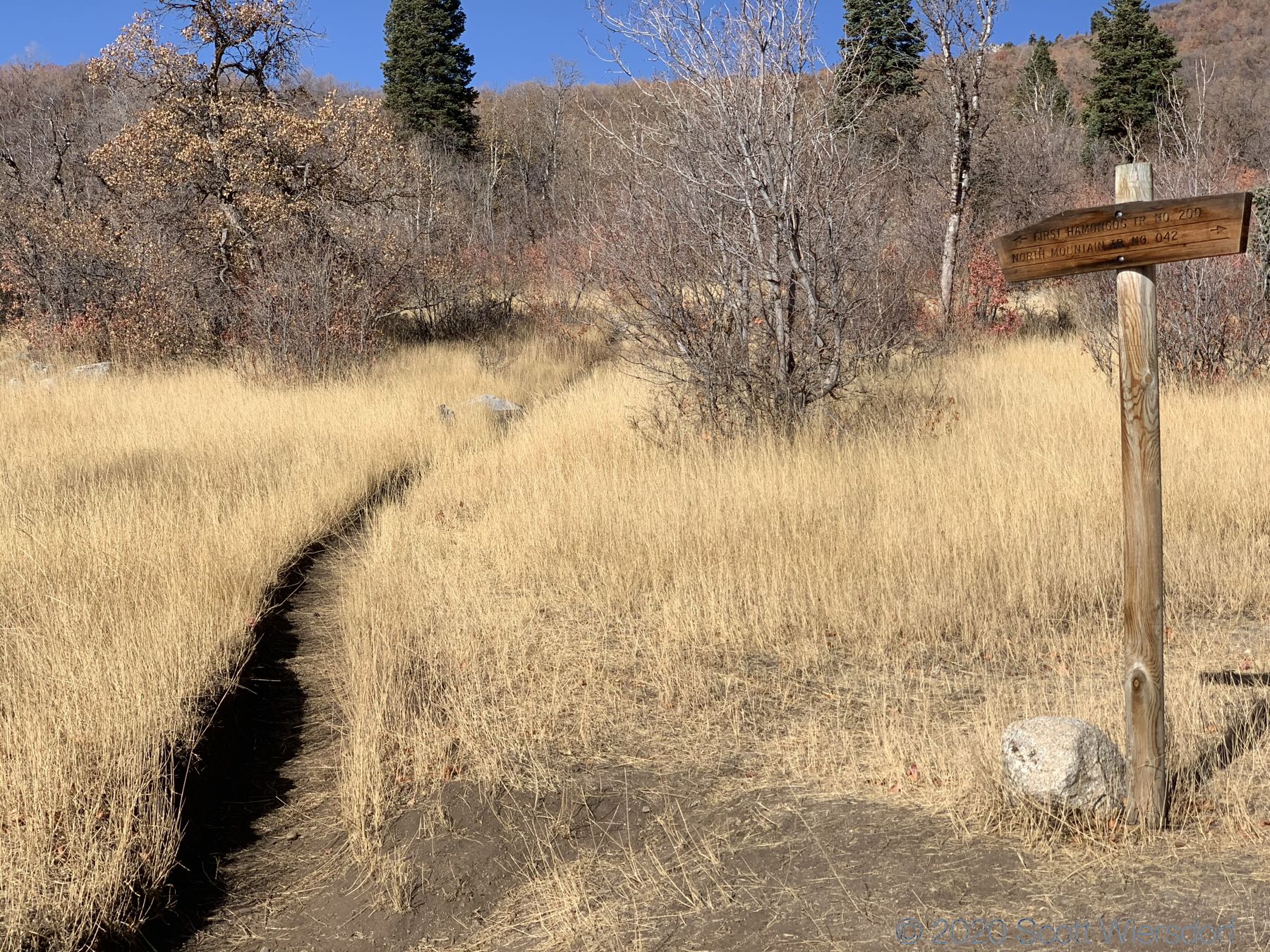
It’s not clear to me where the “hamongogs” are. The maps all seem to indicate that the hamongog is just south of where the trail runs, but those areas look overgrown and I didn’t feel like bushwhacking. I also I didn’t see any side trails along the way, or any markers that said “This way to the hamongog”. I felt like the meadows where the trails diverge are probably close enough, so the “First Hamongog” is more or less this area:
The next (and last) opportunity for water I found was about 1.75 miles on the trail just past First Hamongog where a small stream crosses the trail.
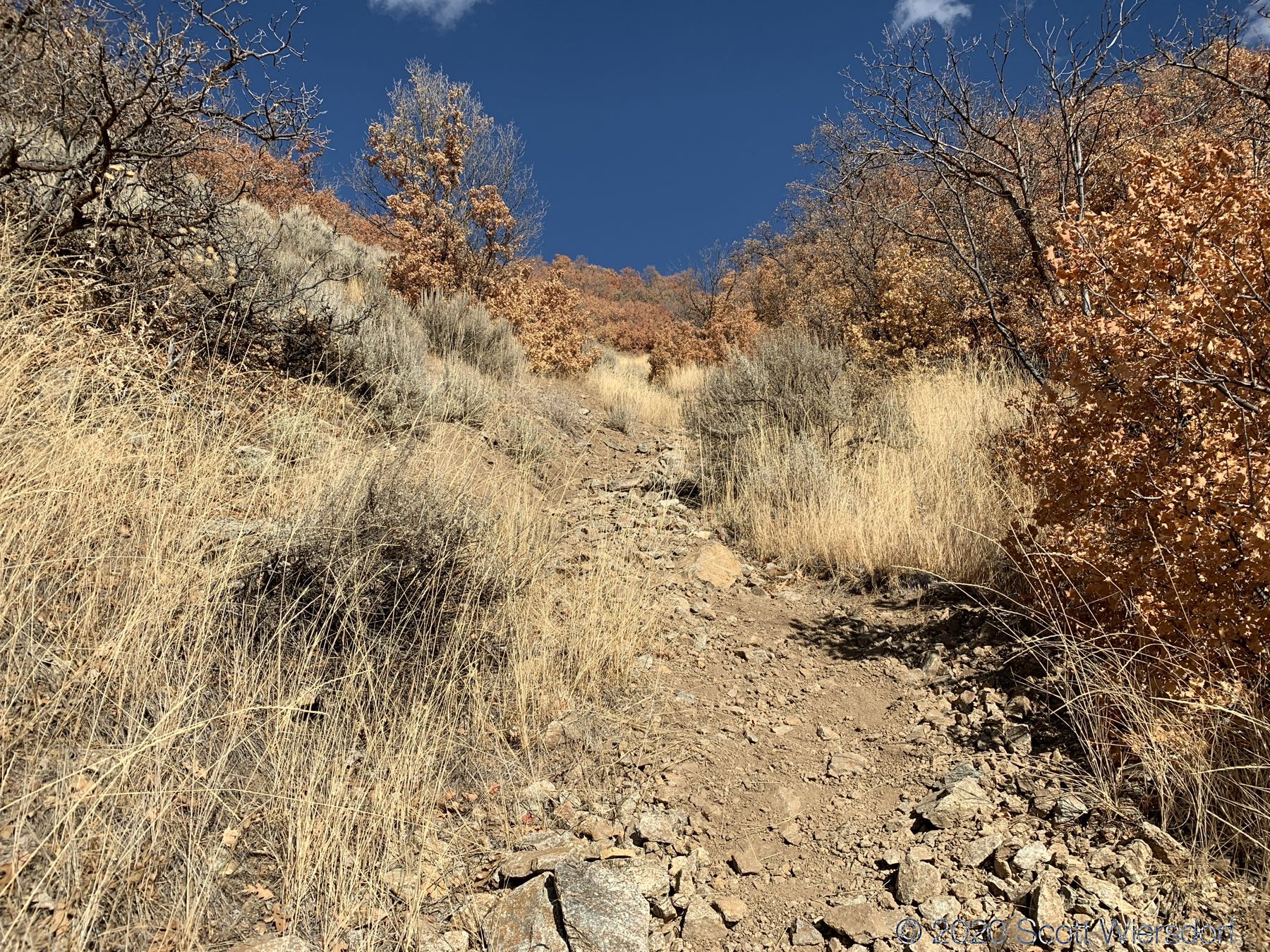
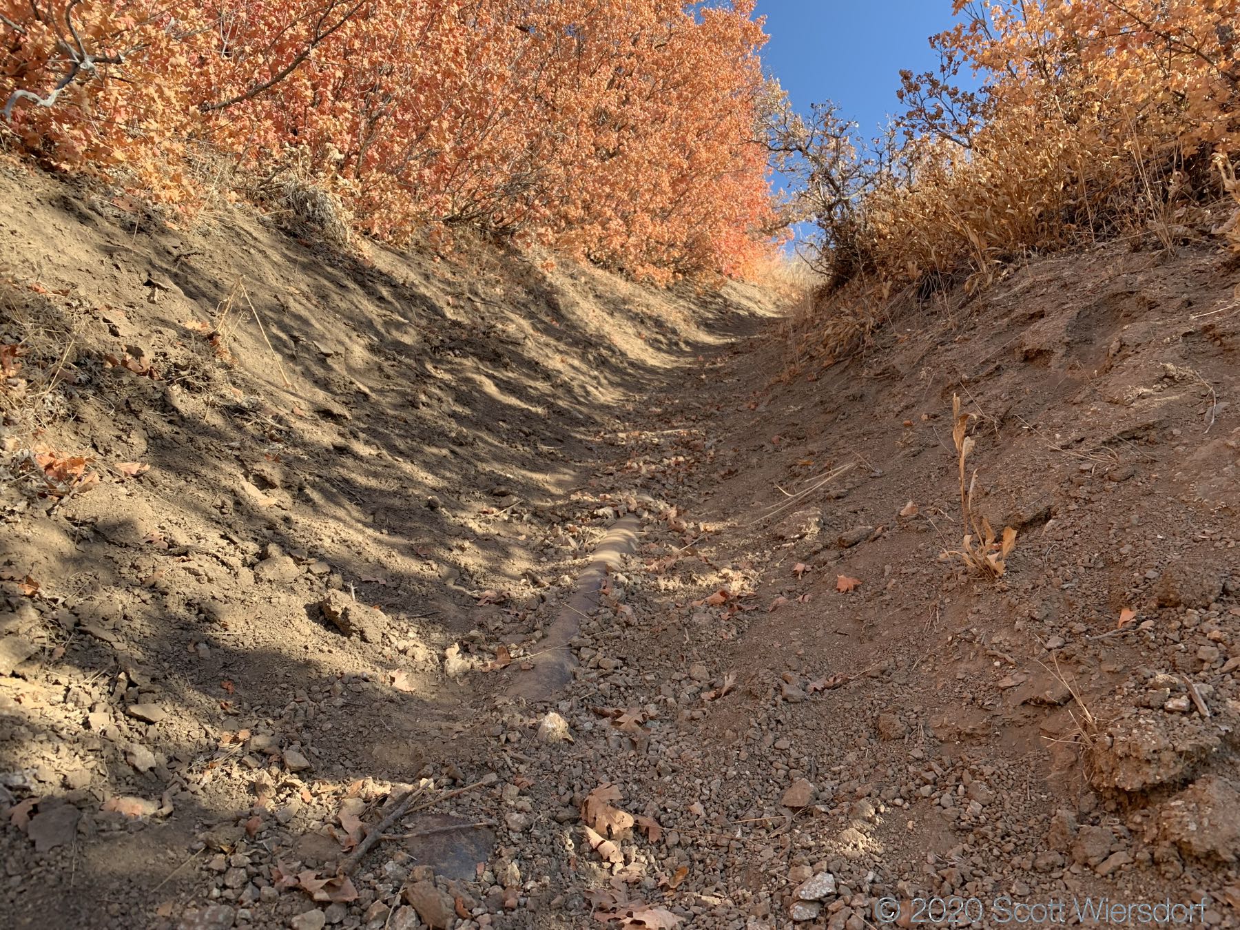
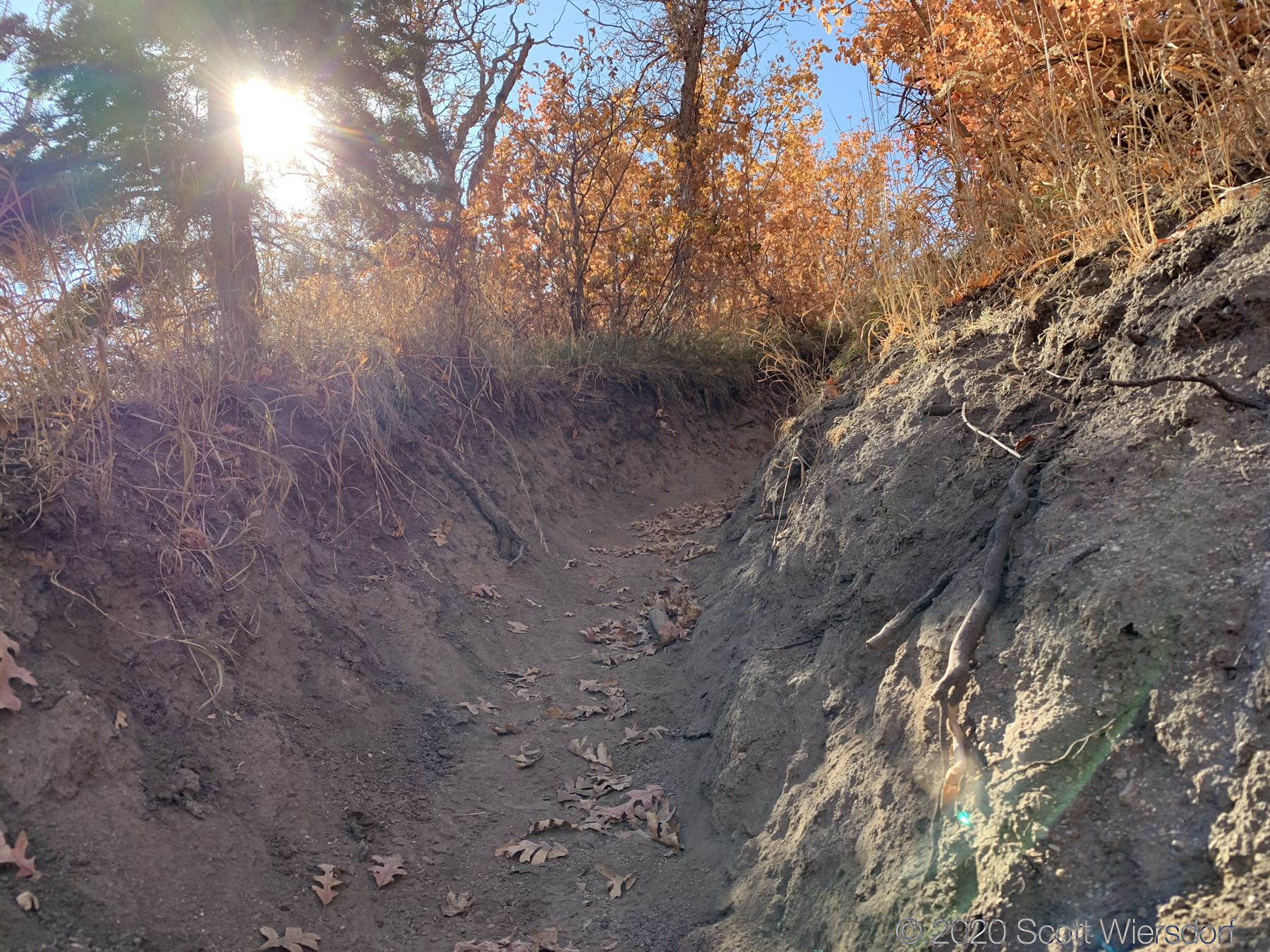
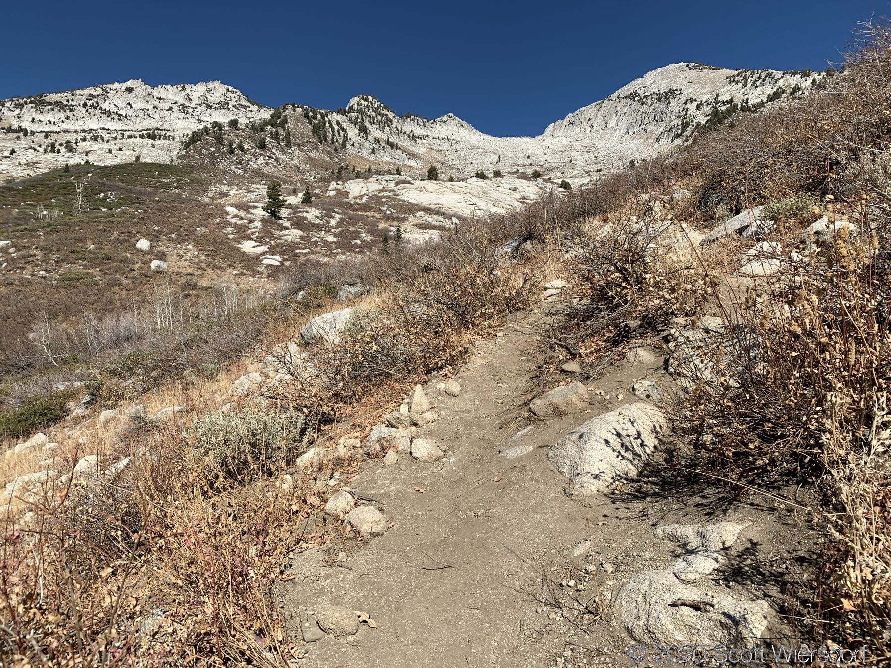
The trail is in good shape (thanks, Pleasant Grove Ranger District !), though sections have become deep trenches due to horse traffic:
The trail from the trailhead to First Hamongog is generally southwest facing with few opportunities for shade. The next mile of trail is a 20–30% grade. At about 7500 feet (maybe 2.25 miles in) you’ll start to get into some conifers along the trail.
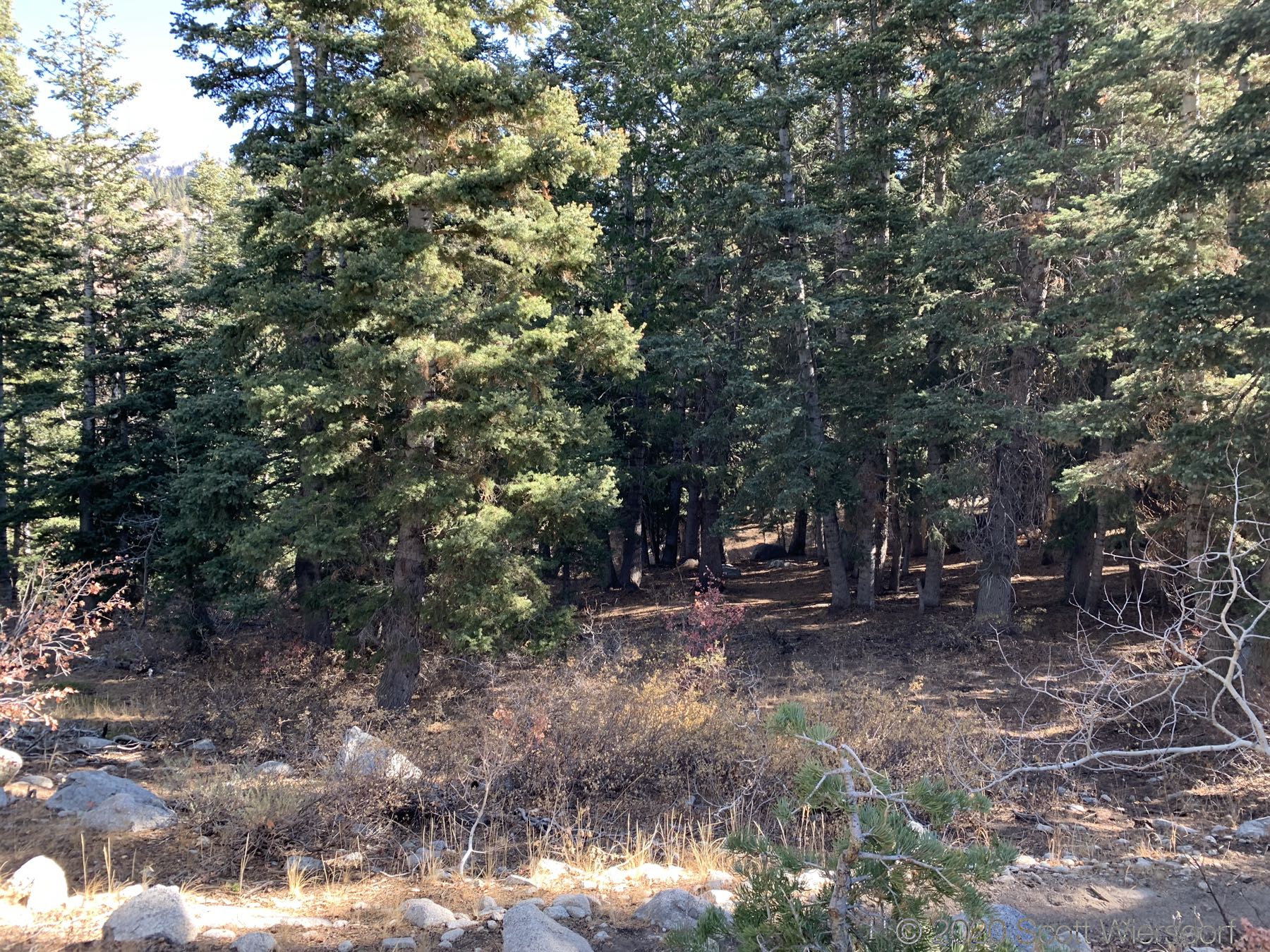
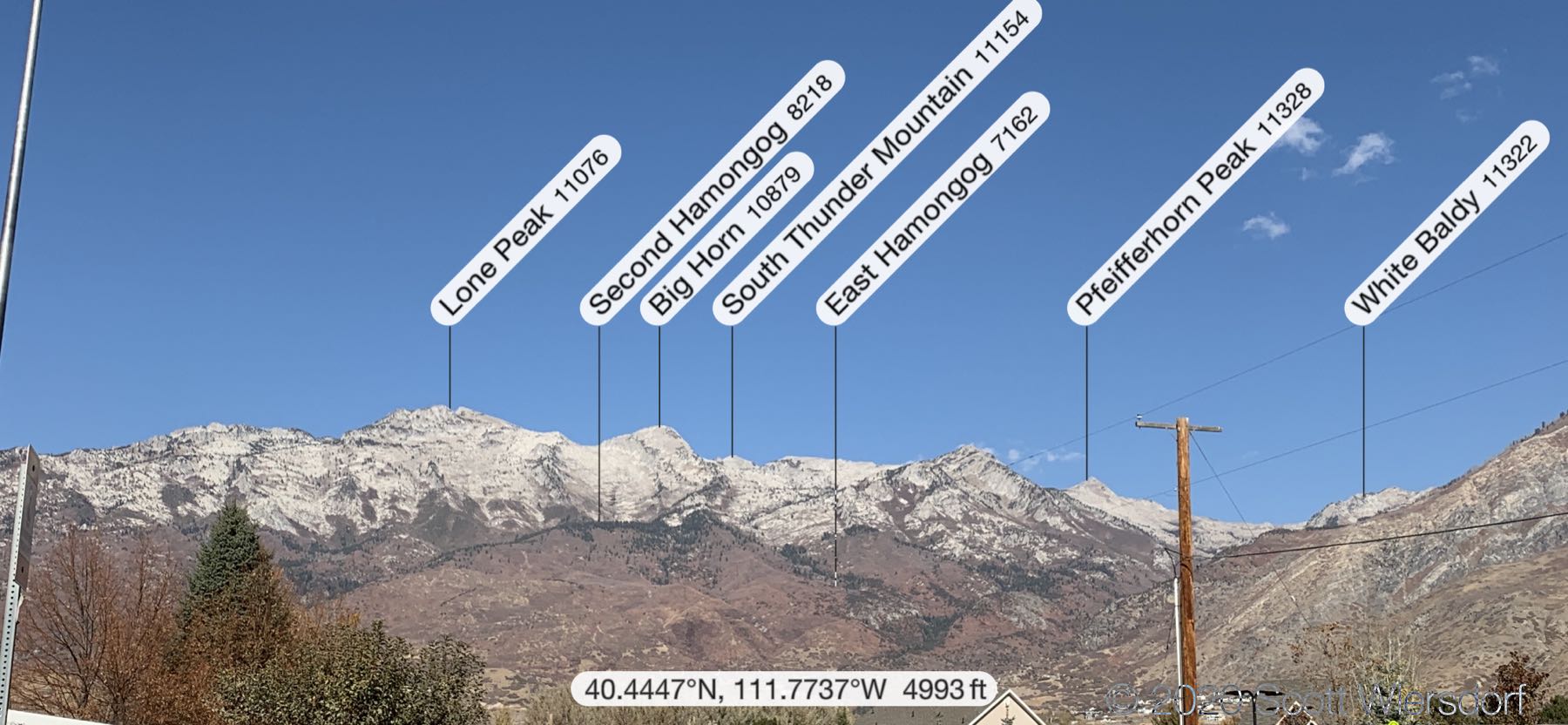
These conifers crest the ridgeline and are visible from my house in Pleasant Grove. Here is a closer view from Alpine City:
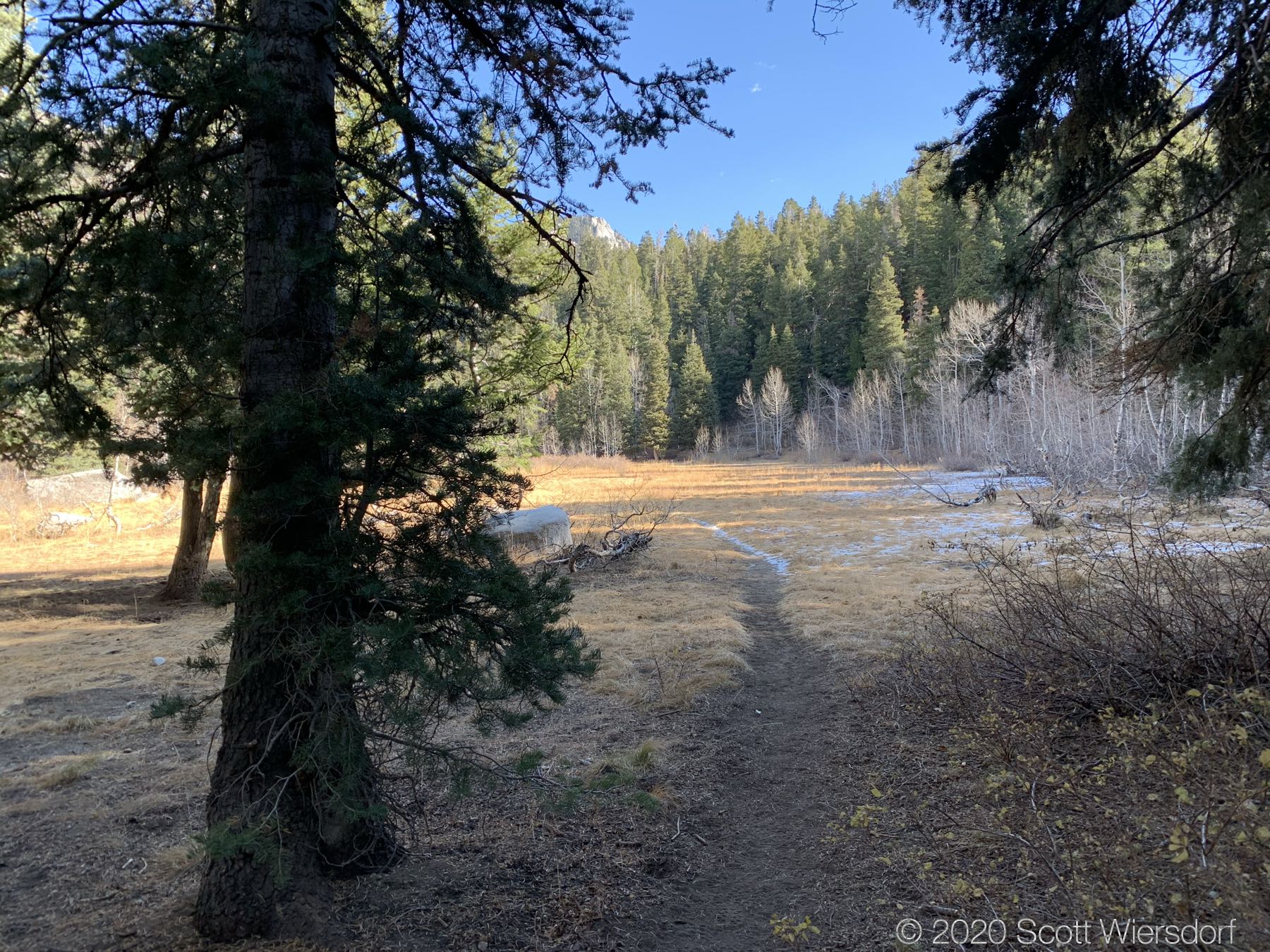
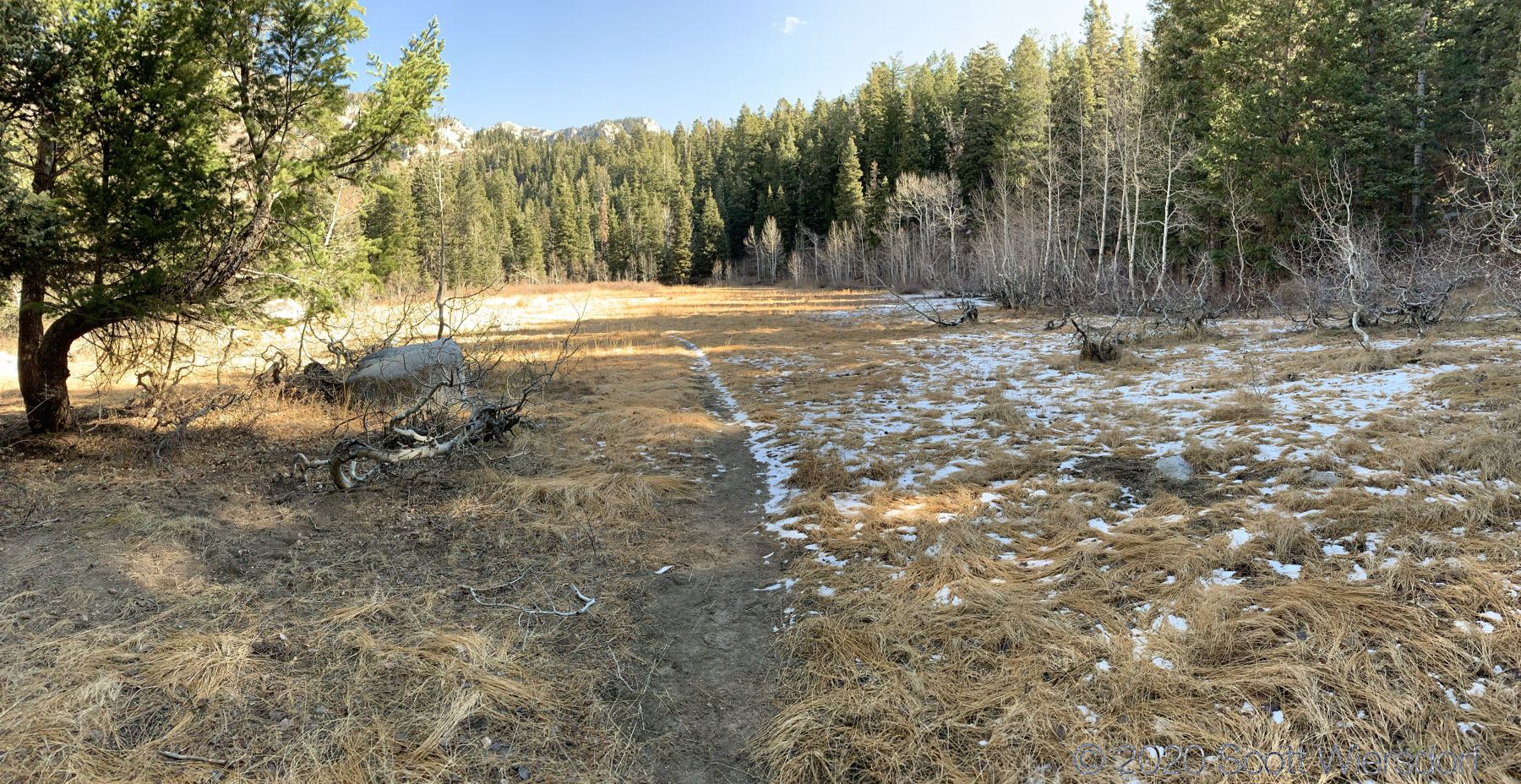
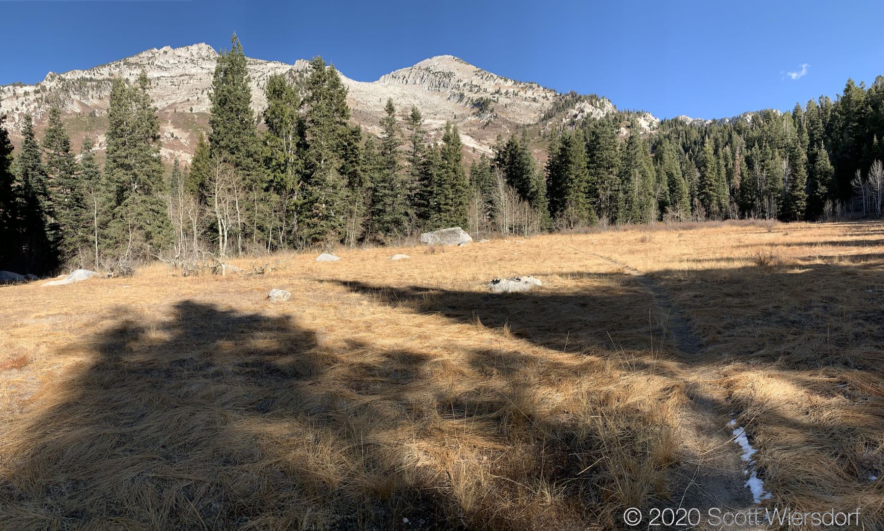
From here, Second Hamongog is close. The trail levels out and opens up into a beautiful meadow:
At the north east corner of the meadow is another trail sign:
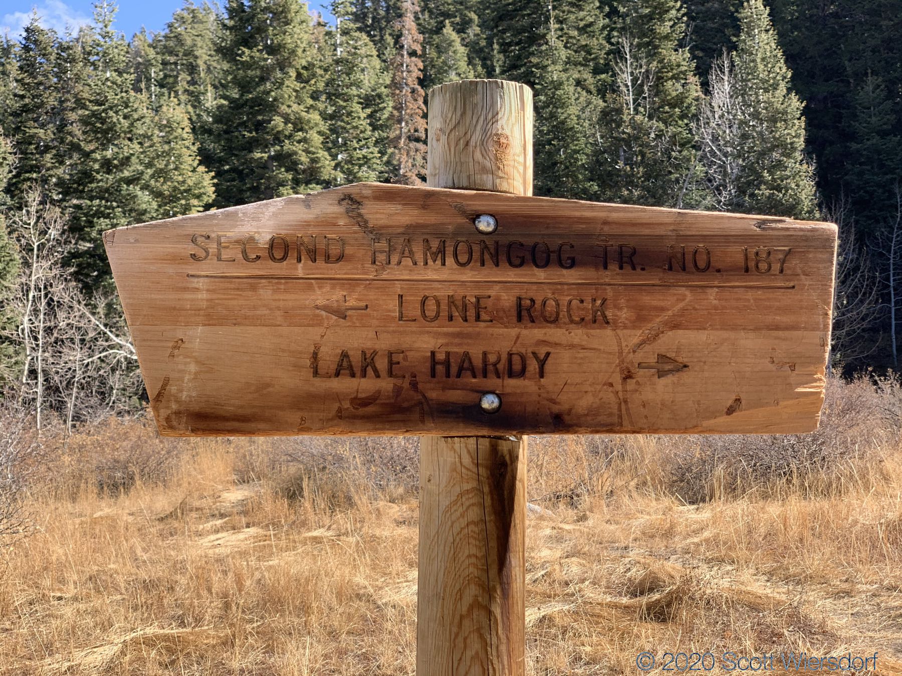
The trail to Lake Hardy doesn’t show up on any of my maps, so I followed it for about .35 miles to see whether it’s a direct route to Lake Hardy or joins the main Lake Hardy trail that forked off near the First Hamongog. I think it goes straight to the lake, which would have added another 2.5 miles or so to my route (and some rather steep grades).
As this was an exploratory hike (I plan to hike South Thunder Mountain and Big Horn next year), I figured I could call it good and turned back to Second Hamongog.
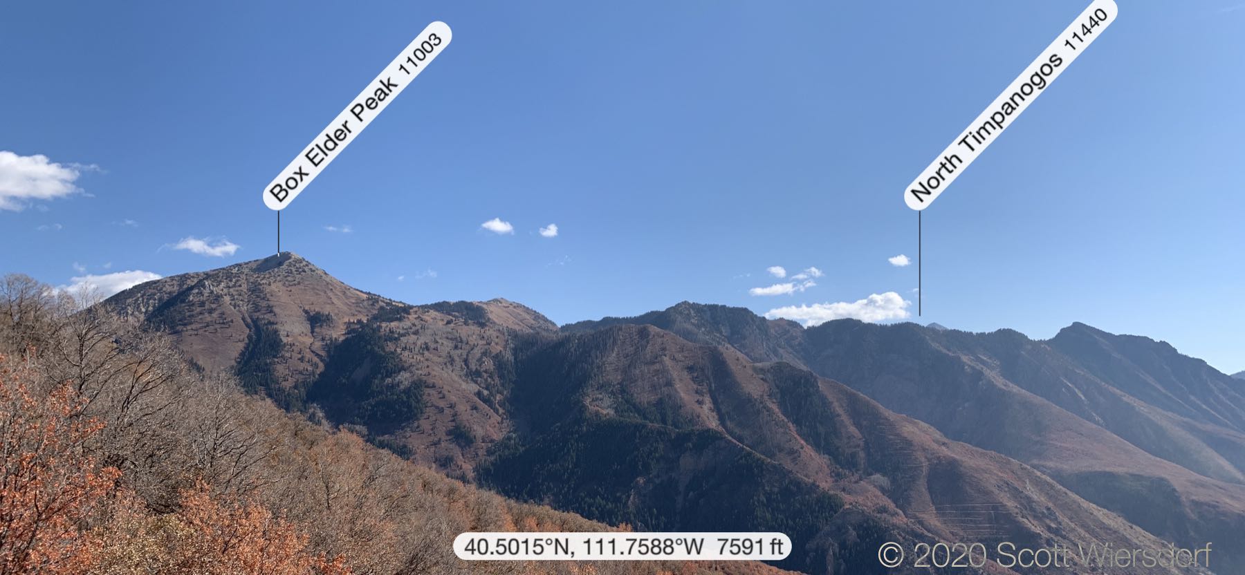
I made quick work of the trail coming back but stopped to take some photos of the soil conservation lines (lower left below the North Timpanogos label) below Box Elder Peak:
The hike up took 1 hour 48 minutes with a gain of 2,630 feet (about 800 meters). The return took 1 hour and 6 minutes.
My GPX track (view on Footpath ).
Last modified on 2020-11-04