Hiking Broads Fork, Robinson Variation (2025)
Hiking to an unnamed point at the top of the Robinson Variation route up Broads Fork

Overview

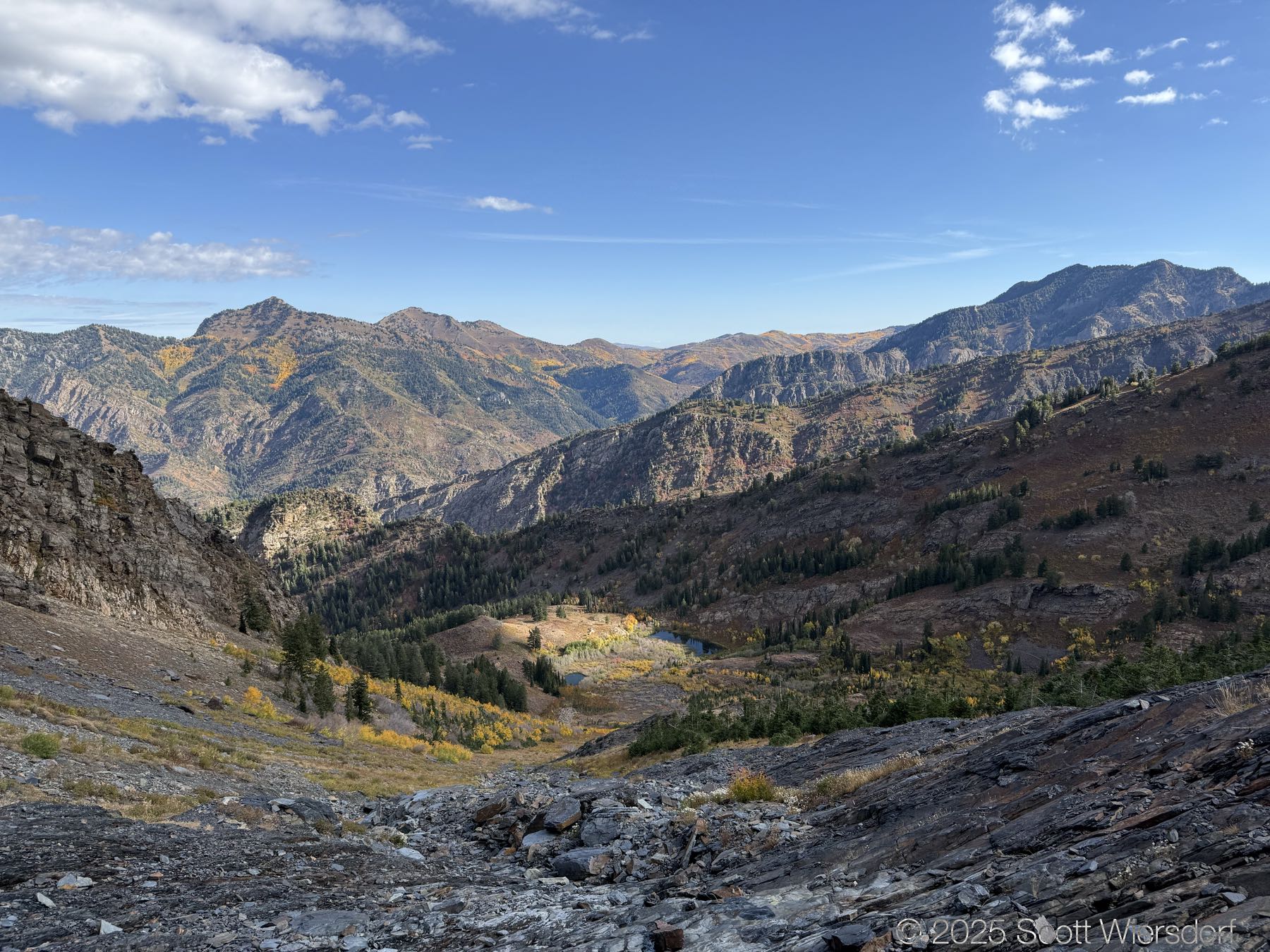
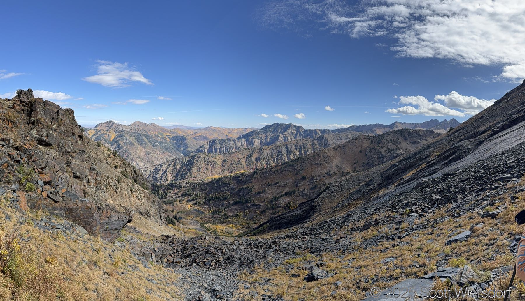
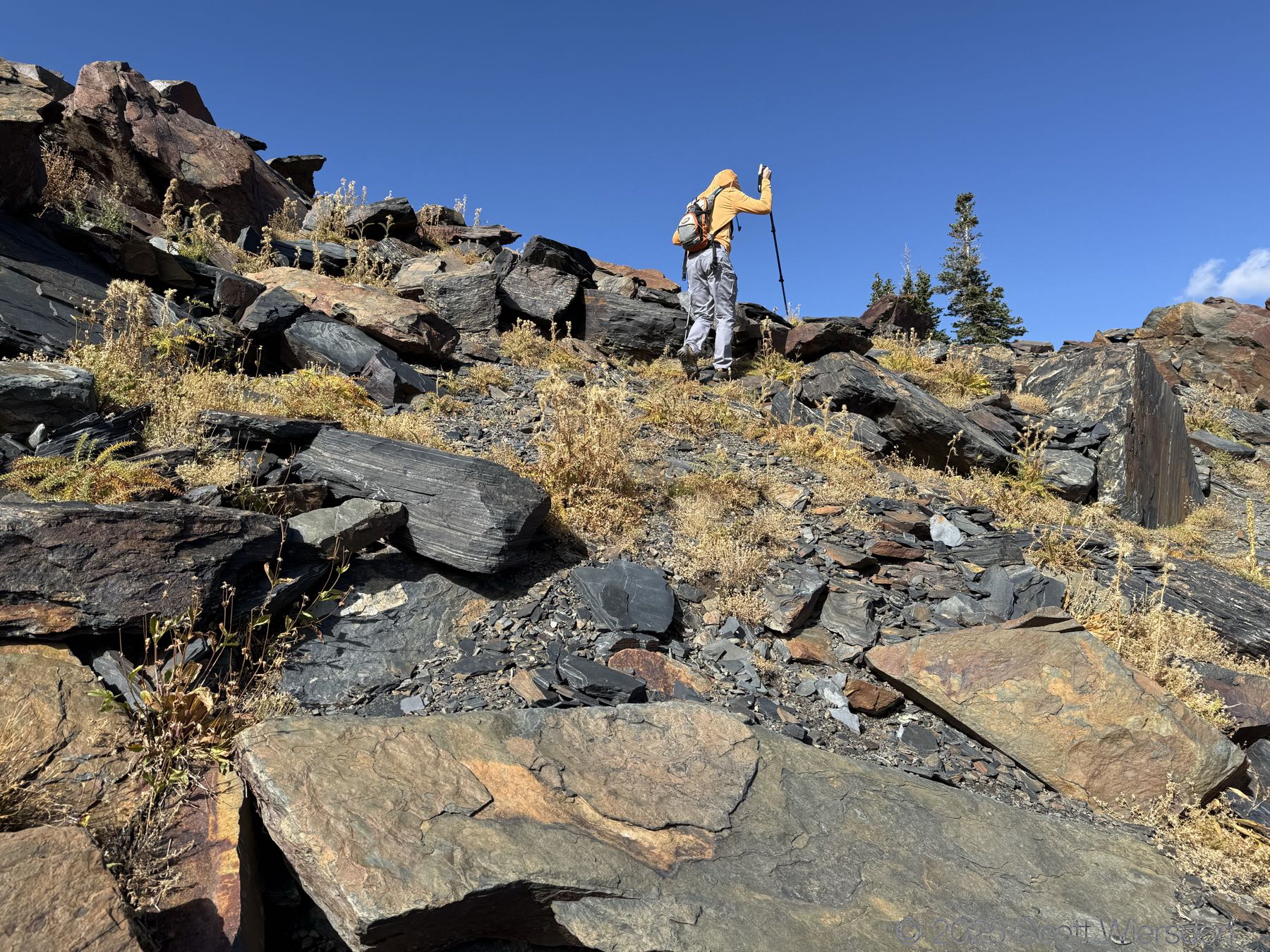
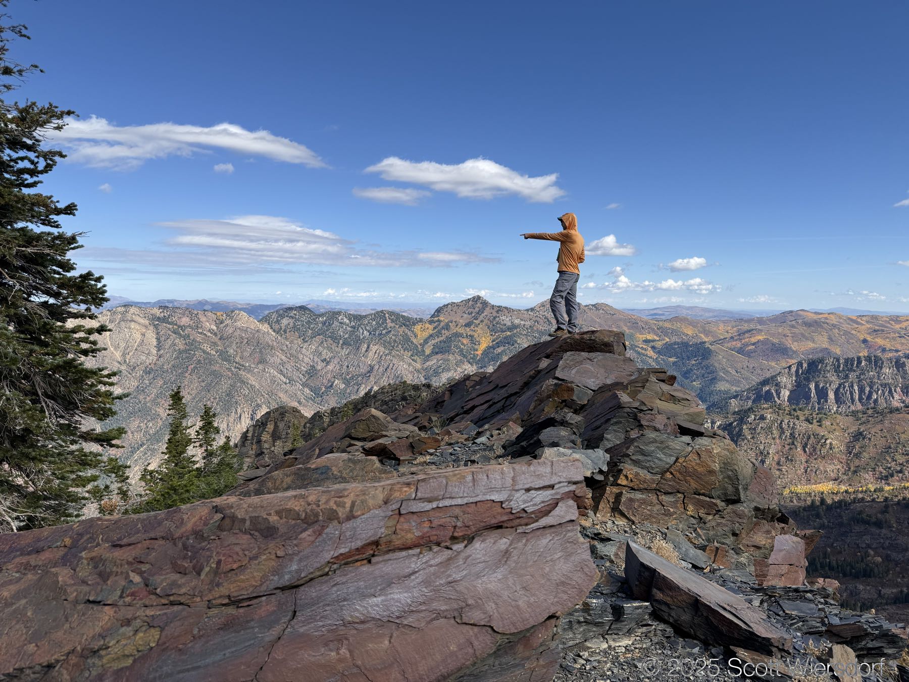
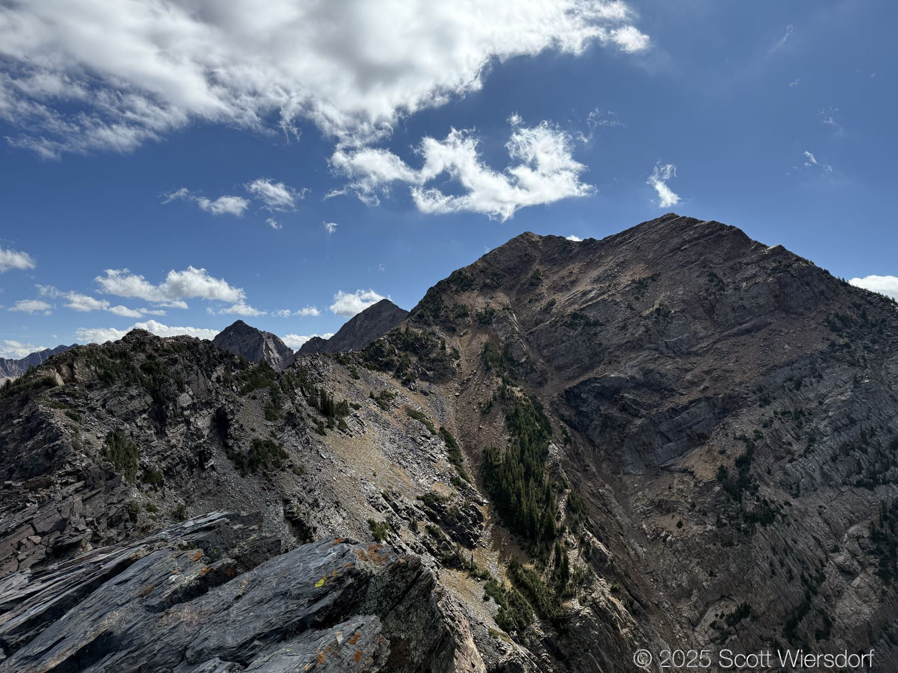
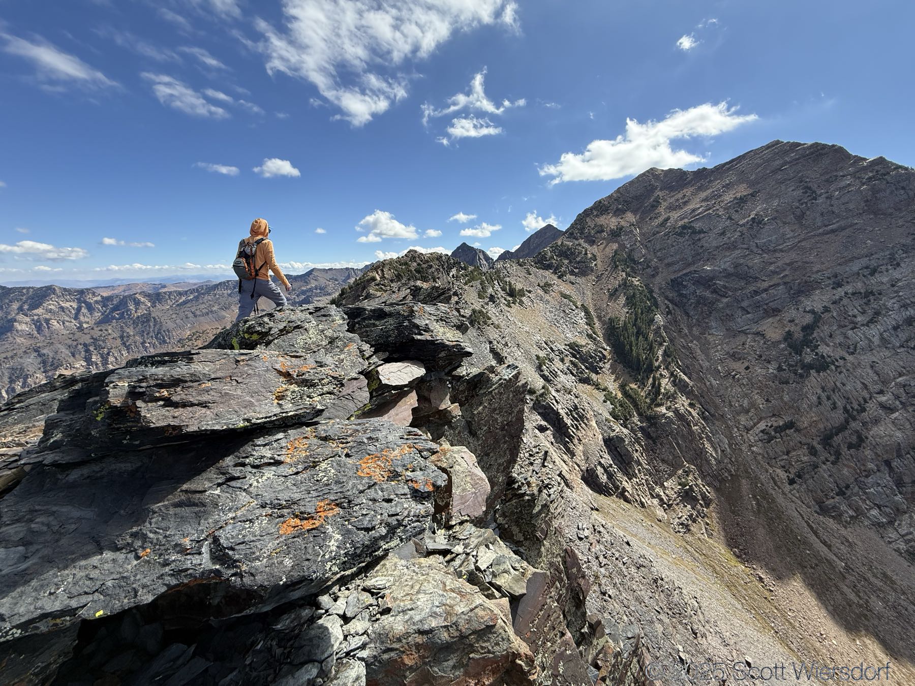
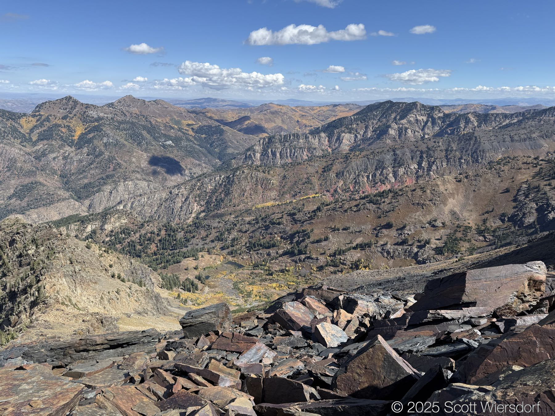
This is the long awaited summitting of the unnamed knob where Ferguson Canyon, North Fork Deaf Smith Canyon, and Broads Fork meet. We made a feeble attempt last year and another attempt from Ferguson Canyon this spring.

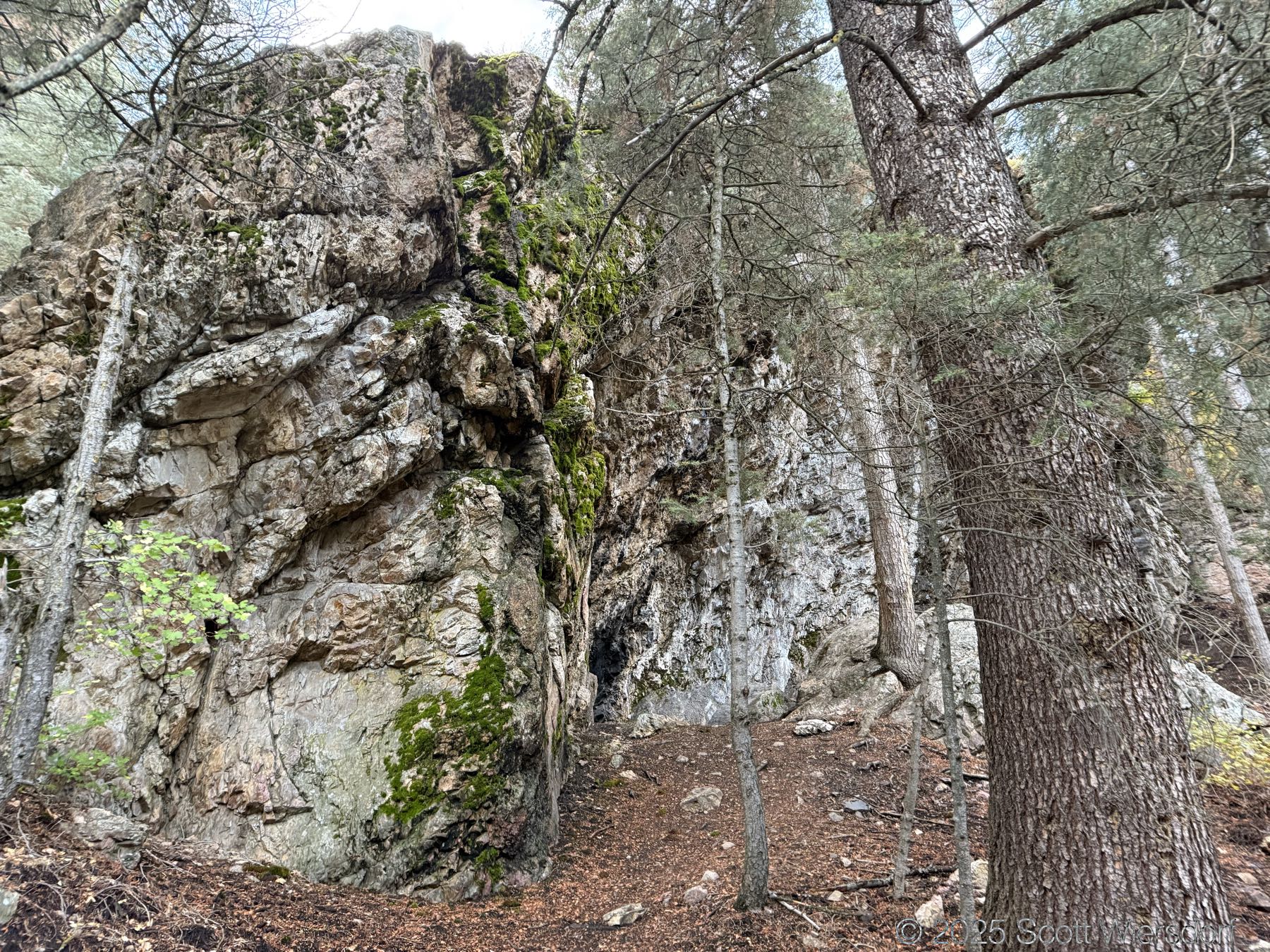
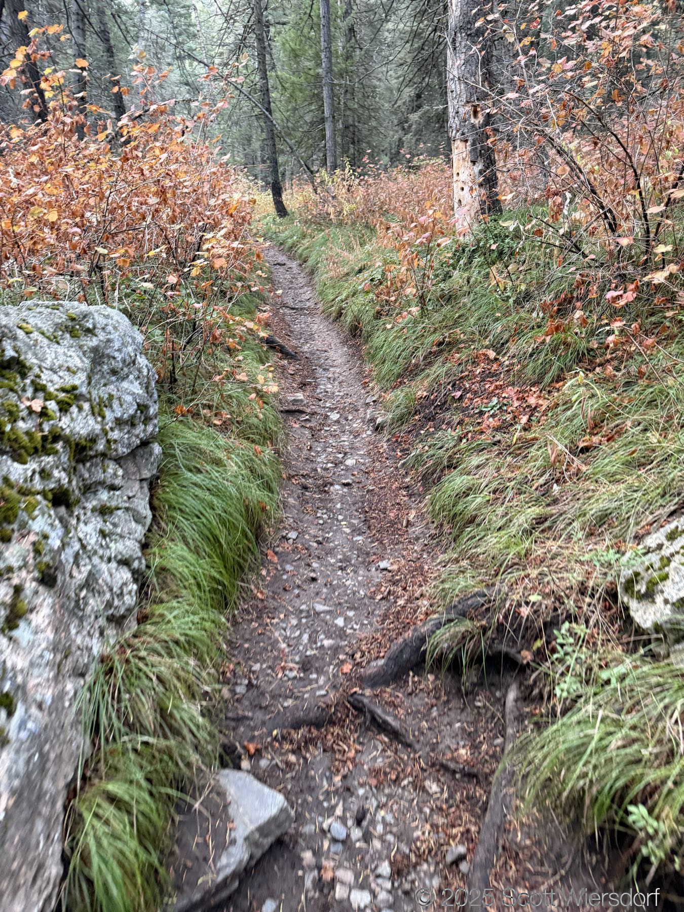
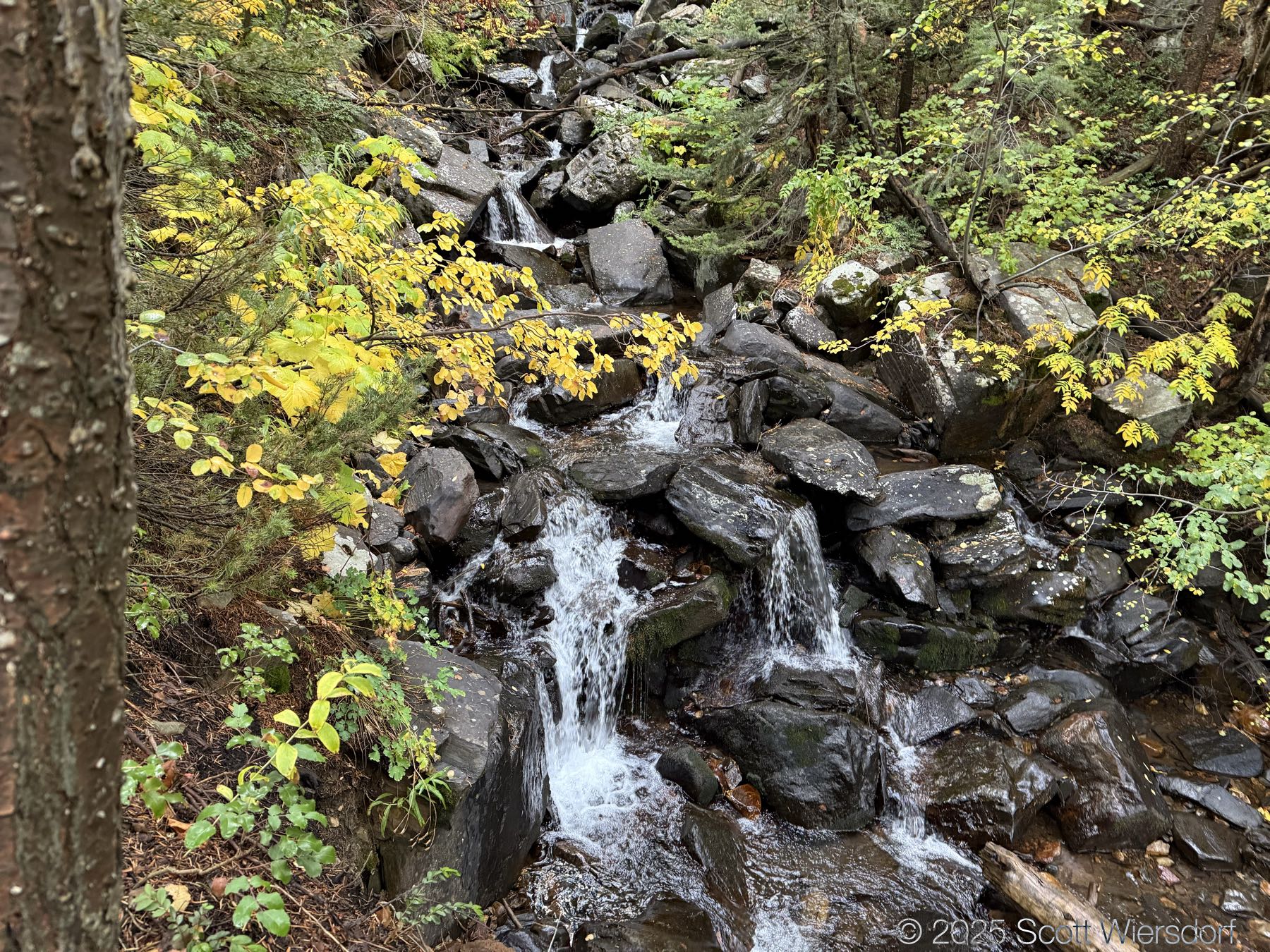
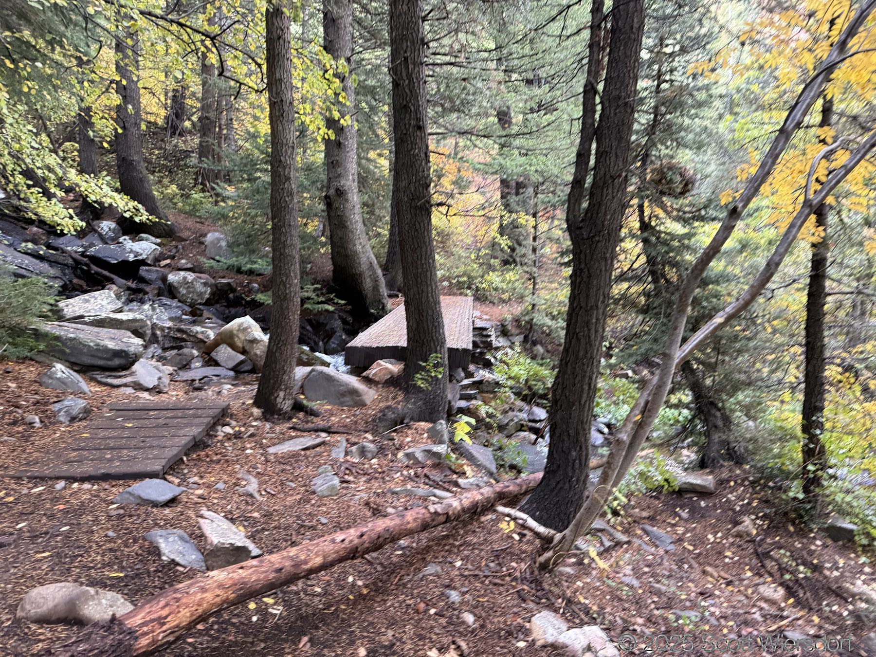
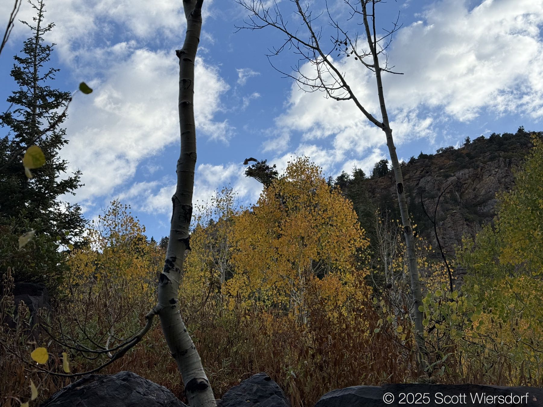
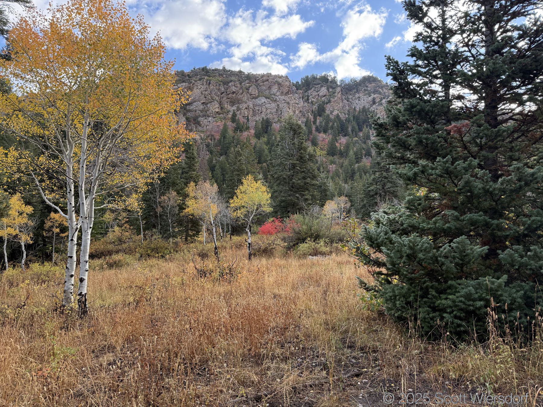
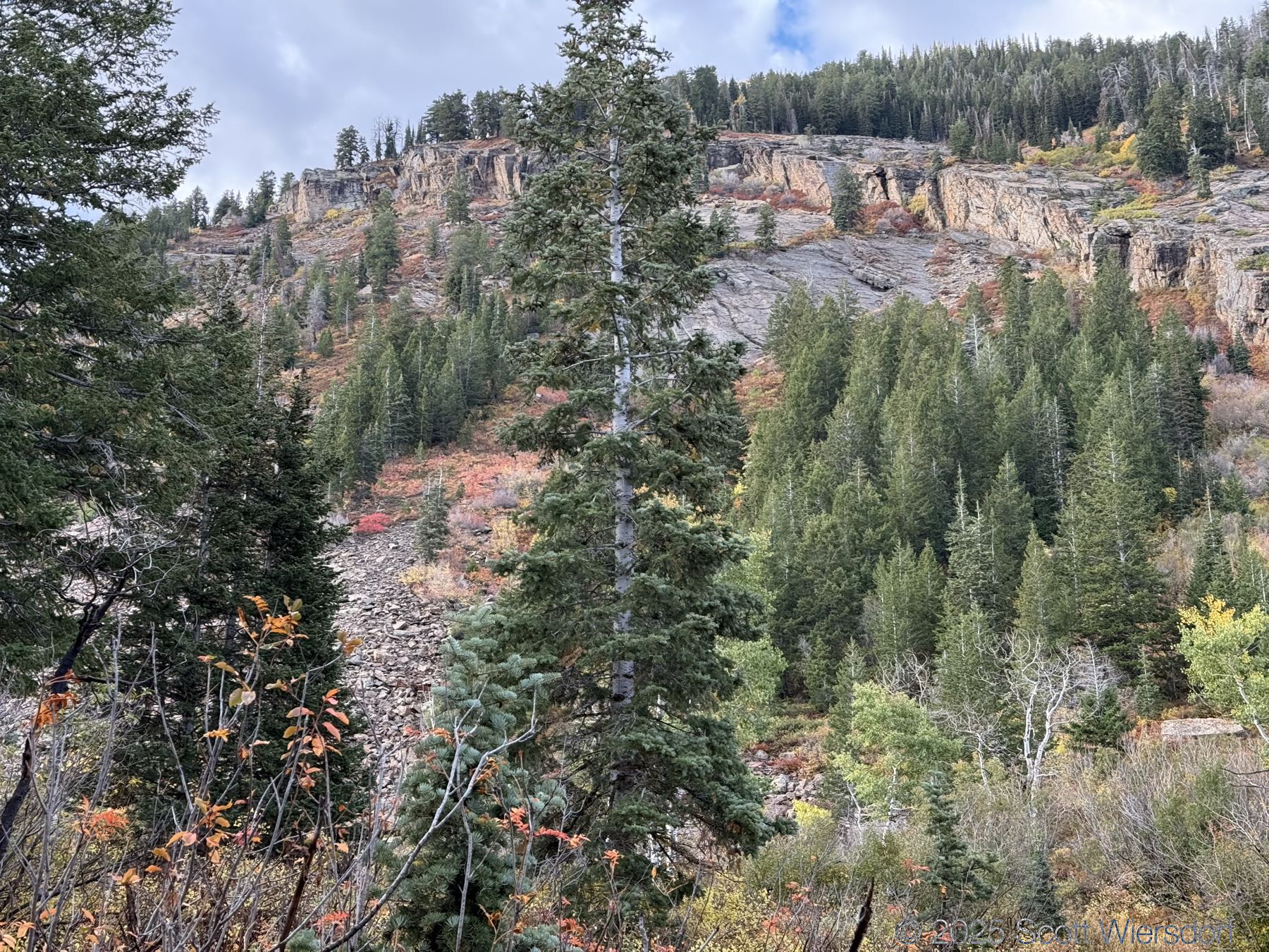
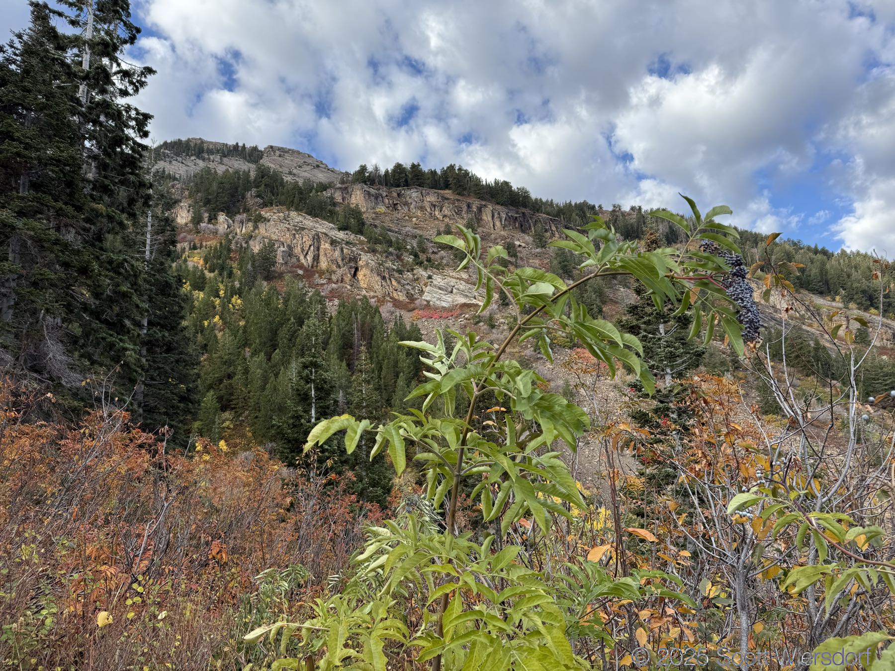
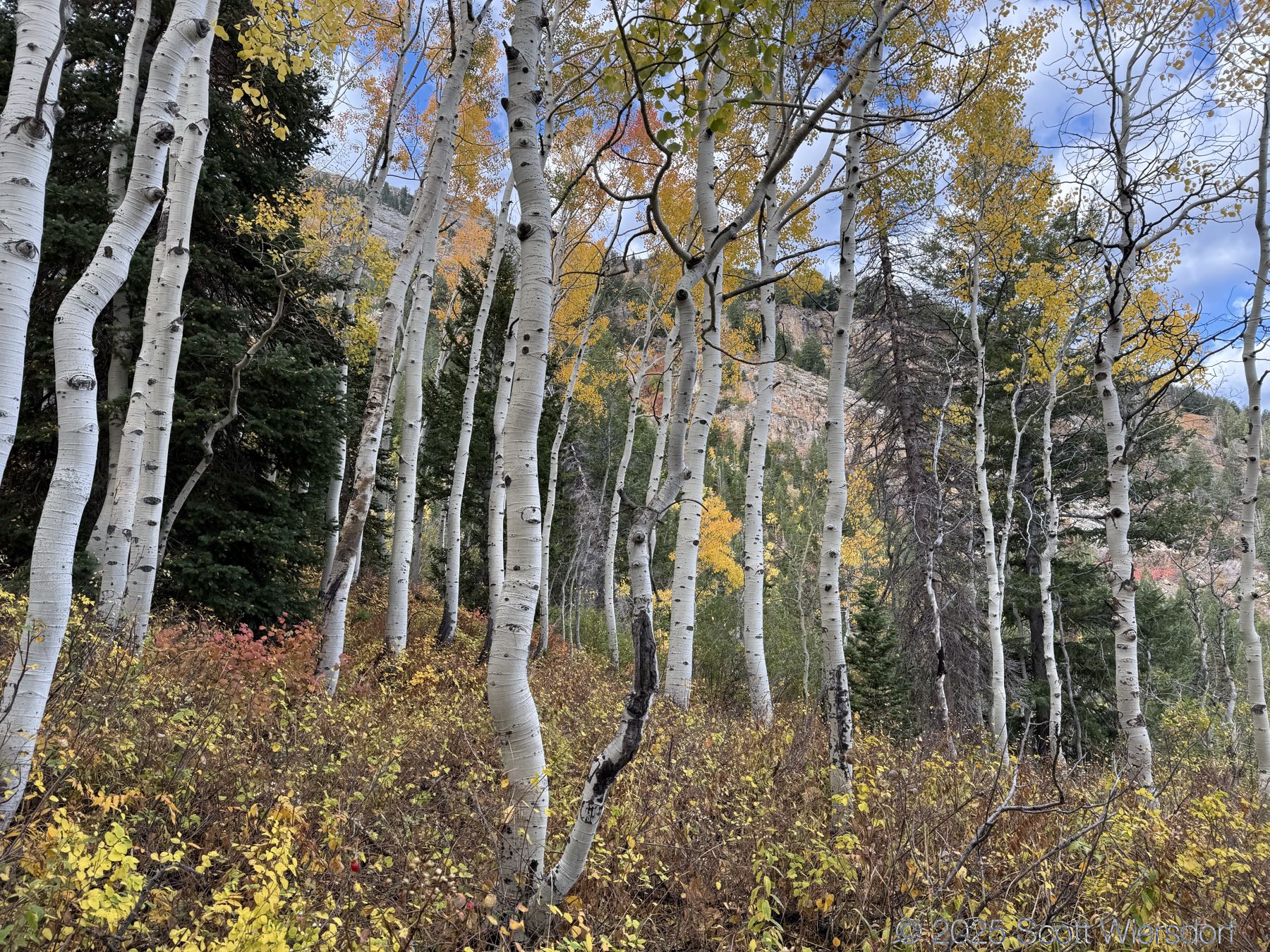
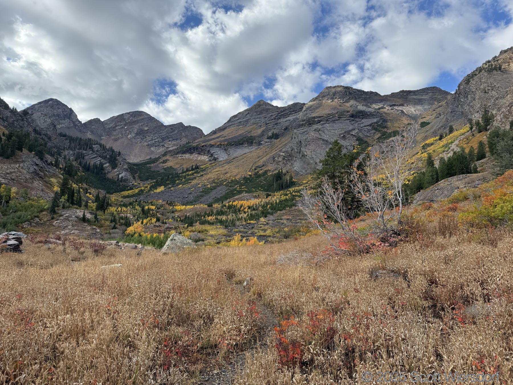
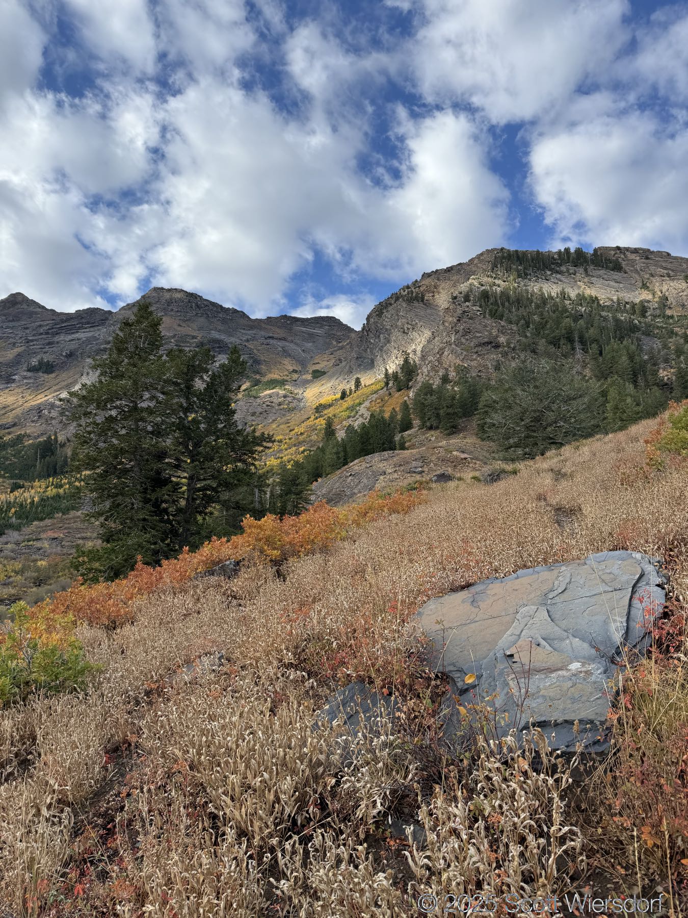
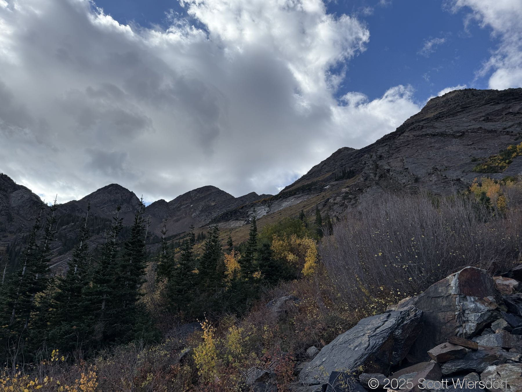
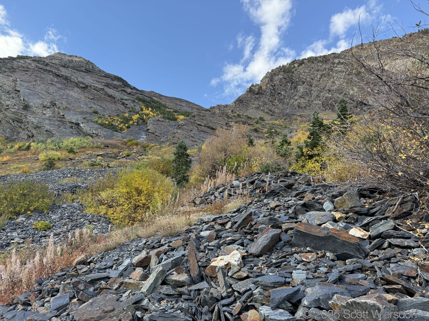
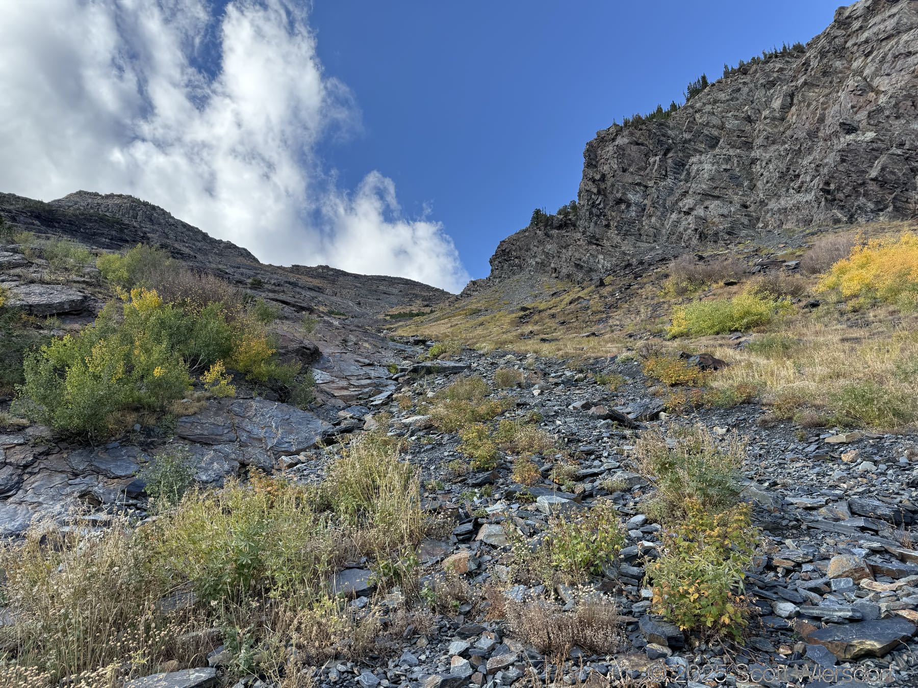
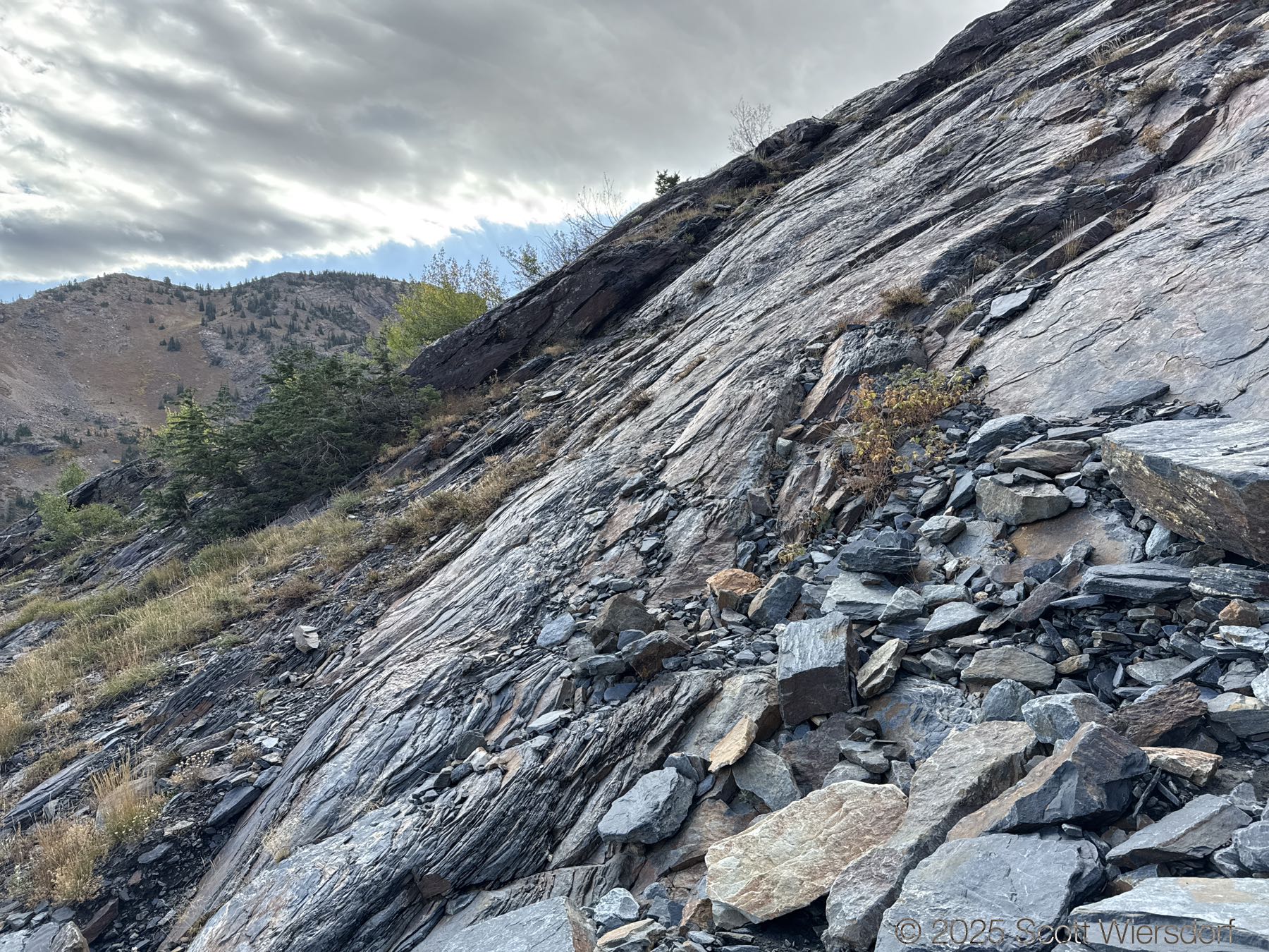
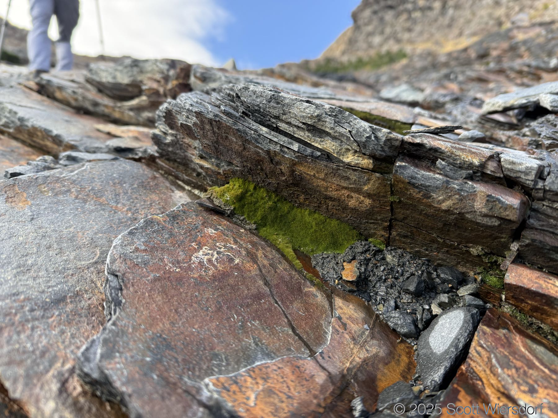
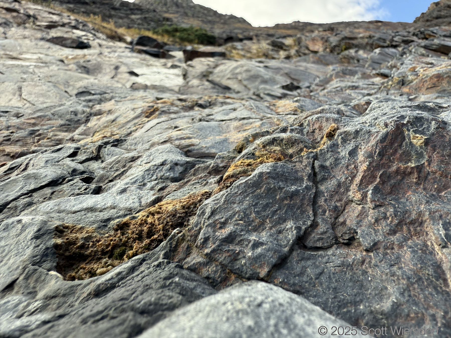
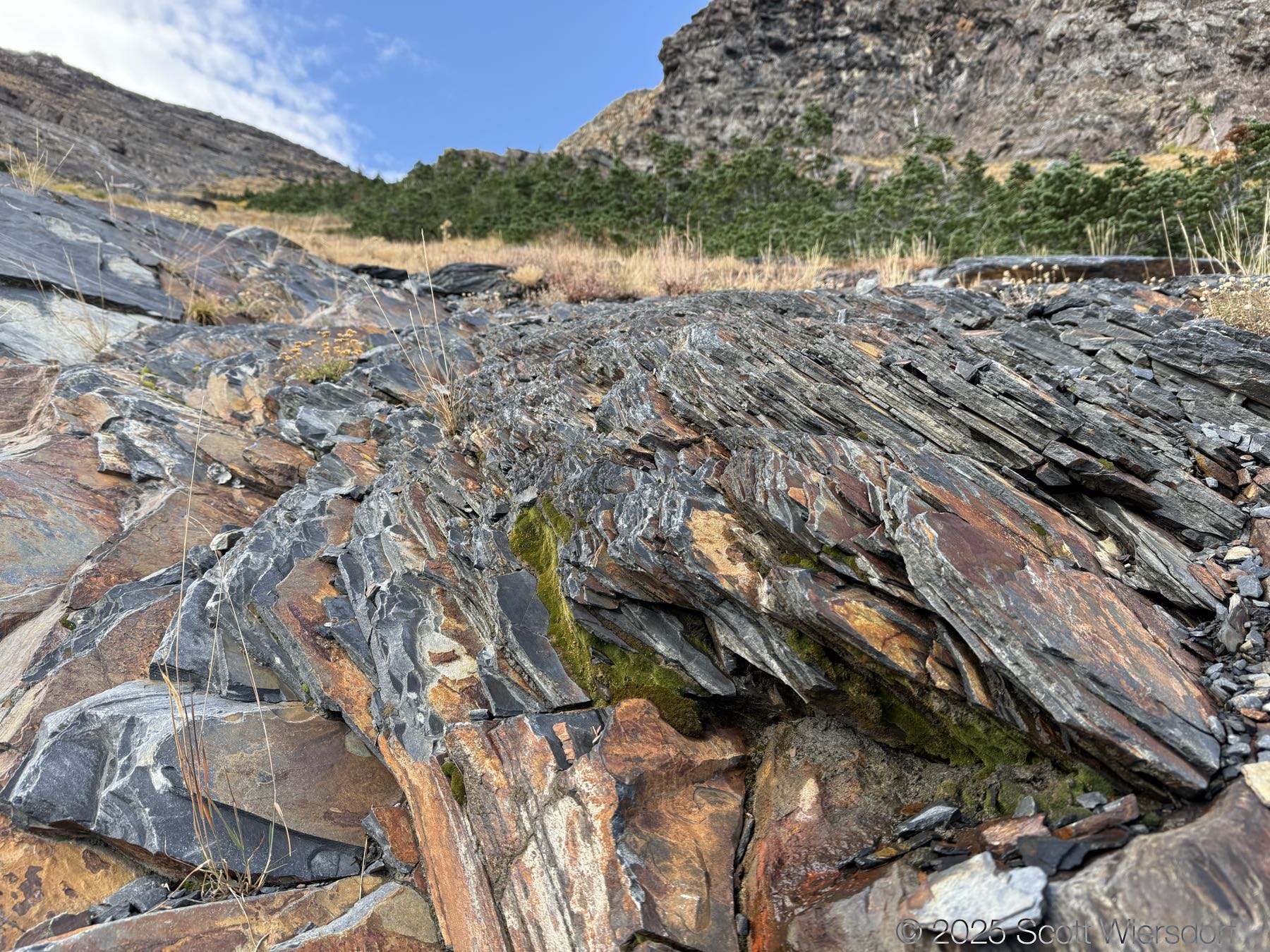
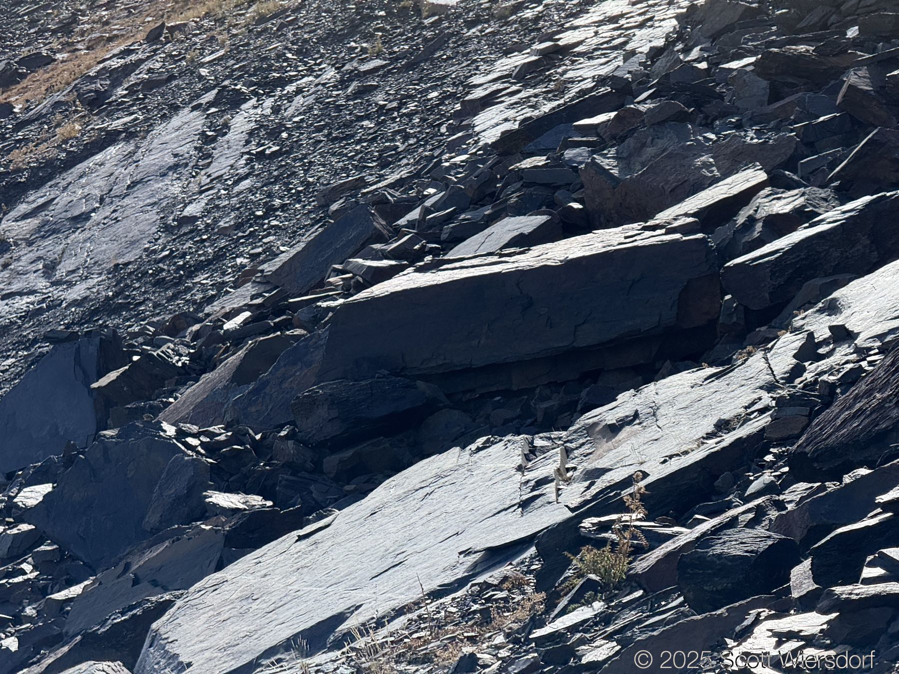
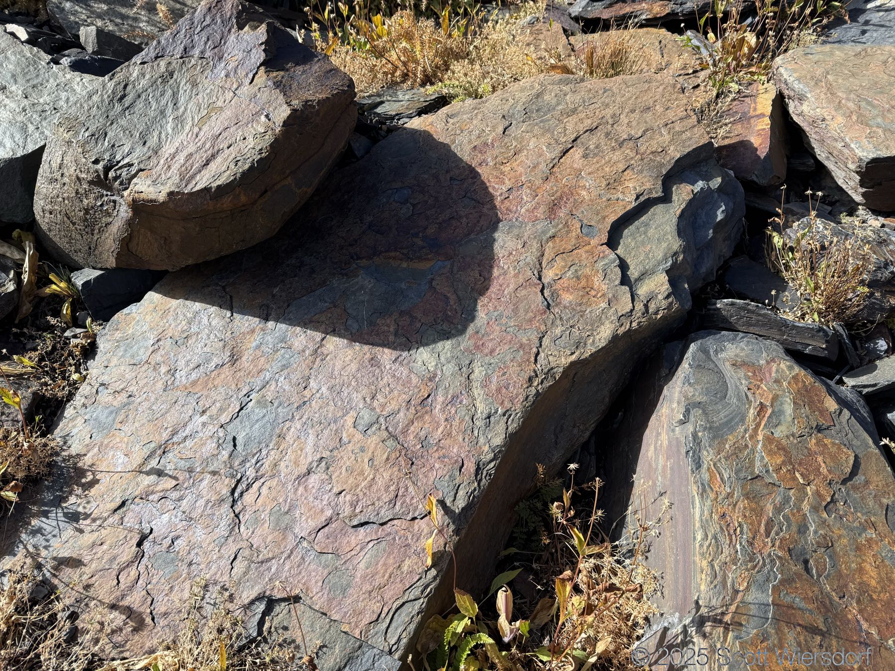
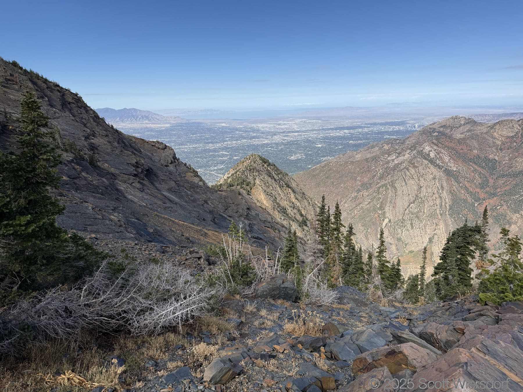
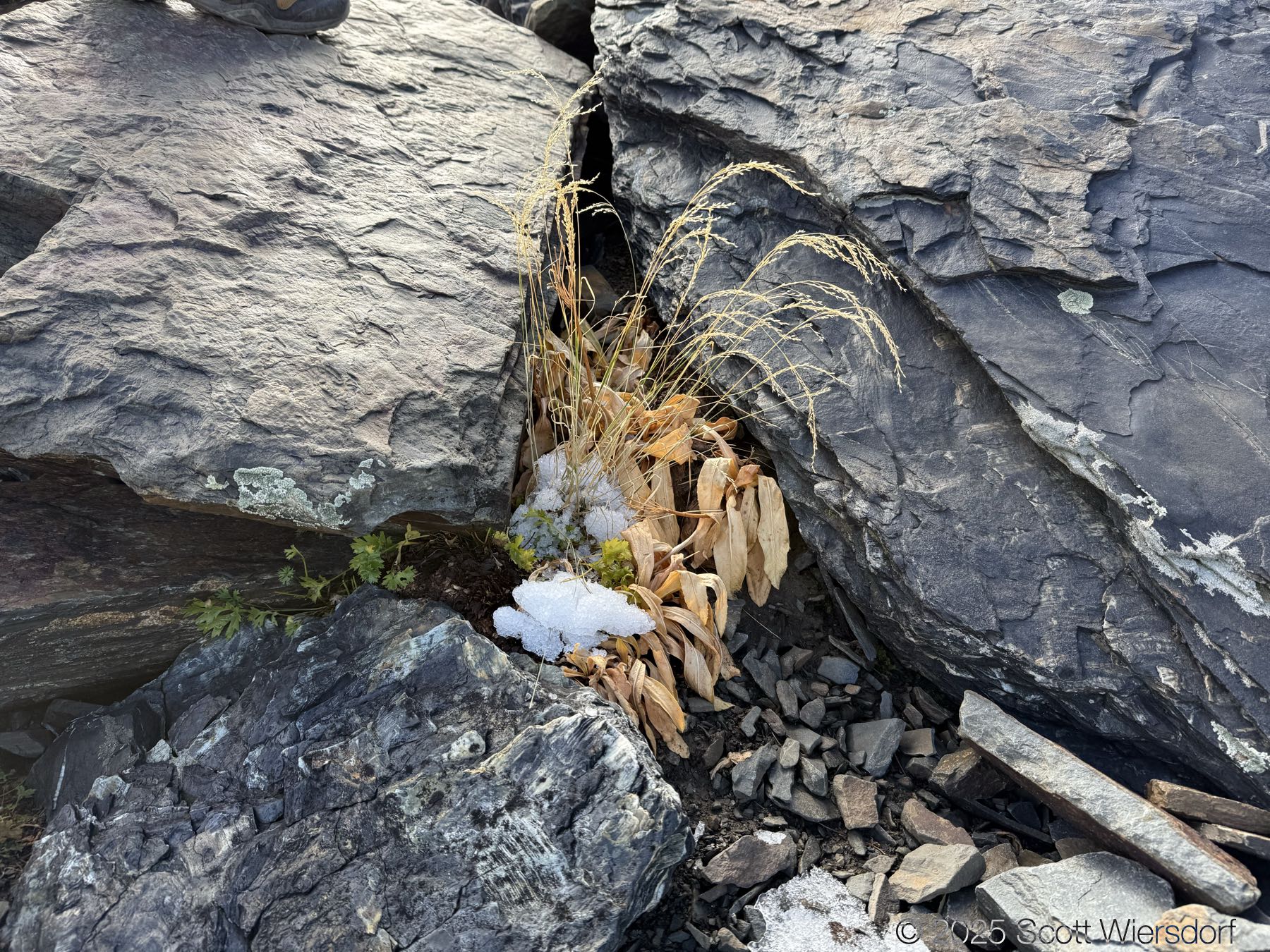
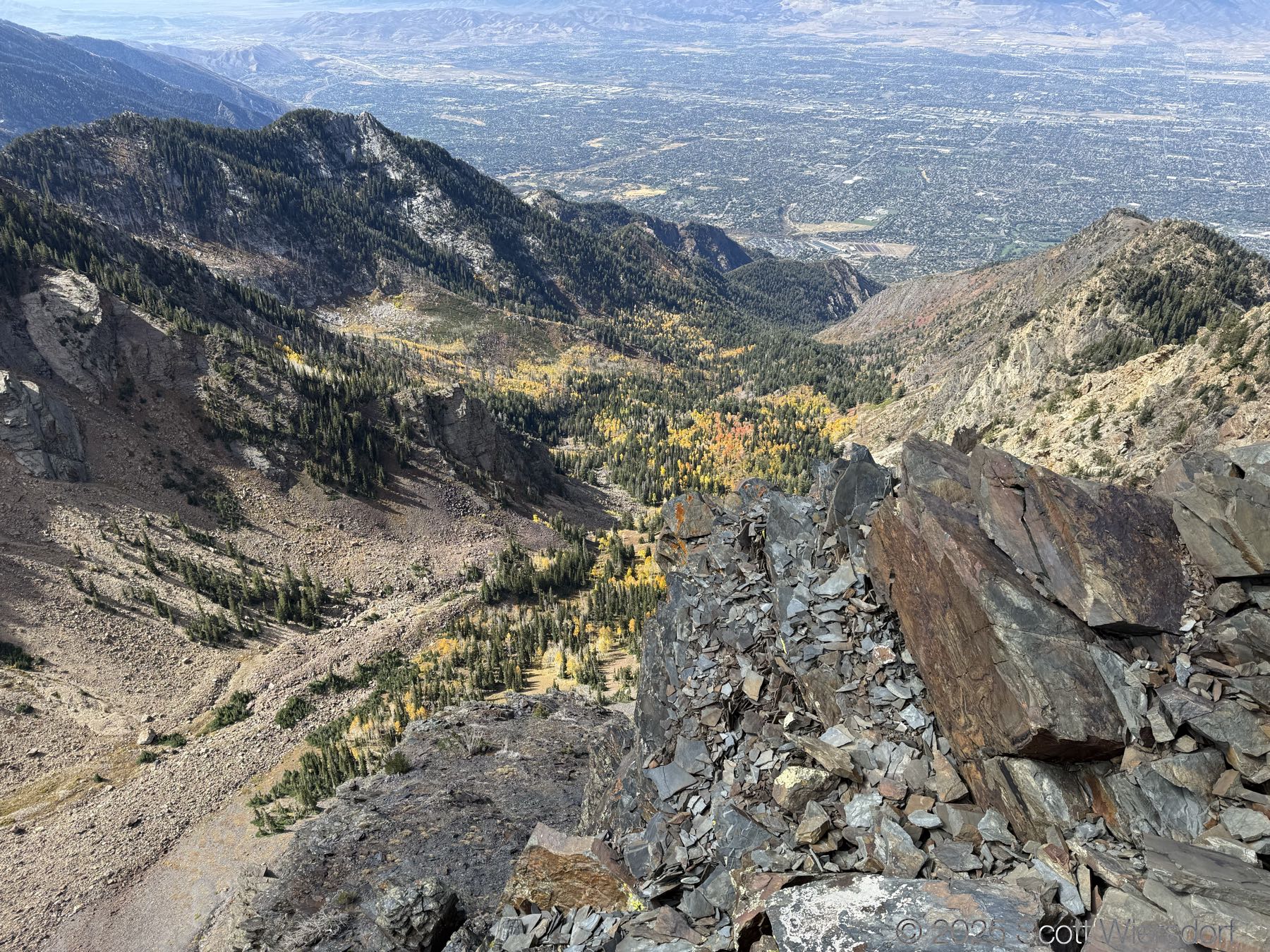
The trailhead is at the base of the “S” curve in Big Cottonwood Canyon. There are two trailheads that the parking lot services: Mill B South and Broads Fork. Broads Fork is at the west end. We had cool weather, probably in the mid-to-high 40’s (°F), with an occasional light breeze. Cloud cover kept us cool most of the way up. If we stopped for more than a few minutes, the breeze chilled us off pretty good. No complaints about the weather—it was a perfect day for us. We noticed a few patches of snow trapped in some of the high elevation (and sheltered) plants from yesterday’s storm that passed through.

This trail services Twin Peaks and is a good alternative to the Broads Fork in-and-out, allowing you to descend down the Broads Fork trail. Some hikers take this route on their triple traverse (Salt Lake Twins, O’Sullivan/Sunrise, and Dromedary) and then go down Mill B South past Lake Blanche.

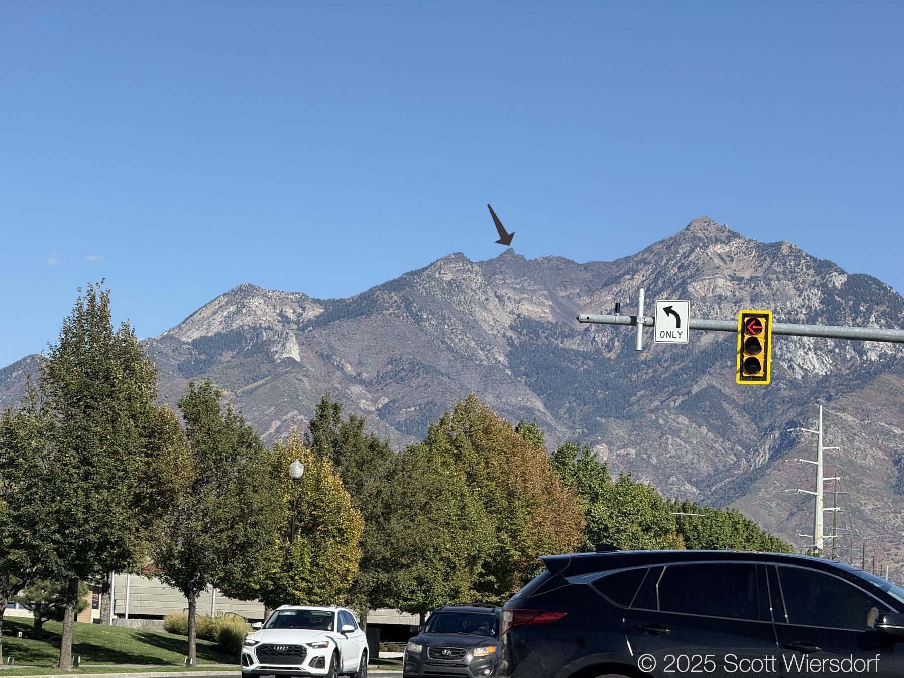
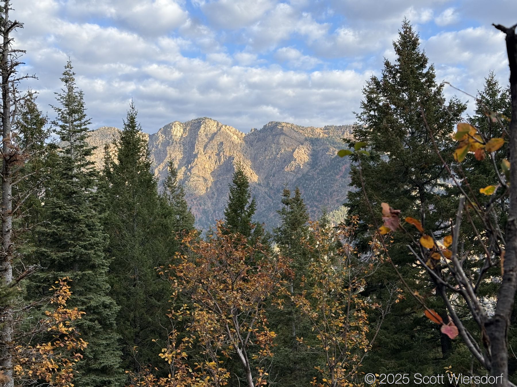
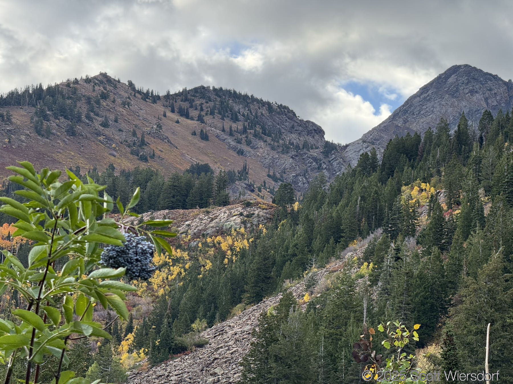
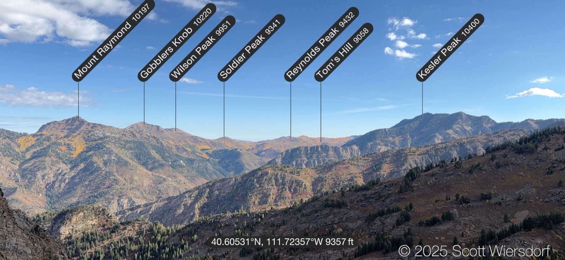
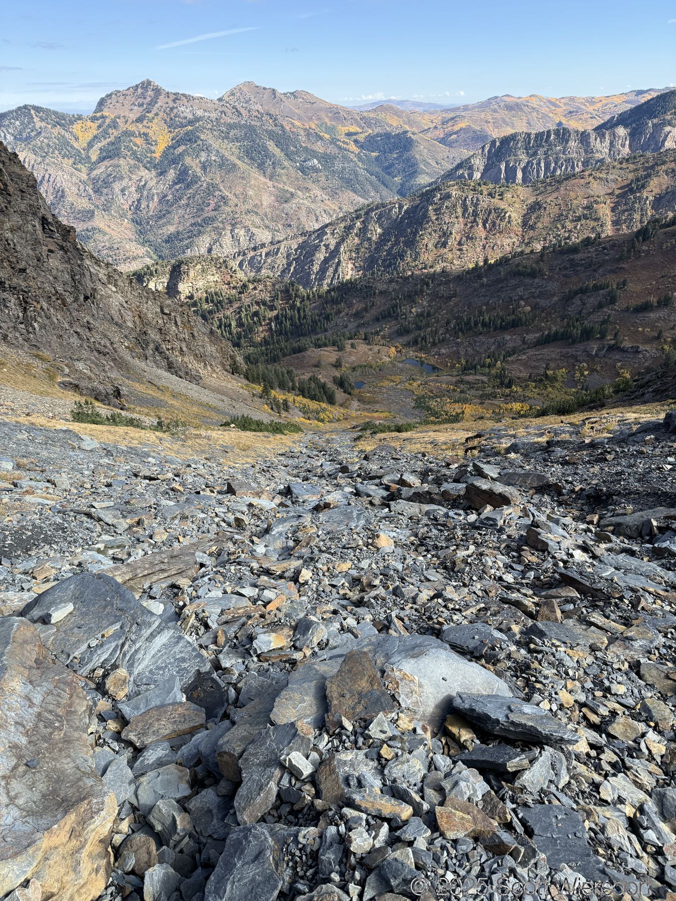
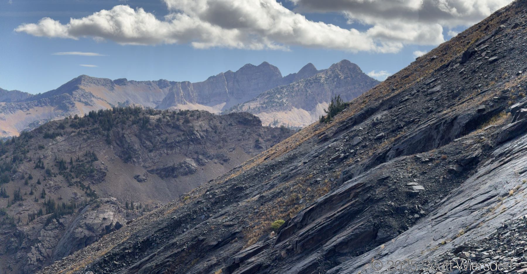
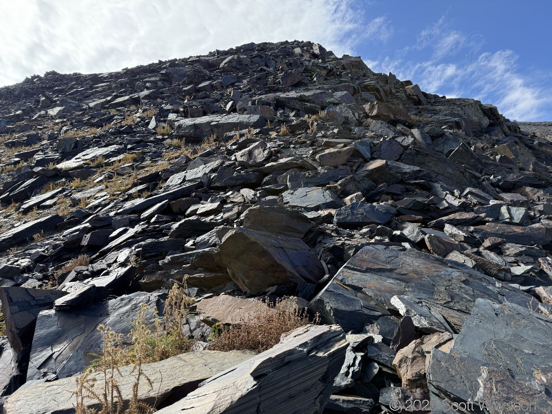
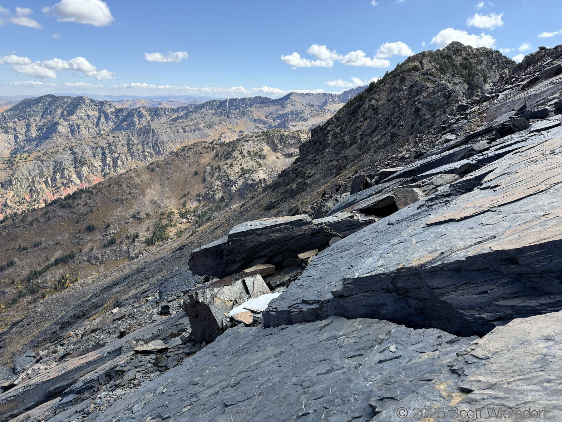
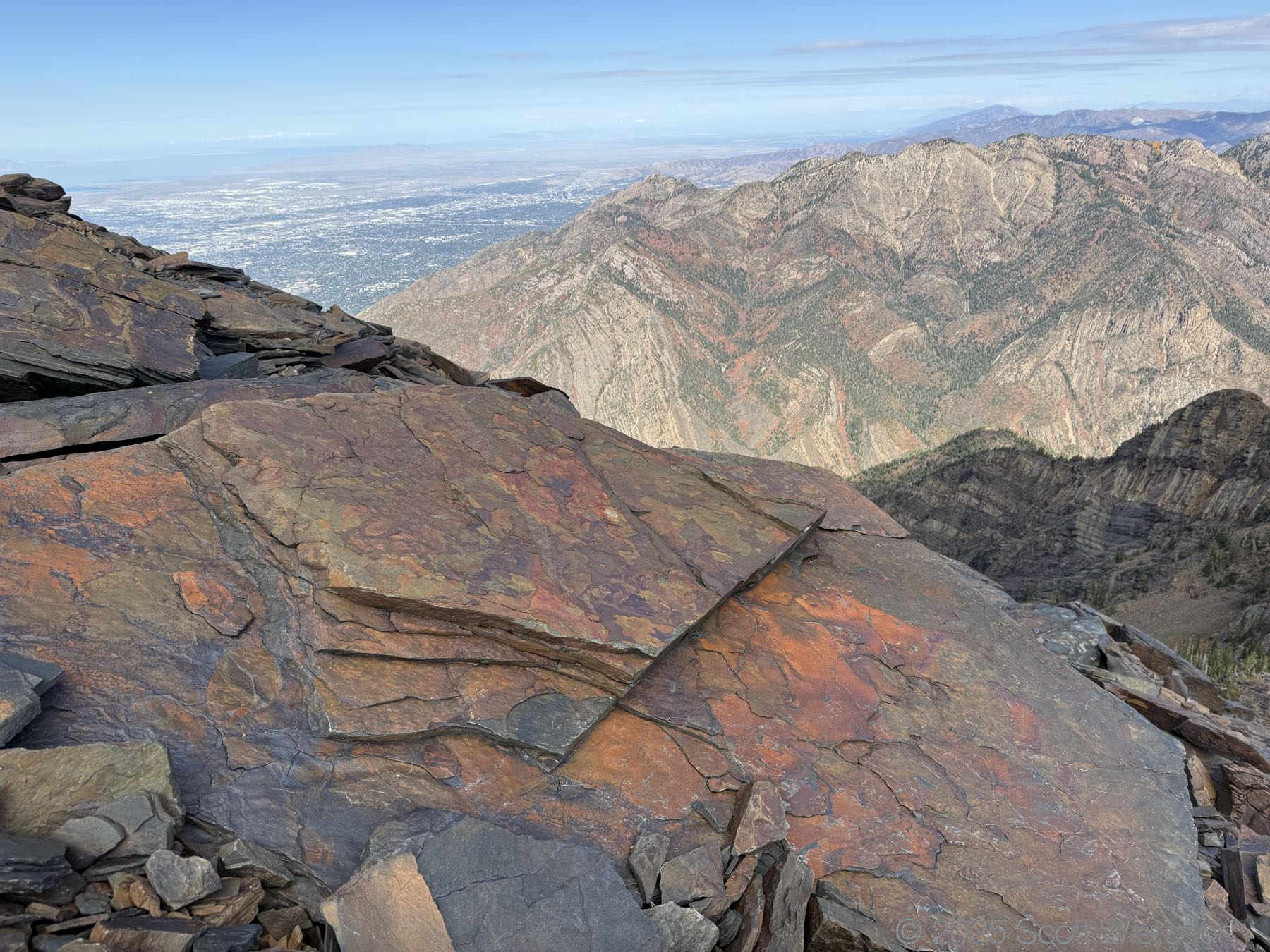
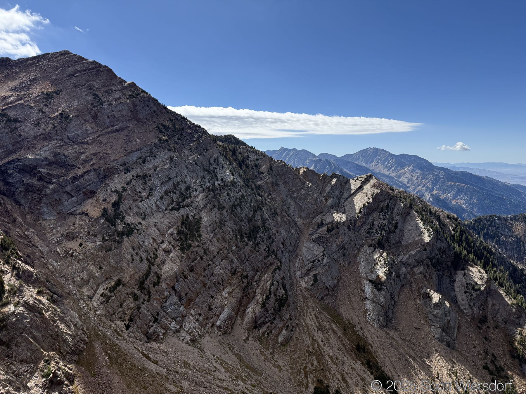
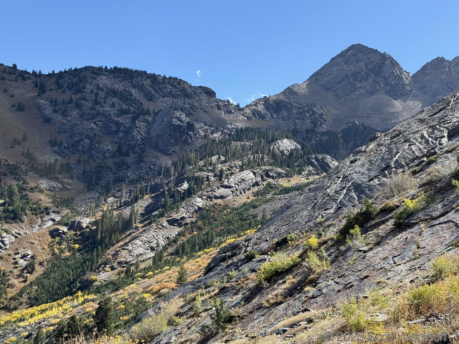
Our ambition was lower than when we were half our ages, and this doesn’t bother us. Our objective was (merely) the 4400 foot elevation gain from the trailhead to the high point on the ridgeline west of the Twin Peaks, which is prominent from the valley floor:

Our destination

Maybe sometime (probably not) we’ll try Twin Peaks from this route as well (I’ve hiked it before already many years ago and have checked that one off the list).
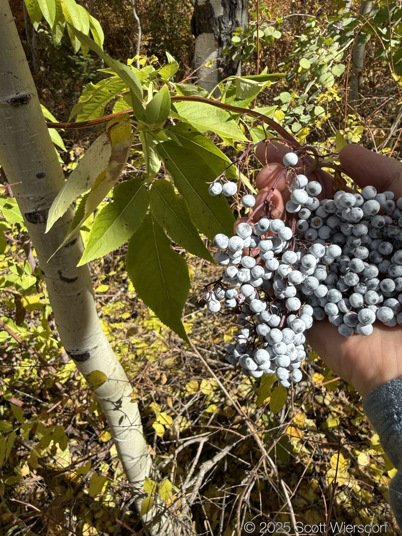
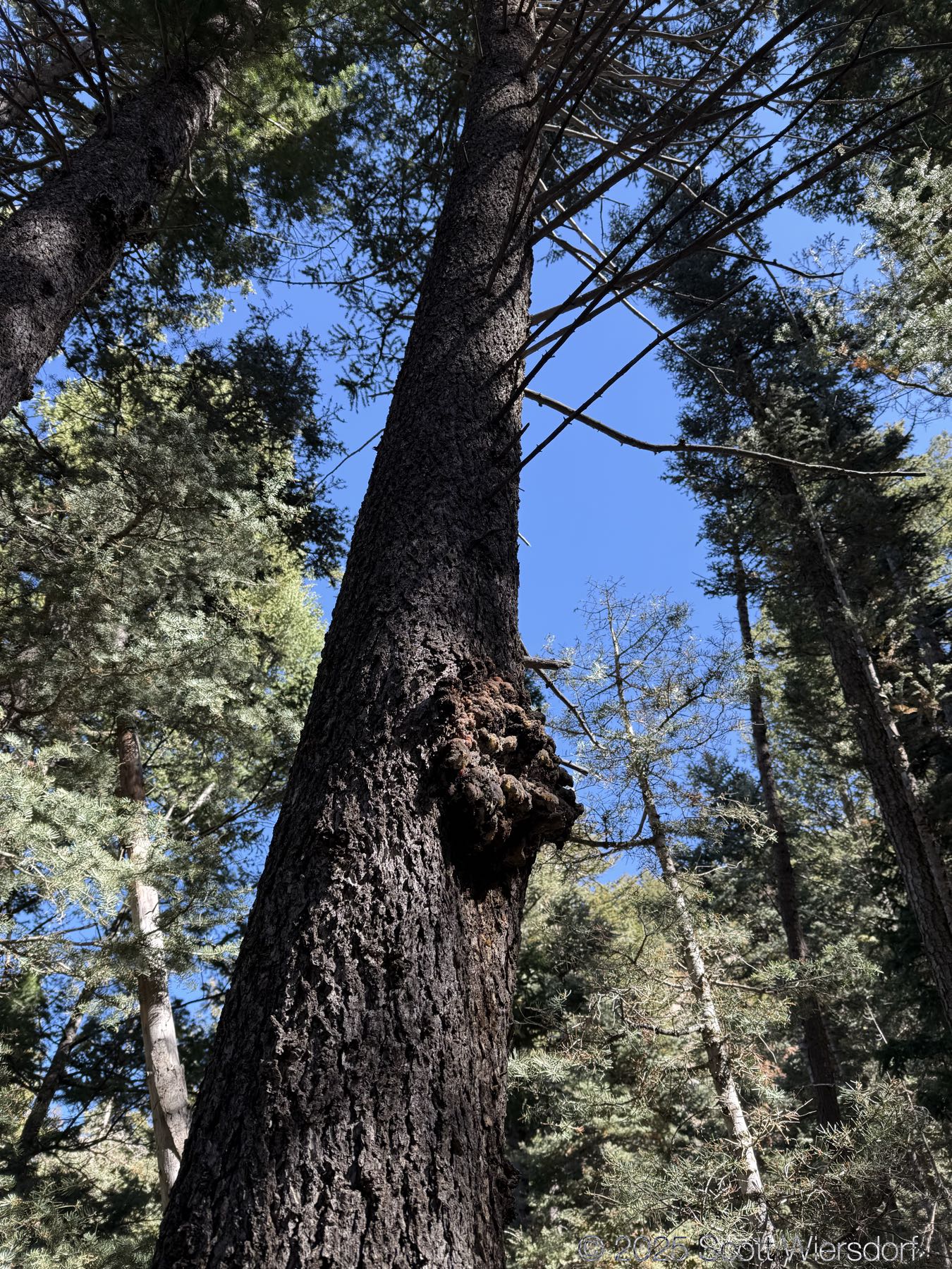
Photos

A little rock for climbing
Fresh trail after the rain

A little deer family

Broads Fork creek
The bridge (a little more than a mile up the trail)
North side of Big Cottonwood Canyon: very rugged
Looking up Broads Fork, elderberries for scale
Red-tailed hawk landing
Still some lovely color
West side of Broads Fork
West side of Broads Fork, elderberries for scale
Aspens
Peaks above Broads Fork (l-r): Dromedary, O’Sullivan (Sunrise), East Twin; our route is up a draw to the right
Robinson Variation is just right of the large pine, up the draw to the ridge
Looking north; Mount Raymond and a bit of Gobbler’s Knob in background
Ponds in upper Broads Fork
Upper Broads Fork
Yes, this is the Robinson Variation. The route up is (too) well-marked with cairns; down: YOYO
Ooo-tee-dee!
A clean view of the Robinson Variation draw to the ridge
Steepitude
Life signs
A little lichens
A view of Mount Raymond and Gobbler’s Knob on left and Kessler Peak on right
Peaks
The geology of the canyon is beautiful
The upper part of the draw
Looking north; Broads Fork ponds below
Panorama: Monte Cristo is visible on the far right
The ‘M’-shaped peak is Monte Cristo; Sundial to its left in upper Mill B South Fork
There’s a marmot in this photo
Even the rocks get into the fall colors
Just a few more steps to the top of the draw (but not the top of the ridge)
From the top of the draw, look south: this is our destination
Mount Raymond; my brother for scale

A piece of shale

Storm Mountain
A little snow from yesterday’s storm
Looking east, Kessler Peak on the left
Getting closer, but man, there are a lot of rocks up here.
Every autumn one can observe the beautiful colors of the rocks in upper Broads Fork
On the summit, looking east to Salt Lake Twin Peaks
Looking west down North Fork Deaf Smith Canyon
Looking south toward Lone Peak and Thunder Mountain
The ridge from here to the twins is another thousand feet of elevation

Looking down into North Fork Deaf Smith Canyon

Looking north down Broads Fork and Big Cottonwood Canyon
A horn-shaped rock; about 5 feet long
Marmot poop. I first thought it was pika poop and got excited because “pika poop”
A little life in the rocks
Across Broads Fork toward Dromedary Peak
Elderberries
A tree with cancer

GPX & Map

My GPX track (view on Footpath ).


Last modified on 2025-10-01