My brother texted me on the 4th of July in the evening wondering if I wanted to hike the next day. We had no plan or destination in mind, so I looked around my maps a little and thought maybe we could try Ferguson Canyon. I hadn’t been up this canyon for many years and couldn’t remember what it was like.
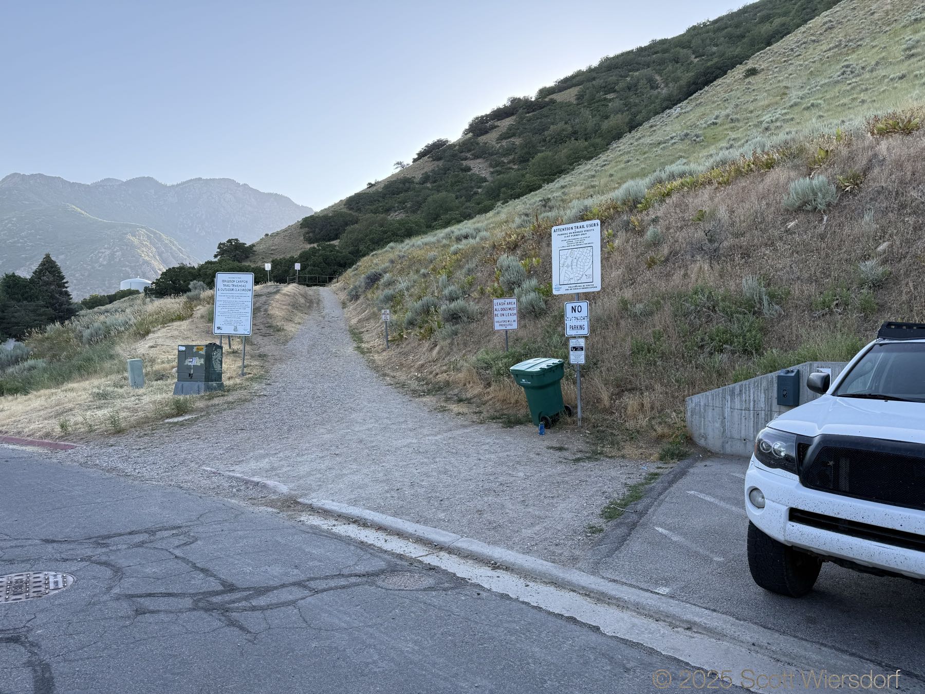
As always, Girl on a Hike offered good advice for parking and what to expect on the trail to the switchbacks.
There isn’t much parking, maybe a dozen spots (there are a few extra spots just north of the first lot by the trailhead).
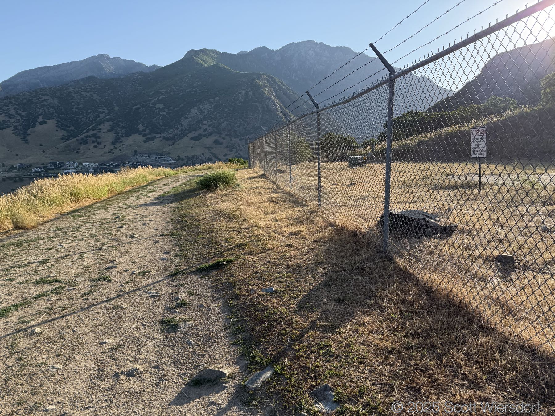
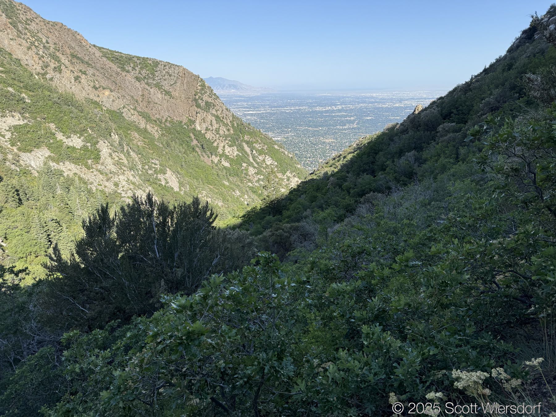
The first quarter mile or so is mostly level or downhill. You’ll pass a water tank with views of the mouth of Big Cottonwood Canyon.
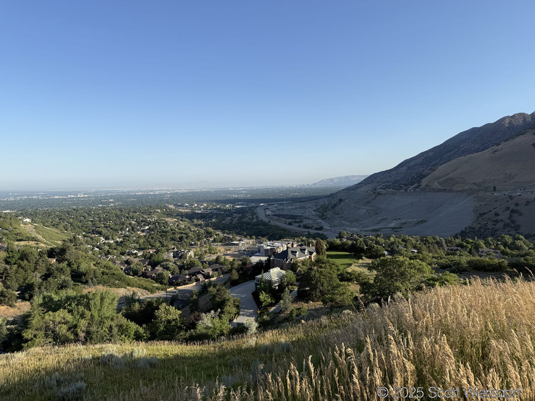
And turning toward the valley a view of the lovely gravel pit (I mean this… this is nostalgic for me) at the mouth of the canyon.
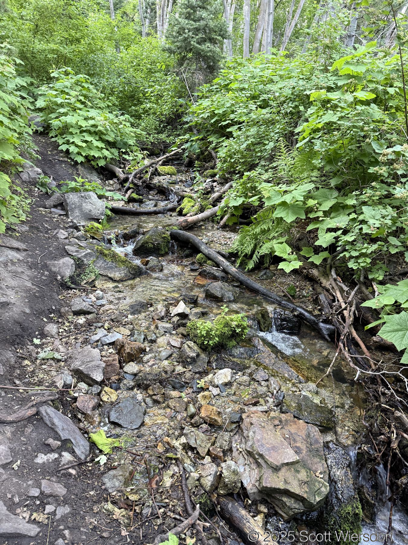
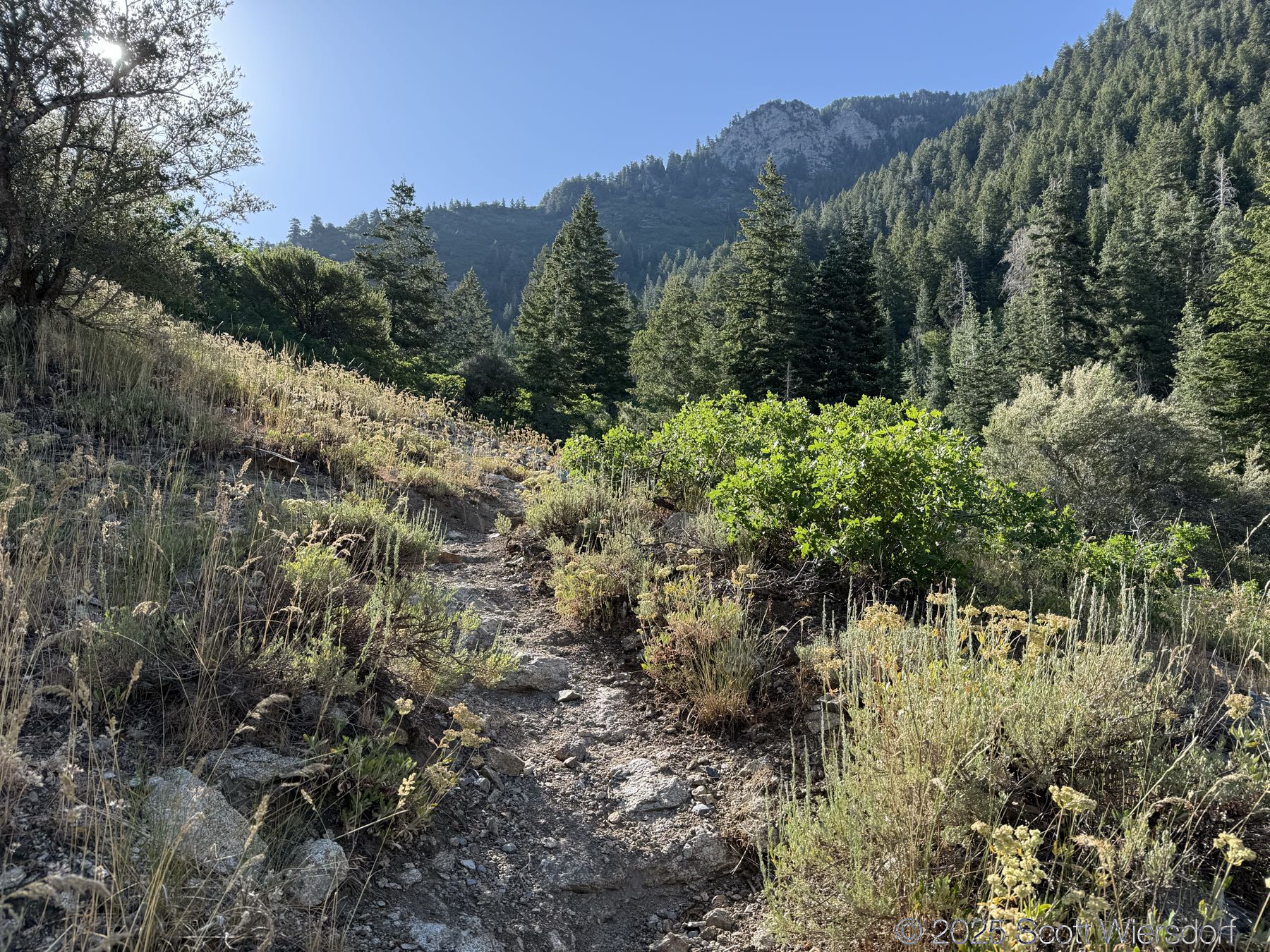
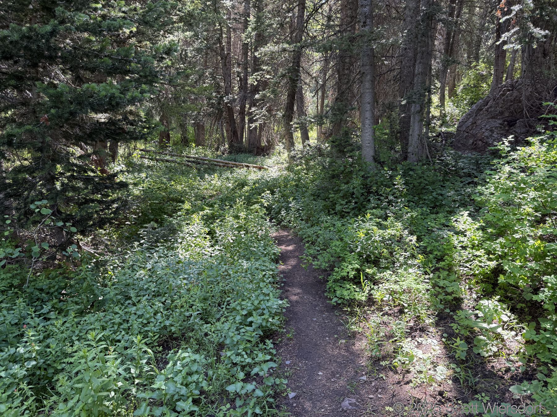
The trail is shady and cool along the stream for the first mile and a quarter until the switchbacks. Even as you leave the switchbacks, the trail stays shady through mid-morning even in July.


There is plenty of water on the trail until the switchbacks start:
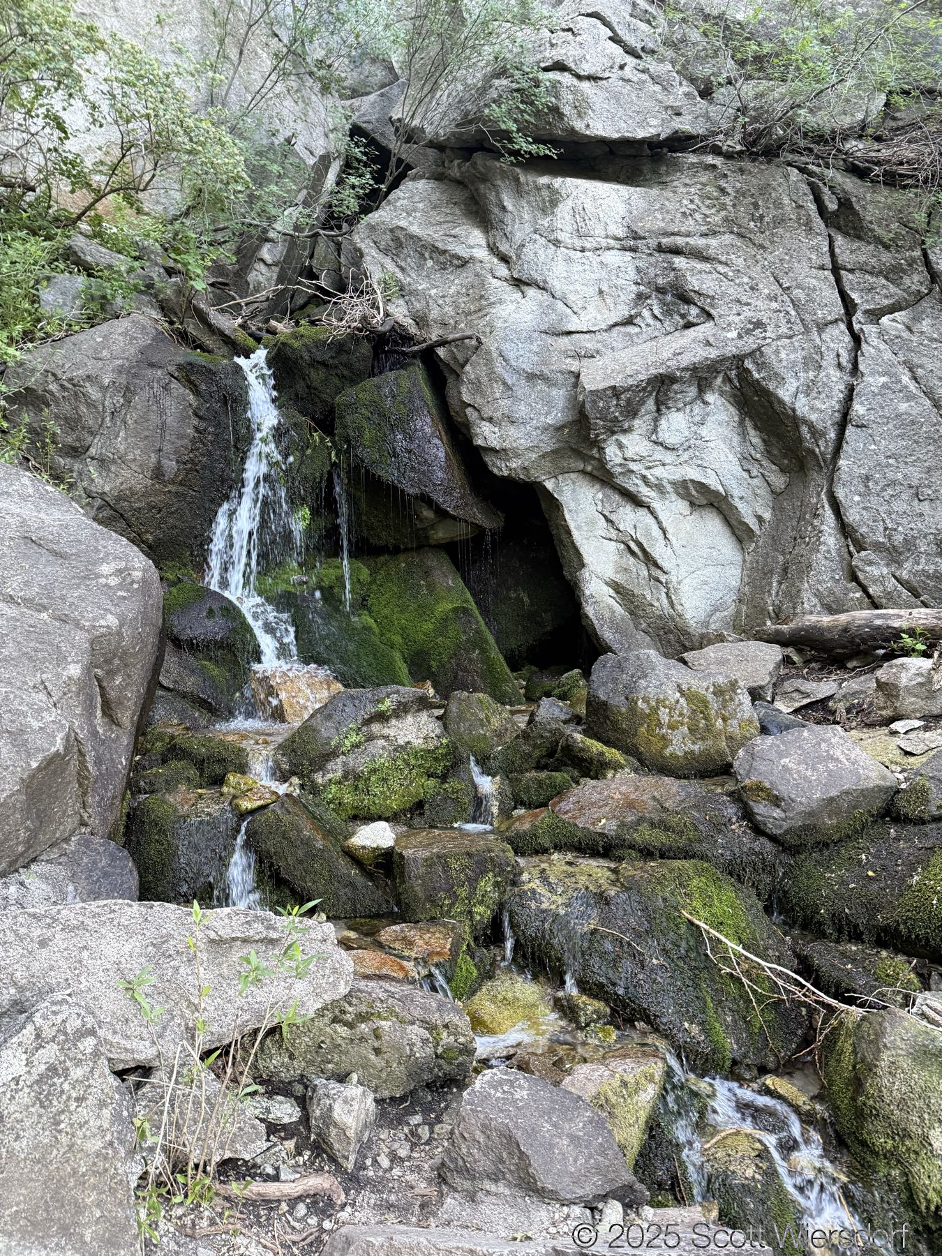
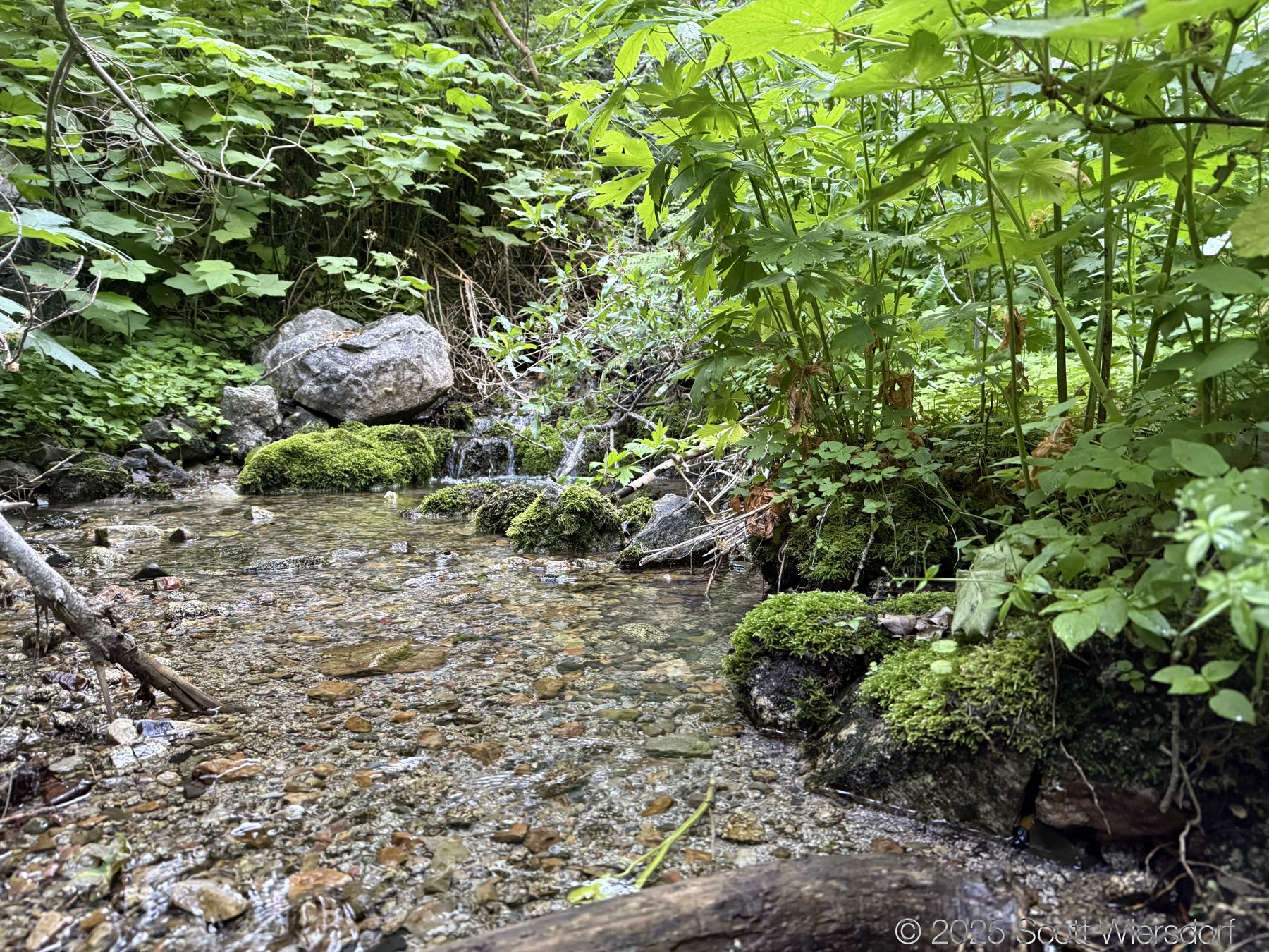
You’ll cross the creek a few times. I would imagine that in spring these crossings would mean wet feet, but with the water this low there were enough rocks or logs to stay dry.
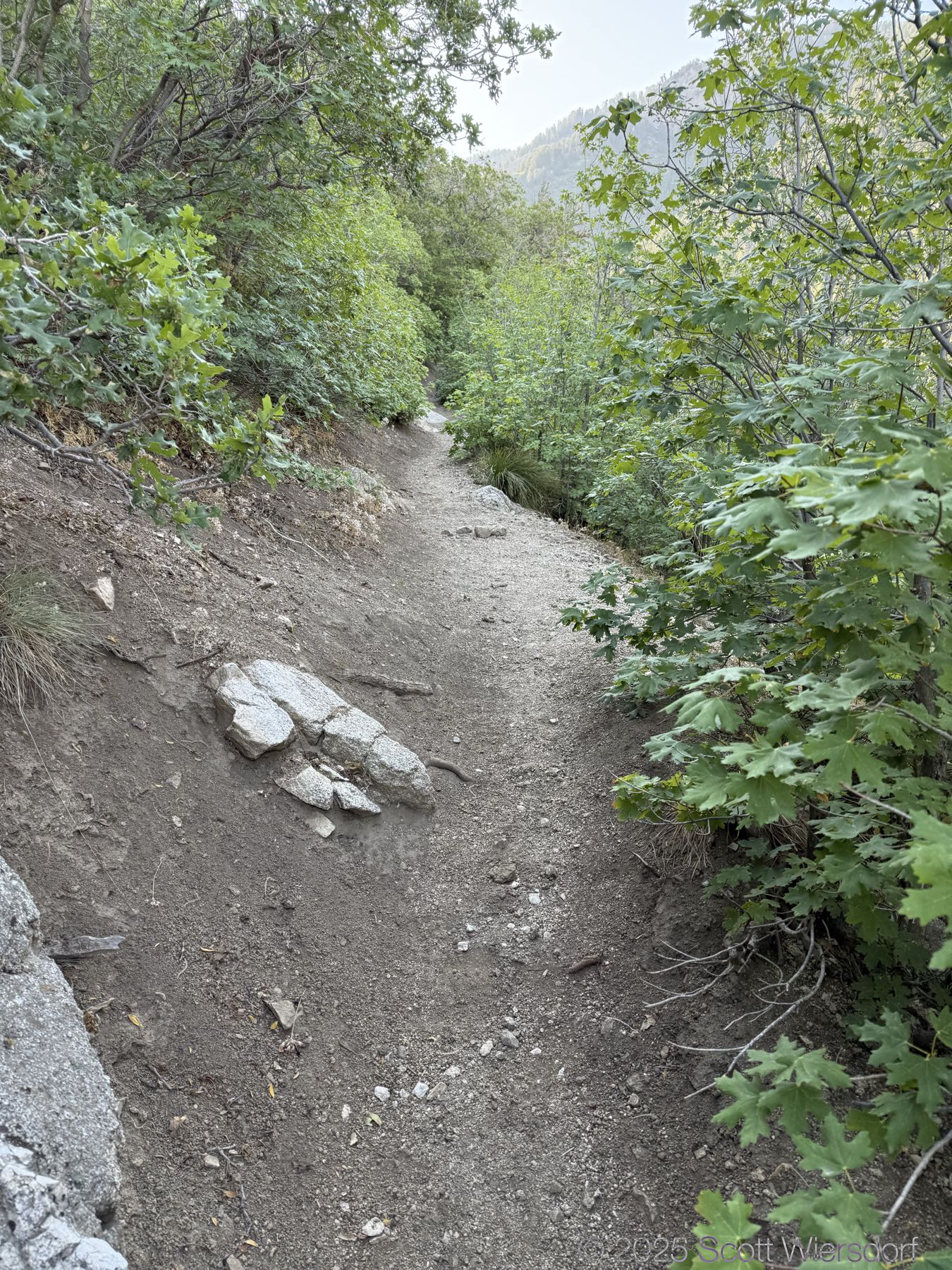
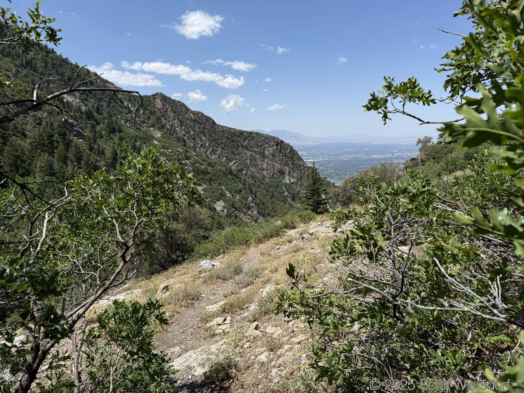
The switchbacks start about a mile and a quarter up the trail:
At the last switchback you can stay left to an overlook with some hoodoos. I took these shots on the way down (in case you had some sunlight continuity question):


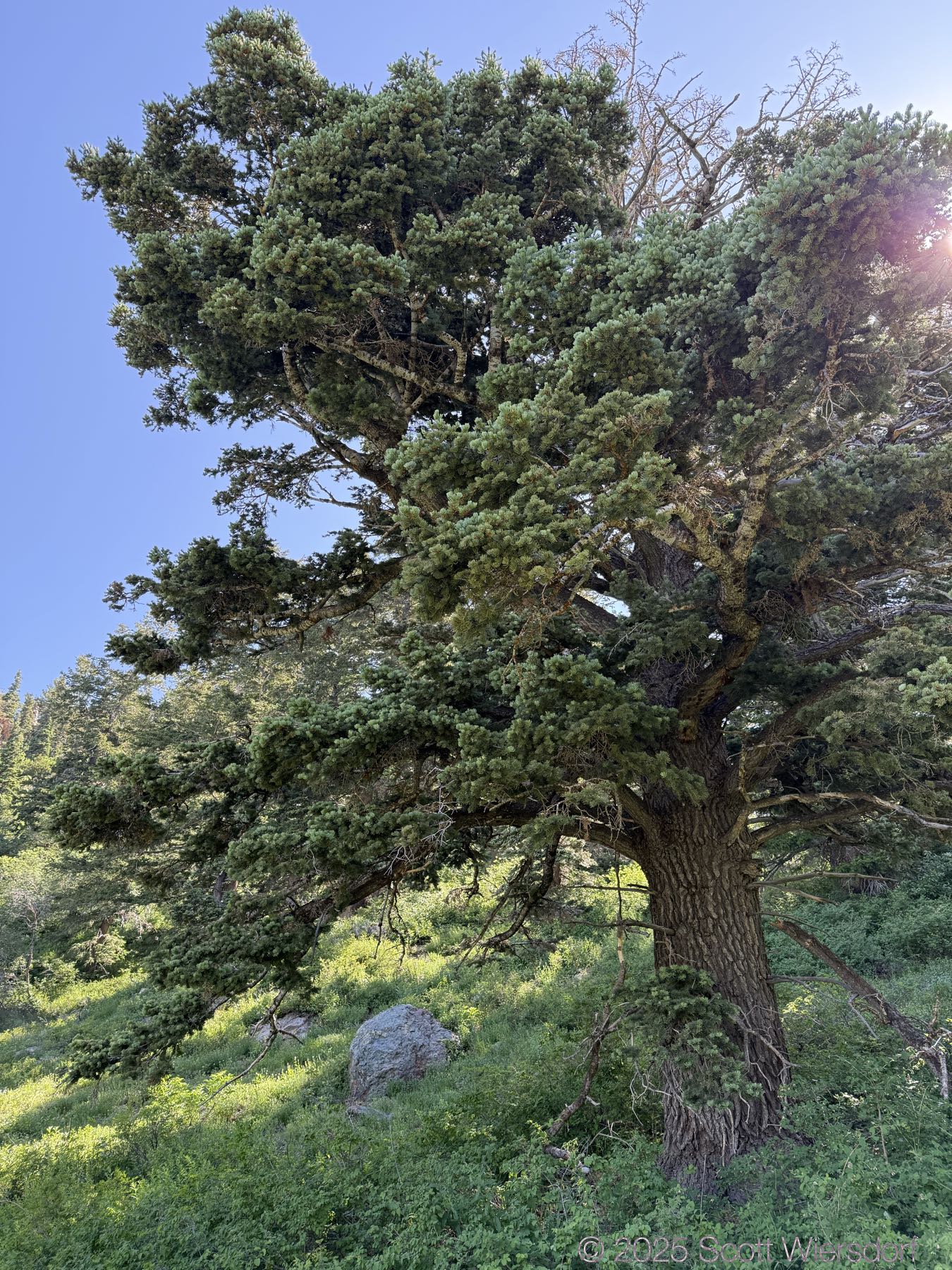
The lower trail has your typical maple, Gambel oak, chokecherry, etc. and as you leave the canyon bottom you get your typical mountain mahogany.

I cannot recommend enough getting an early start. We had good shade for nearly 4 hours.
This is another shot near the previous taken in the afternoon on the way down.
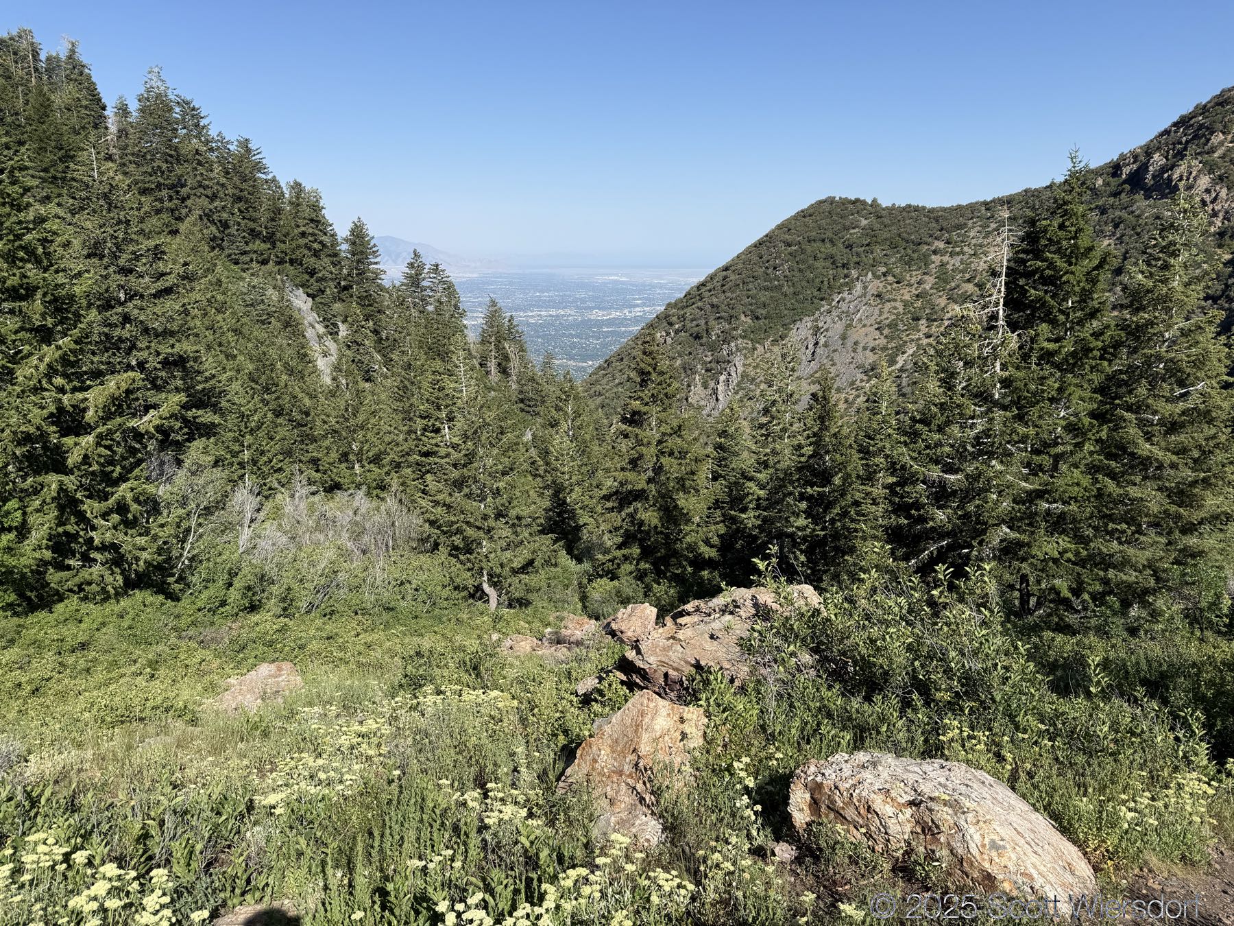
A panorama of the canyon including Hounds Tooth:
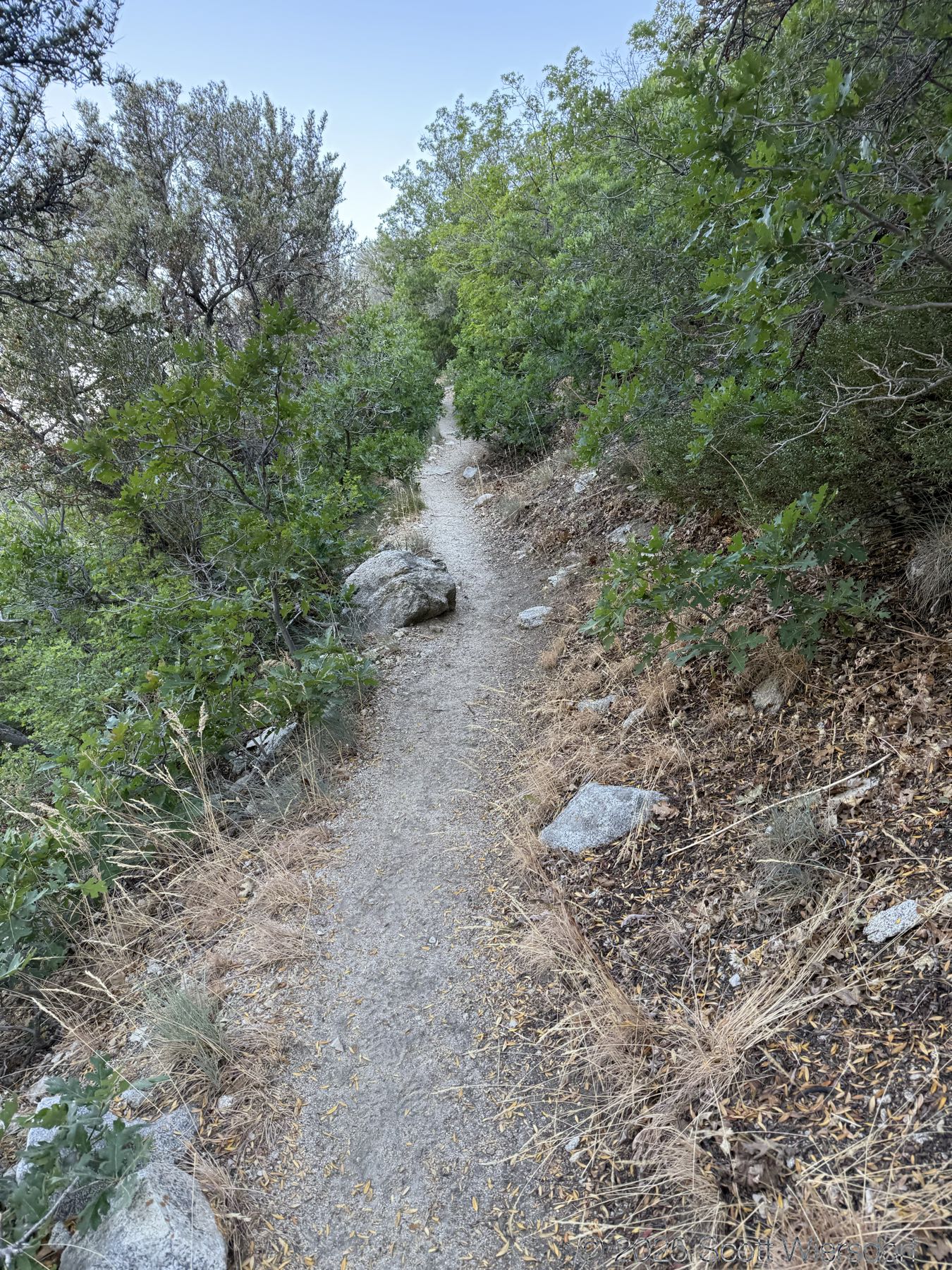
The trail after the switchbacks is less maintained, but is never hard to find.
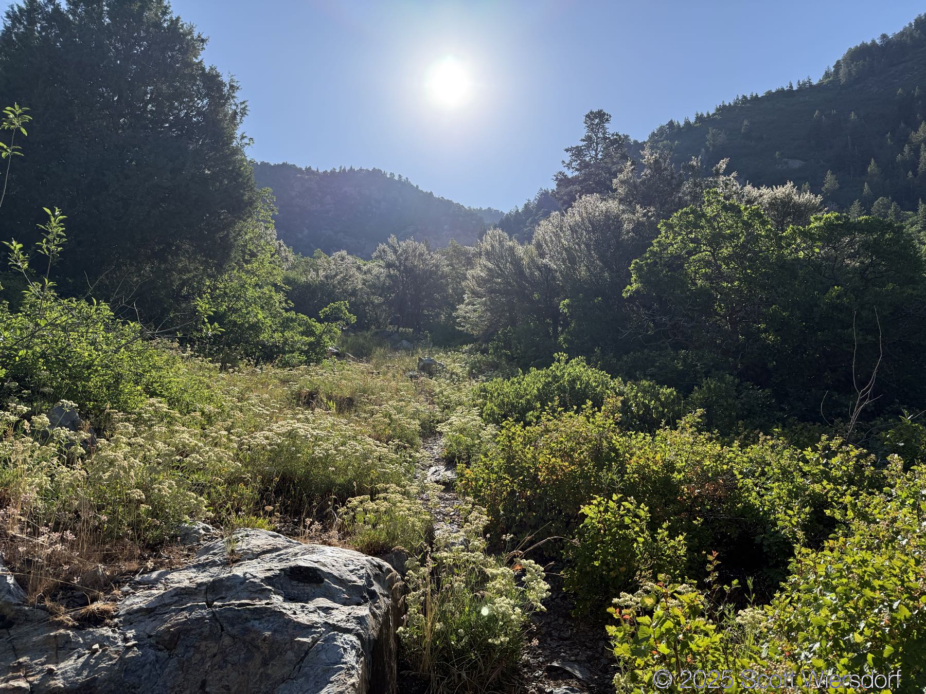
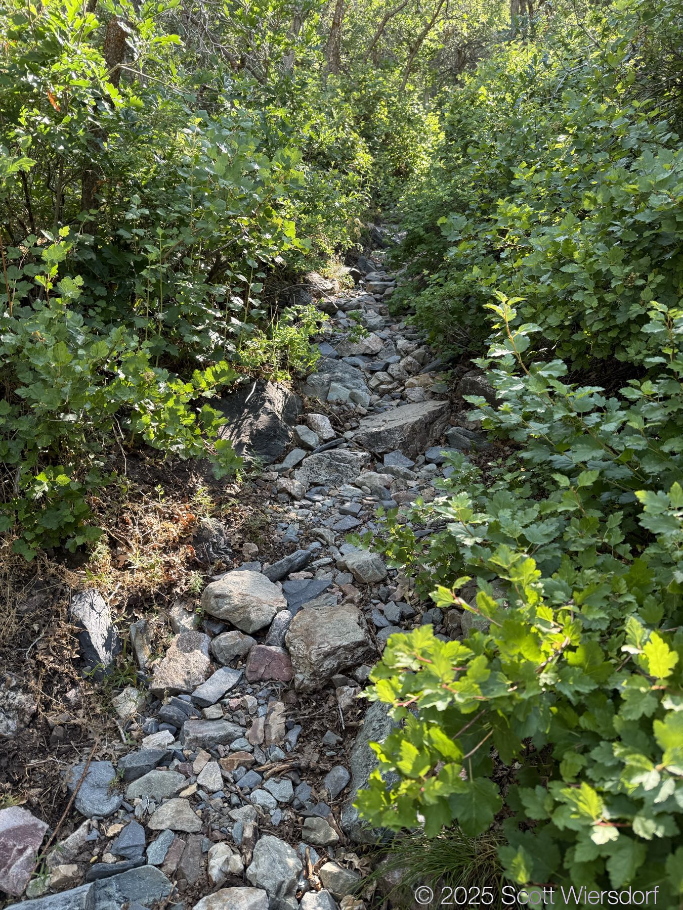
In some places erosion has made the trail into what looks like a stream bed.
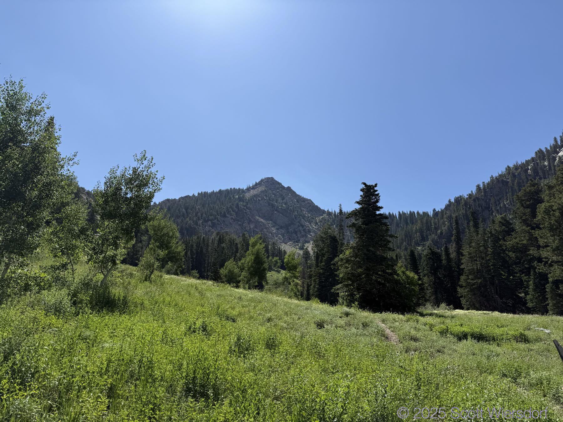
Here is a view of Upper Meadow:
As the sun came up, all the bugs came out: flies, mosquitos, bees, dragonflies, butterflies, etc.
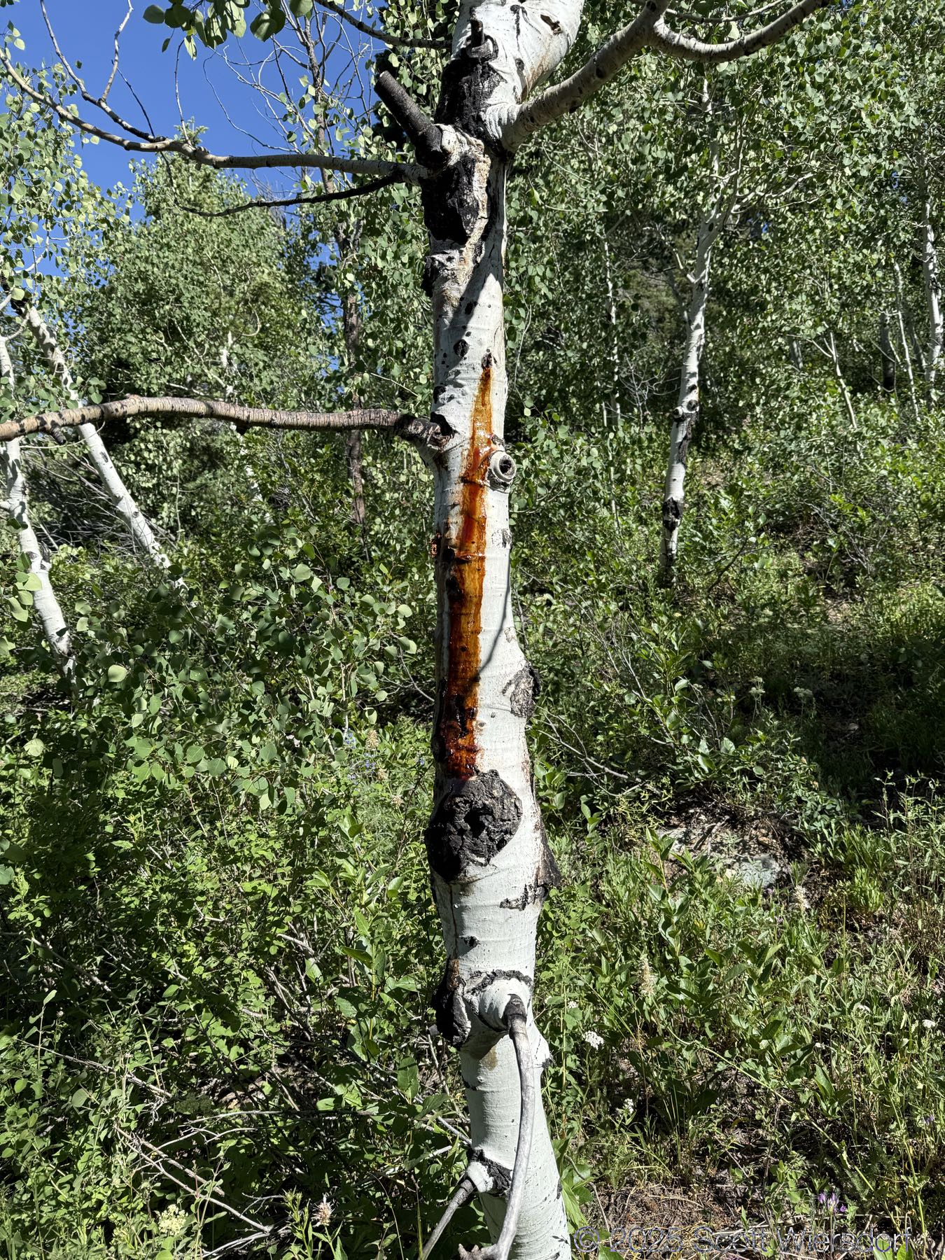
What is this? Bacon grease? Something else?
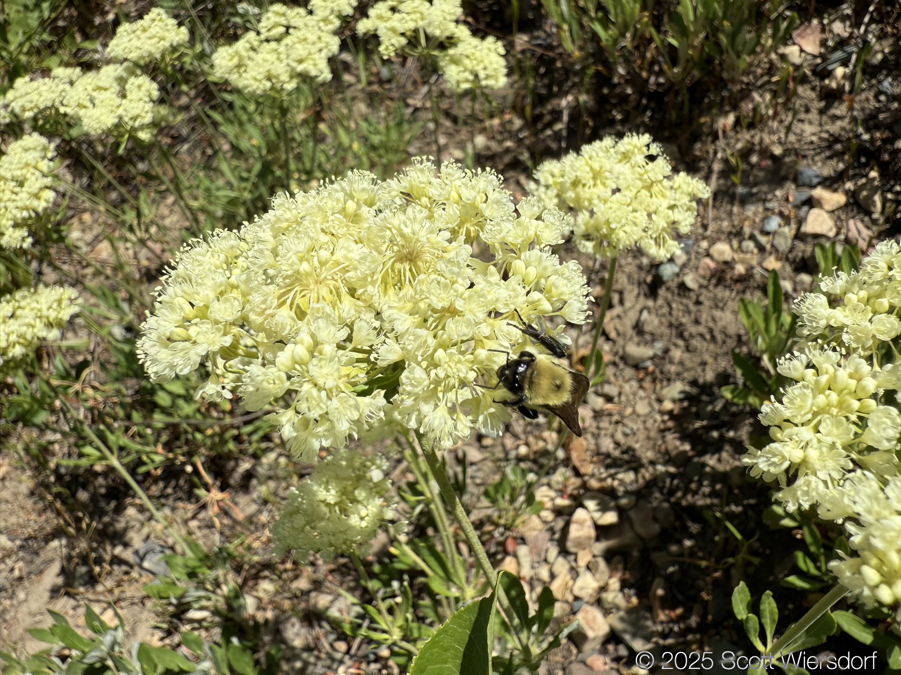
I don’t know what these are, but they kind of stink. Bees seemed to love them.
As we got a little higher and nestled back into the canyon bottom, it got shadier with some aspens and firs.
Ferguson Canyon might be the best route up to Storm Mountain.
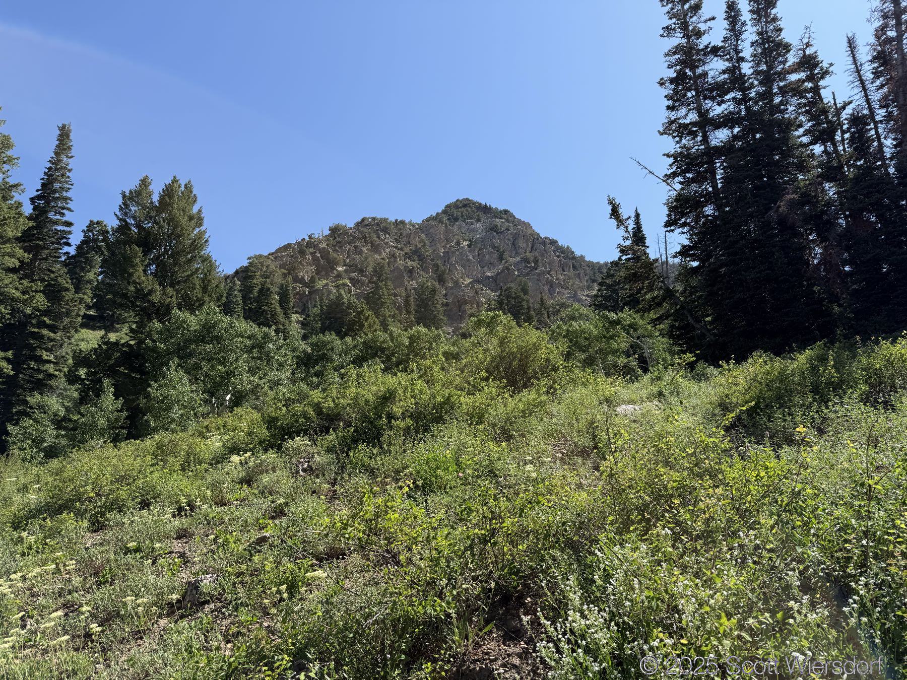
Here is another meadow above Upper Meadow, we’ll call Uppier Meadow:

The trail officially peters out at a rock field, but cairns guide those who want to continue up toward the ridge that some take toward the Salt Lake Twins.


After last month’s way-too-steep hike up Mahogany Mountain, this wasn’t too bad, though 1000 feet of gain per mile is a pretty good grade.
My GPX track (view on Footpath ).
Last modified on 2025-07-05