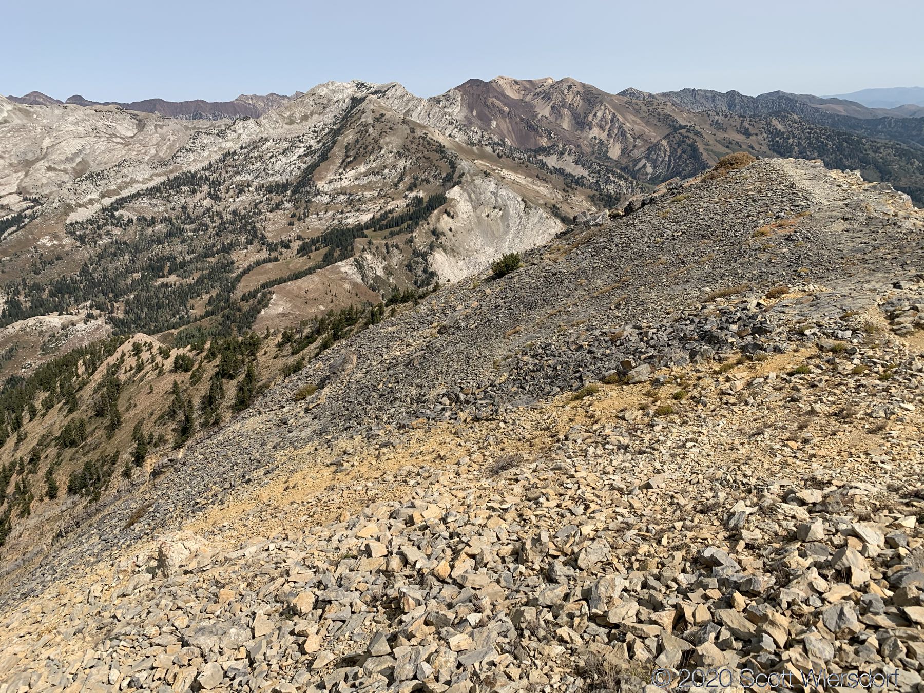
Box Elder Peak is my new favorite hike in Utah County: you get views at over 11,000’ of elevation (nearly 5,000’ of gain), including some up-close views of the ridgeline between American Fork Canyon and Little Cottonwood Canyon all to yourself.
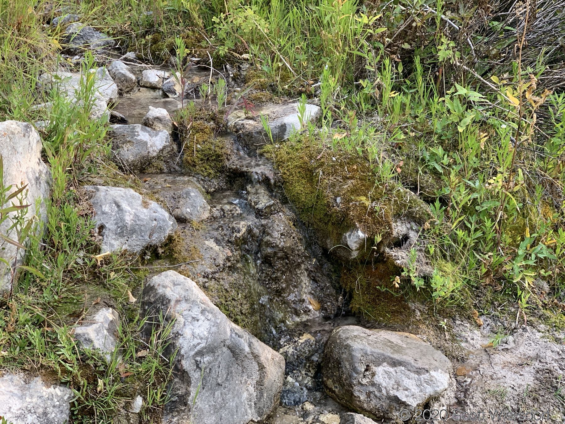
Alicia from Girl on a Hike has a great summary of the route, and a photo of the trailhead parking. Alicia suggests taking at least 3 liters of water, which I found about right for a warm September day. I crossed two or three small streams, but all in the first mile or so. After the first mile, there is no water.
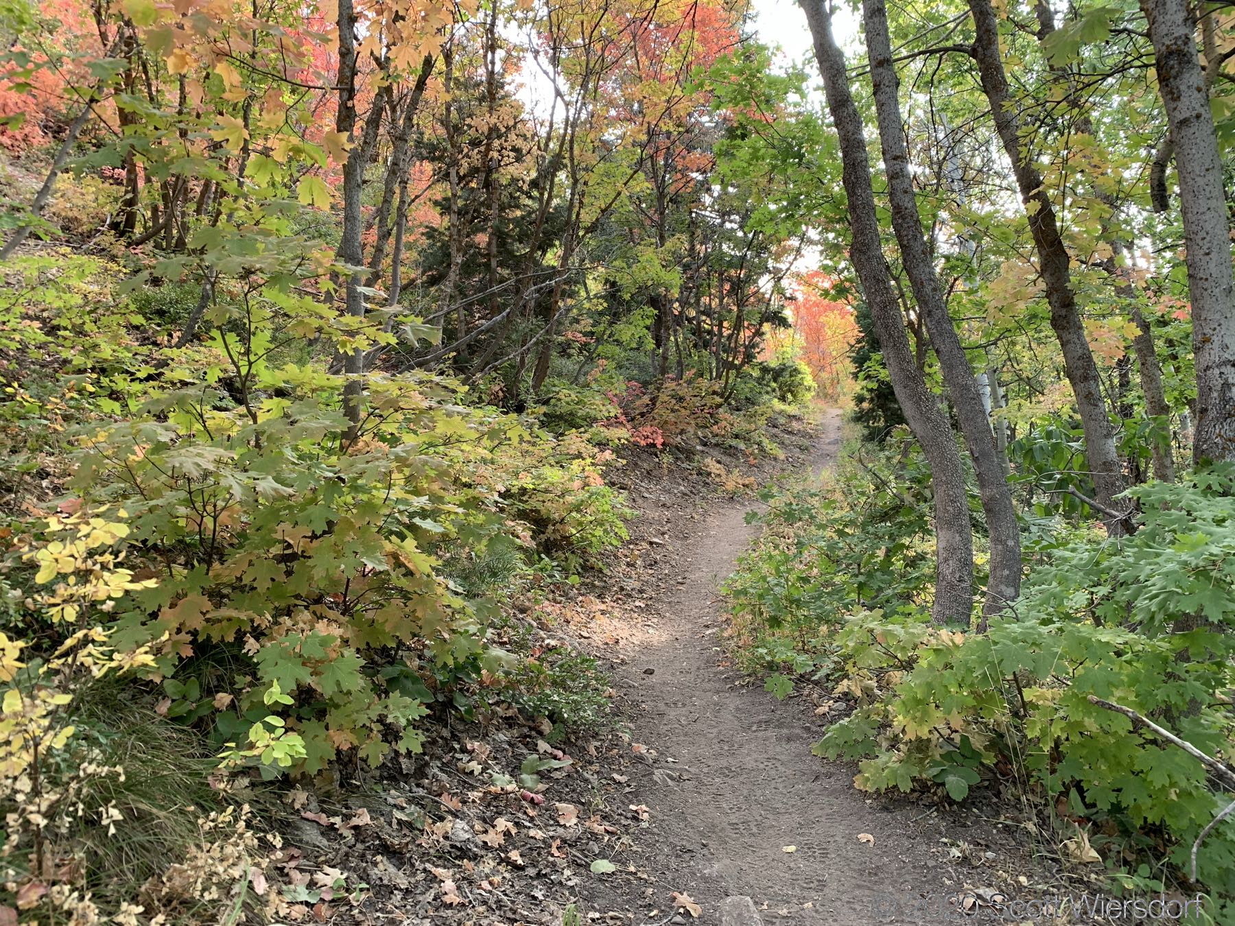
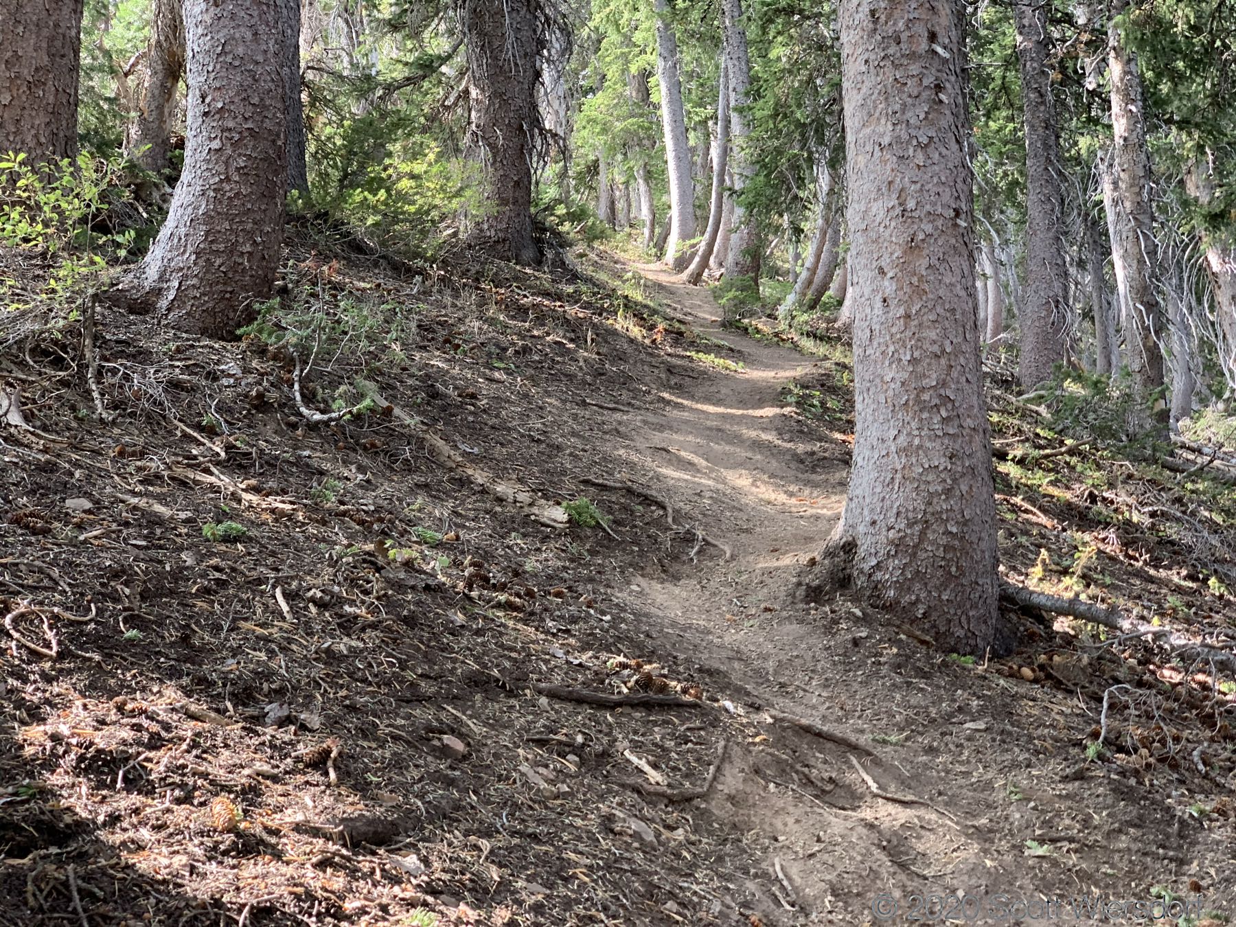
The trail has about the same orientation as the Aspen Grove approach to Mount Timpanogos: facing east and mostly exposed to the sun all day. However, unlike the Aspen Grove approach to Timp, the Box Elder Peak trail has little stands of maples, aspens, firs, and pines that give you some welcome shade roughly every quarter mile or so.
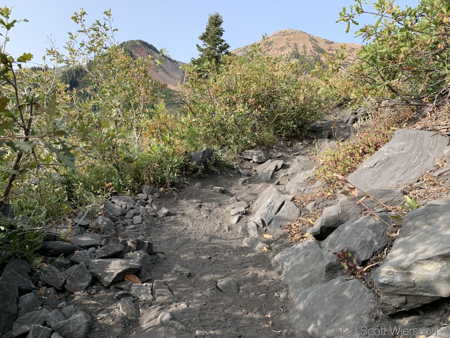
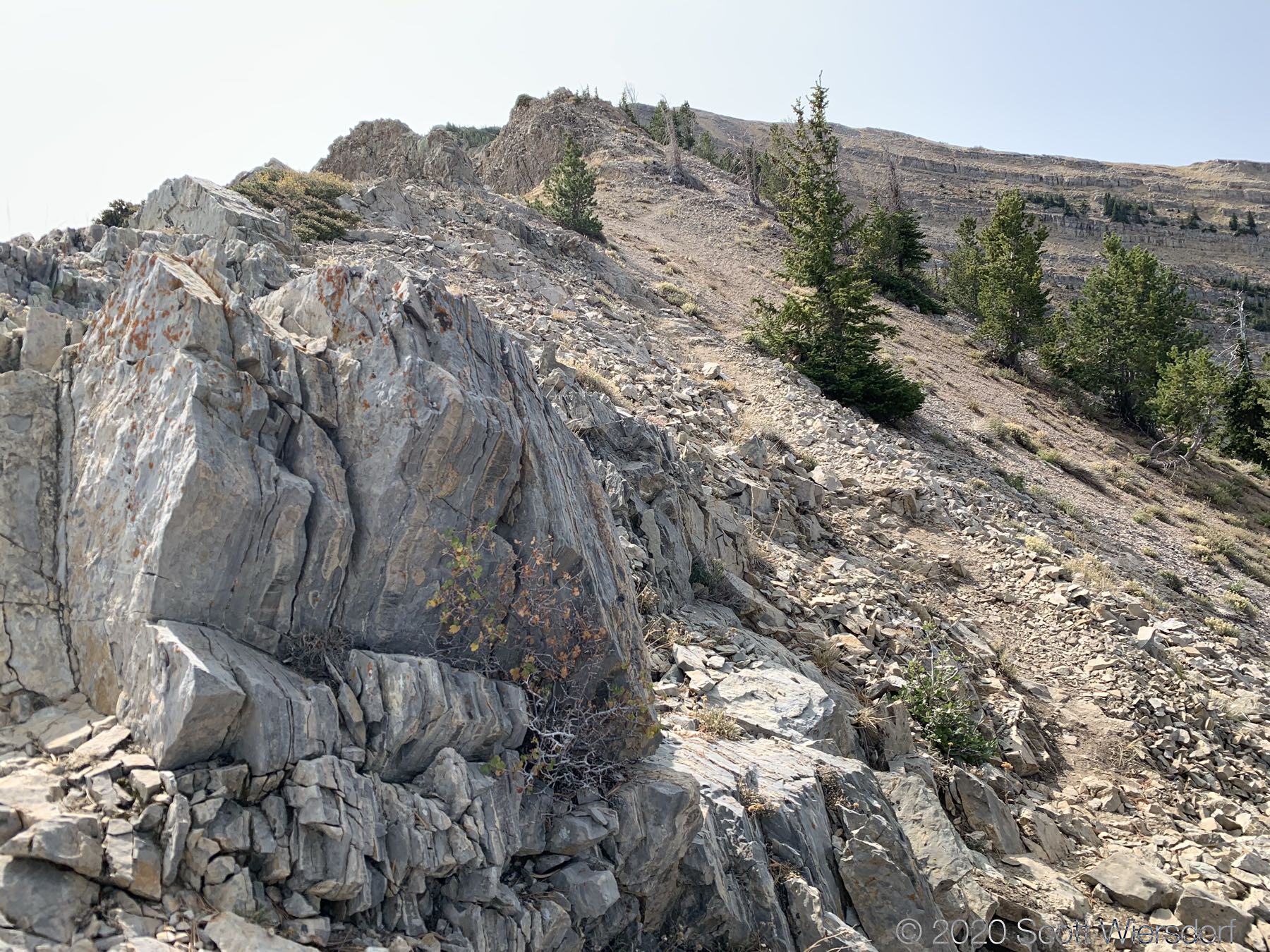
The trail is well-maintained and largely free of rocks most of the route. Most of the trail is crushed granite which keeps the dust down while staying soft underfoot. Between the 2.5 mile and 3.5 mile marks the trail goes through hard granite rock on the trail, but only a few hundred feet of that section are steep.
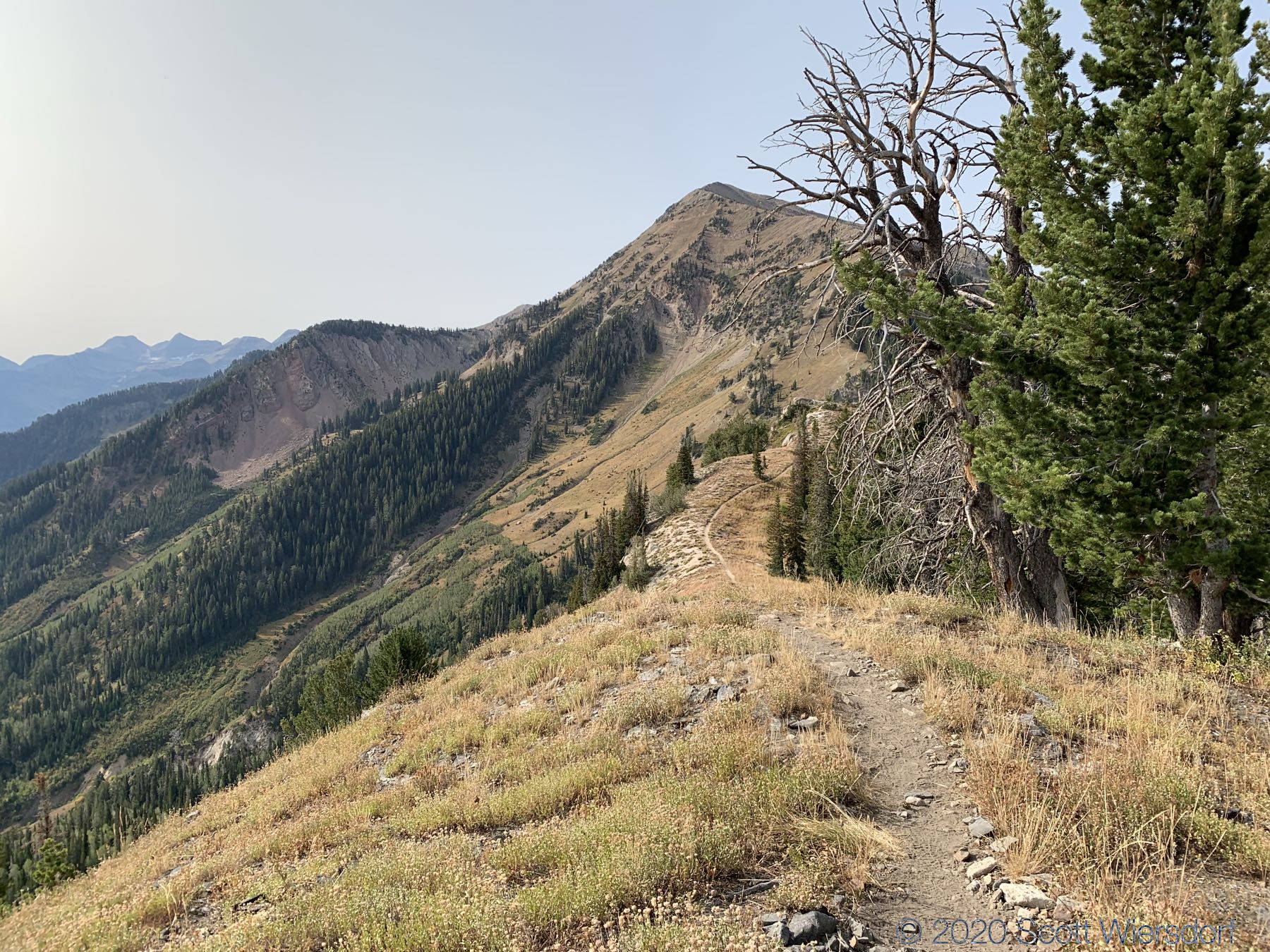
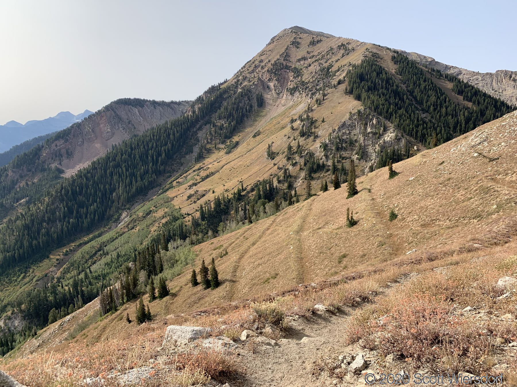
As others have observed , the last mile of the approach is where the action is: 50% grades in some places, and you feel like you’re climbing stairs (but without the footholds)—a great workout for your calves. The last mile of trail from the saddle to the peak as found on most topo maps is either out of date or inaccurate, but as long as you are on the ridge or have the ridge within a hundred feet of your left, you’ll be fine.
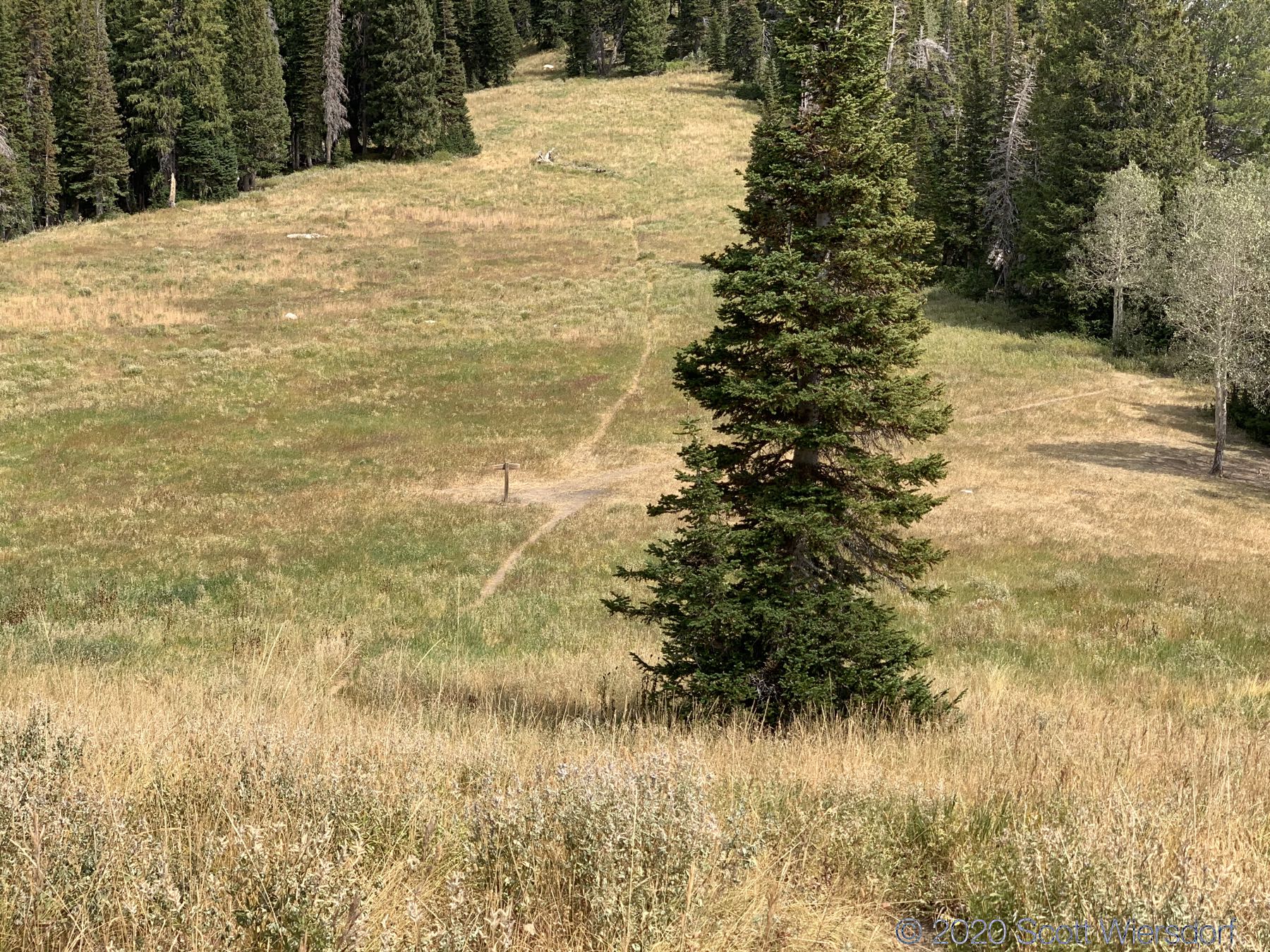
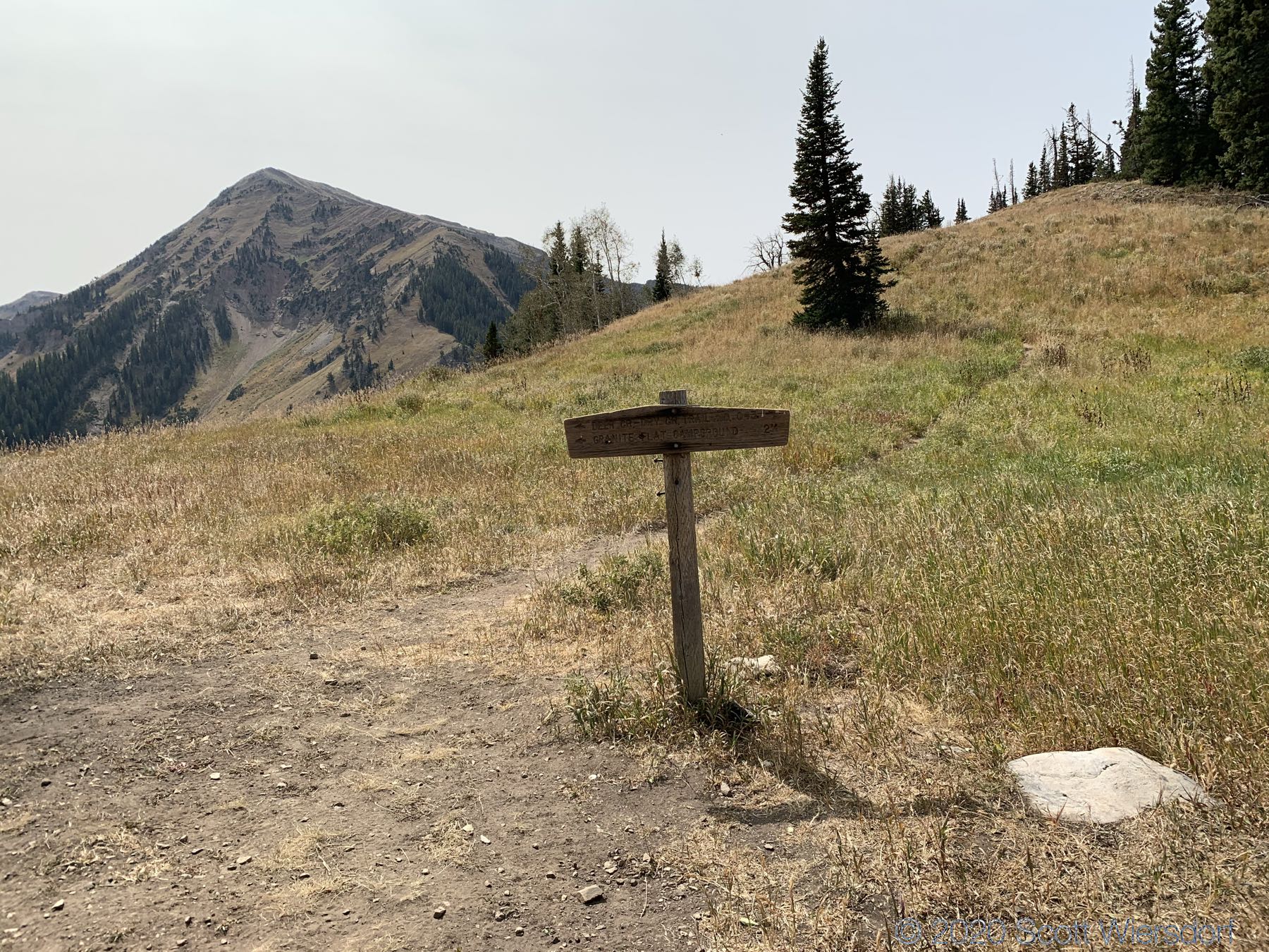
I found at least 3 places on in the last mile or so where the trail seemed like it diverged and I wasn’t sure which way to go. On the way up I often took one route and on the way down I took another and found that I was probably following the “real” trail on the way down.
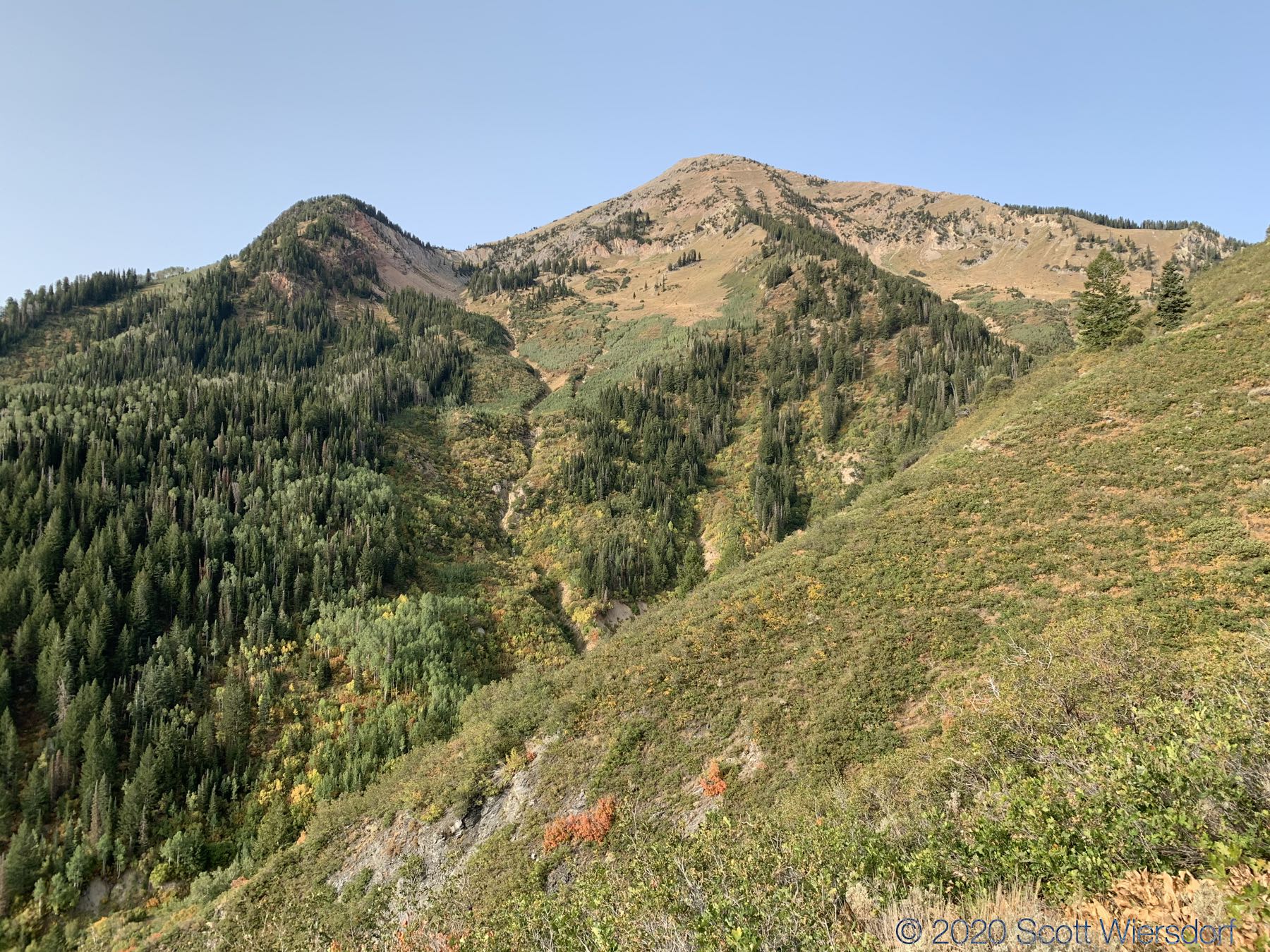
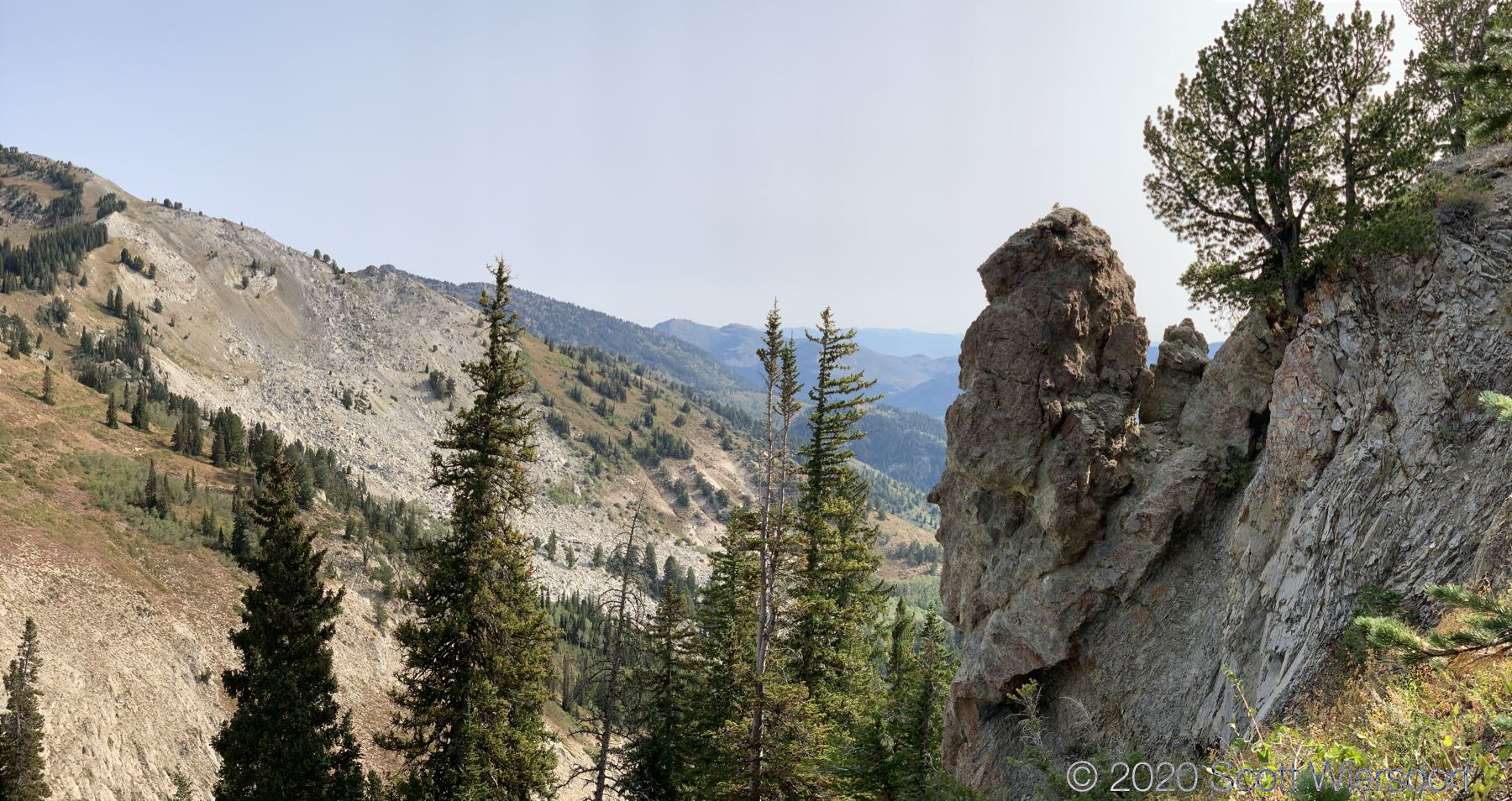
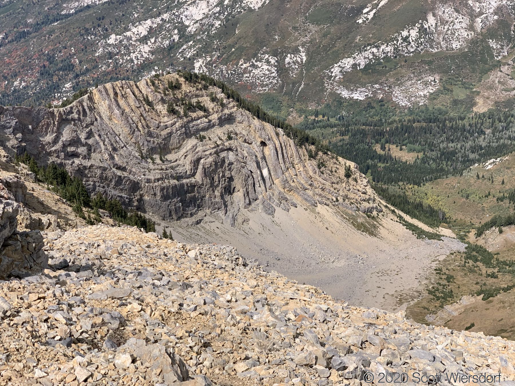
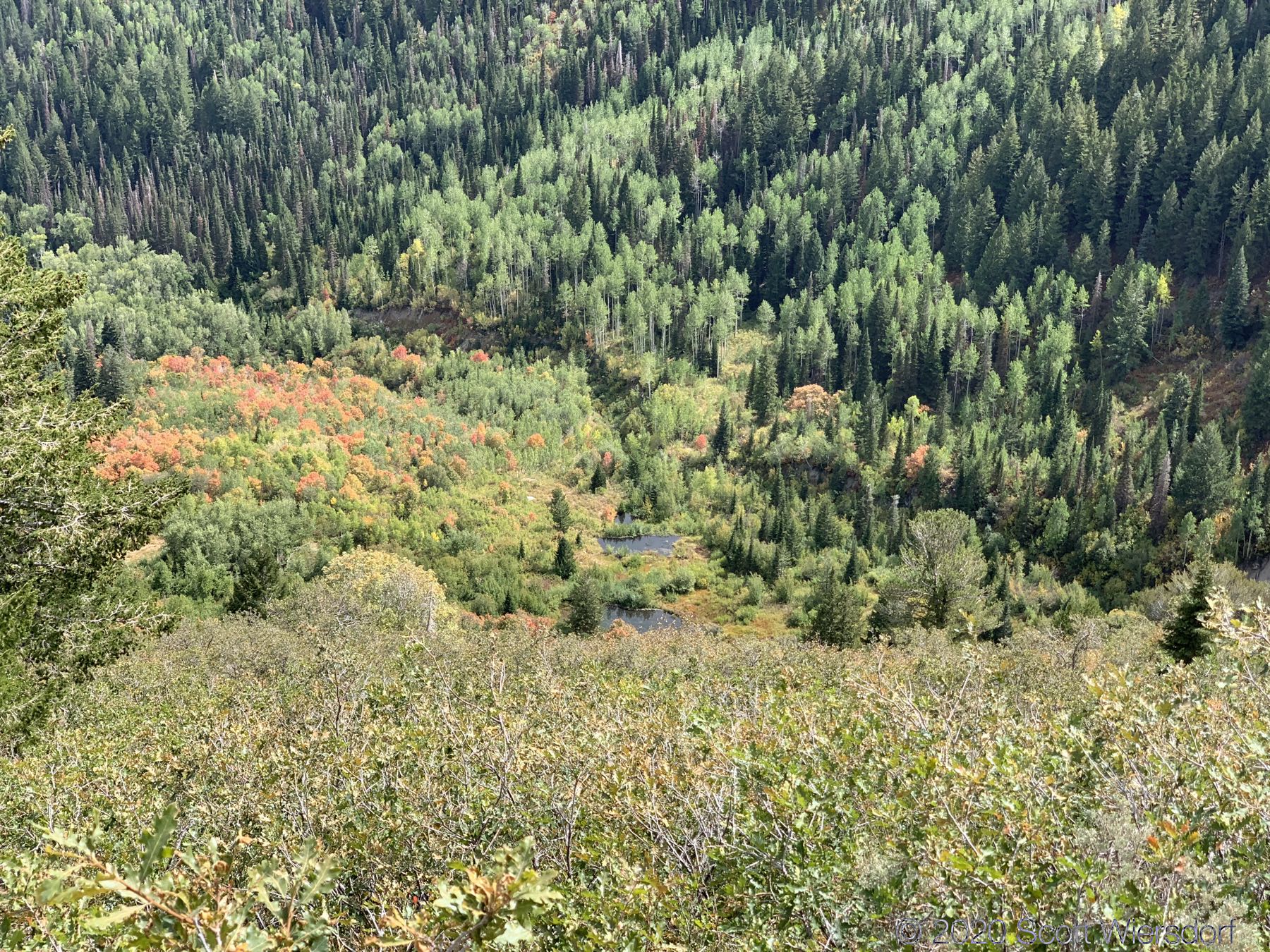
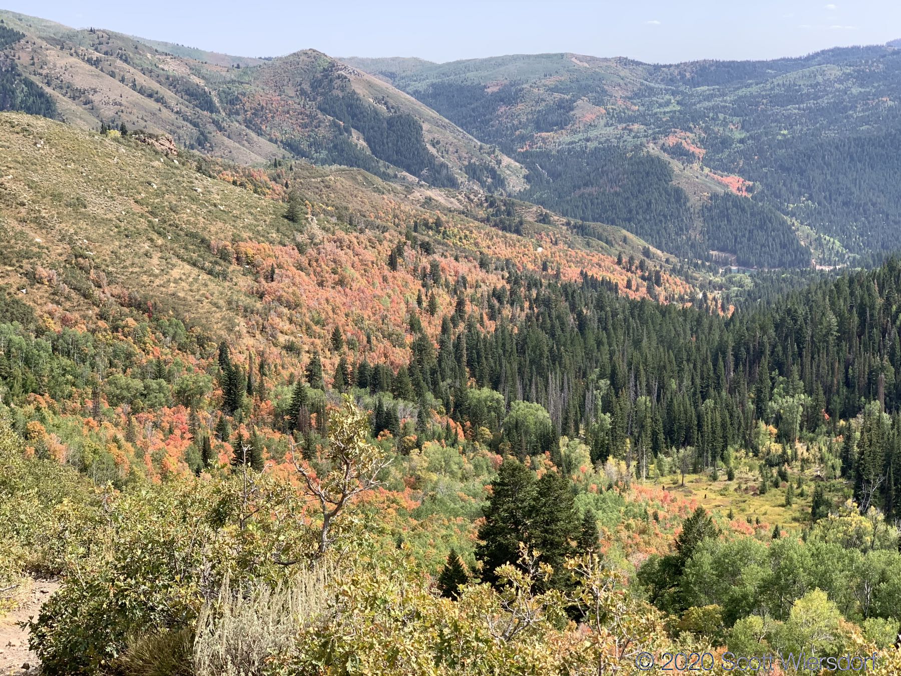
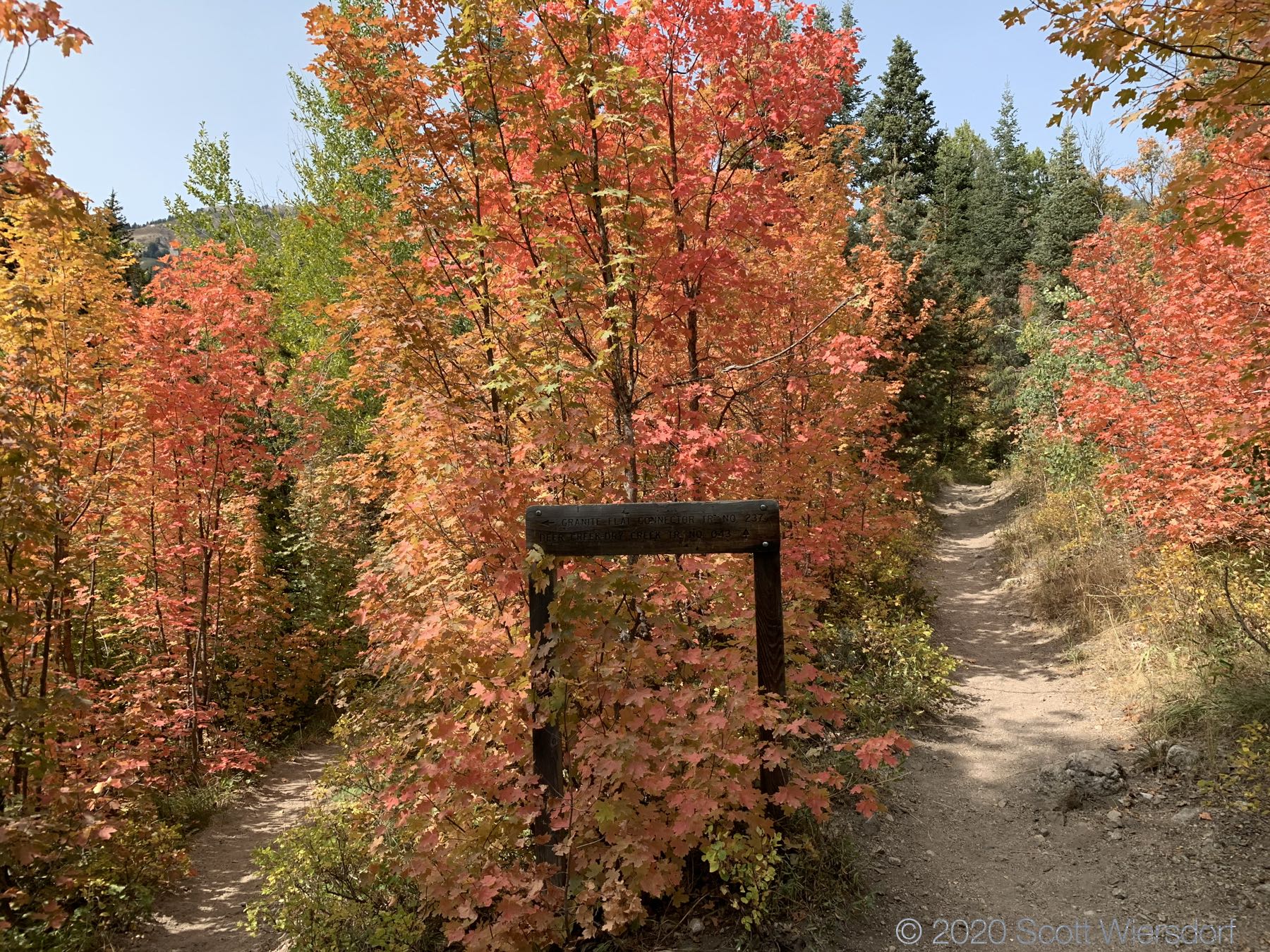
Some sections of the trail felt like another planet:
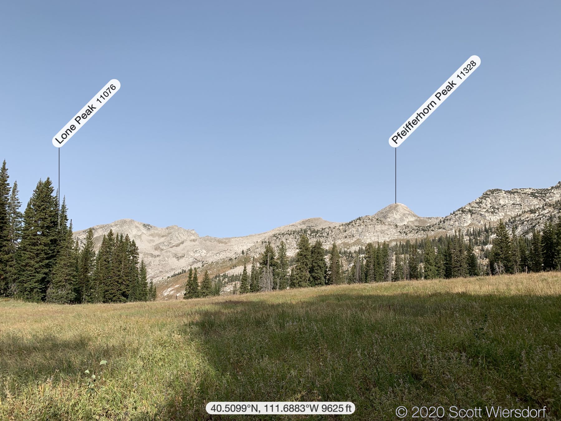
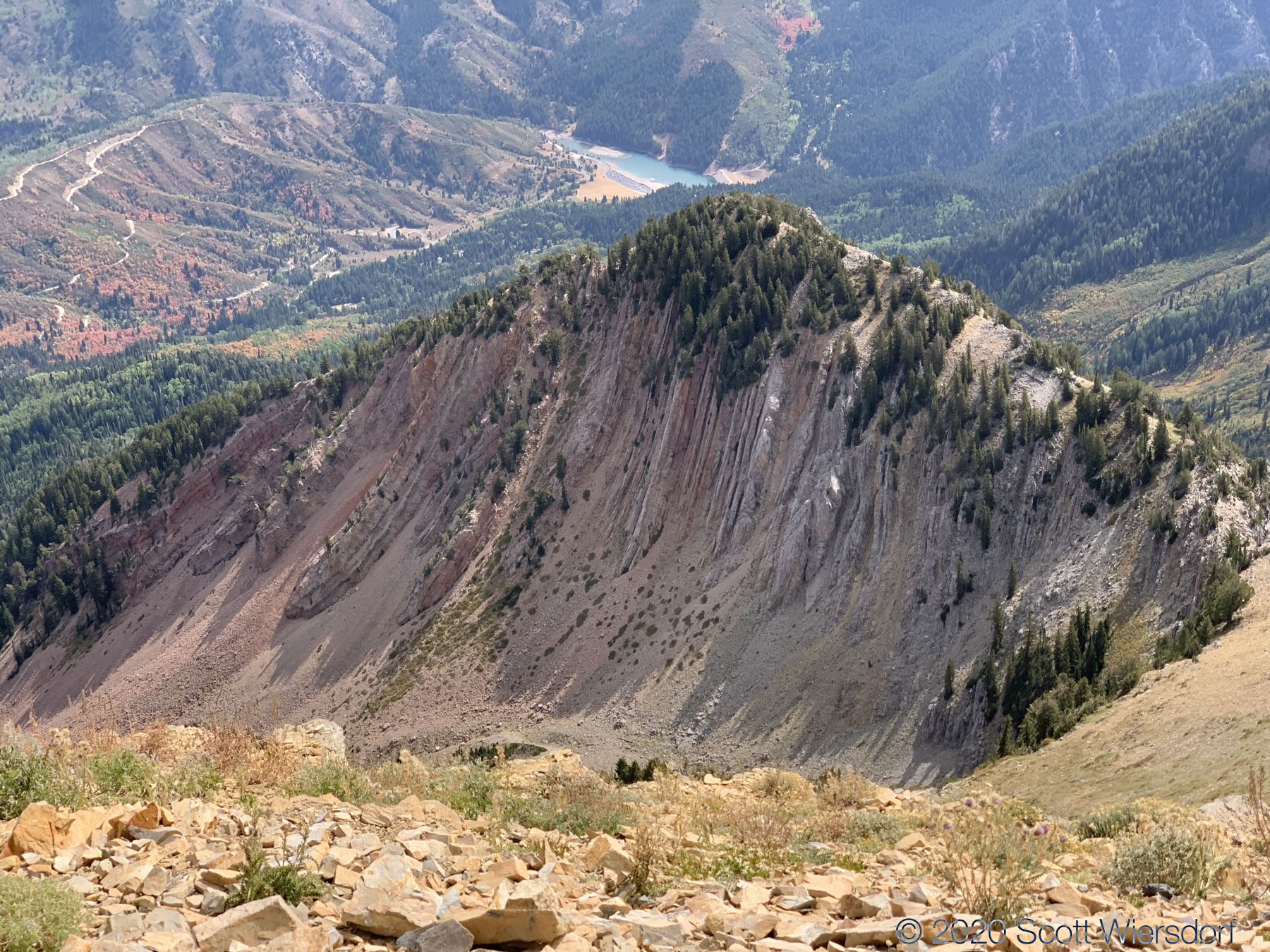
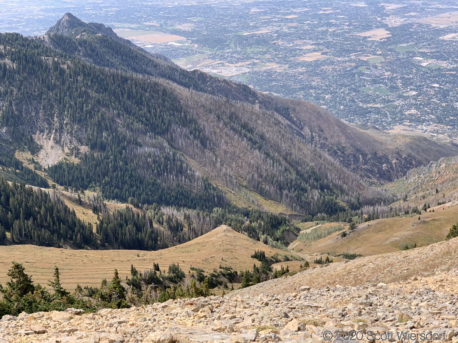
Some peak labels for your convenience:


I made a new friend; he laughed at my dad jokes:
My GPX track (view on Footpath ).
Last modified on 2020-09-15