Let me begin by saying that this was not my best hike, and it could have been better. Et, ut solitum est, mea culpa erat. Which is Latin for “I did not carefully check my ridge route before ascending.”
What that meant practically I’ll tell you later. First, the good part of the hike, which was like 95% of it. I started around 7:40 a.m., the sun still below the ridge to the east (Roberts Ridge). The trail was covered with a few inches of fine, dry dust.


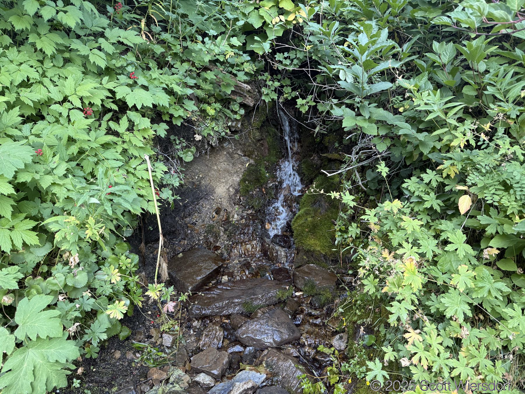
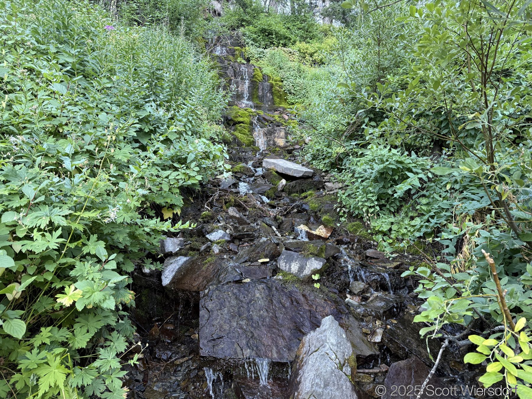
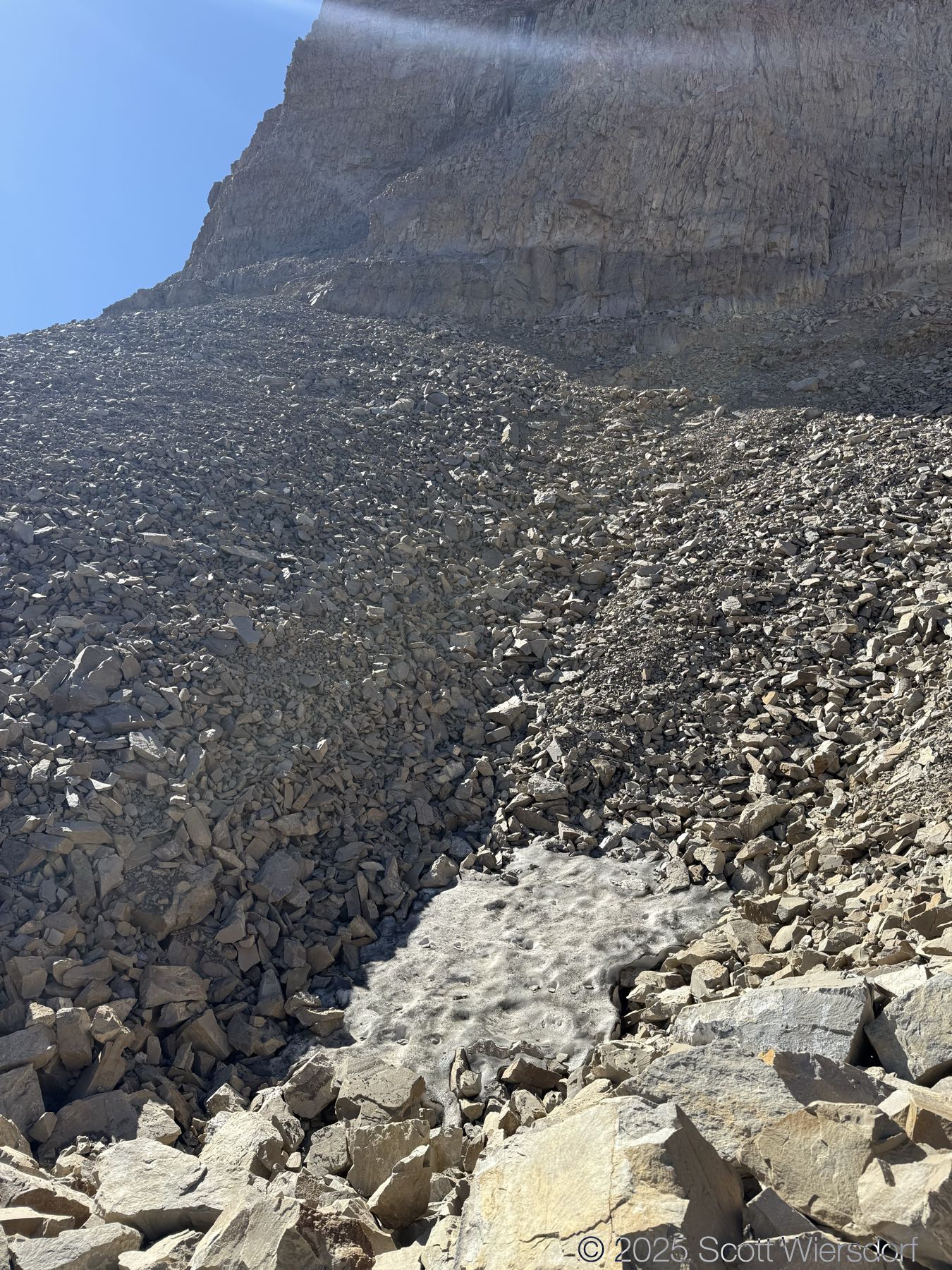
There was still water running late in this dry summer:
The trail through the lower Giant Staircase was shady most of the morning. The sun came up on the trail around mile 3.


At mile 4 I was back in the shade again, before the last “step” of the Giant Staircase that leads into Timpanogos Basin.


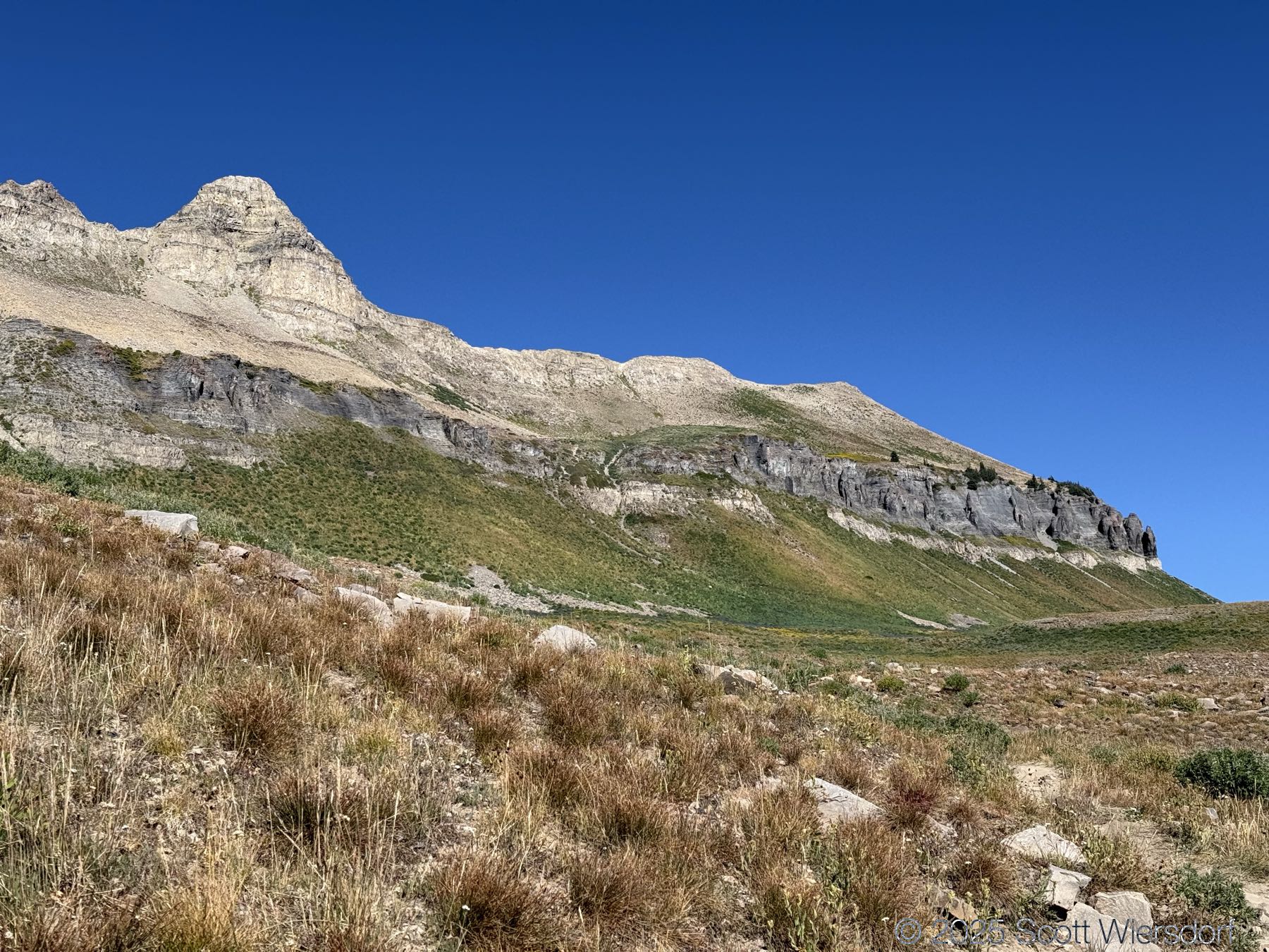
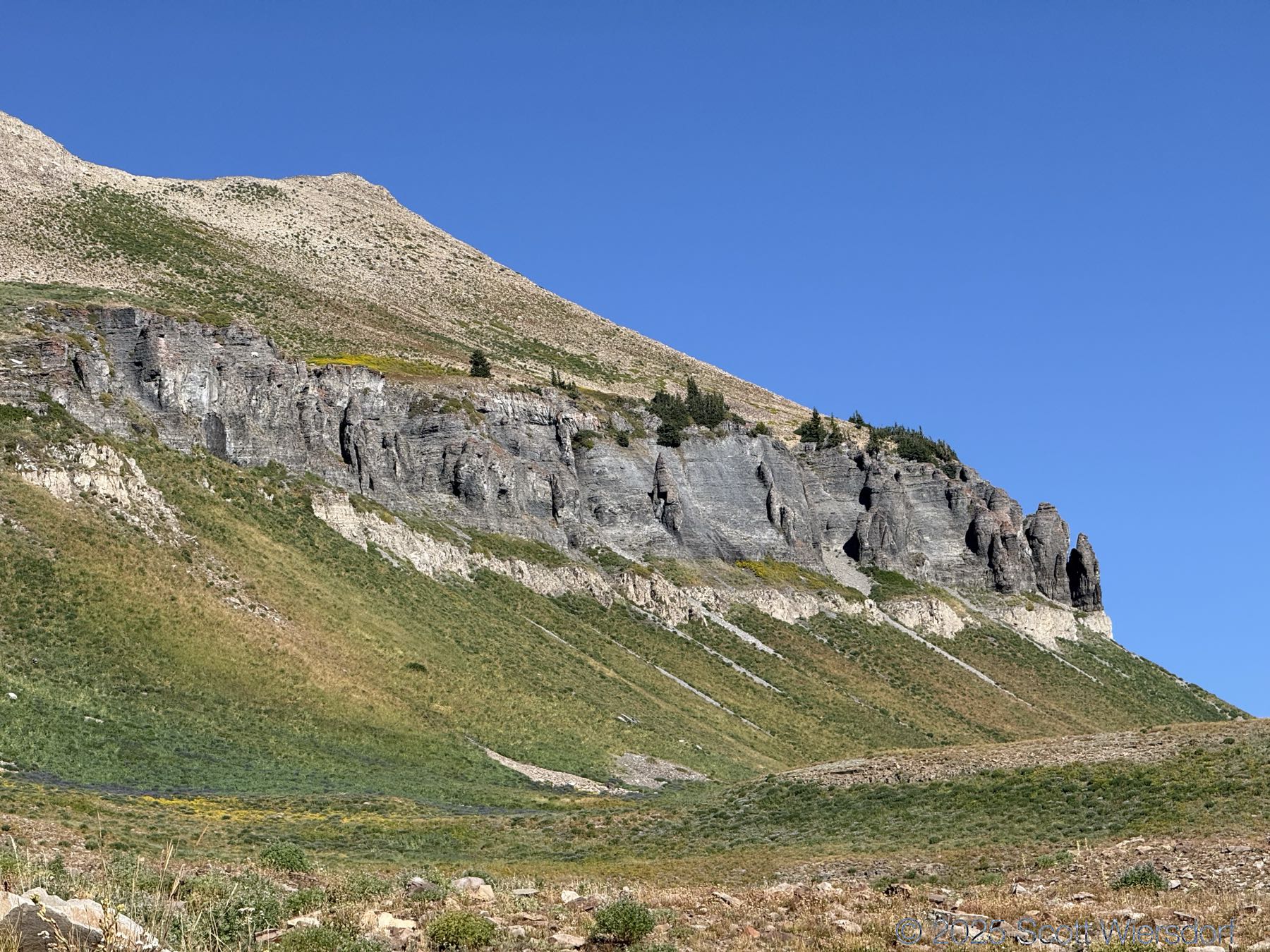
I love the views of Timpanogos Ridge in the lower section of Timpanogos Basin.
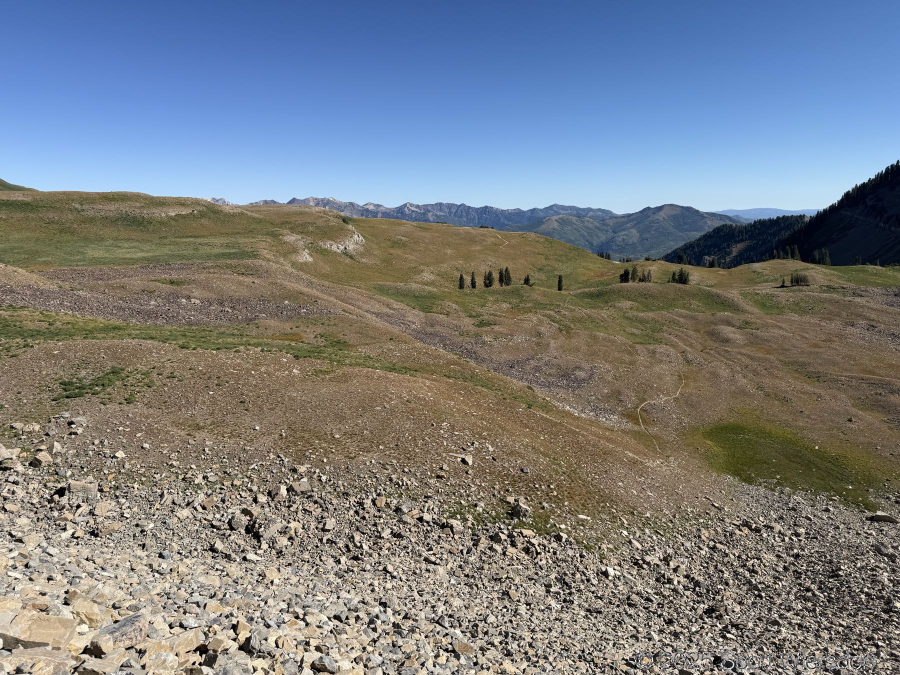
The upper part of the basin has its charms.
I am happy to say I found some snow in August and made a (wee) snowball. Hey Mark.
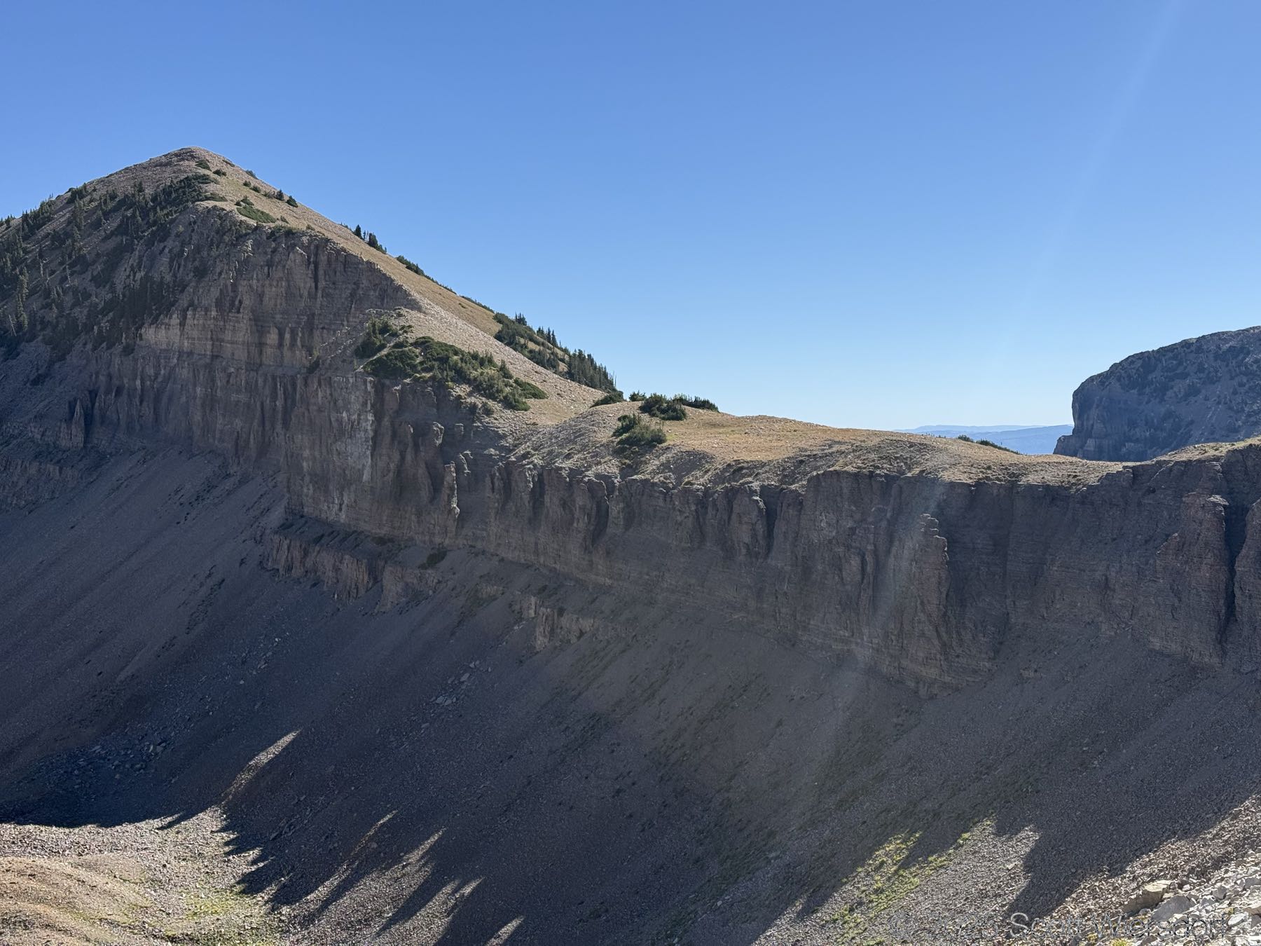
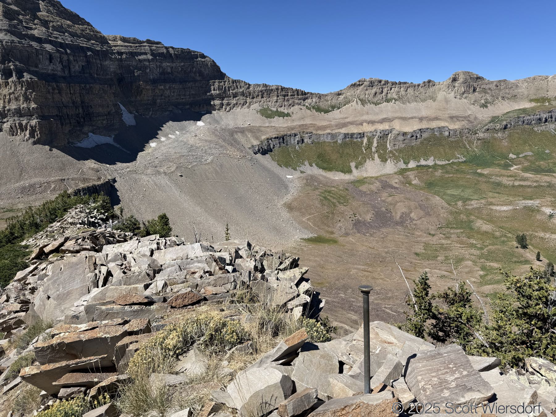
At this point I’m standing on Timp Divide, between Timpanogos Basin and Aspen Grove Basin. This is the southern end of Roberts Ridge.
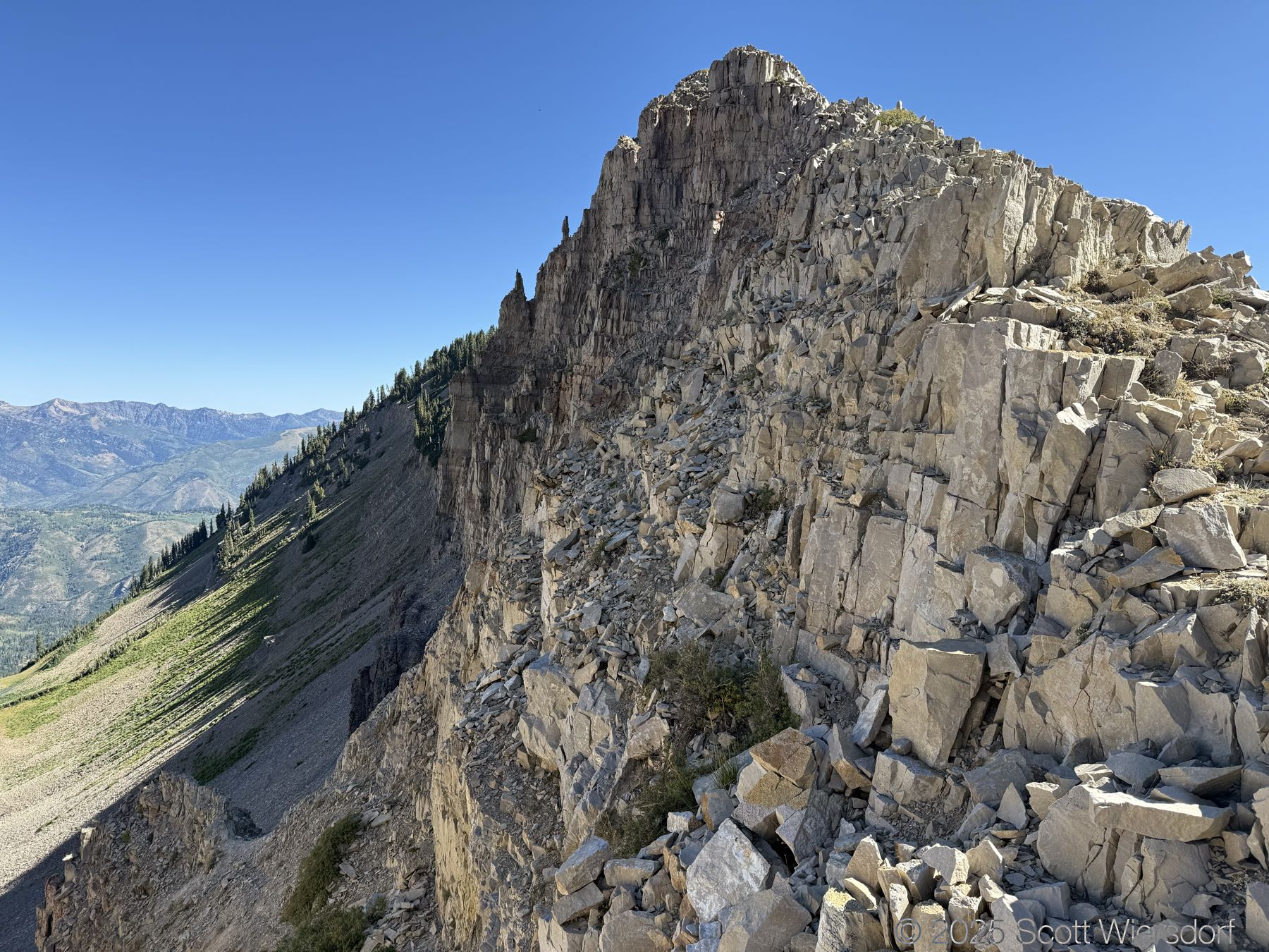


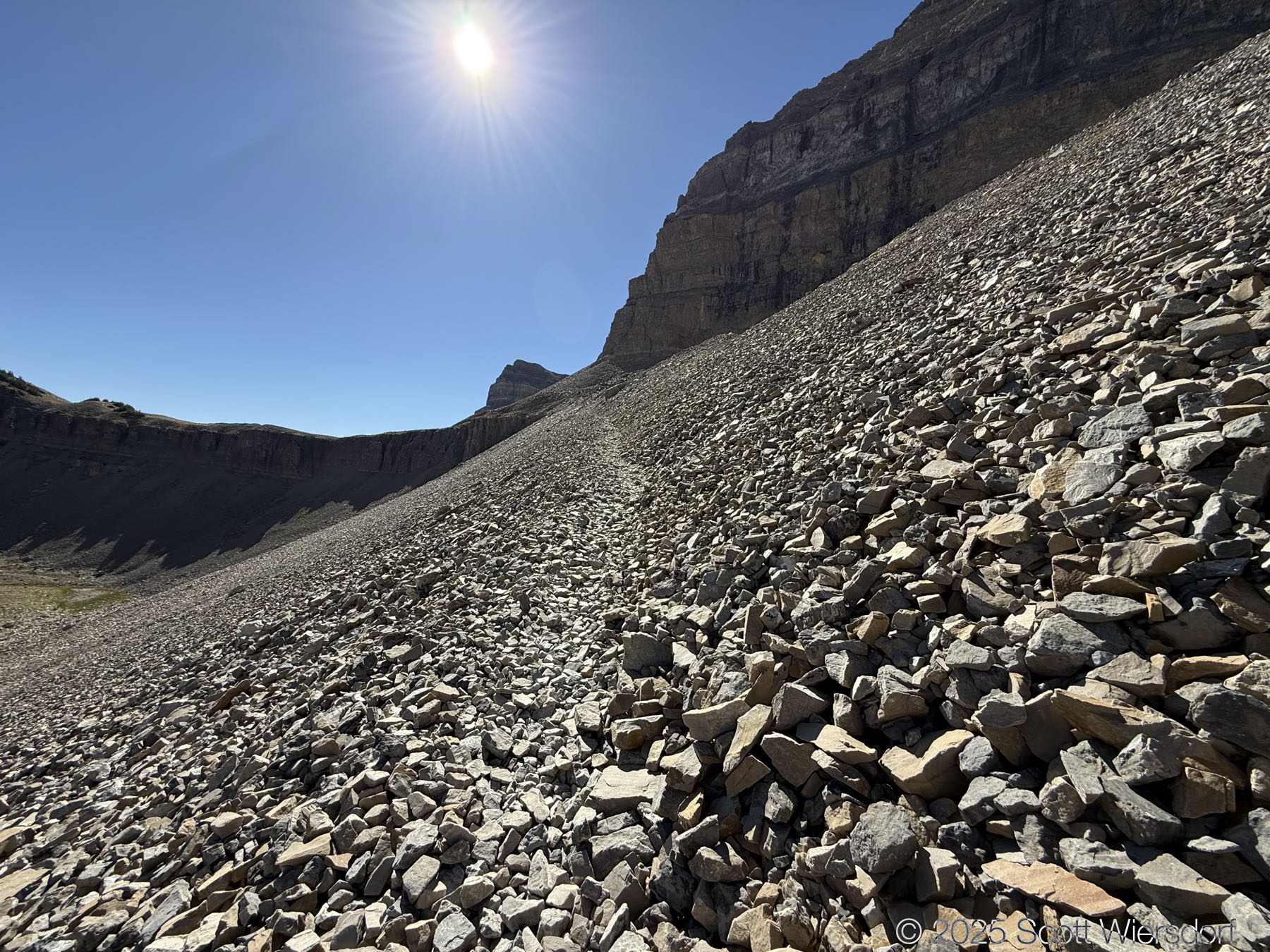
Here is where things went a little pear-shaped. Before I left, I sort of sketched my route (which you can see in the map at the bottom of this post) along what I thought was a nice smooth contour line, and then a final steep push of a few hundred feet near the peak. I should have done more research because there is an actual route that many people take which is perfectly good and easy to navigate. I think I panicked a little when I looked up the ridge and saw some of the alpine fir bramble… I have bad memories of scratching and clawing my way through this sort of thicket such that I will always opt for an open route, even when it’s worse. Which is what happened here.
I did finally make it up. If you’ve ever tried to climb up scree, you’ll know it’s a lot of one step up, 3/4 of a step back (or more). It was a lot of effort for so little—and it could have been completely avoided had I stayed as close to the ridgeline as possible.
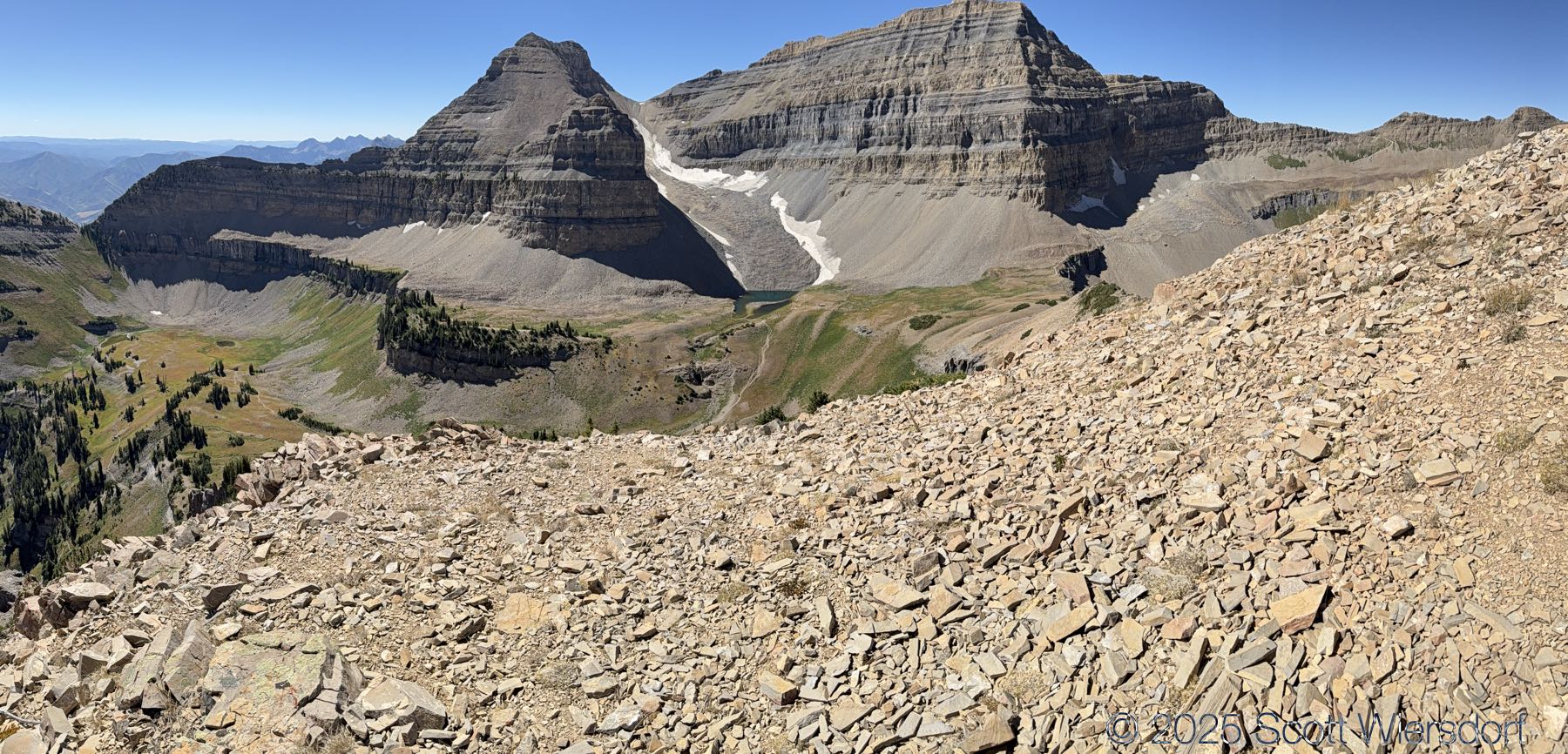
The view from Roberts Horn:
I feel that the views from Roberts Horn allow you to take in the heart of Timpanogos more than any other location.


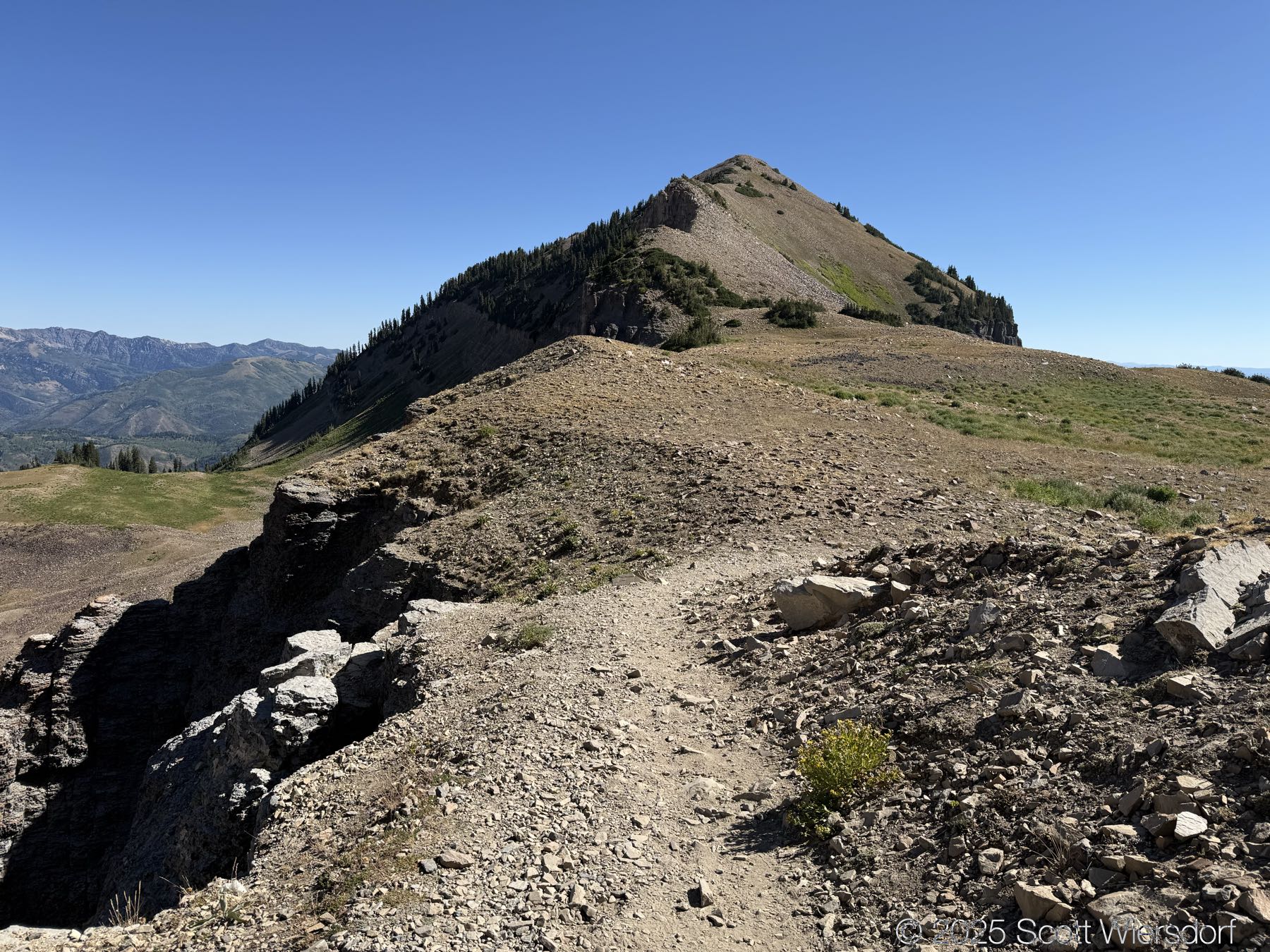
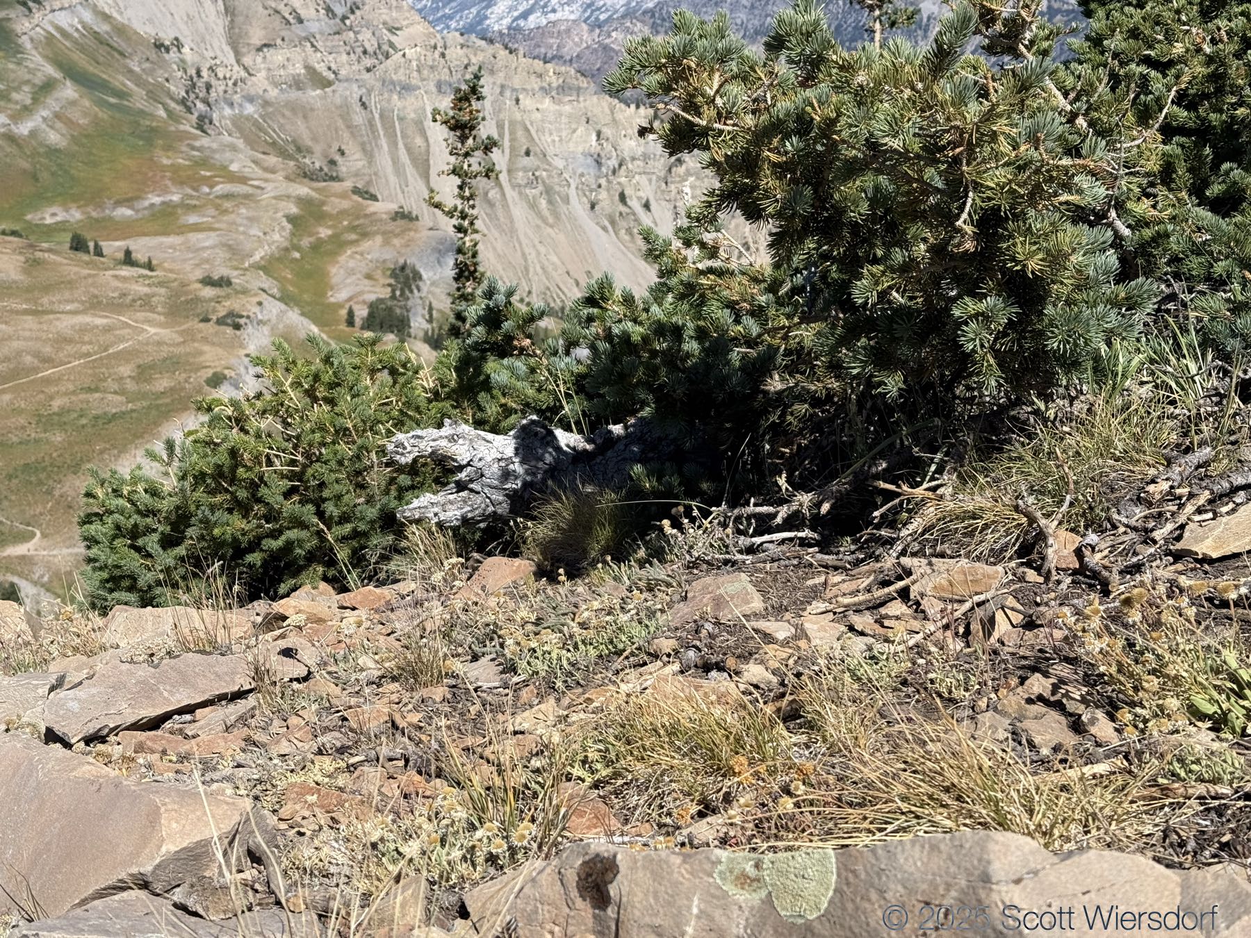
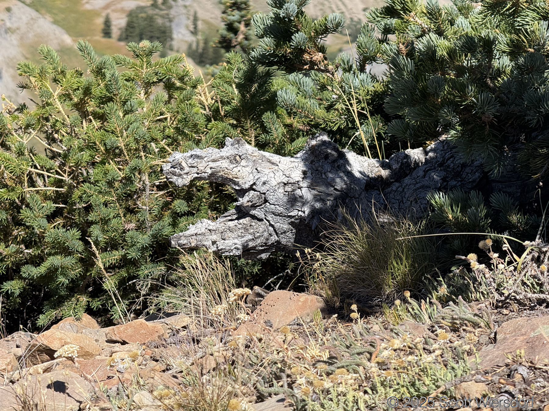
Roberts Ridge looks rough and forbidding from the bottom, but the ridge itself, while rocky, has eroded enough to leave plenty of room for a trail.
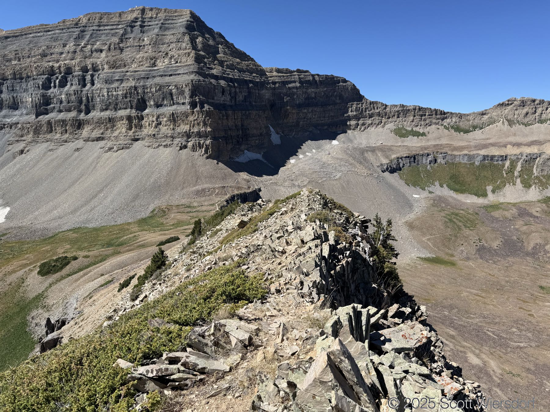
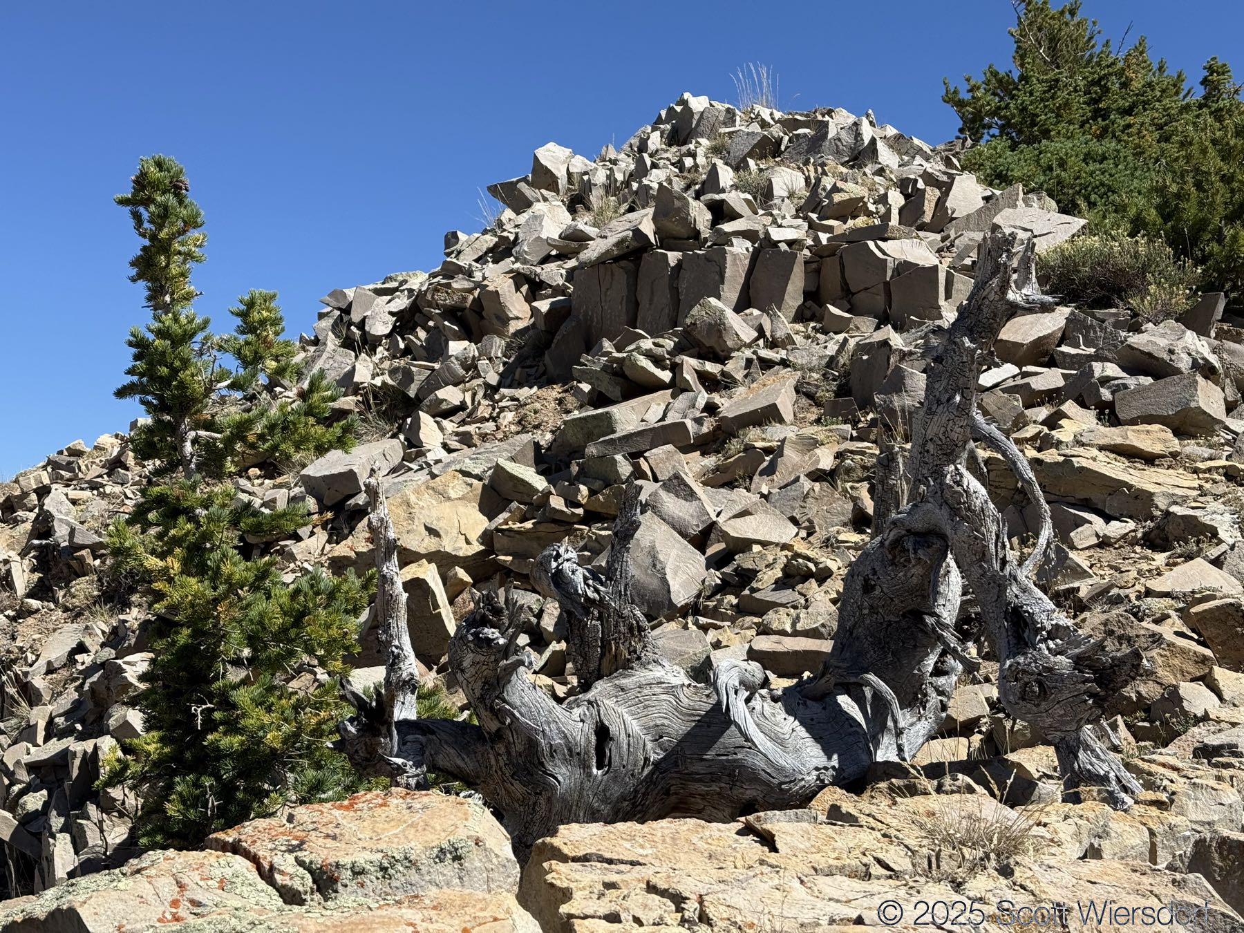
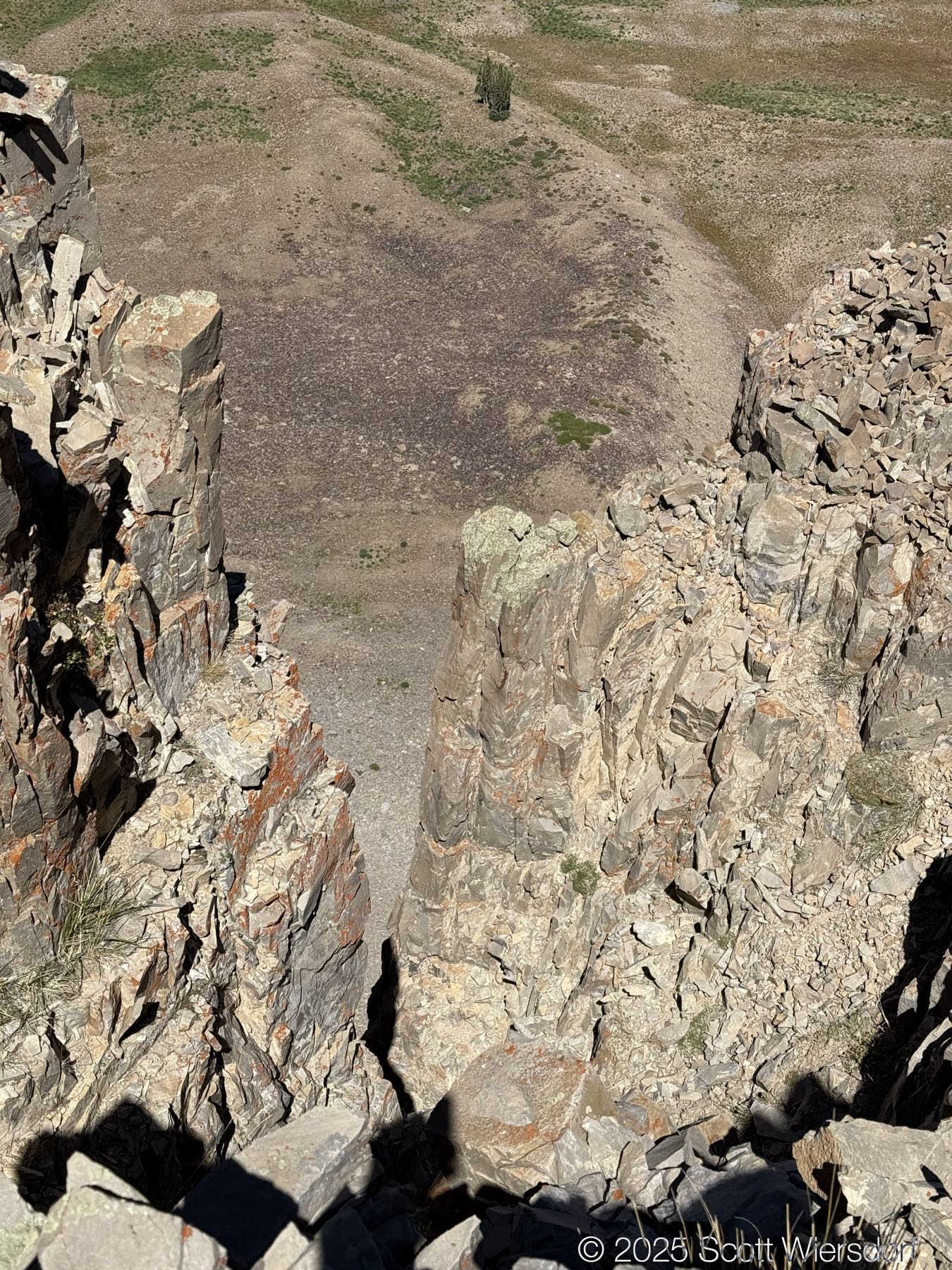
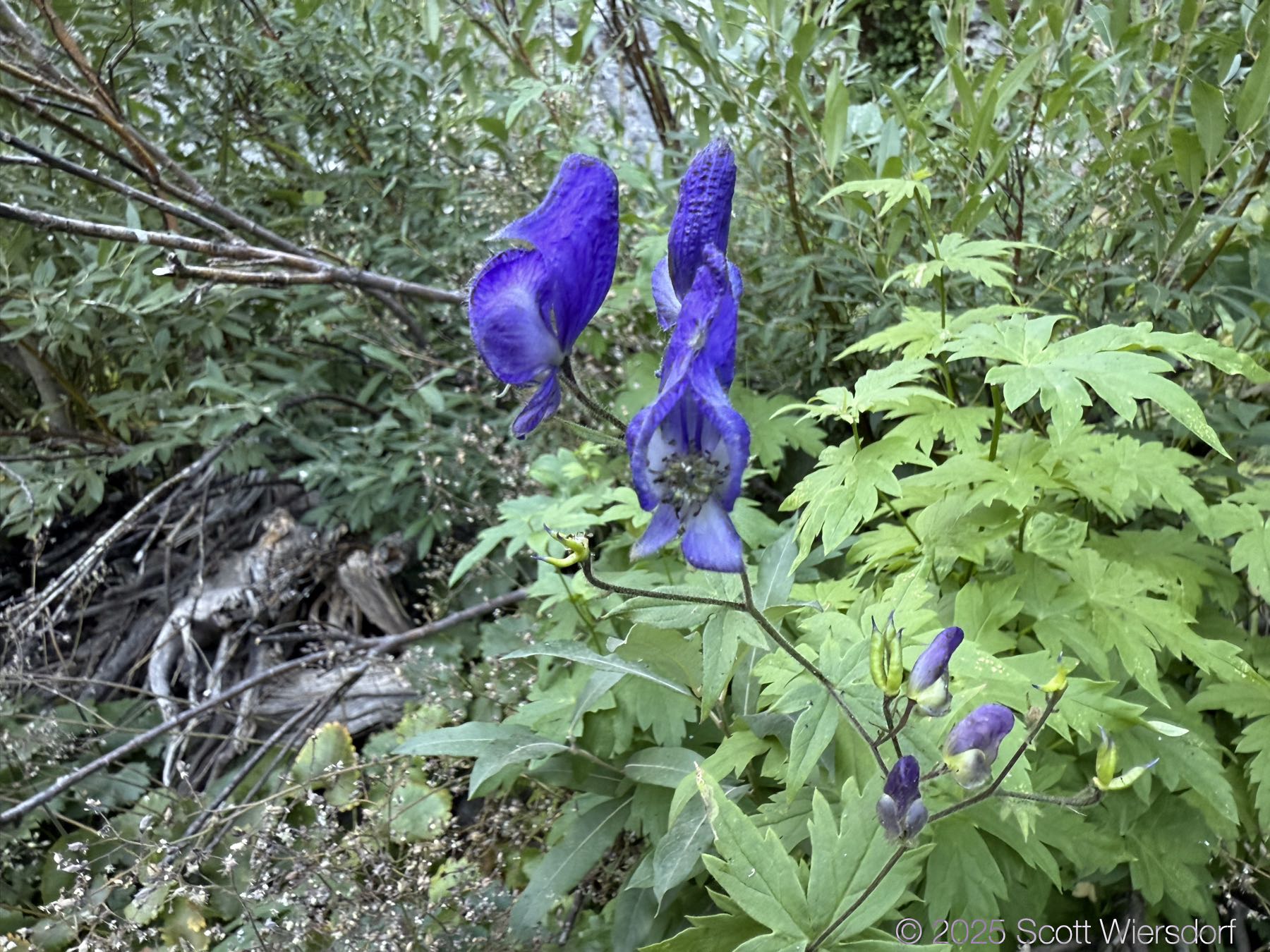
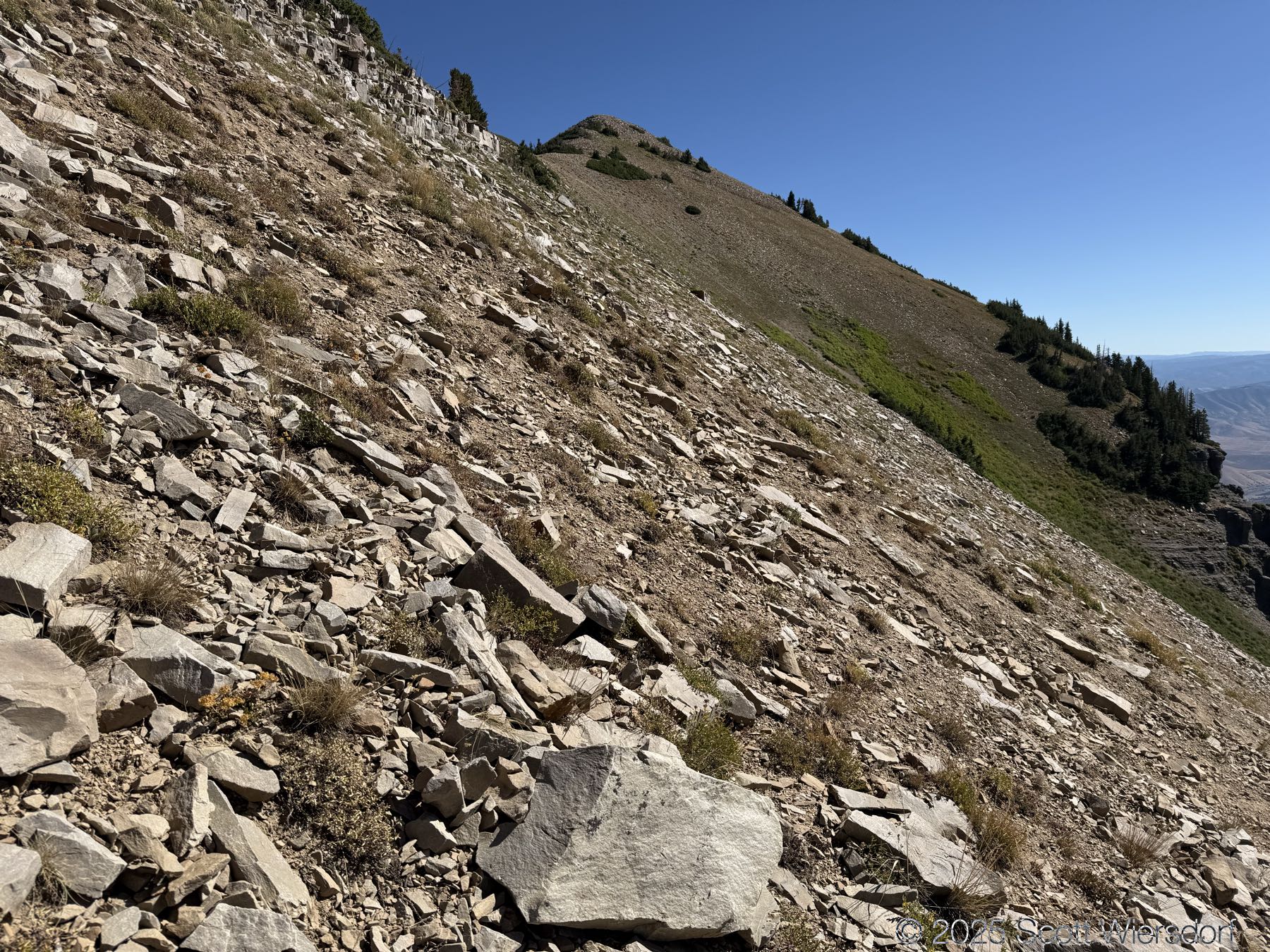
A few more photos on the way down.


Here is a 5 minute summary of the hike:
Lesson learned: trust the route dozens of other people before you have taken (and left GPS record of).
My GPX track (view on Footpath ).
Last modified on 2025-08-19