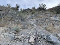
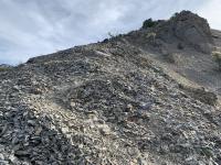
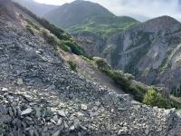
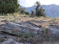
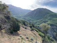
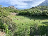
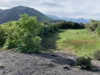
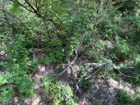
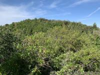
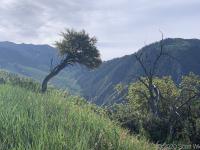
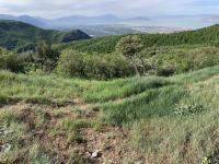
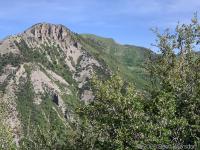
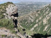
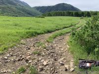
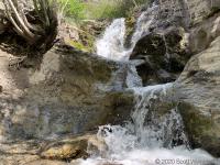
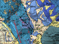
Little Mountain sits between Grove Creek on the north and Battle Creek on the south. I took a direct route from Kiwanis Park at the mouth of Battle Creek up the ridge to an old reservoir at the top.
The route I took is not often taken, but it looks like it was in heavy use in the distant past: you can see in some steep sections long iron bars and cables. What these were used for I can only guess.
Little Mountain has a reservoir (no longer used) a few hundred feet below its summit. The summit itself is covered in thick bramble and I didn’t bother attempting to reach it, but you can see it in the photos above.
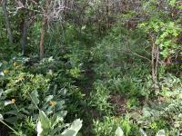
Because the route up the ridge is not maintained, sections of the path are overgrown or otherwise erased.
Interactive Geologic Map Portal of Utah .
My GPX track (view on Footpath ).
Last modified on 2020-06-02
